アイヒヴァルトのおすすめランニングルート
3.8
(15)
327
ランナー
21
ランニング
アイヒヴァルトでランニングを楽しめば、このエリアをより深く知ることができます。ランニングに適した美しいルートが見つかるように、komootがアイヒヴァルトでのルートのコレクション全体を評価して選び抜いた、人気ランニングトレイルをご紹介します。ルートをクリックして詳細を表示し、他のユーザーがアップロードした役立つ情報や写真を閲覧しましょう。
最終更新日: 10月 5, 2026
9
ランナー
12.4km
01:22
180m
180m
中程度のジョギング. ある程度のフィットネスレベルが必要です。 全般的に舗装された状態です。あらゆるスキルレベルに適しています。
5.0
(1)
30
ランナー
12.7km
01:20
110m
110m
中程度のジョギング. ある程度のフィットネスレベルが必要です。 全般的に舗装された状態です。あらゆるスキルレベルに適しています。

4.3
(6)
22
ランナー
8.57km
00:54
70m
70m
中程度のジョギング. ある程度のフィットネスレベルが必要です。 全般的に舗装された状態です。あらゆるスキルレベルに適しています。
25
ランナー
7.26km
00:45
50m
50m
中程度のジョギング. ある程度のフィットネスレベルが必要です。 全般的に舗装された状態です。あらゆるスキルレベルに適しています。
4.5
(2)
27
ランナー
15.2km
01:37
170m
170m
難しいジョギング. 標準以上のフィットネスレベルが必要です。 全般的に舗装された状態です。あらゆるスキルレベルに適しています。
さらに多くのルートや他のユーザーのおすすめ情報を確認できます。
すでにアカウントをお持ちですか?
おすすめのツアーは他のkomootユーザーが実際に経験した何千ものアクティビティに基づいています。
無料アカウントで今日から始めよう
次の冒険が待っています。
コミュニティからのヒント

... on the "Stettener Bachweg" or on the "Stettener Haldenbach" - lies in the "Stettener Bach" nature reserve - it includes the wooded valley of the "Stettener (Halden)Bach" with its side branches from the source to the exit into the open meadows on the border with the Rems-Murr district Excursus "Haldenbach": - the actual "Haldenbach" is only about 3 km long - 2 so-called upper reaches flow into it (part of a river that is near the source(s): - left upper reach = "Stettener Haldenbach" (source near "Aichschieß" and about 8 km long) - right upper reach = "Strümpfelbach" (source near "Schanbach" and about 6 km long) - both upper reaches rise in the Schurwald - the two upper reaches flow together at the "Seemühle" in "Stetten" - the "Haldenbach" finally flows into the "Rems" (in "Endersbach")
0
0
... the "Steinbrückle" on the "Stettener Bachweg" - is located in the nature reserve (NSG) "Stettener Bach" - here the "Strümpfelbacher Fußweg" crosses the "Stettener Haldenbach" - markings include a "blue cross"
0
0

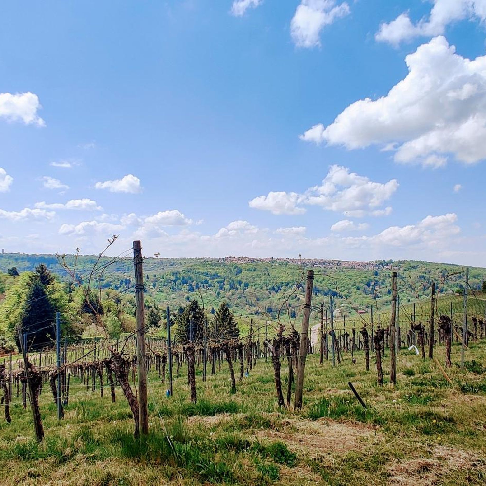
Nice spot in nice surroundings :-)
0
0

a small bridge over the Stettener Haldenbach, which you cross if you come from Lobenrot or want to go up there.
0
0

A great starting point for various hikes. Good food and friendly service.
4
0

Delicious food and beautiful view.
2
0

There's delicious ice cream here.
0
0
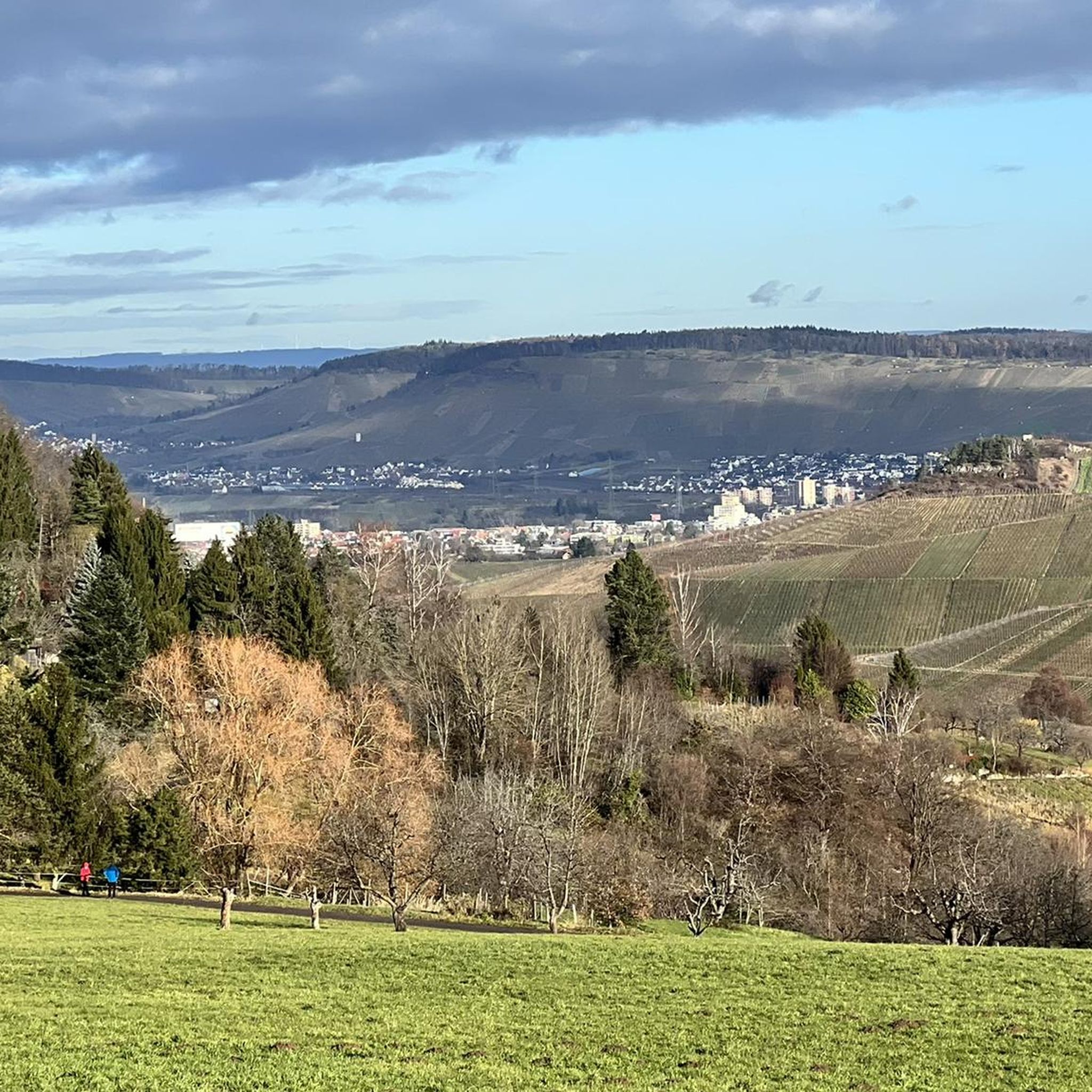
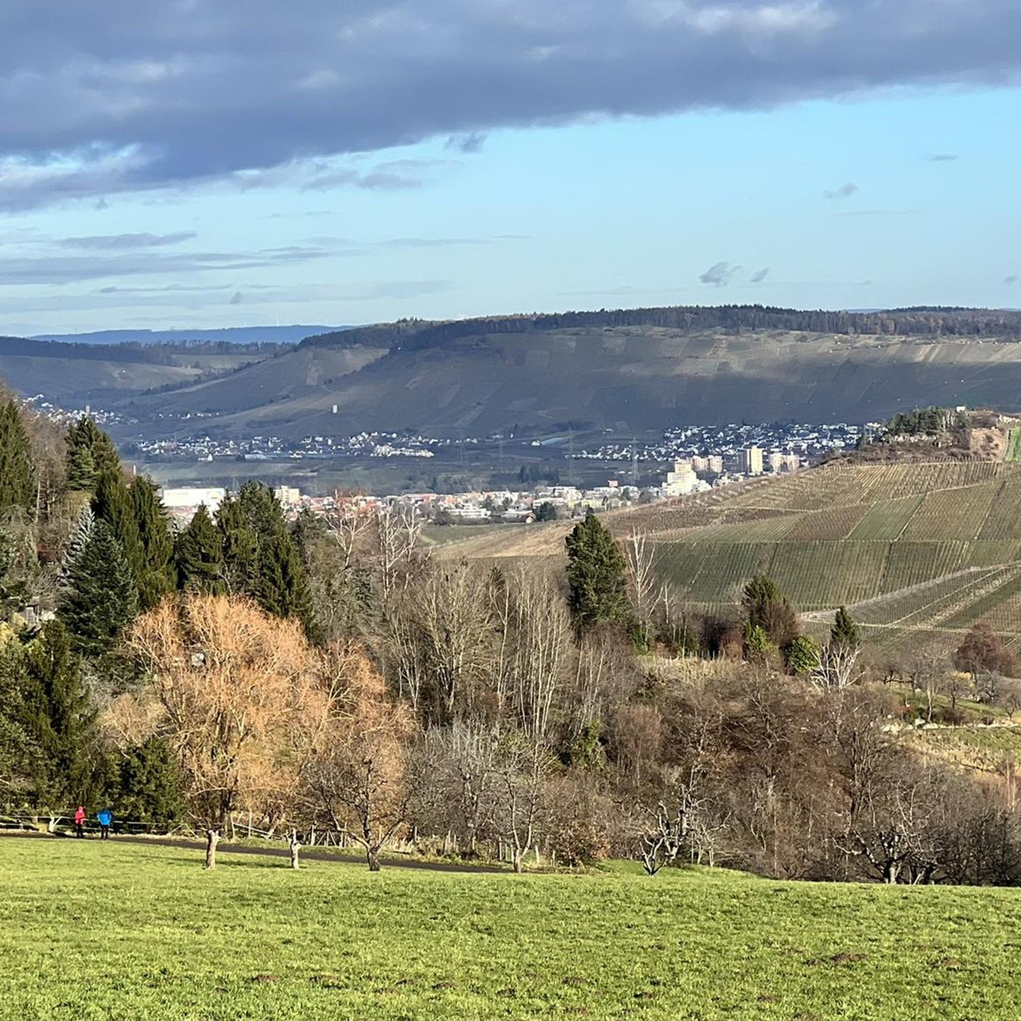
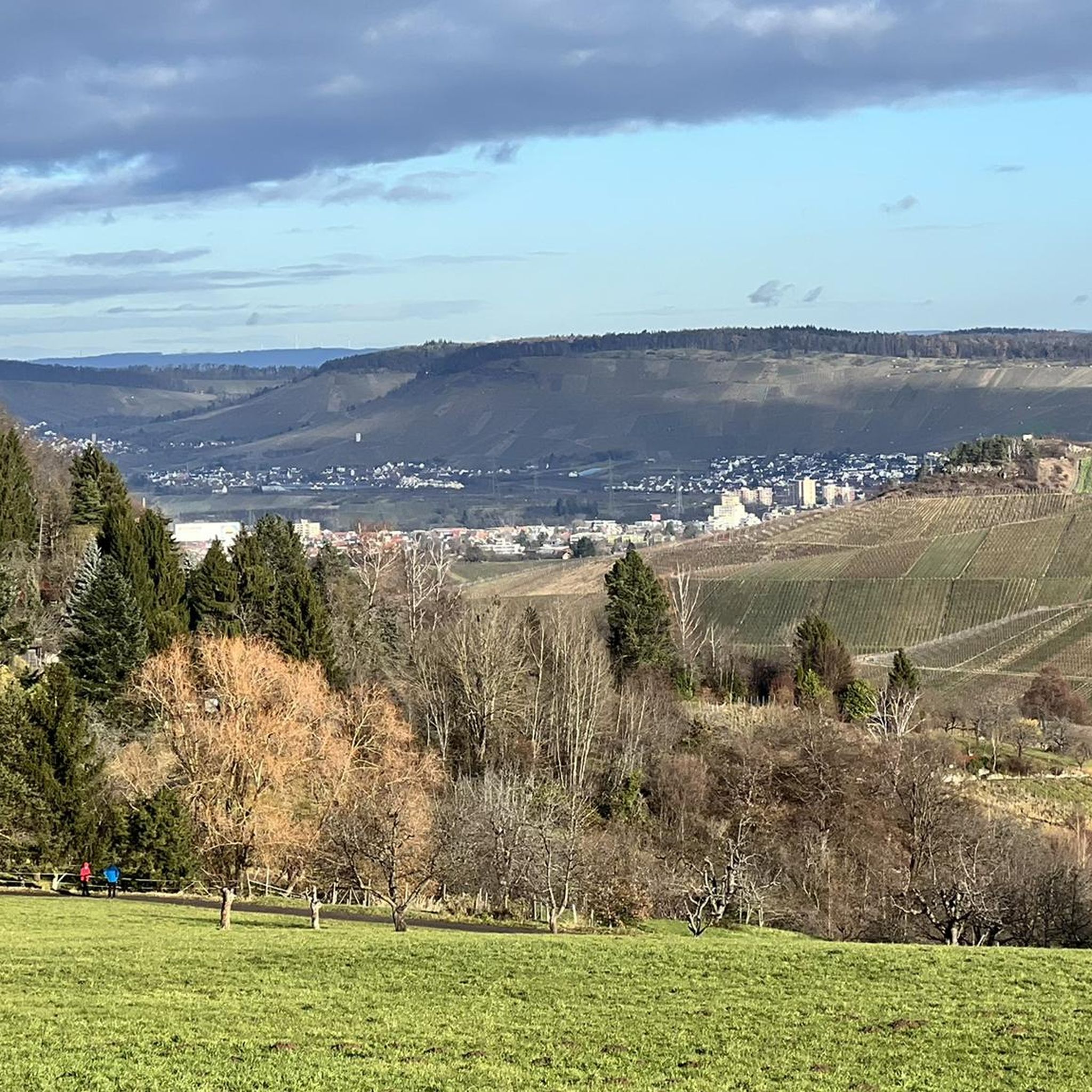
From here you have a beautiful view of the stocking creek. 🧦
0
0

komootモバイルアプリでインスピレーションを得よう


さらに探索
他の地域の最高のランニングトレイル & ルートを見てみましょう。
