リートハイム=ヴァイルハイムのおすすめランニングルート
3.0
(18)
172
ランナー
24
ランニング
リートハイム=ヴァイルハイムでランニングを楽しめば、このエリアをより深く知ることができます。ランニングに適した美しいルートが見つかるように、komootがリートハイム=ヴァイルハイムでのルートのコレクション全体を評価して選び抜いた、人気ランニングトレイルをご紹介します。ルートをクリックして詳細を表示し、他のユーザーがアップロードした役立つ情報や写真を閲覧しましょう。
最終更新日: 11月 1, 2026
8
ランナー
5.21km
00:35
50m
50m
中程度のジョギング. ある程度のフィットネスレベルが必要です。 ほとんどが舗装路です。
2.0
(1)
20
ランナー
14.6km
01:31
90m
90m
中程度のジョギング. ある程度のフィットネスレベルが必要です。 ほとんどが舗装路です。

4.9
(10)
12
ランナー
6.06km
00:38
40m
40m
中程度のジョギング. ある程度のフィットネスレベルが必要です。 ほとんどが舗装路です。
5
ランナー
8.52km
00:56
130m
130m
中程度のジョギング. ある程度のフィットネスレベルが必要です。 ほとんどが舗装路です。
10
ランナー
26.0km
02:50
390m
390m
難しいジョギング. 標準以上のフィットネスレベルが必要です。 ほとんどが舗装路です。
さらに多くのルートや他のユーザーのおすすめ情報を確認できます。
すでにアカウントをお持ちですか?
おすすめのツアーは他のkomootユーザーが実際に経験した何千ものアクティビティに基づいています。
無料アカウントで今日から始めよう
次の冒険が待っています。
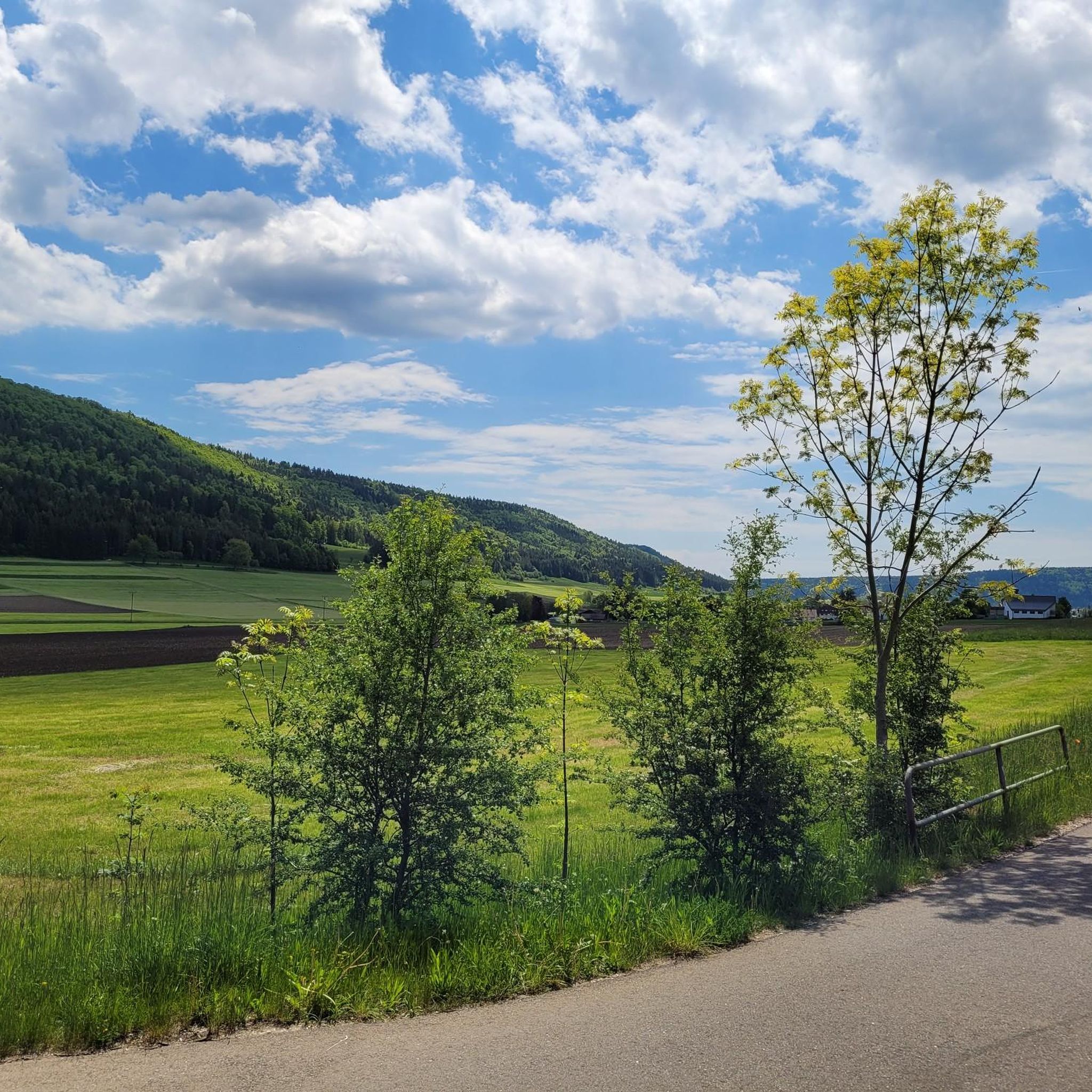
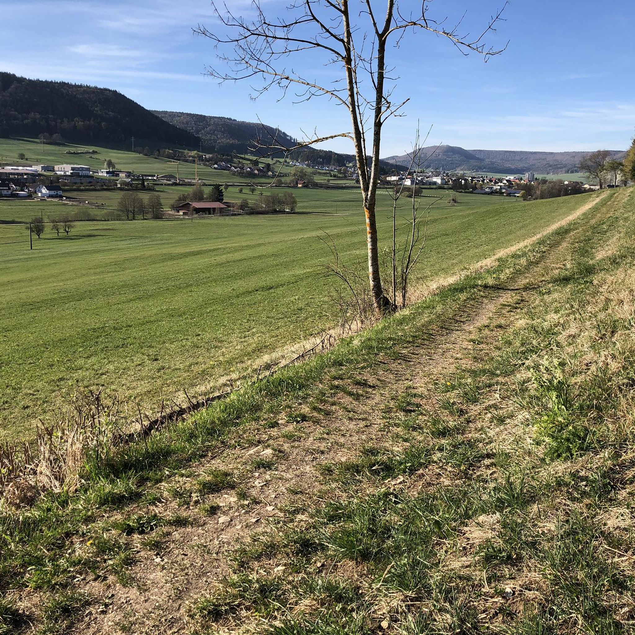
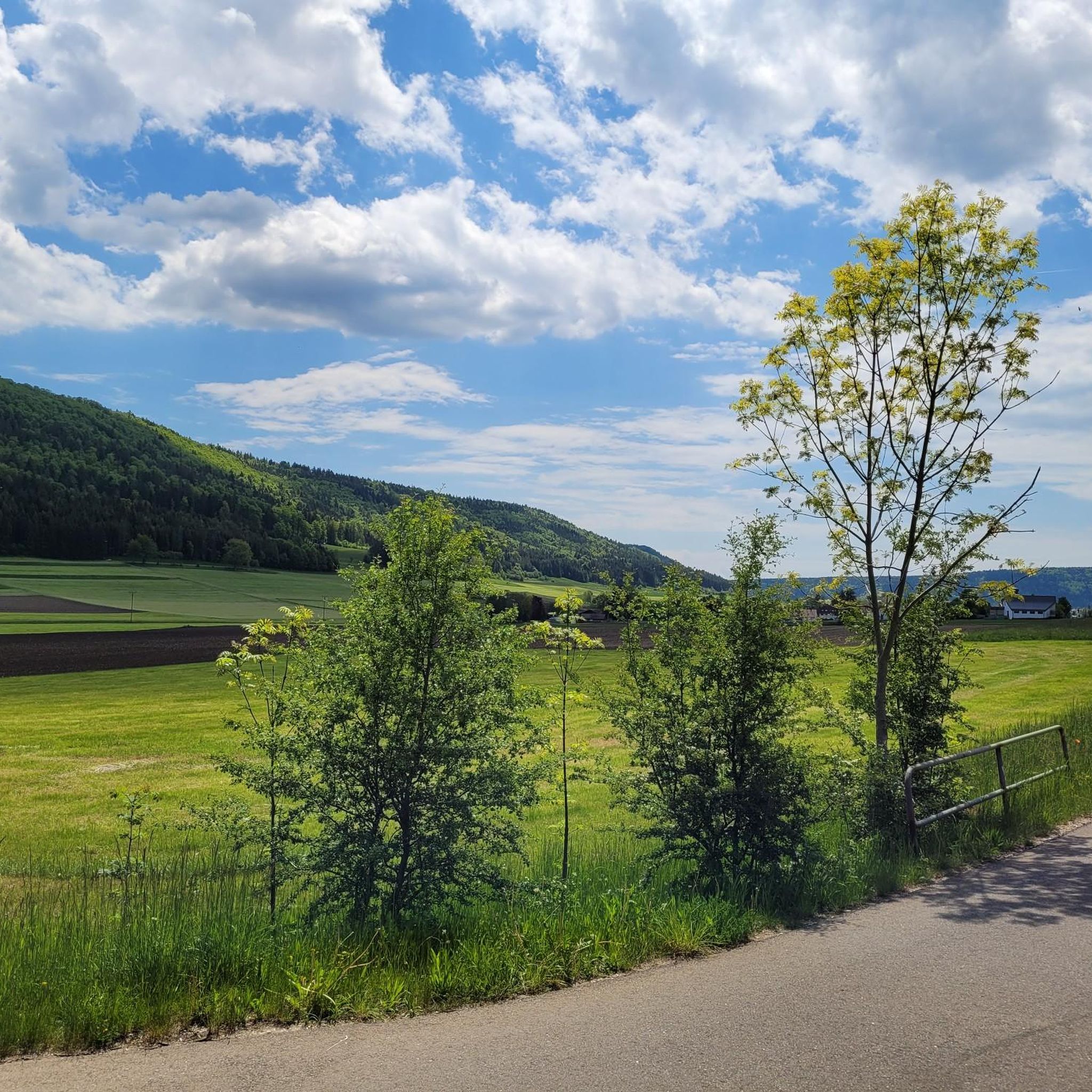
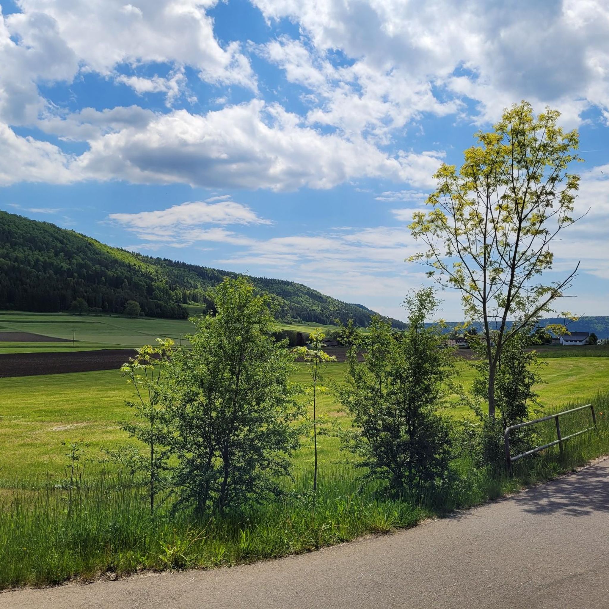

コミュニティからのヒント

A bench with a cross and a great view of the valley.
1
0

There are several places to stop along the way
2
0

The hut is closed, but you can still take shelter there in case of heavy rain. There are benches under the awning, as well as a table.
0
0

A really nice place for a break.
0
0

Great large barbecue area with several benches
0
0

From the end of the 7th century AD there was a Roman farm here, which included a stone house, an outbuilding and a bath building.
0
0

Cycle path connection through the Swabian Alb Geopark on a small road via the Weilheimer Stiege to Seitingen. We recommend the steep (up to 20%) 2.2km long 230m climb from Weilheim and the relaxed 2.6km descent with 200m to Seitingen. Occasionally a car gets lost on this little road. Asphalt is good!
3
1

Very nice, well-kept rest area with barbecue area
1
0
リートハイム=ヴァイルハイムでのの人気観光スポット

komootモバイルアプリでインスピレーションを得よう


さらに探索
他の地域の最高のランニングトレイル & ルートを見てみましょう。
