オシェーレトのおすすめランニングルート
4.4
(45)
1,799
ランナー
259
ランニング
オシェーレトでランニングを楽しめば、このエリアをより深く知ることができます。ランニングに適した美しいルートが見つかるように、komootがオシェーレトでのルートのコレクション全体を評価して選び抜いた、人気ランニングトレイルをご紹介します。ルートをクリックして詳細を表示し、他のユーザーがアップロードした役立つ情報や写真を閲覧しましょう。
最終更新日: 10月 11, 2026
63
ランナー
9.78km
01:01
10m
10m
中程度のジョギング. ある程度のフィットネスレベルが必要です。 全般的に舗装された状態です。あらゆるスキルレベルに適しています。
60
ランナー
9.17km
00:58
10m
10m
中程度のジョギング. ある程度のフィットネスレベルが必要です。 全般的に舗装された状態です。あらゆるスキルレベルに適しています。

4.7
(3)
48
ランナー
9.14km
01:01
50m
50m
中程度のジョギング. ある程度のフィットネスレベルが必要です。 全般的に舗装された状態です。あらゆるスキルレベルに適しています。
5.0
(2)
42
ランナー
28.3km
03:19
400m
400m
難しいジョギング. 標準以上のフィットネスレベルが必要です。 全般的に進みやすいルートです。一部で、安定して歩行できる技術が必要です。
31
ランナー
5.03km
00:32
0m
0m
中程度のジョギング. ある程度のフィットネスレベルが必要です。 全般的に舗装された状態です。あらゆるスキルレベルに適しています。
さらに多くのルートや他のユーザーのおすすめ情報を確認できます。
すでにアカウントをお持ちですか?
おすすめのツアーは他のkomootユーザーが実際に経験した何千ものアクティビティに基づいています。



コミュニティからのヒント

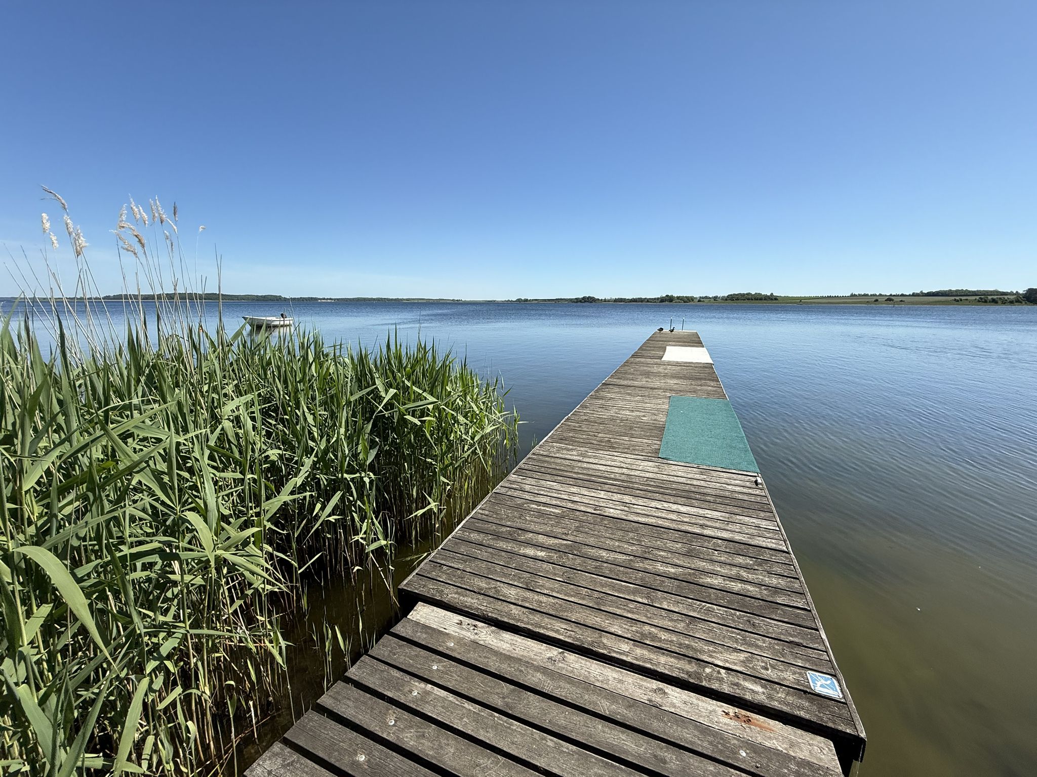
At the end of the island, there's a jetty that takes you across the bay. At low tide, you can even walk a bit out onto the mudflats. A very beautiful spot, highly recommended.
0
0
The absolute highlight of the area: from the top, you have a wide and spectacular panoramic view of the landscape and coast. The best way to explore the area is by hiking down to the beach.
0
0

Vejrhøj marks the highest point on the elongated hill, Vejrhøjbuen, one of three hill arches in Odsherred. These are terminal moraines that were formed during the last ice age when the glaciers pushed the ground in front of them. They are one of the best known examples of this special type of ice age landscape in Europe. The burial mound dates from the Bronze Age and is still shrouded in mystery as it has not yet been excavated by archaeologists or plundered by grave robbers. It is due to the special landscape and cultural-historical significance of Vejrhøj that the site was named Denmark's first UNESCO Global Geopark. In the area around Vejrhøj there are several signposted hiking routes and good parking facilities. The largest parking lot is at "Vraget". From there a steep path leads up to the burial mound. https://www.opdagdanmark.dk/de/oplevelser/vejrhoej/
3
1

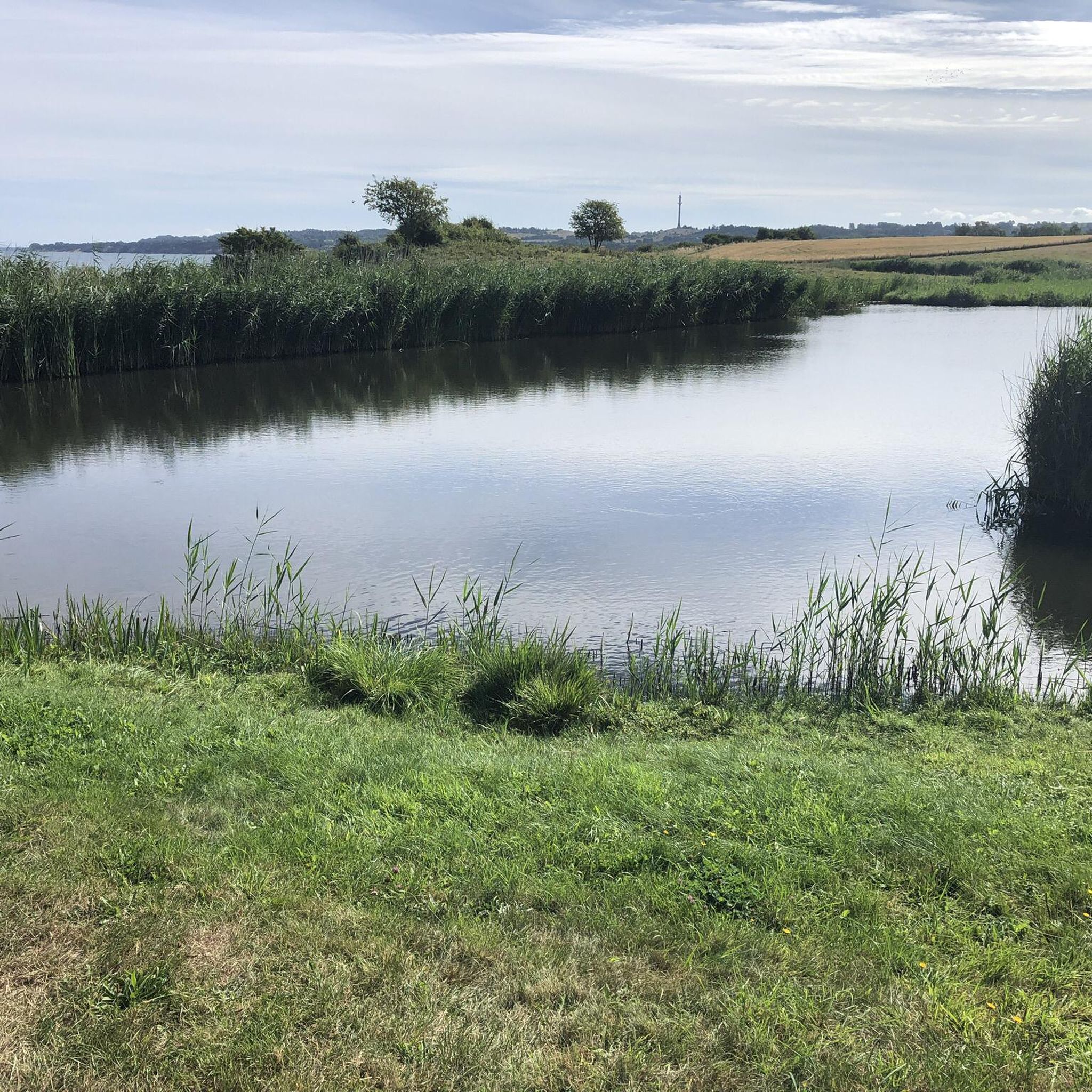
You are not allowed to go to the tip of the headland. There are explicit signs saying otherwise. That would disturb the breeding birds!
0
0


Old grave from the Bronze Age. Detailed explanation is provided on the information board.
2
0

Pretty bridge partly through the reeds to the headland with bird sanctuary.
0
0
オシェーレトでのの人気観光スポット

komootモバイルアプリでインスピレーションを得よう


さらに探索
他の地域の最高のランニングトレイル & ルートを見てみましょう。
