ジャマーバグのおすすめランニングルート
4.4
(163)
2,545
ランナー
313
ランニング
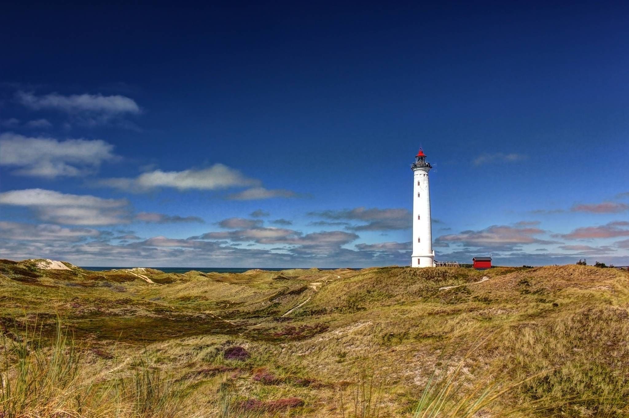
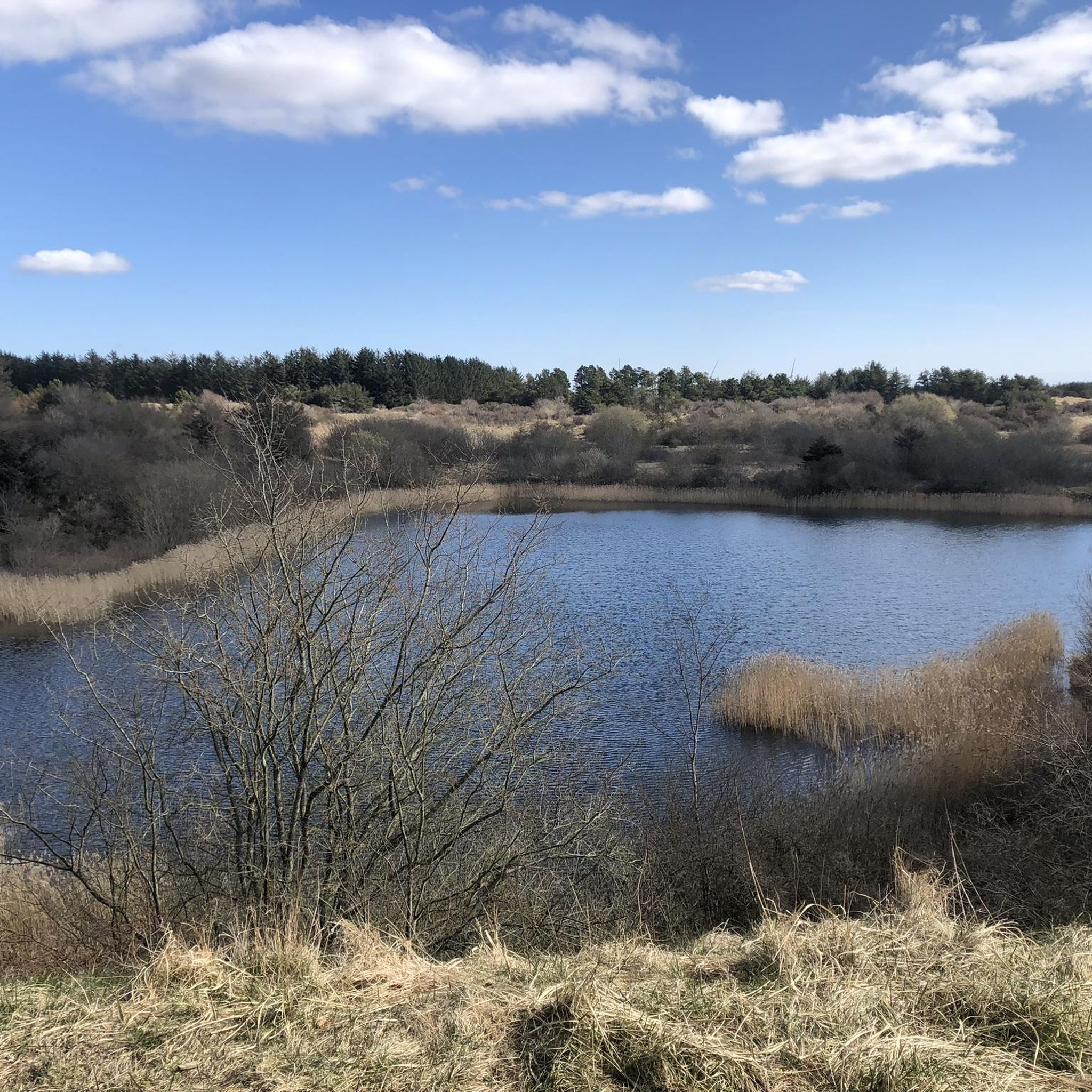
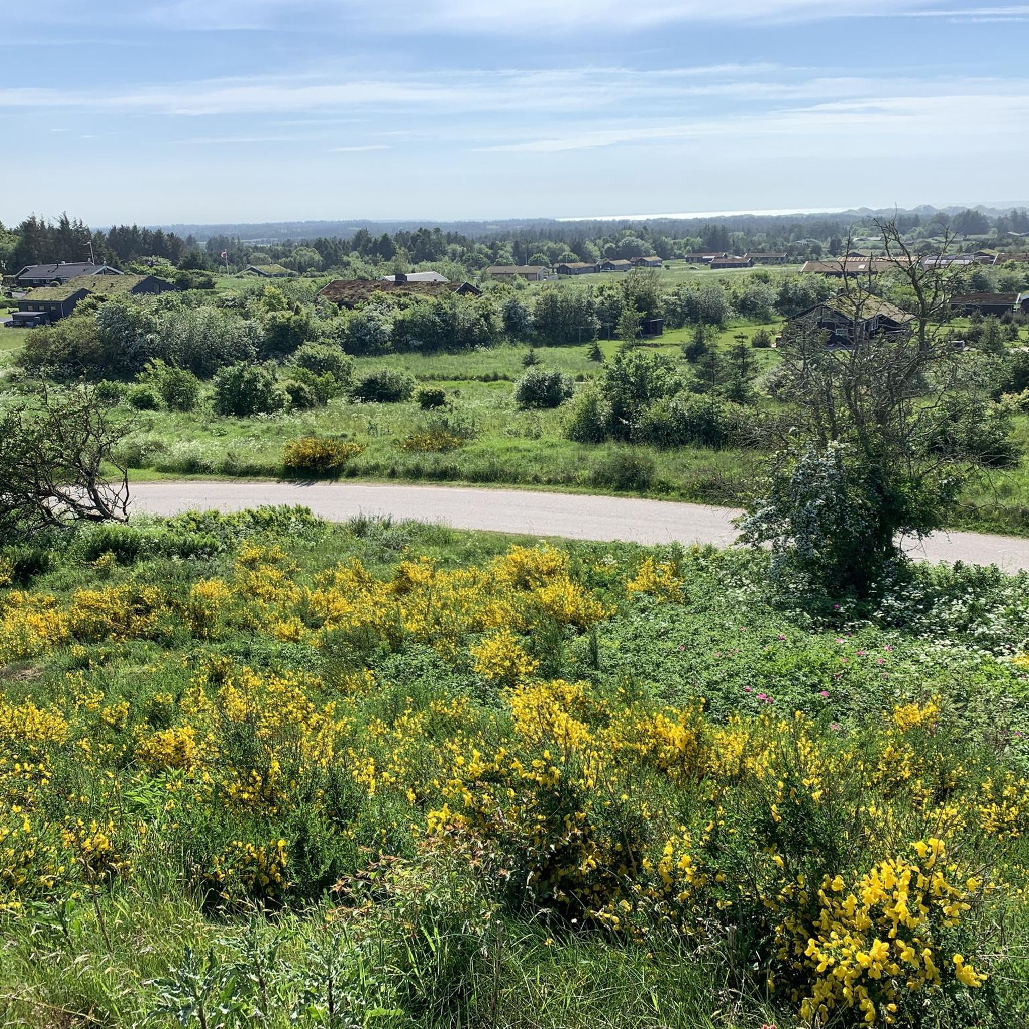
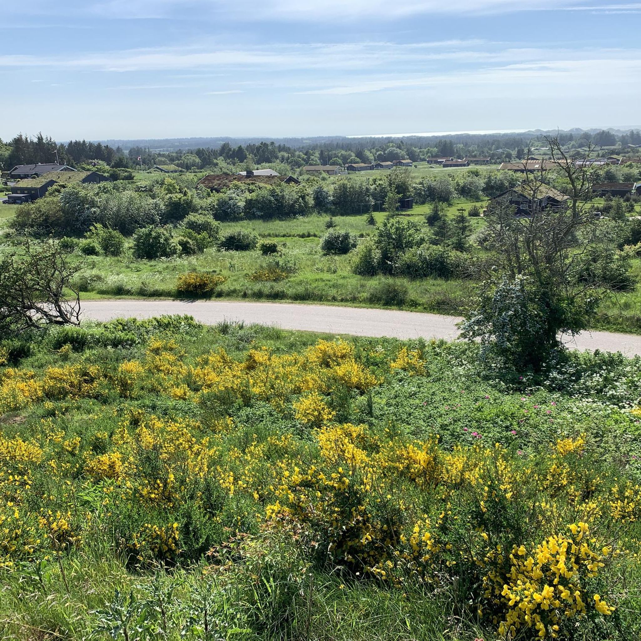
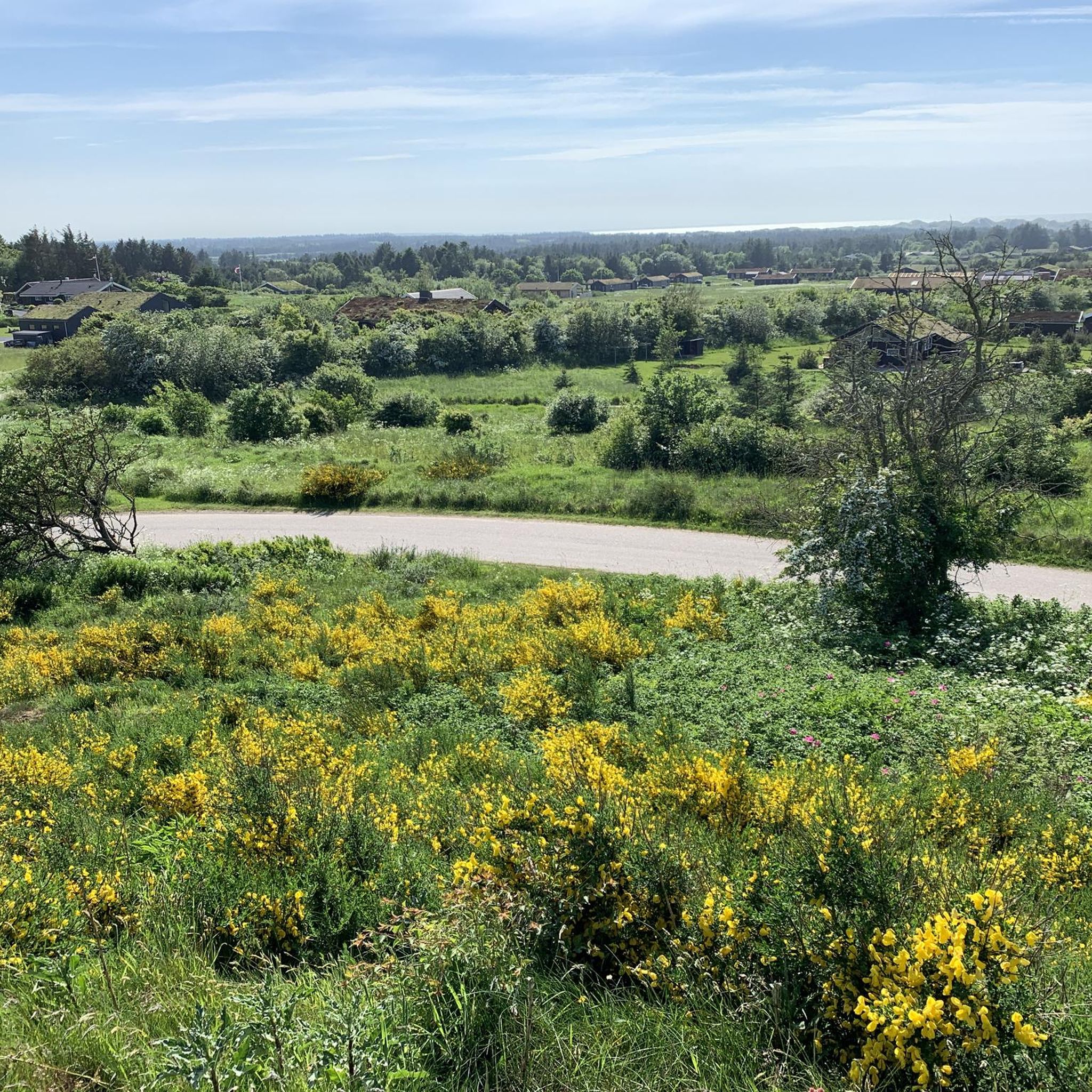
Jammerbugtのジョギングルートは、デンマークの北海沿岸に沿った多様な景観を巡ります。この地域には、広大な砂浜、そびえ立つ砂丘、風に吹かれるヒースランドがあり、ランニングに適した変化に富んだ地形を提供しています。内陸には、古代の森林と深い谷があり、さらに多くの道があります。この組み合わせは、さまざまな好みに合わせた景色の良いルートを提供します。
Jammerbugtの最高のジョギングルート
- 最も人気のあるジョギングルートは、ブロンズのブロンズビーチ–ブロンズビーチループで、長さ3.4マイル(5.5 km)、所要時間36分で、広大な砂浜沿いの景色を楽しめます。
- 地元のランナーに人気のもう一つのルートは、グローホイビーチドライブオンアクセス–グローホイシュトランドループ(ミニゴルフ発)で、長さ6.2マイル(10.0 km)の中程度の難易度のコースで、海岸の景色とビーチへのアクセスを提供します。
- 地元のランナーに愛されているのは、アダー・トレイル – ザ・ゴージ・トレイルループ(トラーヌム発)で、長さ11.8マイル(19.0 km)のトレイルは、古代の森林と深い谷を通り抜け、所要時間は約2時間15分です。
- Jammerbugtでのジョギングは、広大な砂浜、そびえ立つ砂丘、古代の森林によって特徴づけられます。このネットワークは、簡単な海岸沿いのランニングから、高低差のあるより挑戦的なトレイルまで、さまざまなレベルのオプションを提供します。
- Jammerbugtのルートは、komootコミュニティから高く評価されており、130件以上のレビューで平均4.4つ星を獲得しています。2500人以上のランナーがkomootを使用して、Jammerbugtの多様な地形を探索しています。
最終更新日: 9月 28, 2026
4.8
(10)
50
ランナー
9.83km
01:05
20m
20m
中程度のジョギング. ある程度のフィットネスレベルが必要です。 全般的に舗装された状態です。あらゆるスキルレベルに適しています。
5.0
(1)
45
ランナー
19.0km
02:14
180m
180m
難しいジョギング. 標準以上のフィットネスレベルが必要です。 全般的に舗装された状態です。あらゆるスキルレベルに適しています。

51
ランナー
8.46km
01:01
0m
0m
中程度のジョギング. ある程度のフィットネスレベルが必要です。 全般的に舗装された状態です。あらゆるスキルレベルに適しています。
4.0
(1)
39
ランナー
12.4km
01:28
30m
30m
中程度のジョギング. ある程度のフィットネスレベルが必要です。 全般的に舗装された状態です。あらゆるスキルレベルに適しています。
4.0
(1)
35
ランナー
難しいジョギング. 標準以上のフィットネスレベルが必要です。 全般的に舗装された状態です。あらゆるスキルレベルに適しています。
さらに多くのルートや他のユーザーのおすすめ情報を確認できます。
すでにアカウントをお持ちですか?
おすすめのツアーは他のkomootユーザーが実際に経験した何千ものアクティビティに基づいています。



コミュニティからのヒント

komoot sends you directly over the beach here, but it is surprisingly well navigable
0
0


Jogging along these miles of sandy beaches is a unique experience: The constantly changing, soft, uneven surface trains your musculoskeletal system in a completely different way than solid ground, and at least visually, even after 10 kilometers, you still get the impression that you haven't made any progress. At least you'll be warmed up enough to enjoy a dip in the cool waves, even in the often chilly weather up here.
0
0

Beautiful beach, passable even with smooth tires or with very few grooves close to the water (28mm minimum, 35 and more preferable)
1
1

It cannot be relied upon 100% that the bridge is passable or exists. However, the chances are higher with this bridge than with the one a few kilometers north of the port of Løkken over the Klostergrøften. Otherwise, the only alternative is to go around it via the pedestrian bridge (https://www.komoot.com/de-de/highlight/6564742?ref=whd) about 150 m upstream...
2
0

Just before it flows into the North Sea, this small but important bridge on the beach takes cars up to 3.5 t over the Nybæk. You have to drive carefully, of course, but you can't go too slowly either, because there are stretches of deep sand in front of and behind the bridge that you can get stuck in. So don't drive too fast, but don't drive too hesitantly either, and it's best not to stop. As a hiker, you can watch in a relaxed manner the different tactics used to drive over the bridge.
4
0
This small but important wooden pedestrian bridge serves as a connection over Nybæk between Emil Nielsens Vej and the beach or Annettevej. A very narrow, sandy path leads along the top right bank of Nybæk towards the beach. On the other, left bank you then have to walk along a wider strip of sand through loose, deep, white dune sand towards the beach. But it's worth it because it's the shortest way to/from the beach and it's fun too.
3
0
This small but important bridge serves as a connection between Emil Nielsens Vej and the beach over the Nybæk stream for hikers and cyclists. A very narrow, sandy path leads along the top right bank of the Nybæk towards the beach. It is not passable, so you have to push your bike. On the other, left bank, you also have to push your bike along a wider strip of sand through loose, deep sand towards the beach. But it's worth it because it's a good shortcut.
4
0
ジャマーバグでのの人気観光スポット

komootモバイルアプリでインスピレーションを得よう


さらに探索
他の地域の最高のランニングトレイル & ルートを見てみましょう。
