ケーニヒシュテッテンのおすすめランニングルート
4.4
(14)
182
ランナー
28
ランニング
ケーニヒシュテッテンでランニングを楽しめば、このエリアをより深く知ることができます。ランニングに適した美しいルートが見つかるように、komootがケーニヒシュテッテンでのルートのコレクション全体を評価して選び抜いた、人気ランニングトレイルをご紹介します。ルートをクリックして詳細を表示し、他のユーザーがアップロードした役立つ情報や写真を閲覧しましょう。
最終更新日: 9月 15, 2026
5.0
(1)
9
ランナー
13.1km
01:41
400m
400m
難しいジョギング. 標準以上のフィットネスレベルが必要です。 全般的に舗装された状態です。あらゆるスキルレベルに適しています。
8
ランナー
7.47km
00:47
40m
50m
中程度のジョギング. ある程度のフィットネスレベルが必要です。 全般的に舗装された状態です。あらゆるスキルレベルに適しています。

6
ランナー
16.8km
01:56
410m
410m
難しいジョギング. 標準以上のフィットネスレベルが必要です。 安定して歩行できる技術、丈夫な靴、高標高地での登山経験が必要です。
5.0
(3)
7
ランナー
8.06km
00:59
270m
270m
難しいジョギング. ある程度のフィットネスレベルが必要です。 安定して歩行できる技術、丈夫な靴、高標高地での登山経験が必要です。
5
ランナー
6.98km
00:53
200m
200m
中程度のジョギング. ある程度のフィットネスレベルが必要です。 全般的に舗装された状態です。あらゆるスキルレベルに適しています。
さらに多くのルートや他のユーザーのおすすめ情報を確認できます。
すでにアカウントをお持ちですか?
おすすめのツアーは他のkomootユーザーが実際に経験した何千ものアクティビティに基づいています。
無料アカウントで今日から始めよう
次の冒険が待っています。
コミュニティからのヒント

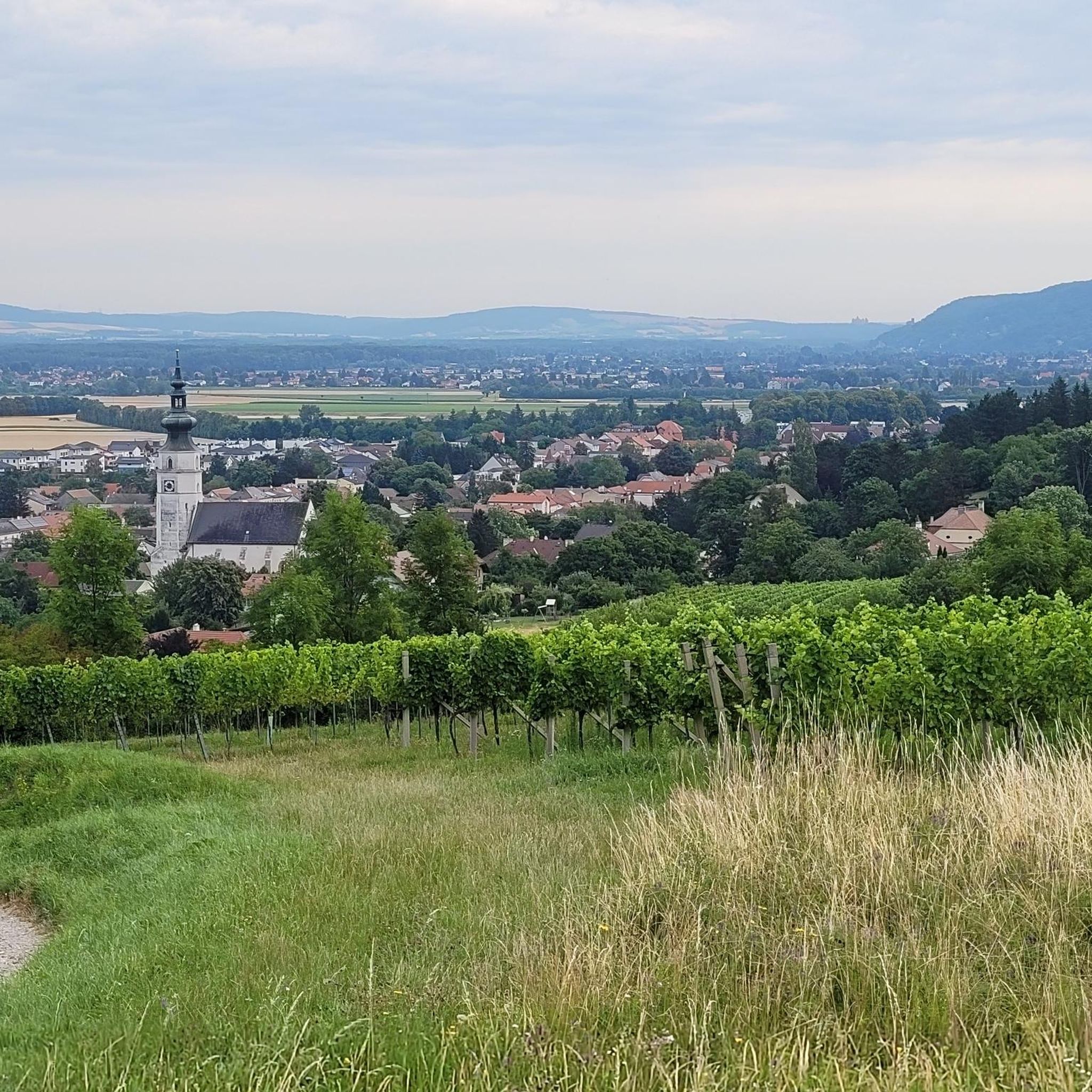
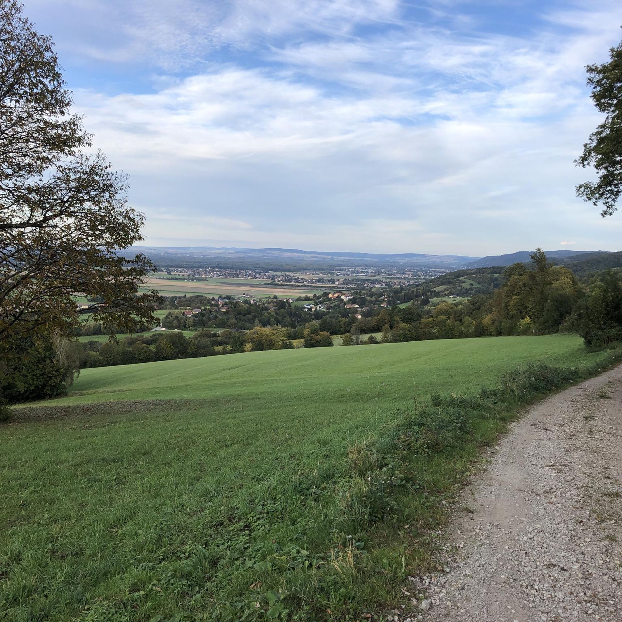
さらに下には、Tulbingerkogel MTBコースとHängender Stein MTBコースが通り過ぎます。必ずここに400m登って、景色を楽しんでください!
0
0
非常に美しい森の小道で、グローセ・テュルナーフェルト周回ハイキングコース475がそこを通っています。
0
0

立ち寄り必須です。とてもフレンドリーなサービス。 またいつでも喜んで来ます!
3
0

Unfortunately privately owned and only visible from the outside
1
0

Flat path with a road crossing in the middle. The northern section can be very muddy when wet.
3
0
From the very bottom of Königstetten and further up to the Tulbinger Kogel, the total elevation gain is 320 meters. Perfect for mountain running training!
1
0
An easy trail leading from the south toward the Edelweiss Trail. Shortly before the road, you can also turn right directly to the trail, but it's a bit rough at the moment. Near the road, you can also take the forest path to Königstetten on the left.
1
0
After a beautiful ravine, the trail soon becomes unusually wild: narrow ridges, deep ditches, exposed paths, and short rooty sections. A real treat for technically experienced trail runners.
3
0

komootモバイルアプリでインスピレーションを得よう


さらに探索
他の地域の最高のランニングトレイル & ルートを見てみましょう。
