ユングホルツのおすすめランニングルート
4.5
(13)
235
ランナー
12
ランニング
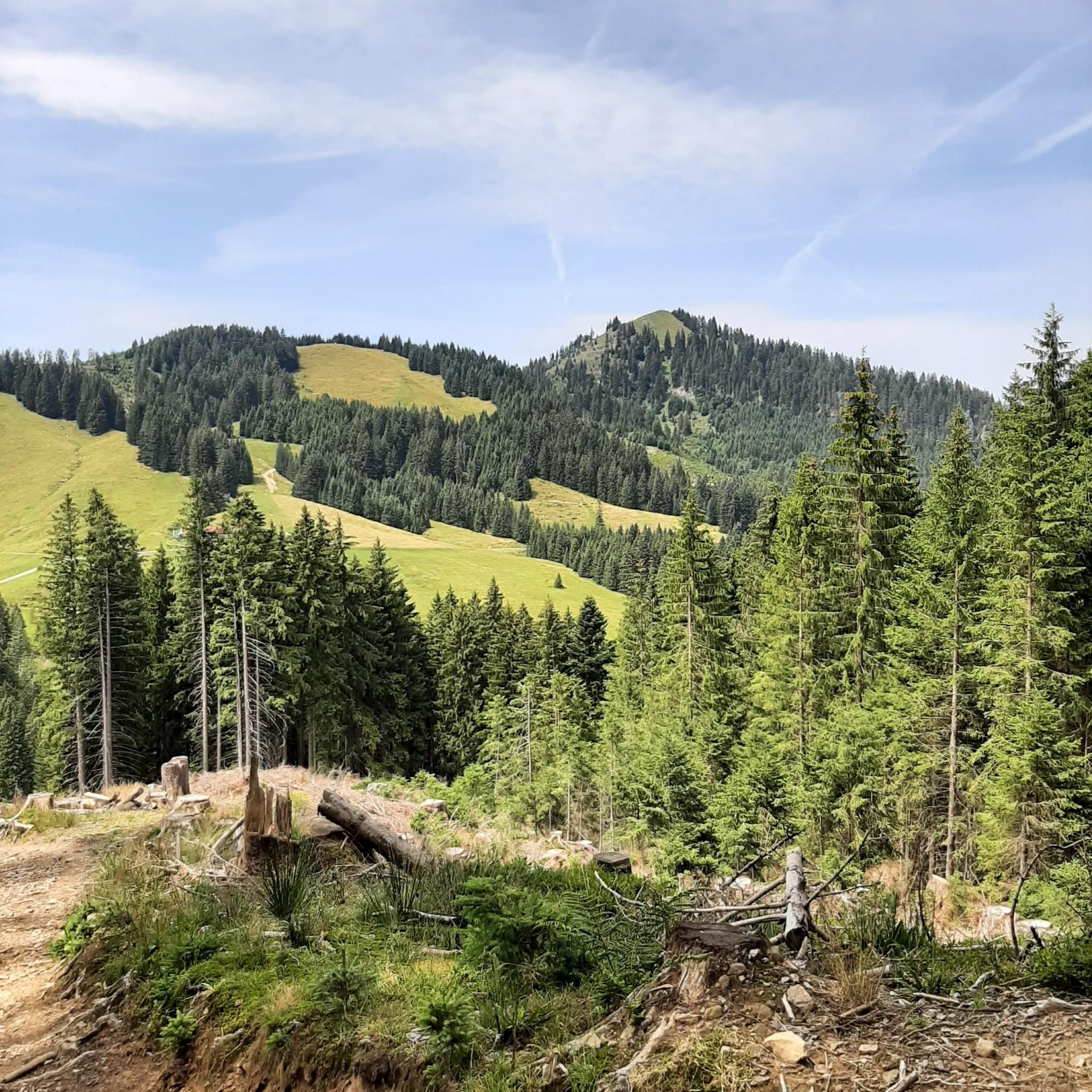
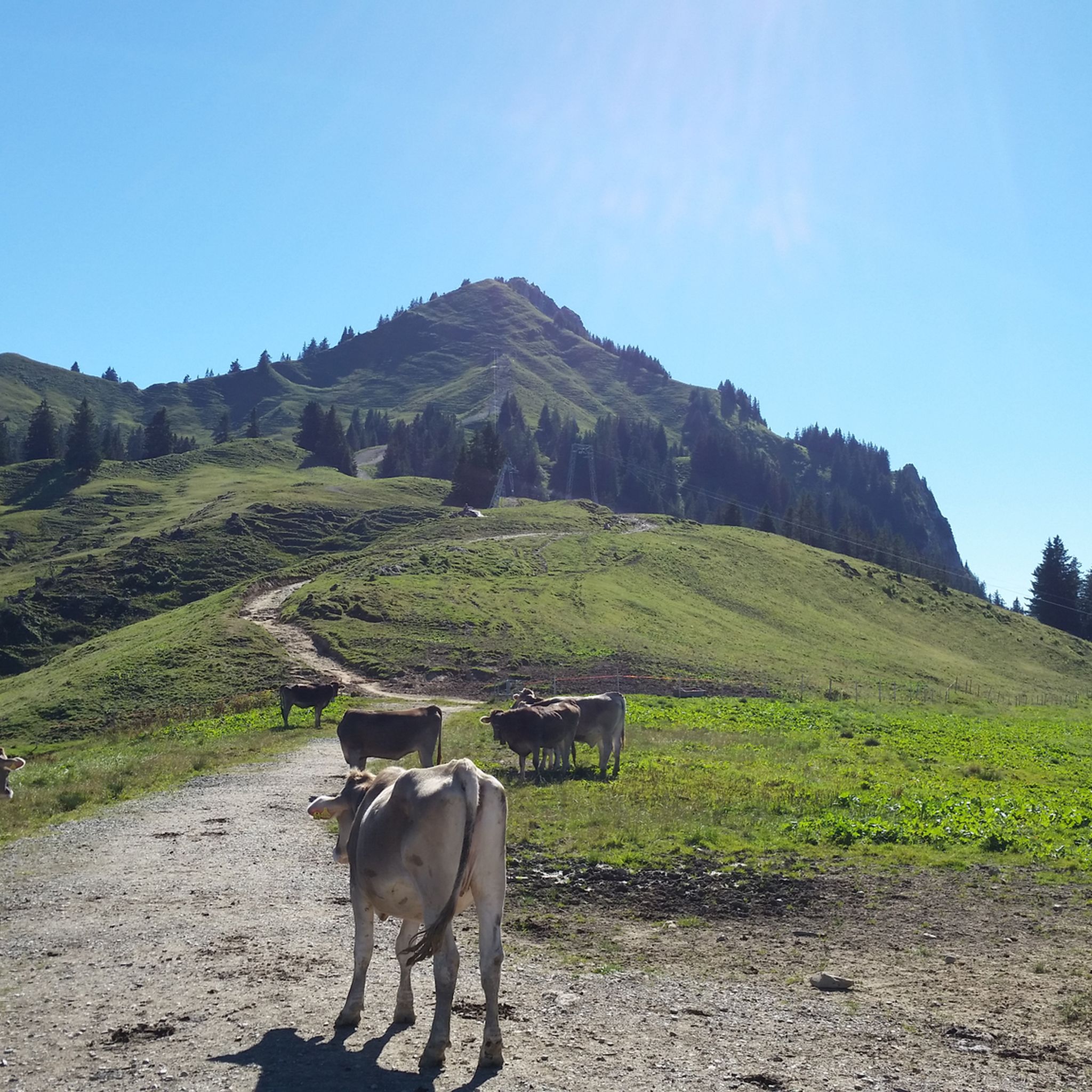
ユングホルツ周辺でのジョギングは、山岳地帯、高山帯の草原、混交林を特徴とする多様な景観を提供します。高山の側面に位置するこの地域は、起伏のある草原からより挑戦的な山の道まで、ランニングに適した変化に富んだ地形を提供します。このユニークなオーストリアの飛び地は、澄んだ山の空気と広範囲にわたる整備されたトレイルネットワークで知られており、ランニング愛好家にとって最適です。この地域は、絵のように美しいアルゴイ山脈とタンハイマー山脈に囲まれており、標高1,638メートルのゾルクシュローフェン山が際立った特徴となっています。
ユングホルツ周辺の最高のジョギングルート
- 最も人気のあるジョギングルートは、タンハイマー山脈の眺めを望むフィルス橋ループで、ユングホルツ発の9.6マイル(15.4 km)のトレイルで、所要時間は1時間47分です。この難易度の高いルートからは、タンハイマー山脈の広大な景色が楽しめます。このルートはユングホルツ発フィルス橋~タンハイマー山脈の眺めループです。
- 地元ランナーに人気のもう一つのルートは、ユングホルツ発パノラマトレイルユングホルツループで、適度な難易度の4.2マイル(6.7 km)のコースです。このルートからは、ユングホルツの景観の美しい眺めが楽しめます。このルートはユングホルツ発パノラマトレイルユングホルツループです。
- 地元ランナーに人気のユングホルツリッジトレイル~ヘーエンヴェク池ループは、ユングホルツ発の2.4マイル(3.9 km)のトレイルで、変化に富んだ地形を通り抜け、所要時間は約26分です。
- ユングホルツ周辺のジョギングは、山岳地帯、高山帯の草原、混交林が特徴です。広範囲にわたるルートネットワークは、簡単なループから厳しい山岳ランニングまで、様々なレベルのランナーに対応するオプションを提供します。
- ユングホルツのルートは、komootコミュニティから高く評価されており、5件以上のレビューで平均4.6つ星を獲得しています。150人以上のランナーがkomootを利用して、ユングホルツの多様な地形を探索しています。
最終更新日: 10月 13, 2026
5.0
(1)
28
ランナー
15.7km
01:49
450m
450m
難しいジョギング. 標準以上のフィットネスレベルが必要です。 全般的に舗装された状態です。あらゆるスキルレベルに適しています。
4.0
(1)
19
ランナー
6.79km
00:47
210m
210m
中程度のジョギング. ある程度のフィットネスレベルが必要です。 全般的に舗装された状態です。あらゆるスキルレベルに適しています。

20
ランナー
10.9km
01:30
580m
570m
難しいジョギング. 標準以上のフィットネスレベルが必要です。 全般的に舗装された状態です。あらゆるスキルレベルに適しています。
14
ランナー
16.6km
02:35
960m
960m
難しいジョギング. 標準以上のフィットネスレベルが必要です。 安定して歩行できる技術、丈夫な靴、高標高地での登山経験が必要です。
5.0
(1)
6
ランナー
10.3km
01:11
310m
310m
難しいジョギング. 標準以上のフィットネスレベルが必要です。 全般的に舗装された状態です。あらゆるスキルレベルに適しています。
さらに多くのルートや他のユーザーのおすすめ情報を確認できます。
すでにアカウントをお持ちですか?
おすすめのツアーは他のkomootユーザーが実際に経験した何千ものアクティビティに基づいています。
無料アカウントで今日から始めよう
次の冒険が待っています。
ユングホルツ周辺で人気
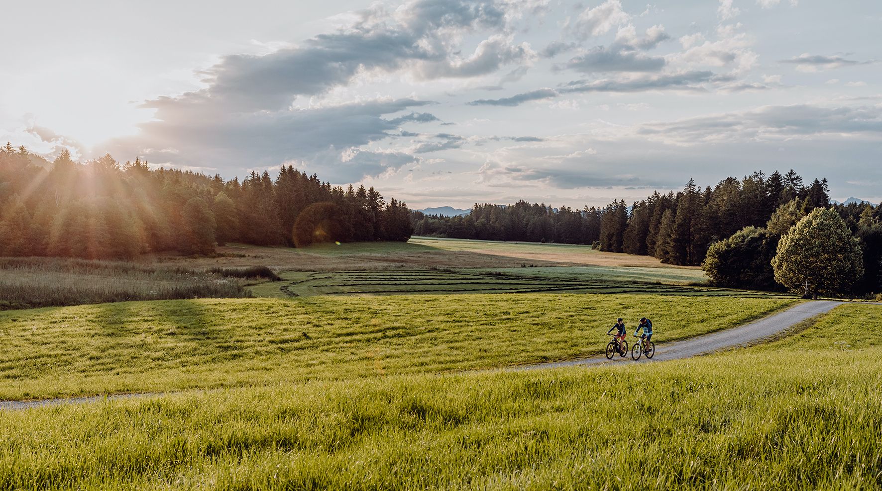
Allgäu Cycle Route — ドイツ南部&Tyrolを発見
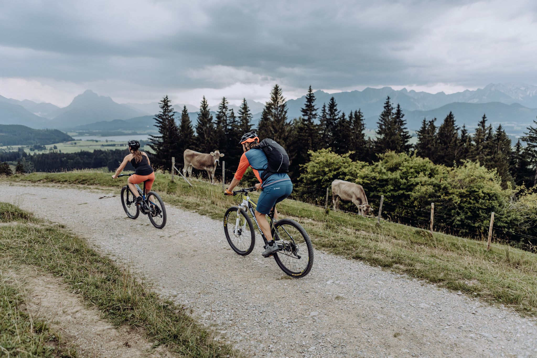
Allgäu Alps を横断して Tyrol へ – Naturbiken MTB ルート
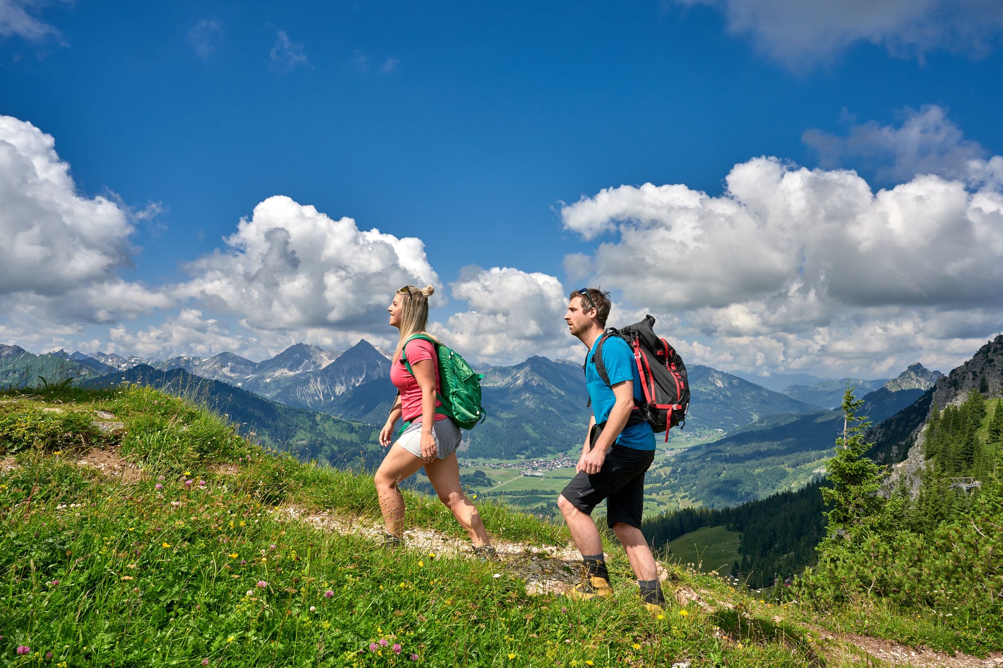
Beautiful alpine hikes with mountain huts in Austria’s Tannheimer Tal
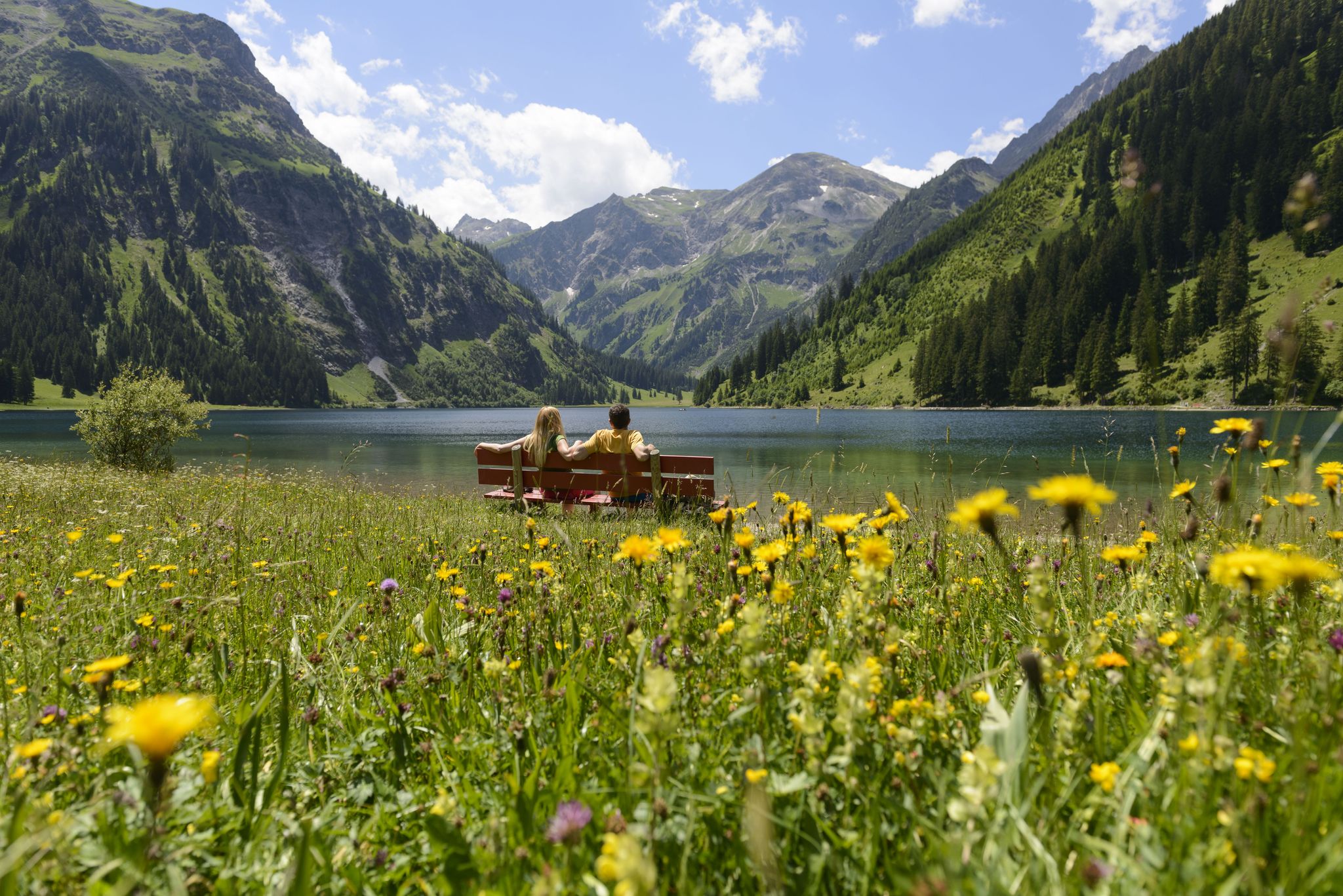
Summits, lakes & pleasure — Hiking in the Tannheimer Valley
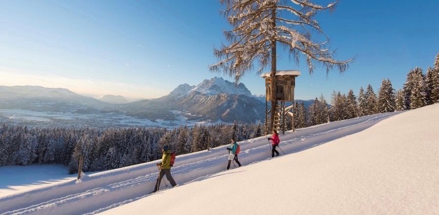
Winter wonderland — hiking in the Tyrolean Alps
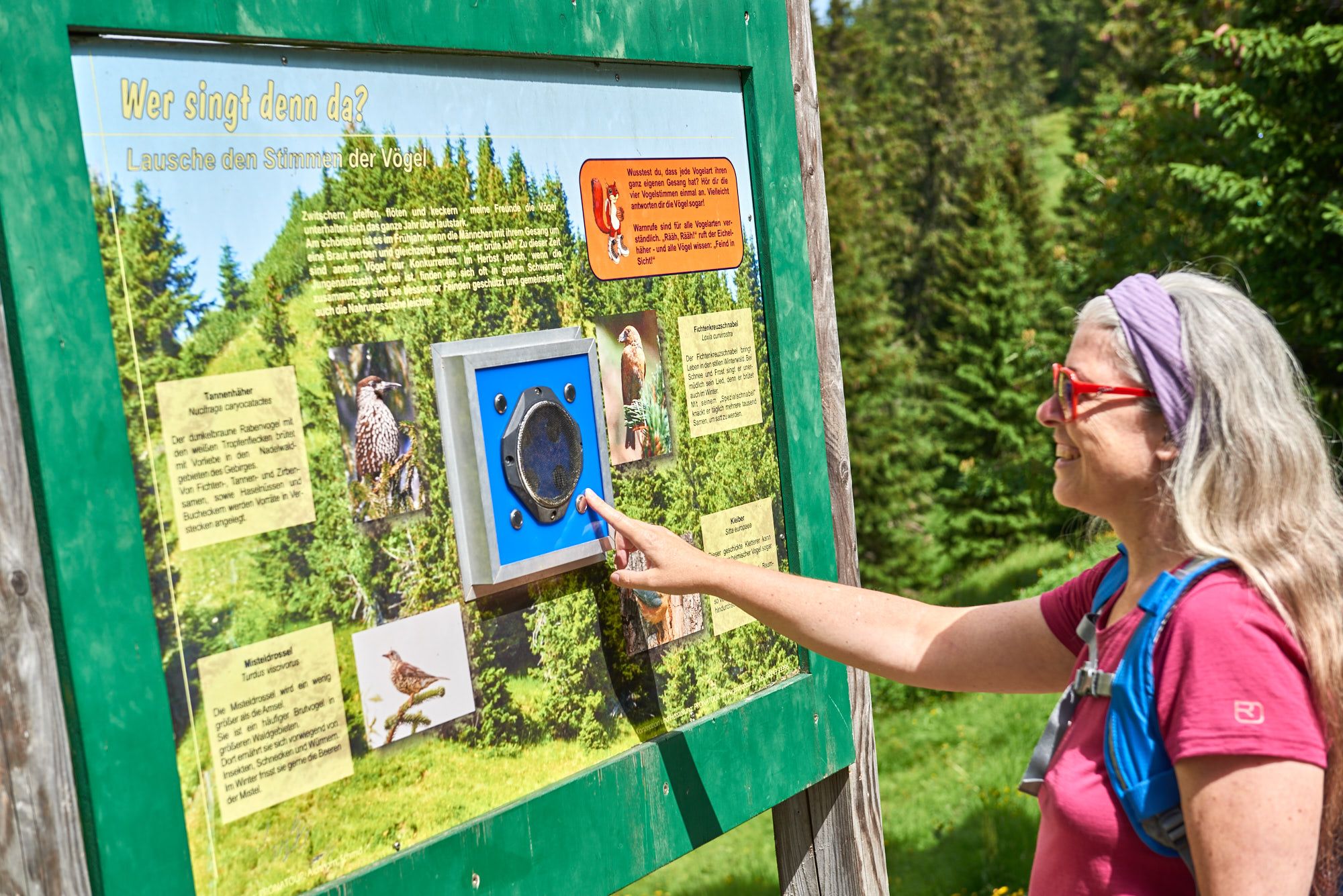
Wissenswertes über die Natur bis zur Geschichte – Themenwege im Tannheimer Tal
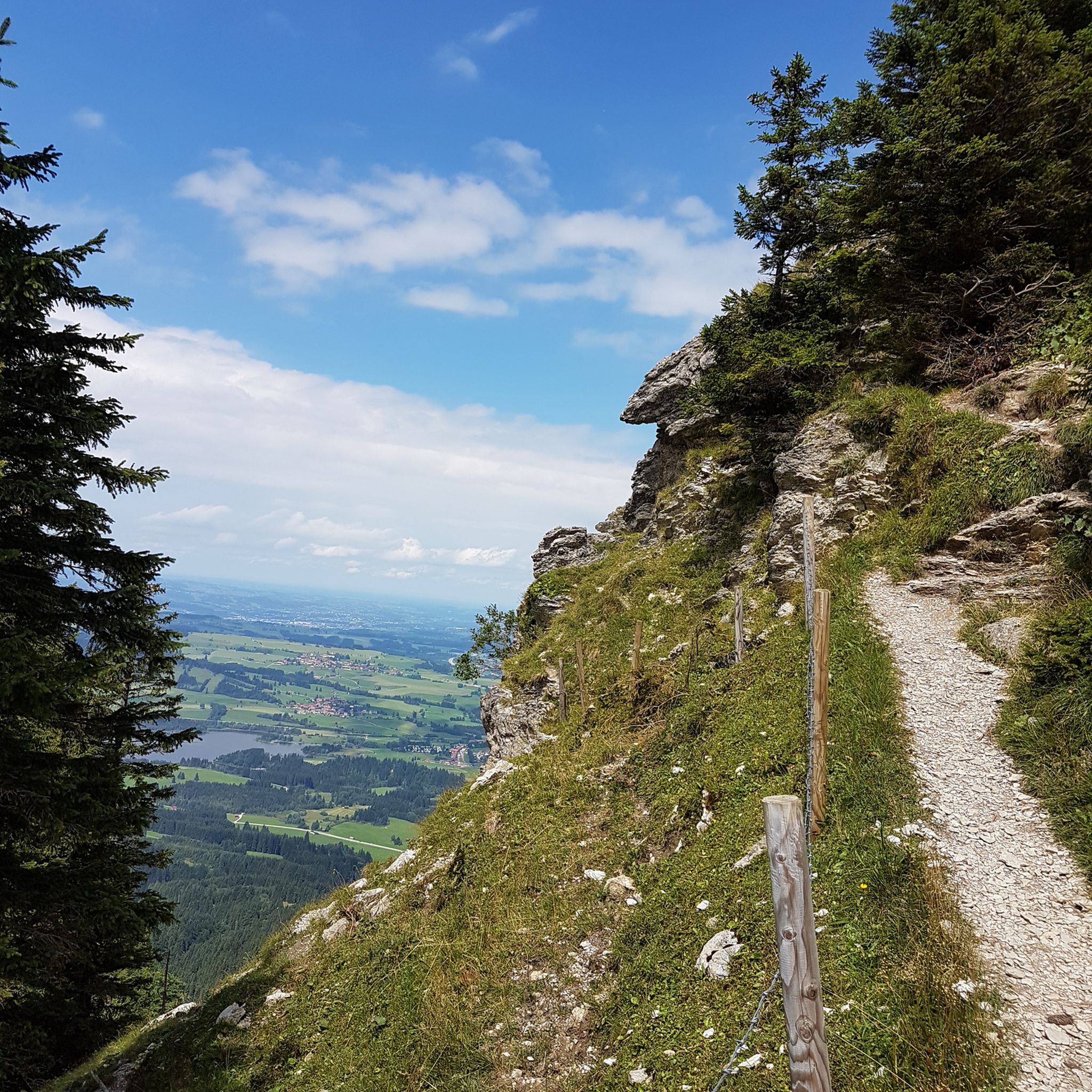
ユングホルツでのハイキング
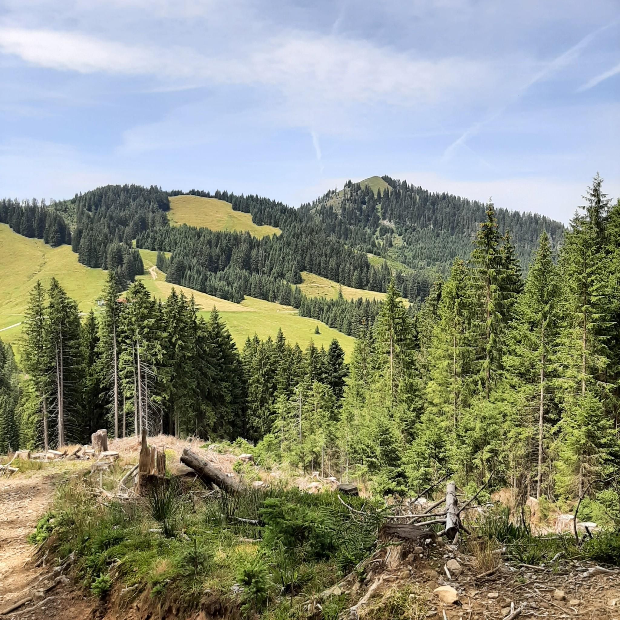
ユングホルツでのサイクリング
ユングホルツのロードバイクルート
ユングホルツのMTBトレイル


コミュニティからのヒント

道はとてもきれいですが、夏にとても暑いときは歩くのが不可能で、なぜハイキングコースが舗装されなければならないのですか
0
0


非常にやりがいのある周回ハイキングで、ジュンクホルツ全体を見渡せます。散策は、ジュンクホルツの教区教会の近くにある戦没者記念碑から始まり、「シュニッツァーヴェーク」に沿ってラングンシュヴァント地区まで続きます。
12
0


(有料)道路を通って自転車でアクセスするのは良いです。食べ物はとても美味しいです
0
0

"Jungholz steht Kopf" is a fascinating work of art.
0
0
"Fountain 80" is a small, quiet place that invites you to linger.
0
0

komootモバイルアプリでインスピレーションを得よう


さらに探索
他の地域の最高のランニングトレイル & ルートを見てみましょう。
