ディップトフォードのおすすめツーリングルート
4.3
(127)
1,594
ライダー
231
ライド
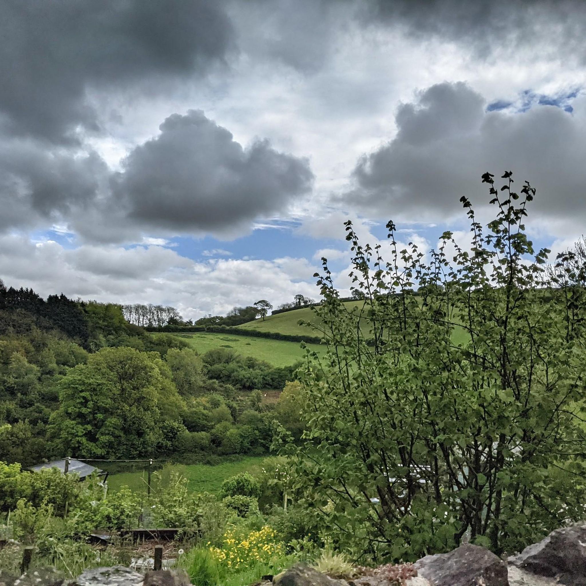
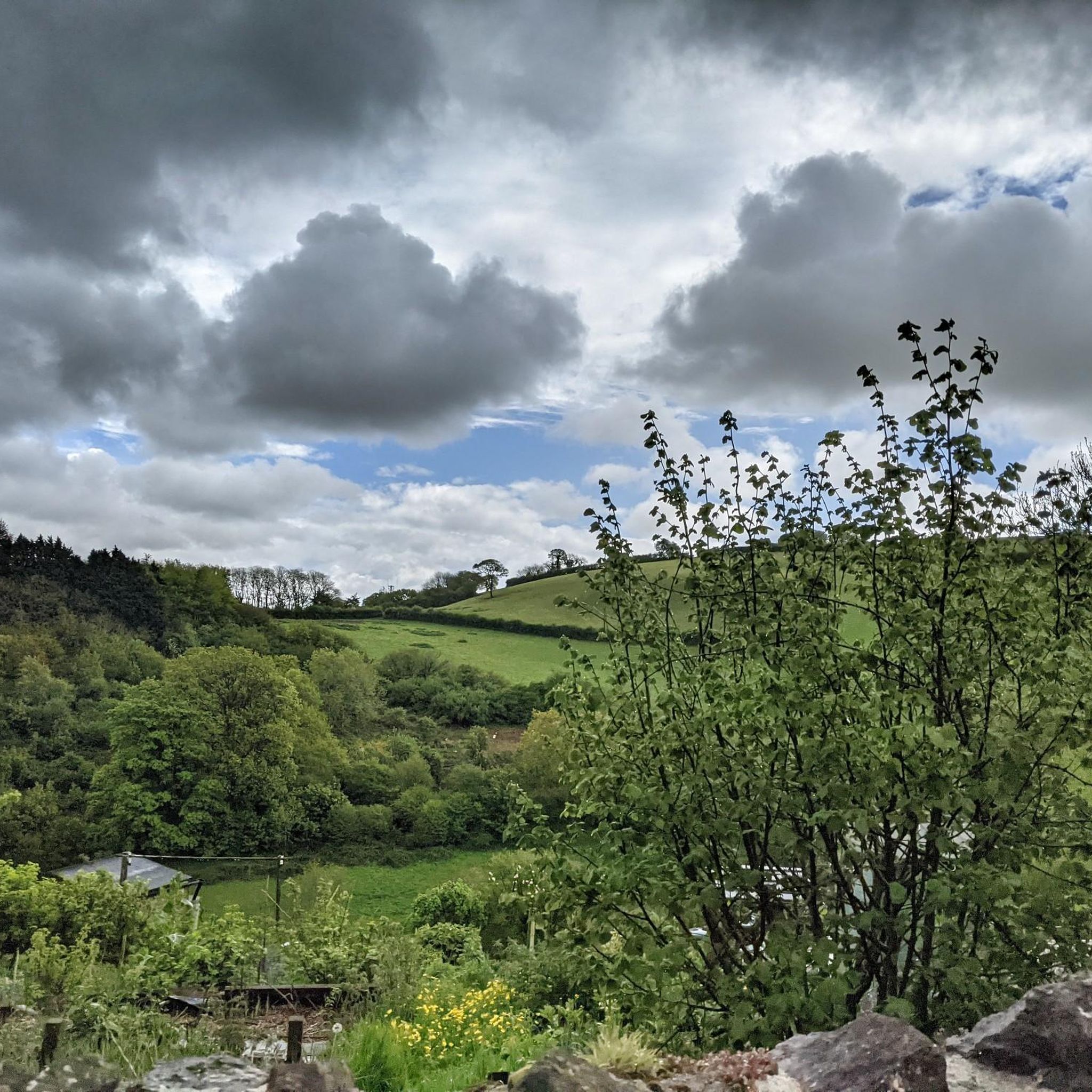
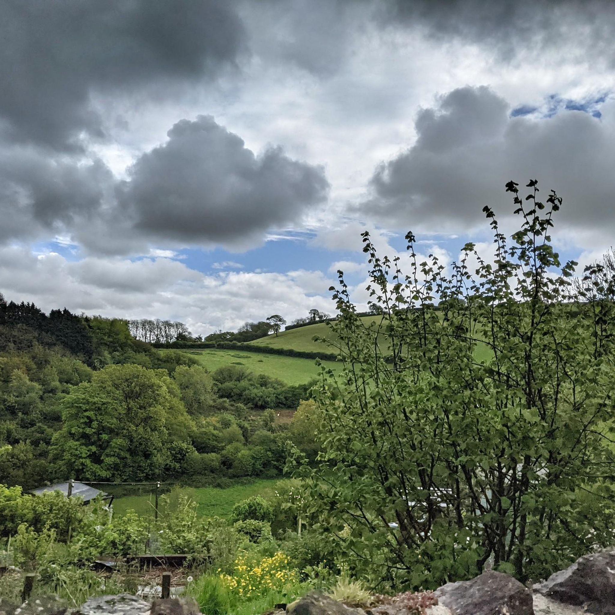
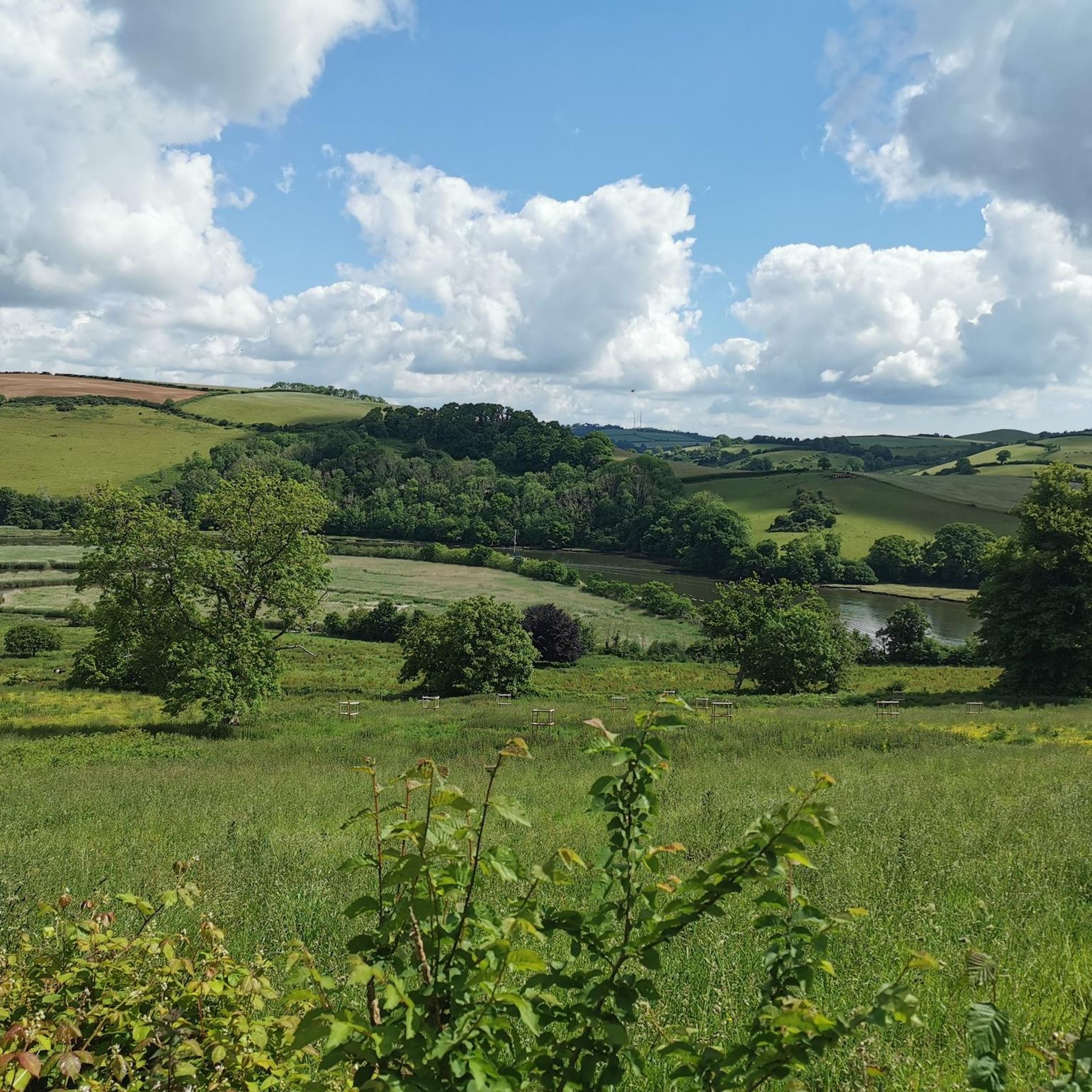
Diptford周辺のサイクリングツアーは、デヴォン州サウスハムズ地区に位置し、なだらかな丘陵地帯と静かな田舎道が特徴的な景観です。この地域には、森林、開けた野原、そしてエイボン川の眺めがあります。サウスデヴォン地域並外れた自然美地域内にあり、サイクリストに多様な景観を提供します。
Diptford周辺の最適なサイクリングツアーコース
- 最も人気のあるサイクリングツアーコースは、所要時間2時間24分、距離22.4マイル(36.1 km)のSt Peter's Church, Ugborough – North Huish発 Station Houseループです。このコースは、地域の静かな田舎道を進み、周囲の田園風景の眺めを楽しめます。
- 地元のサイクリストに人気のもう一つのコースは、高低差が大きく、様々な地形が楽しめる難易度の高い22.6マイル(36.4 km)のStation House – North Huish発 Dart川の眺めが見えるベンチ付きループです。
- 地元のサイクリストに愛されているのは、なだらかな丘陵地帯と田舎の村々を巡る18.4マイル(29.6 km)のSt Peter's Church, Ugborough – North Huish発 Modbury Innループで、所要時間は約1時間57分です。
- Diptford周辺のサイクリングツアーは、静かな田舎道、なだらかな丘陵地帯、そしてエイボン川の眺めが特徴です。このネットワークは、中程度から高難易度まで、様々なレベルのサイクリストに対応するオプションを提供しています。
- Diptfordのコースは、114件以上のレビューから平均4.36つ星という高評価をkomootコミュニティから得ています。1600人以上のサイクリストがkomootを利用して、Diptfordの多様な地形を探索しています。
最終更新日: 8月 20, 2026
3.0
(2)
12
ライダー
35.6km
02:18
470m
470m
難しい自転車ライド. 標準以上のフィットネスレベルが必要です。 全般的に舗装された状態です。あらゆるスキルレベルに適しています。
3
ライダー
29.2km
01:56
400m
400m
中程度の自転車ライド. ある程度のフィットネスレベルが必要です。 全般的に舗装された状態です。あらゆるスキルレベルに適しています。

無料新規登録
4
ライダー
21.3km
01:30
370m
370m
中程度の自転車ライド. ある程度のフィットネスレベルが必要です。 全般的に舗装された状態です。あらゆるスキルレベルに適しています。
3.0
(1)
5
ライダー
37.0km
02:31
570m
570m
難しい自転車ライド. 標準以上のフィットネスレベルが必要です。 全般的に舗装された状態です。あらゆるスキルレベルに適しています。
3
ライダー
11.7km
00:48
190m
190m
中程度の自転車ライド. ある程度のフィットネスレベルが必要です。 全般的に舗装された状態です。あらゆるスキルレベルに適しています。
さらに多くのルートや他のユーザーのおすすめ情報を確認できます。
無料新規登録
すでにアカウントをお持ちですか?
おすすめのツアーは他のkomootユーザーが実際に経験した何千ものアクティビティに基づいています。
無料アカウントで今日から始めよう
次の冒険が待っています。
ログインまたは登録
コミュニティからのヒント

luckily there's a footbridge too for those who don't want to get their feet or electric motor wet.
0
0

Gorgeous elevated country lane with fabulous views over the countryside surrounding Totnes.
2
0

Good coffee, friendly staff and good outdoor seating - popular with cyclists passing through Totnes
1
0
The earliest record of Diptford, mentioned as Bickham, appears in a Charter by King Aethelwulf in AD 847. By 962 AD, it was known as "Beoccan bricge" in King Edgar's charter. Diptford appears in the Domesday Book of 1086 as a small settlement, giving its name to the "Hundred of Diptford," an administrative area in Devon. The village's name derives from the 'deep ford' on the River Avon. A church was built in 1226, expanded in the 15th century. Diptford's school opened in 1845 and became an academy in 2016. Despite limited expansion, Diptford remains a busy and popular village.
0
0
The monument includes a free-standing stone cross situated in the angle of the junction of two roads; to Luscombe and Harberton. It stands on partly grassed open ground, probably in its original position and may date from the 15th century. The cross is Listed Grade II. The cross comprises a heavy octagonal base of granite, surmounted by a granite shaft whose upper half was replaced in 1895. The base, which is 0.75m high, is partly buried in the turf which is raised here in a low mound. It measures 1.13m across its flat sides, and has a heavily chamfered upper part, below a rough roll moulding. Above this, the top is slightly convex with the shaft socketed in and set with lead. The shaft, of rectangular section, has oblique chamfers on all four corners, with pyramid stops to the base. The medieval shaft survives to 0.85m high and tapers in width from 0.27m at the base to 0.32m at its top and in thickness from 0.26m to 0.23m. Heavy directional letters have been dressed onto all four flat sides: T - Totnes (north side), D - Dartmouth (east), K - Kingsbridge (south), and B - Brent (west). Beneath these some smaller letters, probably initials, are crudely incised. In 1895, a new upper shaft and Celtic wheel head, 1.2m higher than the original cross, was added with additional Roman numerals for the distances involved. These do not match up, and it is obvious that the cross head was put on the wrong way round. The original head could have been lost during the Reformation in the 16th century. The letters are typical of granite direction posts of the 17th century in this area. The modern road surface is excluded from the scheduling where it falls within the 2m protective margin of the cross, although the ground beneath it is included.
0
0

ディップトフォードでのの人気観光スポット

komootモバイルアプリでインスピレーションを得よう


さらに探索
他の地域の最高のサイクリングルートを見てみましょう。
