チャードストック周辺のアトラクション&必見スポット - トップ20
チャードストックには必見のスポットがたくさんあります。ハイキング愛好家やサイクリング愛好家の方は、ぜひチャードストックを探索してこのエリアにある20
の隠れたスポットを訪れてみてください。このエリアの必見スポットを確認し、次の冒険に出かける計画を立てましょう。
最終更新日: 10月 11, 2026
ピルズドン・ペン山頂と三角点
ハイライト • 自然記念物
役立つ情報 は

キャッスル・ネローチ鉄器時代の丘の砦
ハイライト • 城
役立つ情報 は

今すぐサインアップして、こんな場所を発見しよう
最高のシングルトラック、ピーク、その他のエキサイティングなアウトドアスポットのおすすめを受け取ろう。
Donyatt Halt
ハイライト • 構造物
役立つ情報 は

ブラック・ヴェンの断崖と化石の浜辺
ハイライト (セグメント) • 自然記念物
役立つ情報 は

フォード・アビーと庭園
ハイライト • 記念碑
役立つ情報 は

無料でサインアップして、さらに多くの観光スポットを発見しましょう チャードストックでの。
すでにアカウントをお持ちですか?
無料アカウントで今日から始めよう
次の冒険が待っています。
コミュニティからのヒント

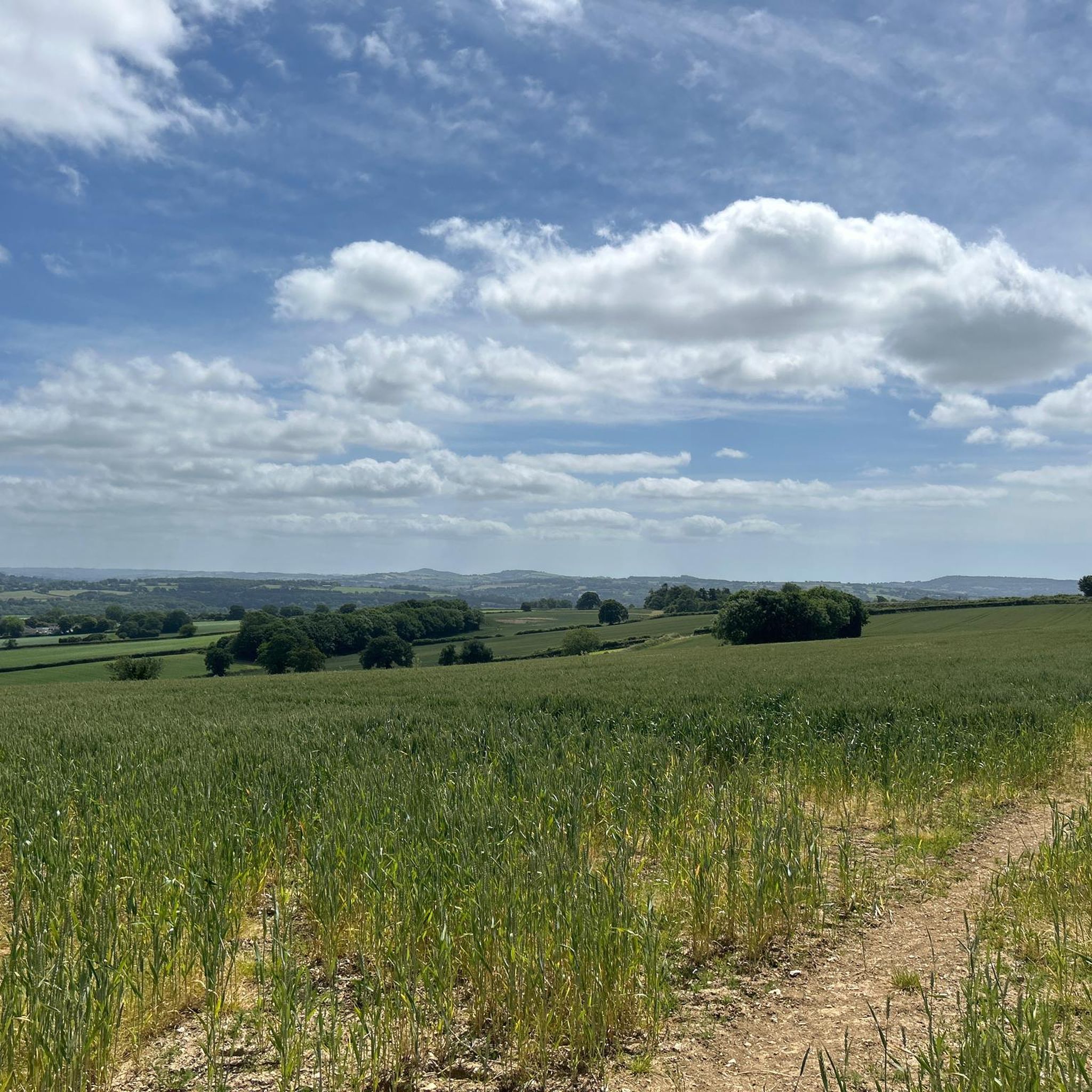
Pilsdon Pen山頂の三角測量地点からは、ドーセットの壮大で広々とした景色が楽しめます。南を見ると、目はMarshwood Valeの緑豊かな農地と起伏のある丘を滑り、Bridportとジュラ紀海岸のドラマチックな崖までずっと広がっています。
0
0

Donyatt Halt Records for Donyatt Halt state: "This halt, opened on May 5th, 1928, has a single platform edged with wooden sleepers, and a small wooden shelter. A pathway leads up from the platform to the road, which crosses the line by an overbridge at the Ilminster end of the platform. An ornate oil lamp stands at the top of the path and there are various posts with brackets for hanging oil lamps in winter." It would be the guard's duty to light and extinguish these lamps. Five trains a day operated in each direction taking about 45 minutes for the 15 - mile journey from Taunton to Chard, having made stops at Thornfalcon, Hatch, Ilton, Ilminster and Donyatt. Donyatt.com
0
0
The Black Ven has been historically renowned for paleontology. Mary Anning found an ichthyosaurus in The Spittles, and James Harrison found the first fossil remains of a Scelidosaurus while quarrying Black Ven in 1858. In 2001, the Black Ven and the whole of Lyme Bay became part of the Jurassic Coast World Heritage Site. Black Ven has the largest mudslides in Europe,[3] and this constantly brings new material (such as fossils) to the base of the cliff and beach. The reason for this is the types of stone found through the cliff. There is porous limestone, which lets the water on rough days flow through it, below which you will find clay, which lets water in, but not out. When the clay becomes saturated, it becomes very slippery and the limestone above can slide off in large chunks. Black Ven for this reason is a famous fossil hunting location, although the mudslides can be surprisingly damaging to the fossils, especially to soft parts such as scales. The Black Ven has a layer called Blue Lias where famous fossilised fish are known to be found. The geological dating of the rocks of the whole of the area (Lyme Bay) is Jurassic. The Black Ven and the Spittles contain rocks from the lower (early) Jurassic. Ammonites, Belemnites, and the occasional Devil's toenail are common finds in this area
0
1
Norman castle The earthworks at the site are larger than would normally be found in a castle from the Norman period, raising speculation that it reused previously developed features. The castle was probably built by Robert, Count of Mortain in the 11th century. Archaeological evidence suggests it was built in several stages. During the first a rampart enclosing 7.5 acres (3.0 ha) was built. Soon after the Norman Conquest a smaller inner ringwork was constructed. The site was later converted into a motte and bailey, with a corner of the 20 feet (6.1 m) high motte serving as a barbican. By the early 12th century the castle was no longer in regular use. However, its use was resumed during The Anarchy, a period of civil war and unsettled government during a succession dispute between the supporters of King Stephen (1135–1154) and those of his cousin, the Empress Matilda. Continued use in the later 12th century may have been by administrators of the surrounding royal forest as a base for operations against poachers.
2
1
Castle Neroche is a Norman motte-and-bailey castle on the site of an earlier hill fort in the parish of Curland, near Staple Fitzpaine, Somerset, England. It is a Scheduled Ancient Monument. The origin of the term Neroche is believed to be a contraction of the Old English words nierra and rechich or rachich for Rache, a type of hunting-dog used in Britain in the Middle Ages, giving a meaning of the camp where hunting dogs were kept. This also gives the site its alternative name of Castle Rache. Iron Age The reason for the construction of Iron Age hill forts has been a subject of debate. It has been argued that they could have been military sites constructed in response to invasion from continental Europe, sites built by invaders, or a military reaction to social tensions caused by an increasing population and consequent pressure on agriculture. The dominant view since the 1960s has been that the increasing use of iron led to social changes in Britain. Deposits of iron ore were separated from the sources of tin and copper necessary to make bronze, and as a result trading patterns shifted and the old elites lost their economic and social status. Archaeologist Barry Cunliffe believes that population increase played a role and has stated "[the forts] provided defensive possibilities for the community at those times when the stress [of an increasing population] burst out into open warfare. But I wouldn't see them as having been built because there was a state of war. They would be functional as defensive strongholds when there were tensions and undoubtedly some of them were attacked and destroyed, but this was not the only, or even the most significant, factor in their construction.
2
0

The summit of this hill represents the second highest point in Dorset, and from here, you'll have breathtaking panoramic views. At the top, there was an Iron Age hillfort, which was excavated in the mid-20th century.
0
0

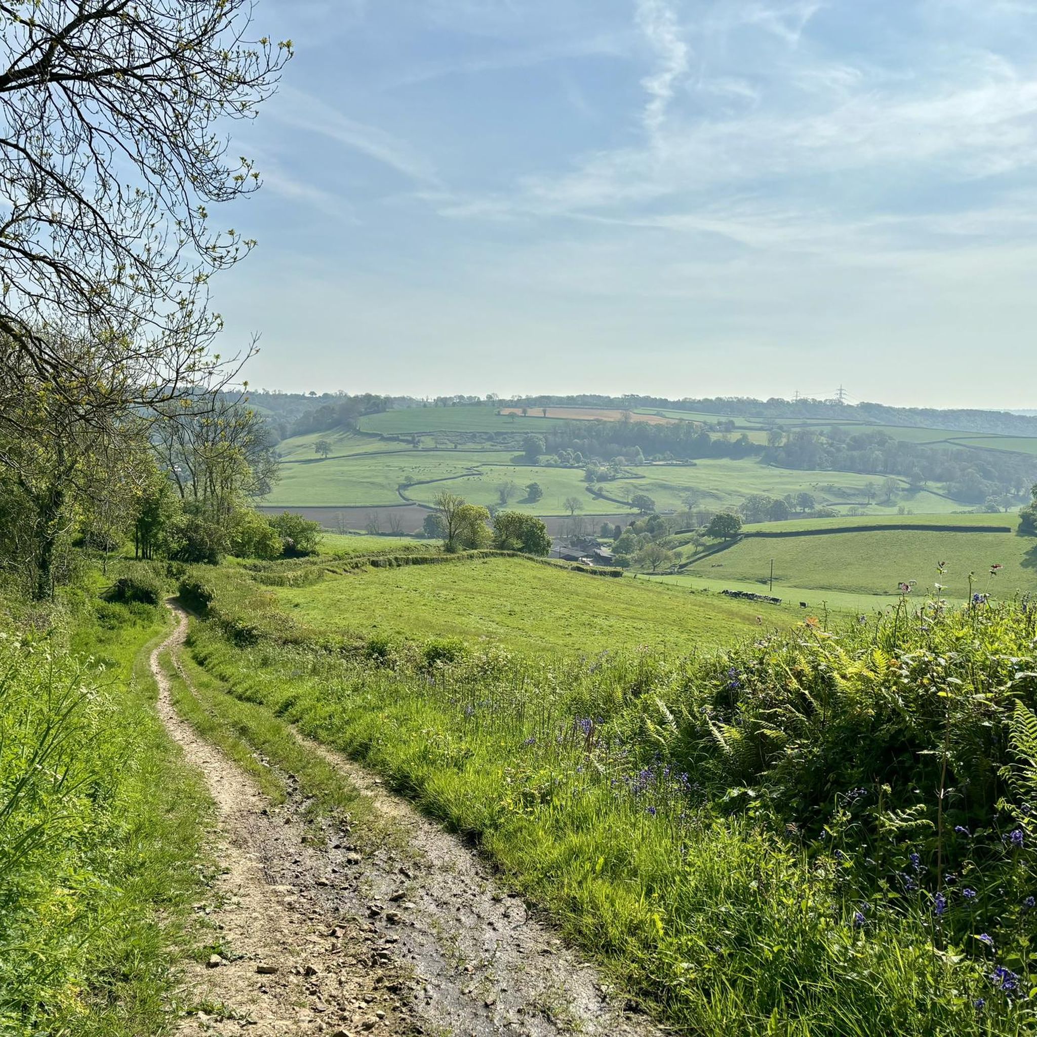
Castle Neroche was a motte-and-bailey castle on the site of an earlier hill fort. Evidence suggests that it was an Iron Age hill fort before the Norman castle was built as the earth works are larger than most Norman castles. Now it's a really fascinating place; the old earth works are covered in trees with amazing views between the trunks. Managed by Forestry England.
3
0

Nice statue of a girl waiting for the train that will never come along the well maintained gravel track but some sharp changes in direction make the run from ilminster to chard confusing if you expect to be on the old railway tracks
2
0
チャードストックでのの人気観光スポット

komootモバイルアプリでインスピレーションを得よう


さらに探索
まだ探しているハイライトが見つかりませんか?他の地域のトップアトラクションのガイドを見てみましょう:
