トルズハントダーシーのおすすめツーリングルート
4.4
(91)
724
ライダー
129
ライド
トルズハントダーシーでおすすめのサイクリングルートをお探しですか?行きたいルートを簡単に決められるように、このページではトルズハントダーシー周辺の人気バイクライドをご紹介します。 ぜひ、お気に入りのルートを見つけてください。
最終更新日: 8月 30, 2026
11
ライダー
49.5km
03:03
290m
290m
中程度の自転車ライド. ある程度のフィットネスレベルが必要です。 全般的に舗装された状態です。あらゆるスキルレベルに適しています。
5.0
(2)
7
ライダー
19.3km
01:09
120m
120m
初級者向けバイクライド. あらゆるフィットネスレベルに適しています。 全般的に舗装された状態です。あらゆるスキルレベルに適しています。

無料新規登録
3.0
(1)
5
ライダー
31.8km
01:53
140m
140m
初級者向けバイクライド. あらゆるフィットネスレベルに適しています。 全般的に舗装された状態です。あらゆるスキルレベルに適しています。
6
ライダー
33.0km
02:01
180m
180m
難しい自転車ライド. ある程度のフィットネスレベルが必要です。 ツアーの一部で自転車を押して歩く必要があるかもしれません。
3.0
(1)
4
ライダー
27.6km
01:37
110m
110m
初級者向けバイクライド. あらゆるフィットネスレベルに適しています。 全般的に舗装された状態です。あらゆるスキルレベルに適しています。
さらに多くのルートや他のユーザーのおすすめ情報を確認できます。
無料新規登録
すでにアカウントをお持ちですか?
おすすめのツアーは他のkomootユーザーが実際に経験した何千ものアクティビティに基づいています。
無料アカウントで今日から始めよう
次の冒険が待っています。
ログインまたは登録

コミュニティからのヒント


Ensure you check the local tide table as the Strood often floods at high tide.
0
0

Enjoy a peaceful ride along this quiet, flat, and well-paved scenic lane with minimal traffic. It's the perfect spot for a relaxing journey.
1
0
Such a great bike stop. Lovely bear and good bar food. Nice and peaceful setting.
0
0

The only road access to Mersea so make sure you don't spend too long on the island if the tide has started to turn or you could have a long wait to leave again.
0
0
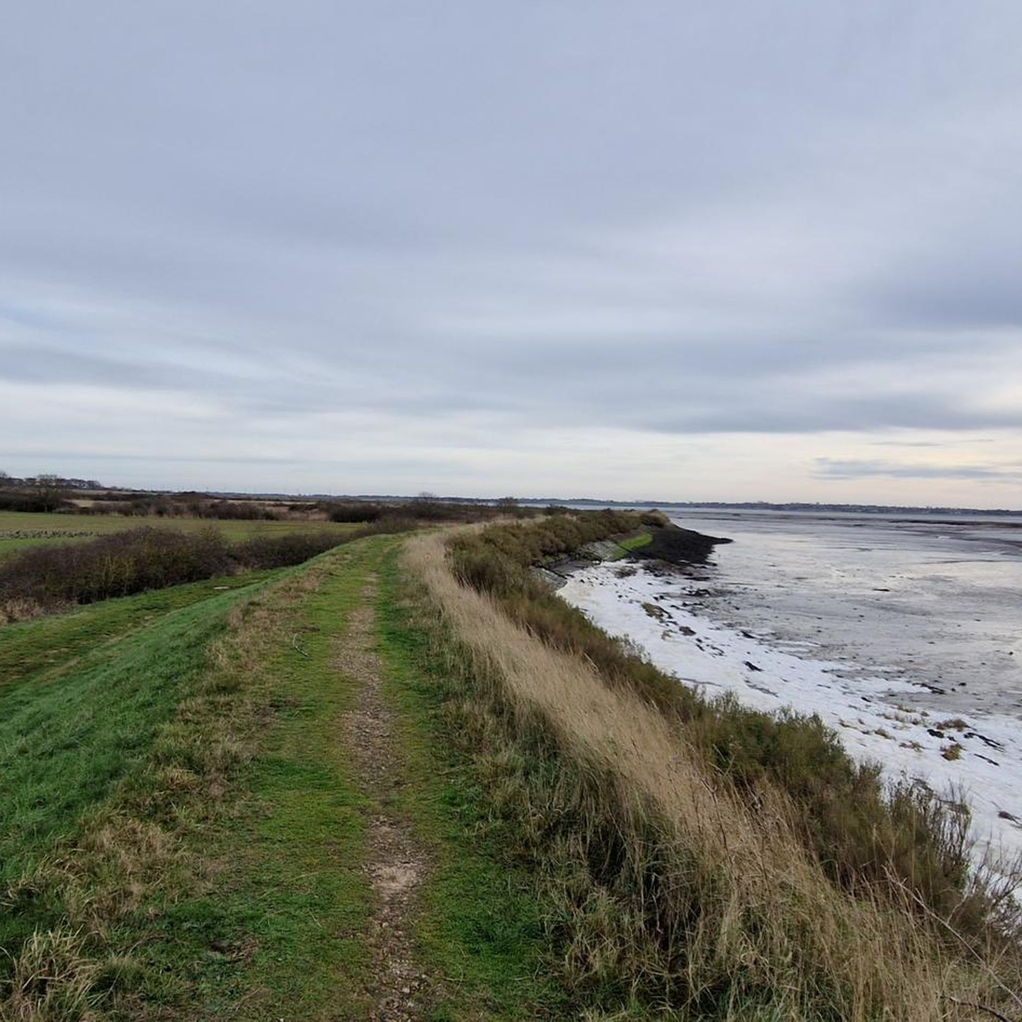
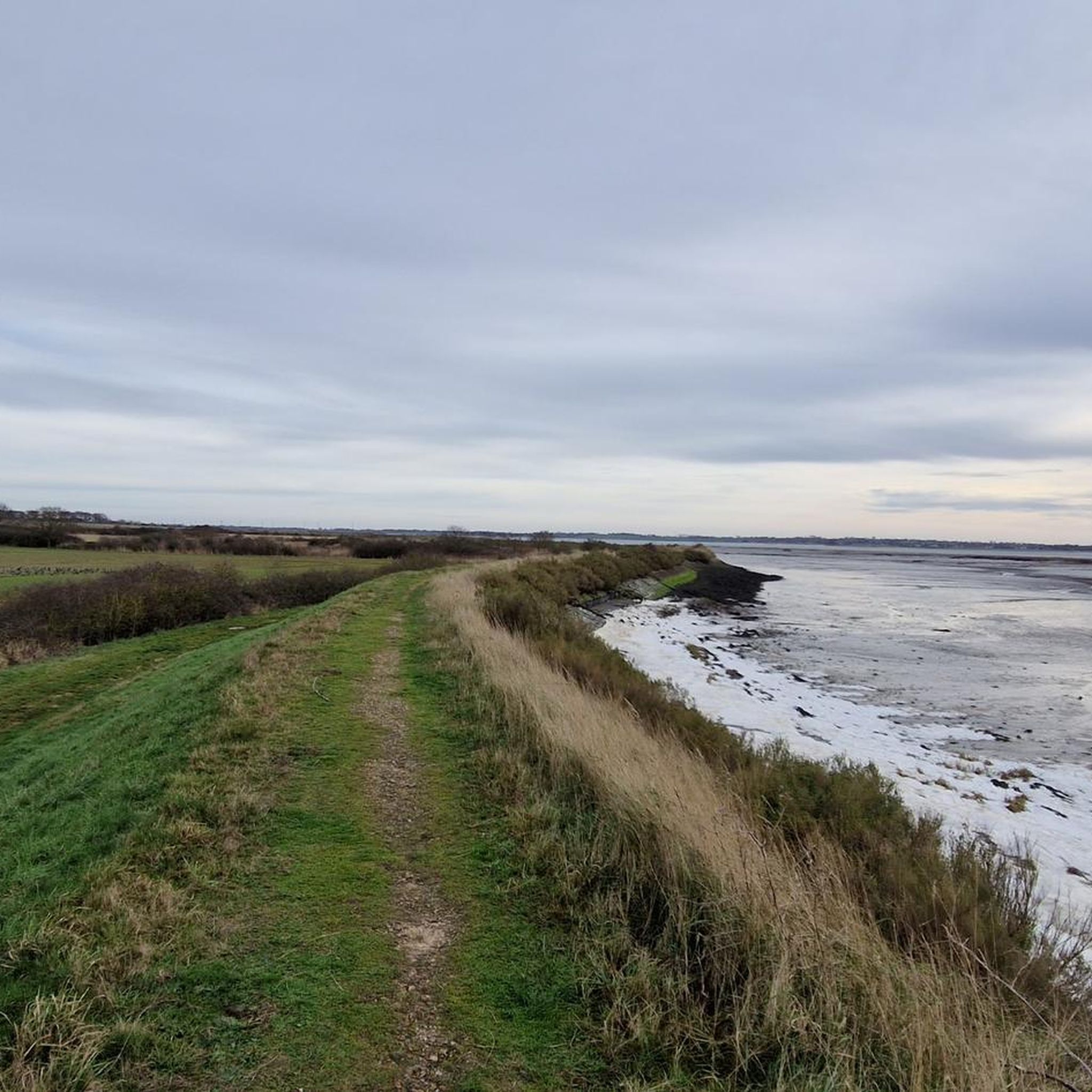
The seafront road rises up slightly to give wide views across the Blackwater estuary towards the Dengie Peninsula opposite, with the bulk of Bradwell nuclear power station looming over the far coastline.
0
0

Info from https://en.wikipedia.org/wiki/Peldon#Church St Mary's Church in Peldon generally dates back to the 11th century, with Anglo Saxon origins. The nave originates from the 12th century, the tower the 14th century, and the roof from the 16th century. The church tower leans in a southwesterly direction, sometimes supposed to have been caused by the 1884 earthquake. However, the leaning tower was reportedly already leaning when the earthquake occurred; it was noted in the 1880 novel Mehalah, a Story of the Salt Marshes by Sabine Baring-Gould, the rector of East Mersea. The leaning tower was most likely caused by subsidence due to poor ground. The church has undergone many changes throughout its existence, having been damaged during the 1884 earthquake and undergoing numerous refurbishments throughout the centuries. These refurbishments and improvements continue to this day, with charity work in Peldon taking place to raise money in order to repair and refurbish the church, a Grade I listed building.
2
0

トルズハントダーシーでのの人気観光スポット

komootモバイルアプリでインスピレーションを得よう


さらに探索
他の地域の最高のサイクリングルートを見てみましょう。
