ホレンシュタイン・アン・デア・イップスのおすすめランニングルート
4.1
(13)
600
ランナー
44
ランニング
ホレンシュタイン・アン・デア・イップスでランニングを楽しめば、このエリアをより深く知ることができます。ランニングに適した美しいルートが見つかるように、komootがホレンシュタイン・アン・デア・イップスでのルートのコレクション全体を評価して選び抜いた、人気ランニングトレイルをご紹介します。ルートをクリックして詳細を表示し、他のユーザーがアップロードした役立つ情報や写真を閲覧しましょう。
最終更新日: 10月 5, 2026
21
ランナー
14.3km
01:58
610m
610m
難しいジョギング. 標準以上のフィットネスレベルが必要です。 全般的に舗装された状態です。あらゆるスキルレベルに適しています。
18
ランナー
12.0km
01:17
170m
170m
中程度のジョギング. ある程度のフィットネスレベルが必要です。 全般的に舗装された状態です。あらゆるスキルレベルに適しています。

18
ランナー
9.60km
01:14
240m
240m
中程度のジョギング. ある程度のフィットネスレベルが必要です。 全般的に舗装された状態です。あらゆるスキルレベルに適しています。
16
ランナー
11.6km
01:20
290m
290m
中程度のジョギング. ある程度のフィットネスレベルが必要です。 全般的に舗装された状態です。あらゆるスキルレベルに適しています。
13
ランナー
5.82km
00:37
60m
60m
中程度のジョギング. ある程度のフィットネスレベルが必要です。 全般的に舗装された状態です。あらゆるスキルレベルに適しています。
さらに多くのルートや他のユーザーのおすすめ情報を確認できます。
すでにアカウントをお持ちですか?
おすすめのツアーは他のkomootユーザーが実際に経験した何千ものアクティビティに基づいています。
無料アカウントで今日から始めよう
次の冒険が待っています。
ホレンシュタイン・アン・デア・イップス周辺で人気

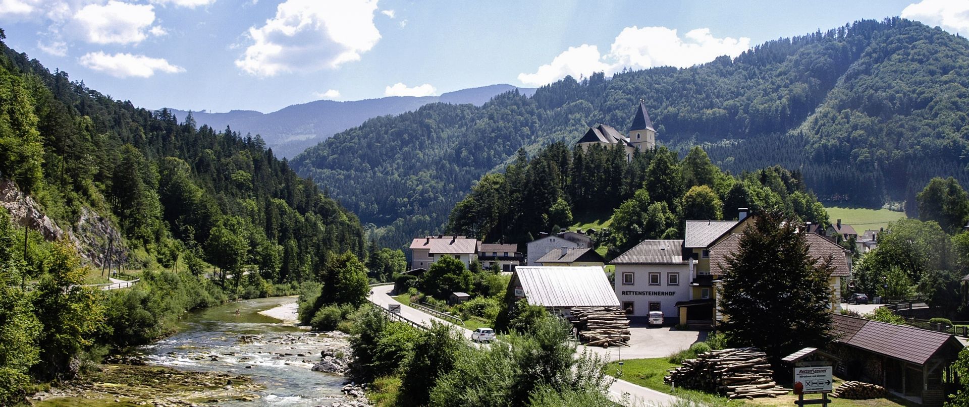
北から南へのオーストリアハイキング - アイゼンブルツェントレイル
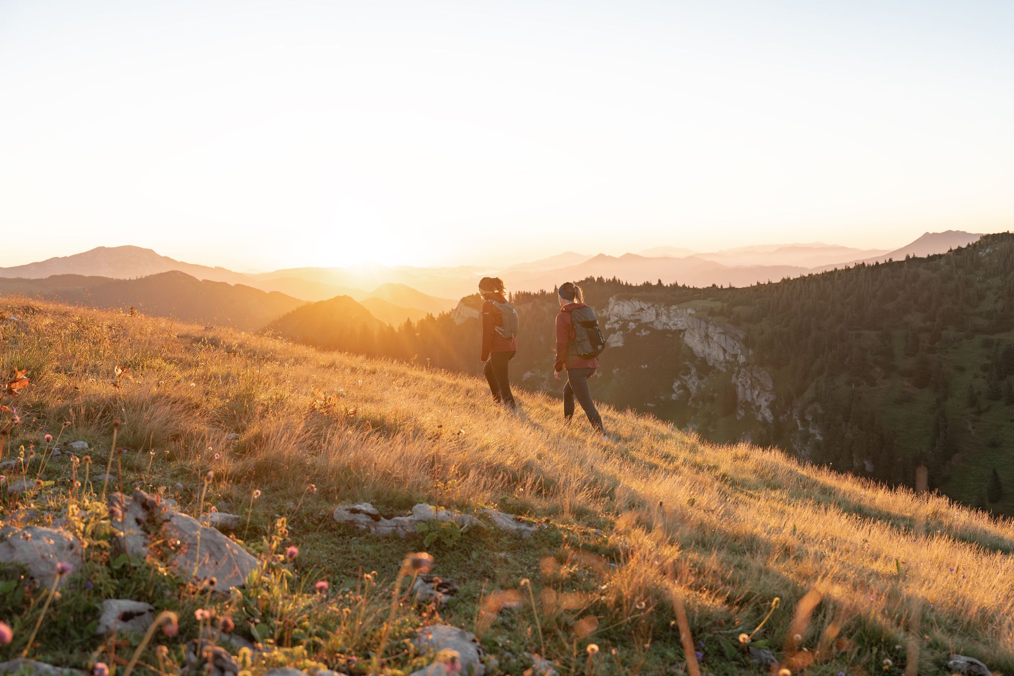
「Schafkäs-Express」の跡をたどれる - Ybbs 谷サイクリングコース
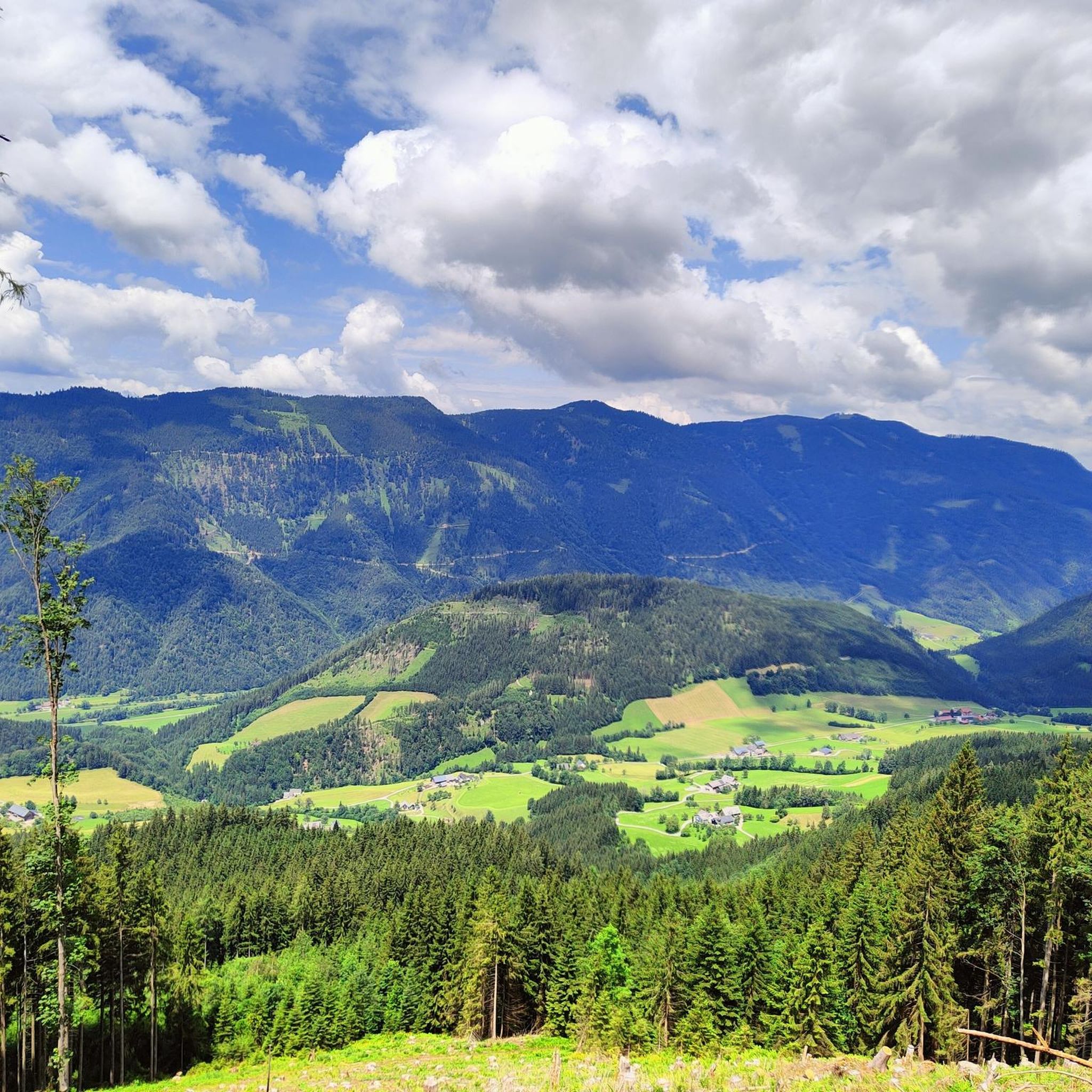
Get away from it all – experience the Mostviertel's six most beautiful hikes
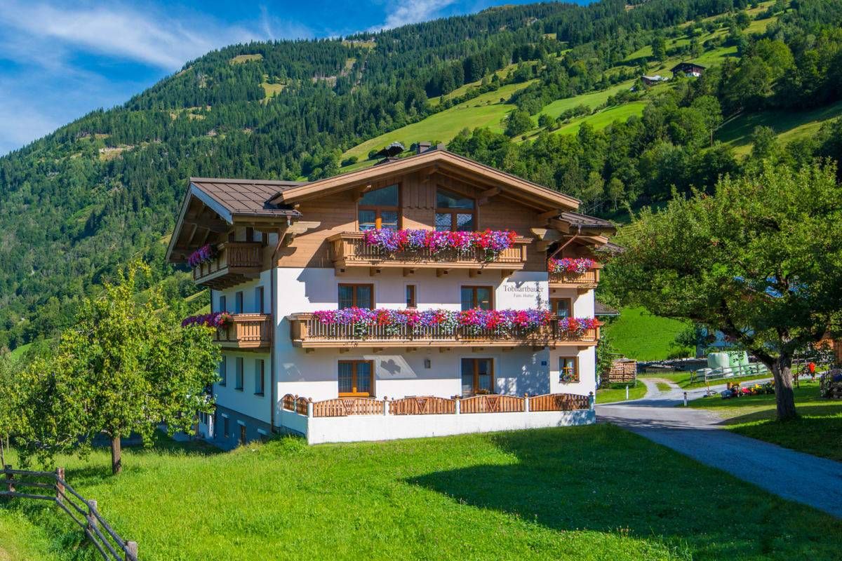
Sun, mountains, bathing fun – an active vacation on Austria's Farms
ホレンシュタイン・アン・デア・イップスのロードバイクルート
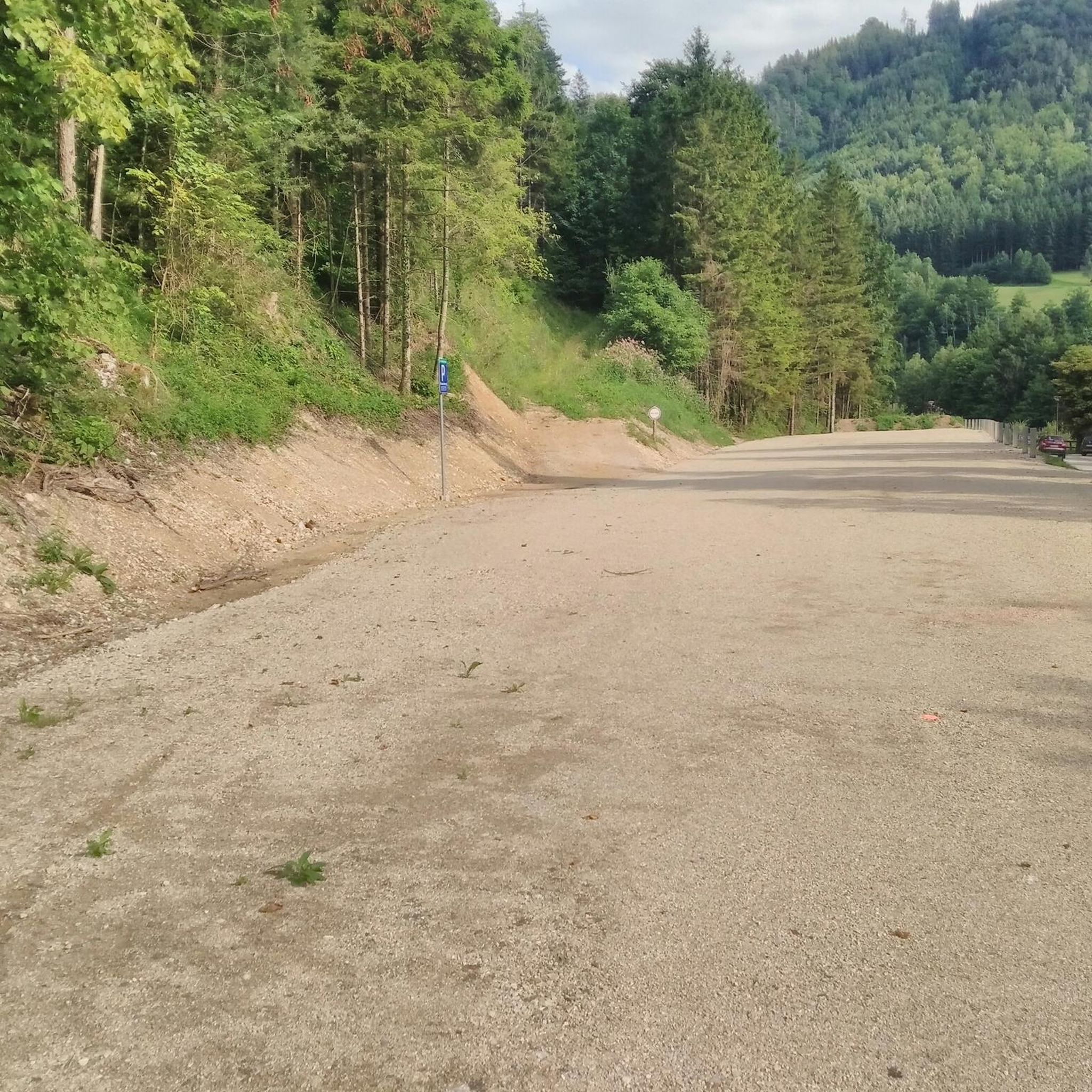
ホレンシュタイン・アン・デア・イップスでのハイキング
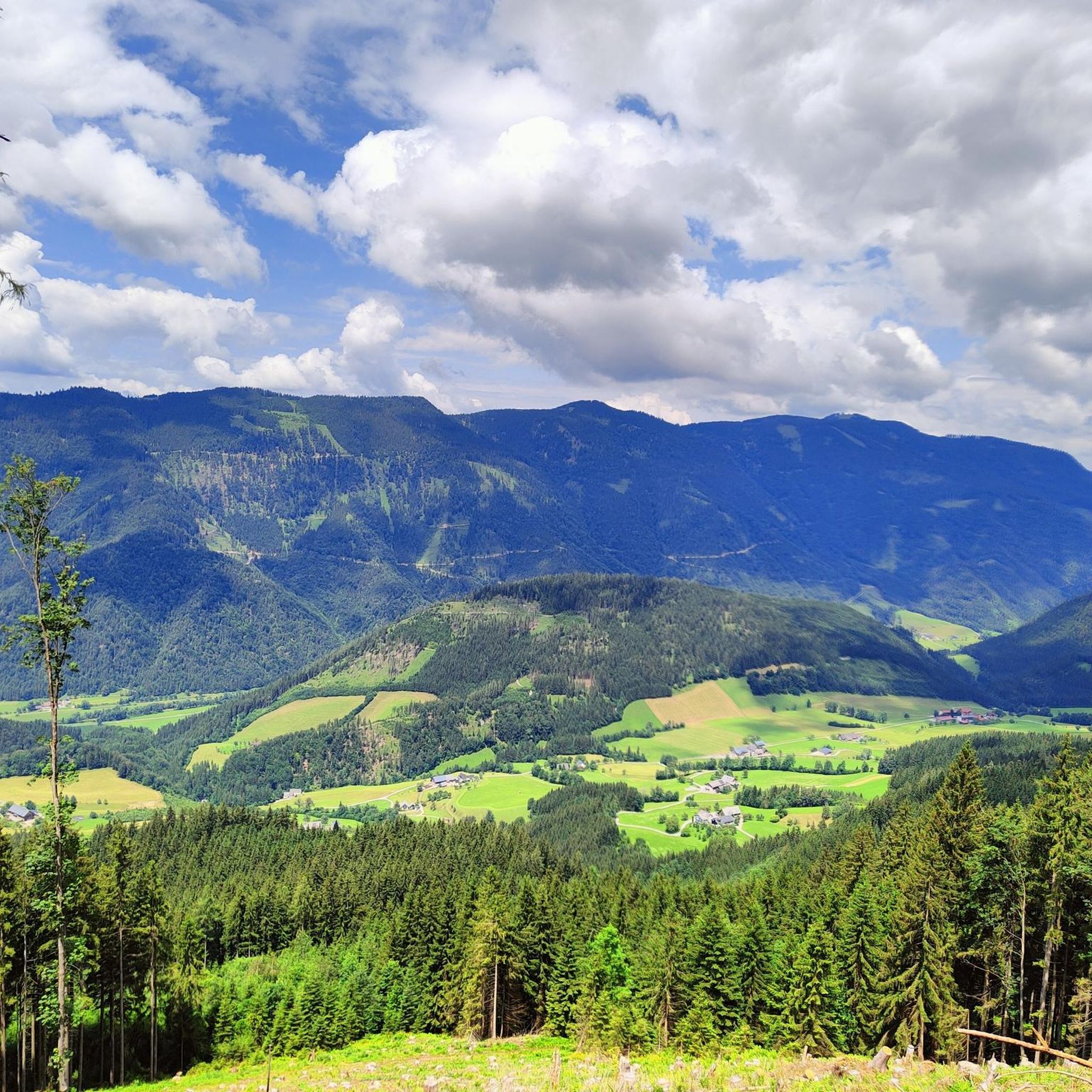
ホレンシュタイン・アン・デア・イップスのMTBトレイル
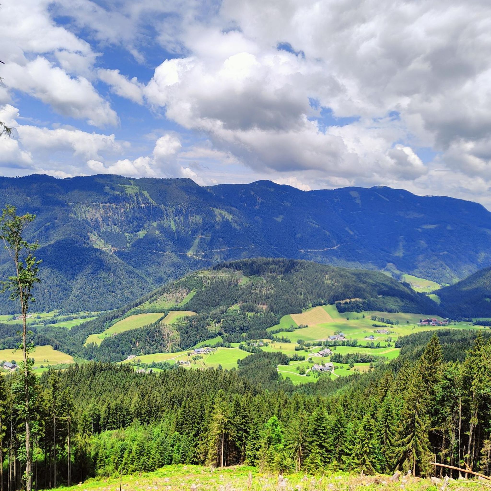
ホレンシュタイン・アン・デア・イップスでのサイクリング
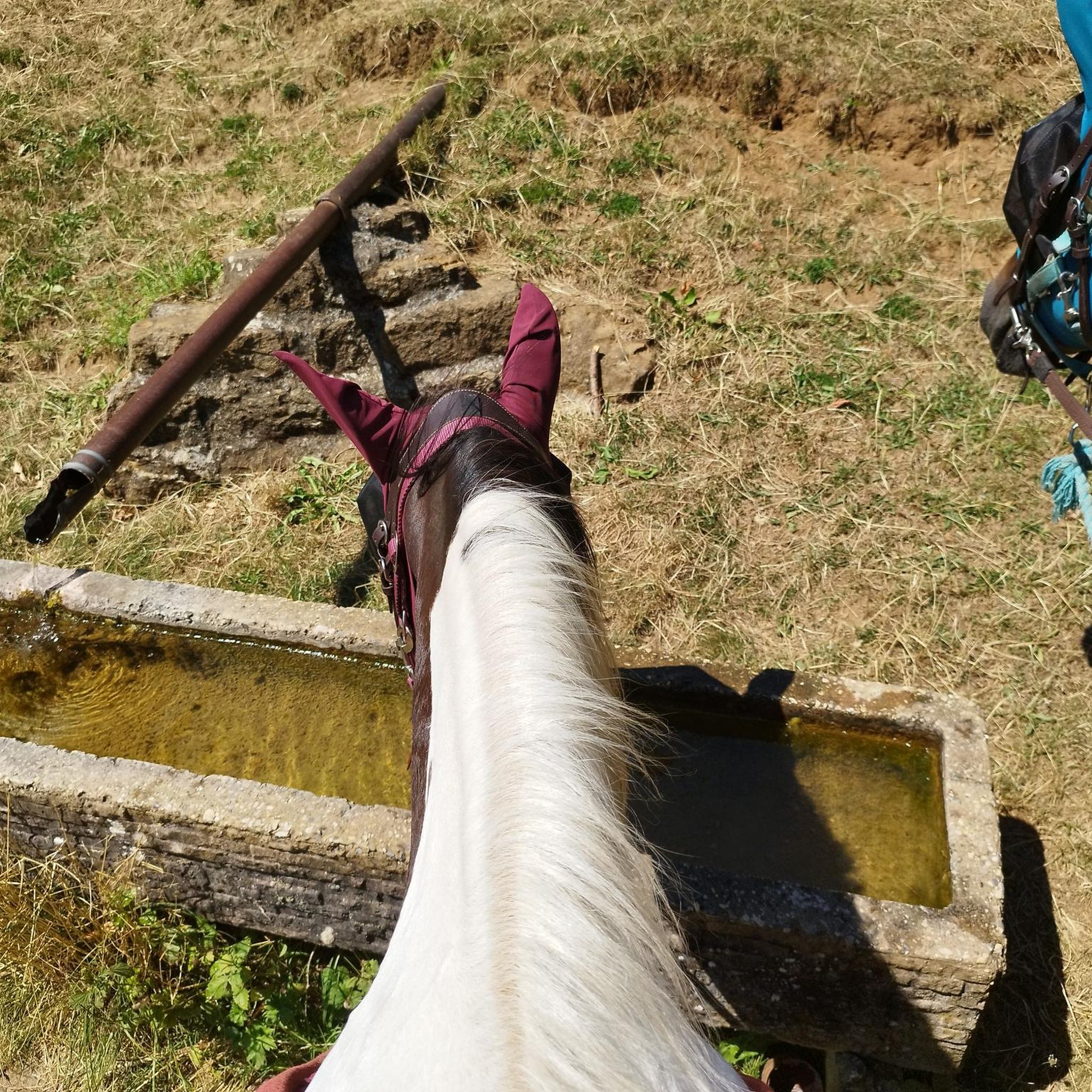
ホレンシュタイン・アン・デア・イップスでの登山&山歩き
ホレンシュタイン・アン・デア・イップスでののグラベルライド
ホレンシュタイン・アン・デア・イップスでのの他の冒険


コミュニティからのヒント

Probably the best swimming spot on the Yibbs. Deep enough to really dive in or swim a few meters. Nice loungers and a changing room included.
0
0

Please check the opening hours before your visit.
0
0
Beautiful frescoes make the chapel worth visiting.
0
0
Beautiful pilgrimage church, unfortunately closed in winter
0
0

The late Gothic pilgrimage church of St. Sebald stands on the Heiligenstein, which was used as a place of worship from early on. A small rock cave and a spring are located a little below the church. According to legend, Sebald was a miracle-working hermit who lived in a small cave for a long time on his journey from Rome to Nuremberg. The trade relations between the ironsmith town of Weyer and the German city of Nuremberg, where Sebald is buried, may have been crucial for the emergence of the Sebald cult at Heiligenstein. The church building dates from the second half of the 15th century; the bell tower was added in 1665 and acquired its current appearance in 1733. A little later, the baroque Sebaldi Chapel with the grotto was built.
1
0


This small pond is beautifully embedded here and is the starting point for many a tour. There is also a parking space here!
6
0
This small pond is idyllically embedded at the beginning of the hike to the Ybbstaler hut. There is also a parking space from which you can start your tour.
6
1
ホレンシュタイン・アン・デア・イップスでのの人気ルート
ホレンシュタイン・アン・デア・イップスでのの人気観光スポット

komootモバイルアプリでインスピレーションを得よう


さらに探索
他の地域の最高のランニングトレイル & ルートを見てみましょう。
