ヘイワーズヒース周辺のアトラクション&必見スポット - トップ20
ヘイワーズヒースには必見のスポットがたくさんあります。ハイキング愛好家やサイクリング愛好家の方は、ぜひヘイワーズヒースを探索してこのエリアにある20
の隠れたスポットを訪れてみてください。このエリアの必見スポットを確認し、次の冒険に出かける計画を立てましょう。
最終更新日: 9月 12, 2026
ディッチリング・ビーコン
ハイライト • 自然記念物
役立つ情報 は

アーディングリー貯水池
ハイライト • 湖
役立つ情報 は

今すぐサインアップして、こんな場所を発見しよう
最高のシングルトラック、ピーク、その他のエキサイティングなアウトドアスポットのおすすめを受け取ろう。
ジャックとジルの風車
ハイライト • 記念碑
役立つ情報 は
フレッチング村とセント・アンドリュー&セント・メアリー・ザ・ヴァージン教会
ハイライト • 歴史的な場所
役立つ情報 は

サセックス・ボーダー・パス:ディッチリング・ビーコンからフィッシャーズゲート
ハイライト (セグメント) • トレイル
役立つ情報 は

無料でサインアップして、さらに多くの観光スポットを発見しましょう ヘイワーズヒースでの。
すでにアカウントをお持ちですか?
無料アカウントで今日から始めよう
次の冒険が待っています。

コミュニティからのヒント

The cafe has re-opened Tuesday to Saturday closing at 4.30pm. Had the coffee and polenta cake - very yummy.
0
0

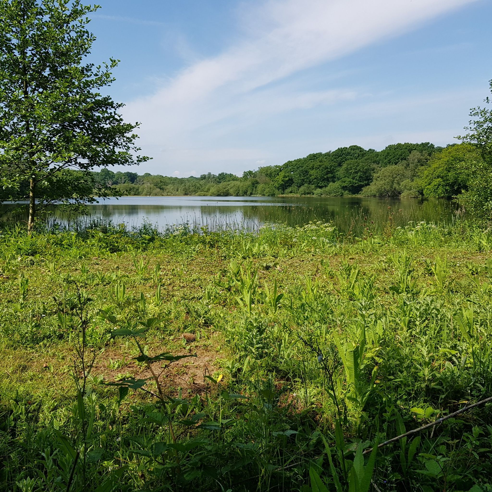
The perimeter path around the reservoir is very muddy in places currently due to the amount of rain. Welly boots needed in some places.
0
0

The Sussex Border Path is a long-distance footpath that is nearly 150 miles (241 km) long and goes around the county boundary of Sussex. It is a relatively new trail initiated in 1983, and since its inception, the route has only traced the county boundary. As Sussex has been split administratively into east and west for many years, there is now a new border path section running from East Grinstead to Brighton, reflecting these east and west sections. This is part of that section and runs from Ditchling Beacon to Fishersgate, or vice versa. The section is 12 miles (19 km) long and consists of Ditchling Beacon itself, sections of beautiful bridleways with sea views, and the famous Chattri Indian War Memorial.
1
1
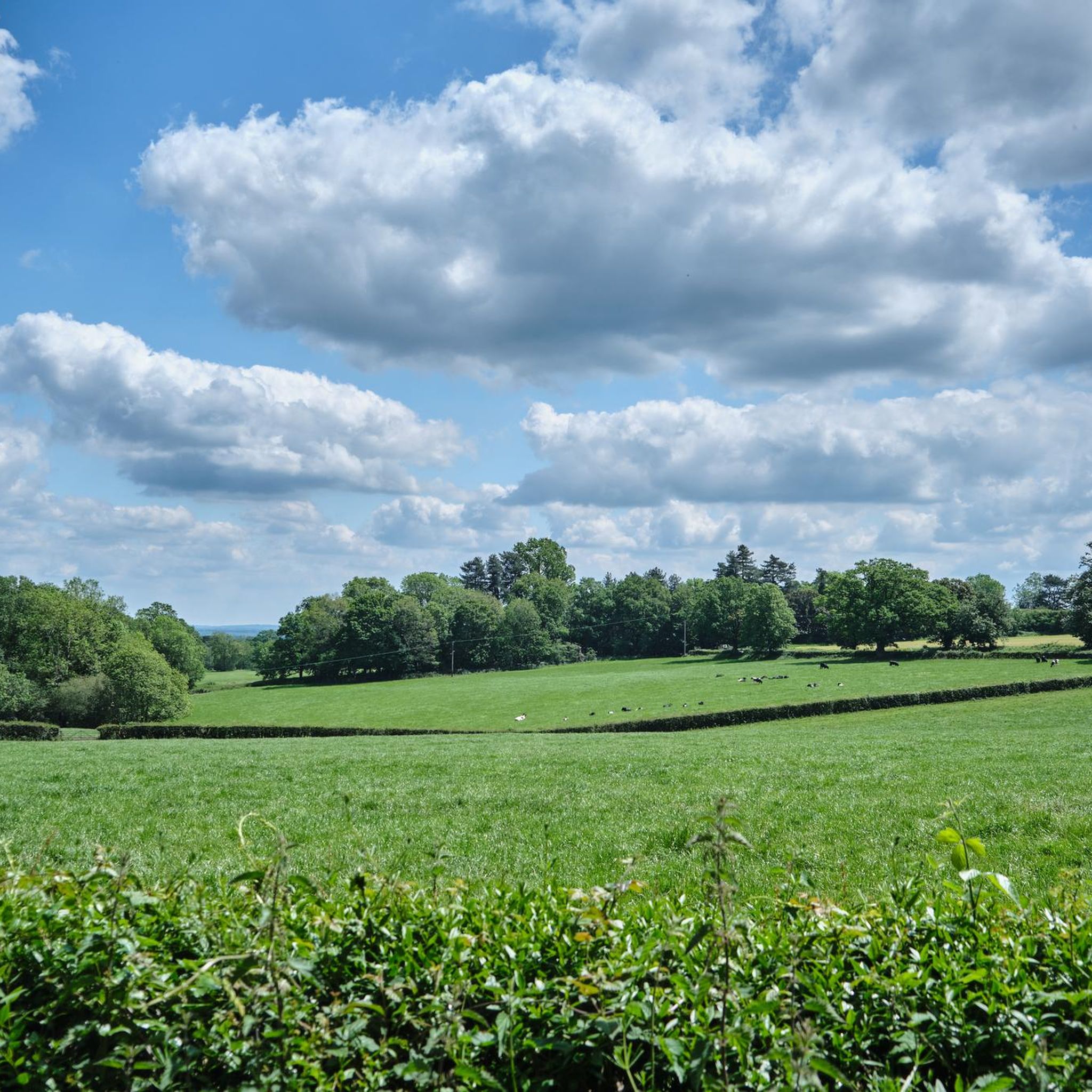
At over 650 feet (200 m), Ditchling Beacon gives you a good climb and a great vantage point to see out over the surrounding countryside. To the north you look back at the lush countryside of the Weald, to the south are views of Brighton, and to the east and west, the rolling undulating views out over the South Downs.
1
1

Delicious coffee from a small converted horse trailer. It won't always be there. But if it is, it's a recommendation.
0
0


These old windmills are the best proof that people were clever enough a number of centuries ago - long before the discovery of electricity and the inventions that resulted from it - to harness the power of the elements for their own purposes: no human or animal muscle power is needed for the grinding process, but the wind captured by the wings is enough to drive the heavy millstones and thus, for example, to grind flour from grain (grain mills) or to press oil from olives (oil mills). Often they are only technical and historical evidence of a long tradition of craftsmanship, because most of the old mills have been abandoned over time.
2
0

Ice cream van also serving Tea today (Easter Monday). view from the top on a nice clear day
0
0
ヘイワーズヒースでのの人気観光スポット

komootモバイルアプリでインスピレーションを得よう


さらに探索
まだ探しているハイライトが見つかりませんか?他の地域のトップアトラクションのガイドを見てみましょう:
