チェイリーのおすすめライド
4.4
(357)
11,635
ライダー
552
ライド
チェイリー周辺でのロードバイクライドをお考えですか?komootはチェイリー周辺のあらゆるロードバイクライドを評価し、人気ルートを厳選しました。チェイリー周辺の各ロードバイクルートの詳細をご覧になり、自分に合ったルートを見つけてください。
最終更新日: 8月 20, 2026
5.0
(1)
27
ライダー
27.5km
01:12
220m
220m
初級者向けロードバイクライド. あらゆるフィットネスレベルに適しています。 全般的に舗装状態が良好で走行しやすい道です。
23
ライダー
20.6km
01:03
280m
280m
初級者向けロードバイクライド. あらゆるフィットネスレベルに適しています。 全般的に舗装状態が良好で走行しやすい道です。

無料新規登録
23
ライダー
19.2km
00:53
160m
160m
初級者向けロードバイクライド. あらゆるフィットネスレベルに適しています。 全般的に舗装状態が良好で走行しやすい道です。
5.0
(1)
20
ライダー
53.6km
02:35
490m
490m
中程度のロードライド. ある程度のフィットネスレベルが必要です。 全般的に舗装状態が良好で走行しやすい道です。
15
ライダー
41.6km
01:46
350m
350m
中程度のロードライド. ある程度のフィットネスレベルが必要です。 全般的に舗装状態が良好で走行しやすい道です。
さらに多くのルートや他のユーザーのおすすめ情報を確認できます。
無料新規登録
すでにアカウントをお持ちですか?
おすすめのツアーは他のkomootユーザーが実際に経験した何千ものアクティビティに基づいています。
無料アカウントで今日から始めよう
次の冒険が待っています。
ログインまたは登録
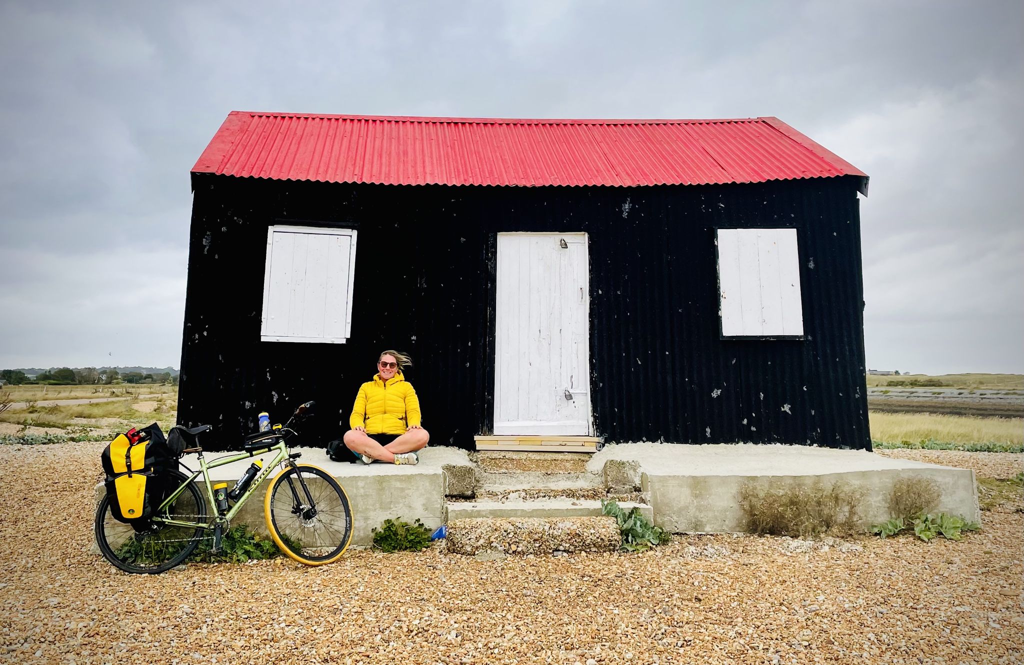
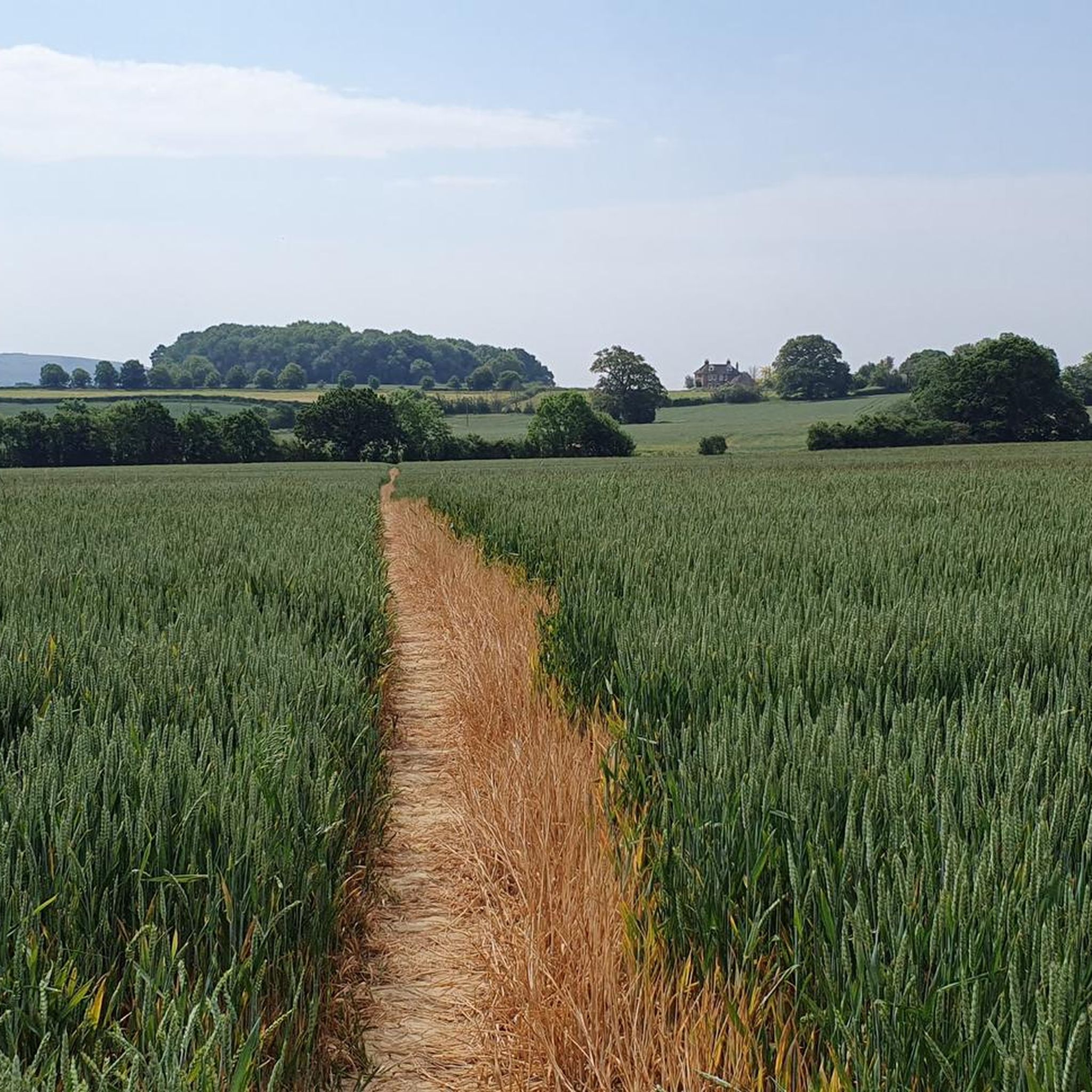
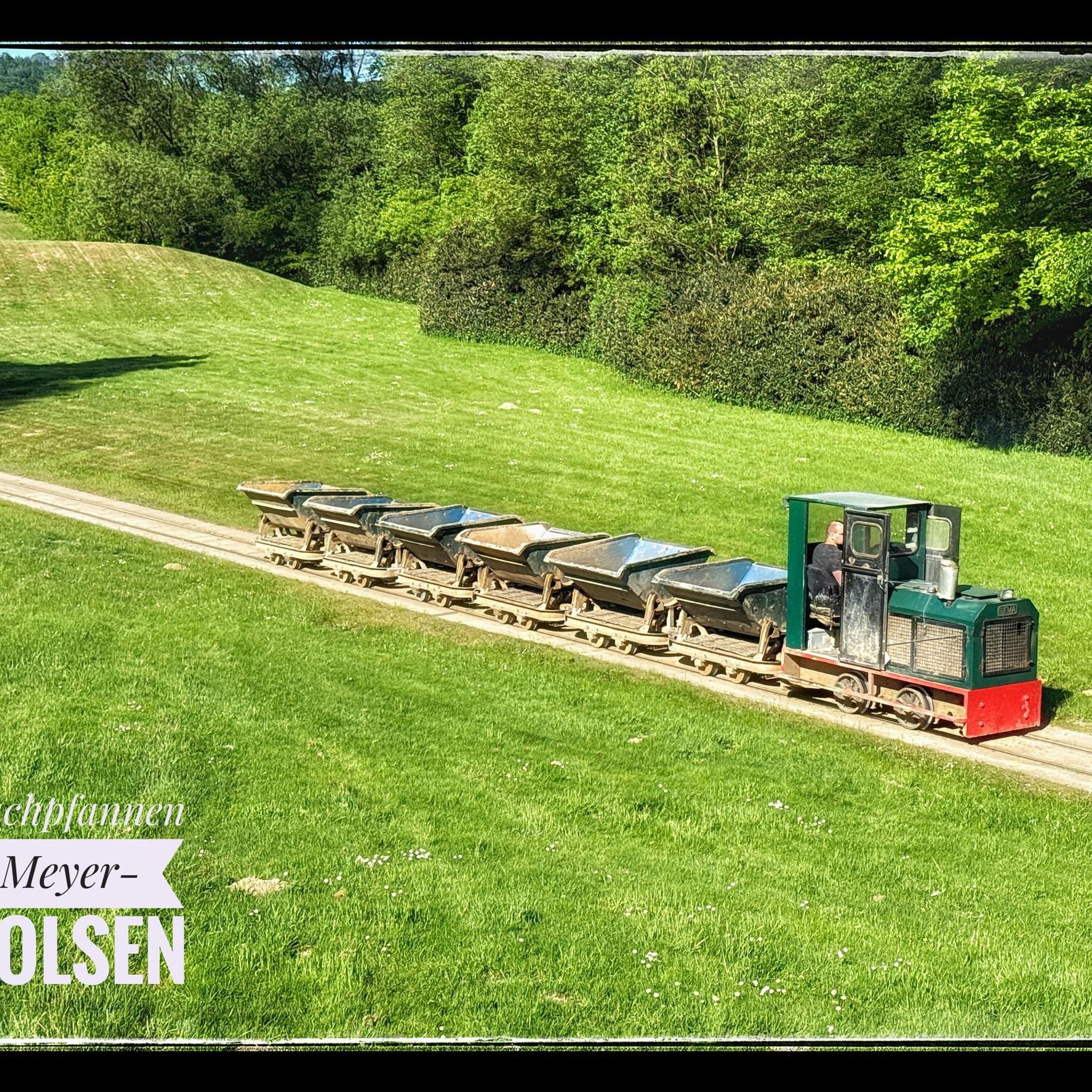
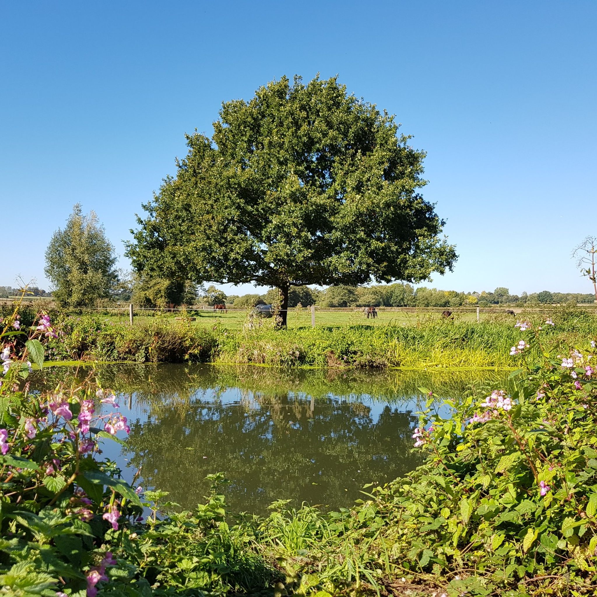

コミュニティからのヒント


Ditchling Museum of Art & Craft has an excellent cafe serving delicious cakes
1
0

The cafe has re-opened Tuesday to Saturday closing at 4.30pm. Had the coffee and polenta cake - very yummy.
0
0

Do not enter or risk 20k fine!
0
0

Lewes Castle is a medieval fortress originally known as Bray Castle. Positioned strategically, it commands a prominent location, overseeing the gap in the South Downs shaped by the River Ouse and surrounded by the towns of Lewes and Cliffe. The castle is perched on a man-made mound located just north of Lewes' high street, crafted from locally sourced limestone and flint blocks.
0
0
This historic town lies on the outskirts of the South Downs National Park. The High Street is narrow and can get quite busy with two-way cars so don’t expect to be able to whizz through. "Hurstpierpoint" is believed to have originated from the Old English words "hyrst" (meaning wooded hill) and "pyrige" (meaning point or ridge).
0
0

The Lavender Line was originally part of the Lewes to Uckfield Railway opened to the public on 18 October 1858
0
0

Norman style church at the junction of a couple of bridleways and Streat Lane.
0
0
チェイリーでのの人気観光スポット

komootモバイルアプリでインスピレーションを得よう


さらに探索
他の地域の最高のロードサイクリングルートを見てみましょう。
