ウェストハンツピル周辺のアトラクション&必見スポット - トップ20
ウェストハンツピルには必見のスポットがたくさんあります。ハイキング愛好家やサイクリング愛好家の方は、ぜひウェストハンツピルを探索してこのエリアにある20
の隠れたスポットを訪れてみてください。このエリアの必見スポットを確認し、次の冒険に出かける計画を立てましょう。
最終更新日: 8月 26, 2026
ブレントノール山頂とジュビリー記念碑
ハイライト • 展望台
役立つ情報 は

WWT Steart Marshes
ハイライト • 展望台
役立つ情報 は

今すぐサインアップして、こんな場所を発見しよう
最高のシングルトラック、ピーク、その他のエキサイティングなアウトドアスポットのおすすめを受け取ろう。
無料新規登録
バーナム=オン=シー・ピア
ハイライト • サイクリングロード
役立つ情報 は

Fenlyn's Clyce
ハイライト • 歴史的な場所
役立つ情報 は
キングズ・セッジムーア・ドレイン川沿いの道
ハイライト (セグメント) • サイクリングロード
役立つ情報 は

無料でサインアップして、さらに多くの観光スポットを発見しましょう ウェストハンツピルでの。
無料新規登録
すでにアカウントをお持ちですか?
無料アカウントで今日から始めよう
次の冒険が待っています。
ログインまたは登録
コミュニティからのヒント


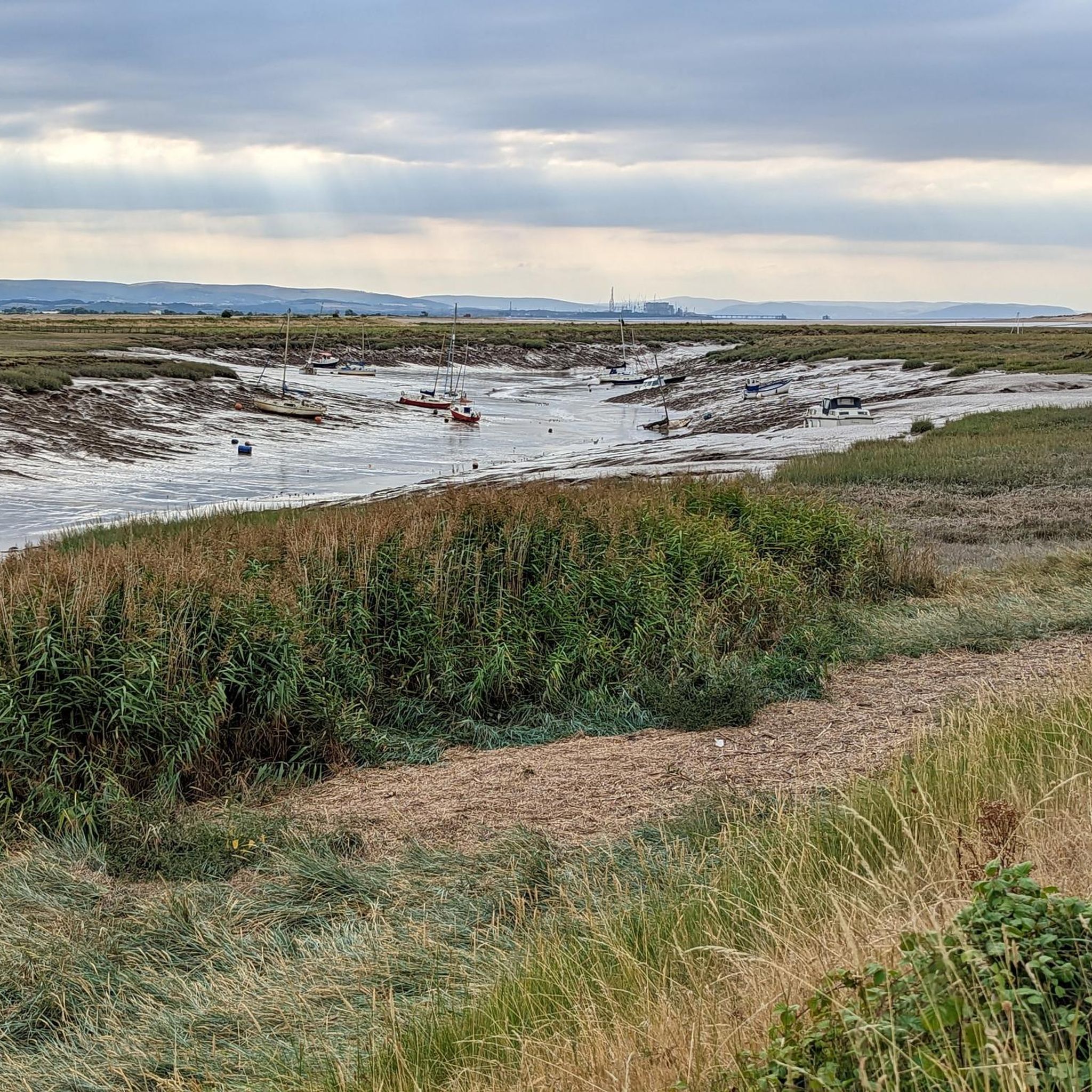
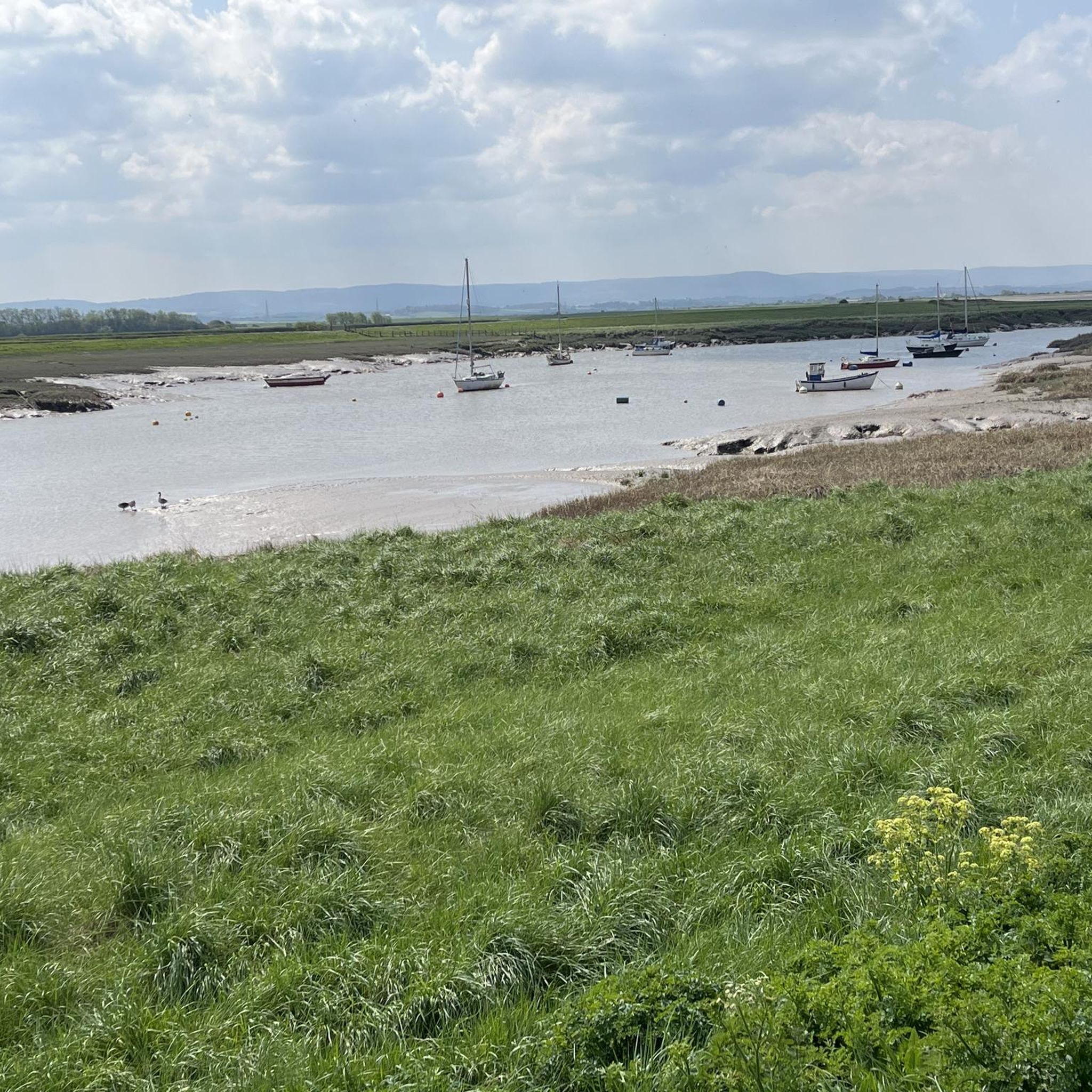
Perfect Dario to watch the world go by and look at wildlife
1
0

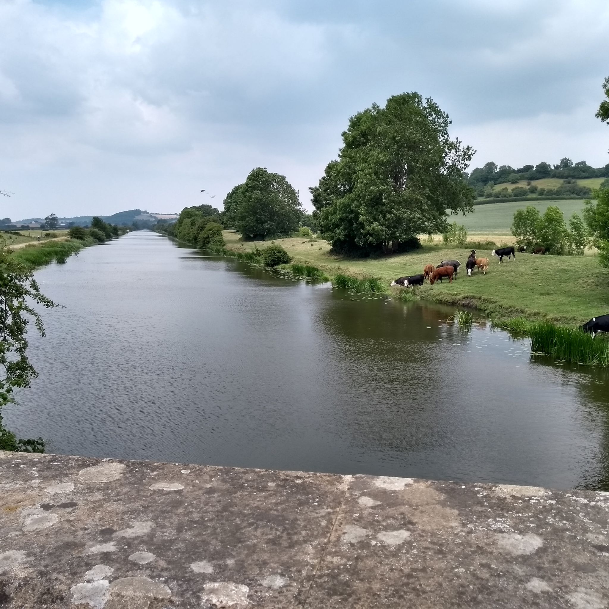
UPDATE & OPEN; The Chedzoy/Bawdrip section which was closed is now reopened to walkers and bike riders ; Information obtained from Sustran 2/7/25
1
0

If it has rained a lot, then recommend if you want to go up and down a different way, you ascend from the north and descend on the south. The south has steps; the north is slippery and steep and needs trail shoes if not dry for some time. If only going up and down, do from the south. On a clear day, there are great views - Glastonbury, the Quantocks, Exmoor, the Welsh coast and the Brecon Beacons and the Mendips. It was once an Iron Age fort; the Romans called it "the Isle of Frogs" as it looked like a squatting frog from some angles and in those days, the marshes had not been drained. And at Easter, on the east side, a local group erects three crosses.
3
0

if just the climb you can park in the village. climb about 15-20 min
1
0

Great spot by the sea to eat an ice cream, fish and chips or just to get some fresh air
0
0


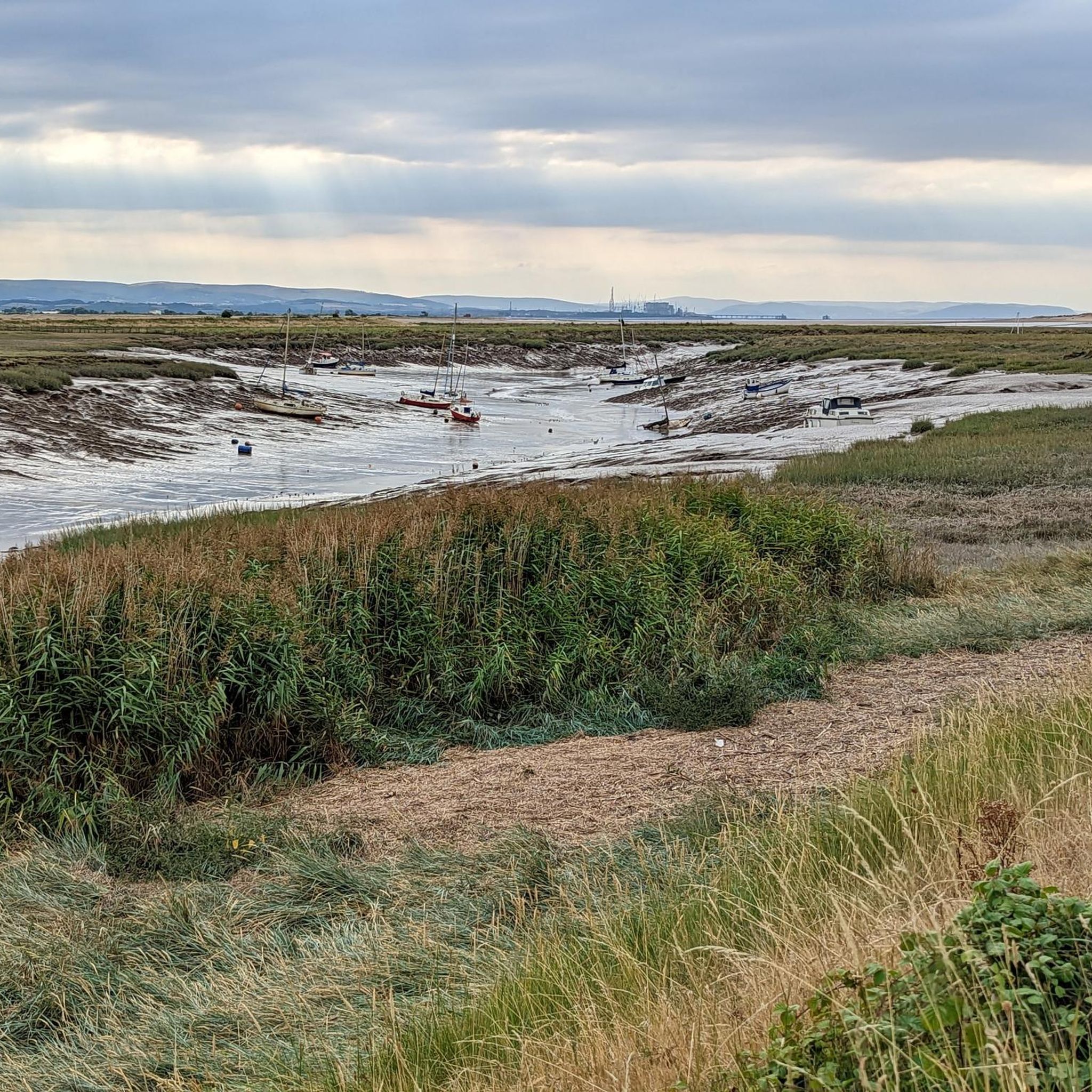
Steart Marshes lies at the mouth of the River Parrett and is a working wetland preserve. Home to a vast population of wildfowl and being an important part of the local flood defences, it’s a wonderful place to walk around. Managed by the Wildfowl and Wetlands Trust, there are salt and freshwater marshes here covering hundreds of hectares. Otters, egrets and wildfowl all call this their home and you’ll find plenty of hides dotted about to spy on them.
2
0

komootモバイルアプリでインスピレーションを得よう


さらに探索
まだ探しているハイライトが見つかりませんか?他の地域のトップアトラクションのガイドを見てみましょう:
