ティンバーズクームのおすすめライド
4.8
(26)
1,229
ライダー
102
ライド
ティンバーズクーム周辺でのロードバイクライドをお考えですか?komootはティンバーズクーム周辺のあらゆるロードバイクライドを評価し、人気ルートを厳選しました。ティンバーズクーム周辺の各ロードバイクルートの詳細をご覧になり、自分に合ったルートを見つけてください。
最終更新日: 10月 13, 2026
3
ライダー
111km
07:01
2,430m
2,430m
難しいロードライド. 標準以上のフィットネスレベルが必要です。 全般的に舗装状態が良好で走行しやすい道です。
9
ライダー
21.8km
01:03
260m
260m
初級者向けロードバイクライド. あらゆるフィットネスレベルに適しています。 全般的に舗装状態が良好で走行しやすい道です。

6
ライダー
31.7km
01:42
450m
450m
中程度のロードライド. ある程度のフィットネスレベルが必要です。 全般的に舗装状態が良好で走行しやすい道です。
5
ライダー
26.7km
01:25
420m
420m
中程度のロードライド. ある程度のフィットネスレベルが必要です。 全般的に舗装状態が良好で走行しやすい道です。
3
ライダー
125km
06:23
1,960m
1,960m
難しいロードライド. 標準以上のフィットネスレベルが必要です。 ツアーの一部に、未舗装のため走行が難しい箇所があるかもしれません。
さらに多くのルートや他のユーザーのおすすめ情報を確認できます。
すでにアカウントをお持ちですか?
おすすめのツアーは他のkomootユーザーが実際に経験した何千ものアクティビティに基づいています。
無料アカウントで今日から始めよう
次の冒険が待っています。

コミュニティからのヒント


Lynmouth Hill from Lynmouth is a brutally steep Exmoor ascent, averaging 13% with savage ramps up to 25%. The narrow, twisting road climbs sharply through thick woodland, with smooth tarmac but little let-up in gradient. Start in your easiest gear and stay seated to maintain traction—there’s no warm-up, and the climb hits hard from the first pedal stroke. Watch for sharp bends and limited visibility if traffic is around. It’s a short, intense effort that will leave your legs burning and your heart pounding. Launching straight out of Lynmouth harbour eastwards on the A39, prepare for an immediate and ferocious battle with gravity up Lynmouth Hill. There's no gentle introduction; the road kicks skywards instantly and relentlessly, averaging a punishing 12-13% for the entire ascent. Experience the sustained, intense effort required right from the first pedal stroke, engaging your lowest gears as you fight your way up through the wooded lower slopes. You'll wrestle the bike around tight hairpin bends where the gradient peaks at a formidable 25%, especially on the inside lines. Feel the village shrink rapidly below as, you glimpse the stunning coastal views opening up over the bay. Be mindful of other traffic likely sharing your struggle on this notoriously steep Exmoor A-road. The intense effort only truly relents as you finally reach the slightly gentler ground near Countisbury at the top.
3
0

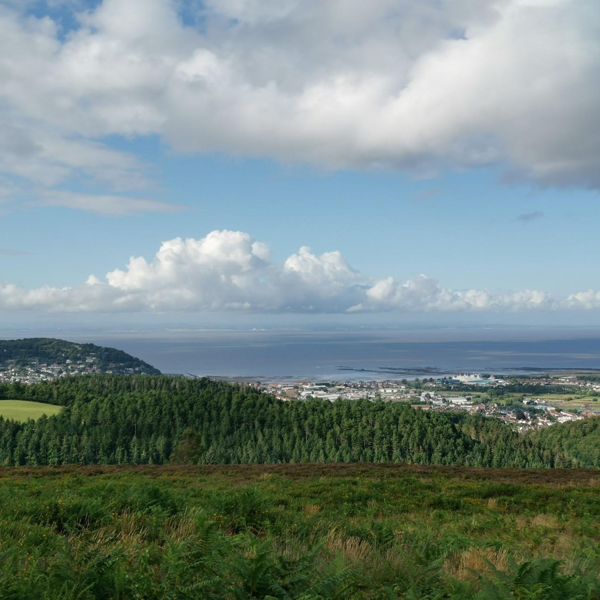
Tackling Porlock Hill westwards from the village on the A39, prepare for an immediate, brutal ascent. The climb bites hard almost instantly, throwing its infamous 25% ramps at you very early, particularly around the tight hairpins. Experience the intense effort required in your lowest gears, feeling the steepness challenge every pedal stroke. As you winch yourself upwards through the woods, glance back (when safe!) at the rapidly unfolding, stunning views over Porlock Bay. Be aware you'll be sharing this famously steep A-road with other vehicles. After battling the steepest sections, the gradient lessens slightly, but the climb persists relentlessly until you emerge onto the exposed Exmoor moorland at the summit and breathtaking views over the Bristol Channel.
2
0

In the middle of the village there is a beautiful, old stone bridge with a ford across the stream next to it. Great photo opportunity!
2
0


Not the prettiest Exmoor village, but probably the one with the greatest view.
1
0
ティンバーズクームでのの人気観光スポット

komootモバイルアプリでインスピレーションを得よう


さらに探索
他の地域の最高のロードサイクリングルートを見てみましょう。
