アリ山脈のおすすめランニングルート
4.5
(2)
431
ランナー
21
ランニング
アリ山脈でランニングを楽しめば、このエリアをより深く知ることができます。ランニングに適した美しいルートが見つかるように、komootがアリ山脈でのルートのコレクション全体を評価して選び抜いた、人気ランニングトレイルをご紹介します。ルートをクリックして詳細を表示し、他のユーザーがアップロードした役立つ情報や写真を閲覧しましょう。
最終更新日: 9月 1, 2026
25
ランナー
6.84km
00:43
70m
70m
中程度のジョギング. ある程度のフィットネスレベルが必要です。 全般的に舗装された状態です。あらゆるスキルレベルに適しています。
5.0
(1)
19
ランナー
19.9km
02:25
760m
760m
難しいジョギング. 標準以上のフィットネスレベルが必要です。 全般的に舗装された状態です。あらゆるスキルレベルに適しています。

無料新規登録
17
ランナー
8.93km
01:08
320m
320m
難しいジョギング. 標準以上のフィットネスレベルが必要です。 安定して歩行できる技術、丈夫な靴、高標高地での登山経験が必要です。
12
ランナー
20.6km
02:55
1,120m
1,120m
難しいジョギング. 標準以上のフィットネスレベルが必要です。 全般的に舗装された状態です。あらゆるスキルレベルに適しています。
11
ランナー
20.9km
03:39
1,130m
1,130m
難しいジョギング. 標準以上のフィットネスレベルが必要です。 安定して歩行できる技術、丈夫な靴、高標高地での登山経験が必要です。
11
ランナー
30.2km
04:09
1,520m
1,520m
難しいジョギング. 標準以上のフィットネスレベルが必要です。 全般的に舗装された状態です。あらゆるスキルレベルに適しています。
10
ランナー
31.4km
04:07
1,400m
1,400m
難しいジョギング. 標準以上のフィットネスレベルが必要です。 全般的に舗装された状態です。あらゆるスキルレベルに適しています。
5
ランナー
22.9km
03:34
1,420m
1,430m
難しいジョギング. 標準以上のフィットネスレベルが必要です。 全般的に舗装された状態です。あらゆるスキルレベルに適しています。
4
ランナー
9.25km
01:00
120m
120m
中程度のジョギング. ある程度のフィットネスレベルが必要です。 全般的に舗装された状態です。あらゆるスキルレベルに適しています。
6
ランナー
8.96km
01:33
700m
700m
難しいジョギング. 標準以上のフィットネスレベルが必要です。 全般的に舗装された状態です。あらゆるスキルレベルに適しています。
さらに多くのルートや他のユーザーのおすすめ情報を確認できます。
無料新規登録
すでにアカウントをお持ちですか?
おすすめのツアーは他のkomootユーザーが実際に経験した何千ものアクティビティに基づいています。
無料アカウントで今日から始めよう
次の冒険が待っています。
ログインまたは登録


コミュニティからのヒント

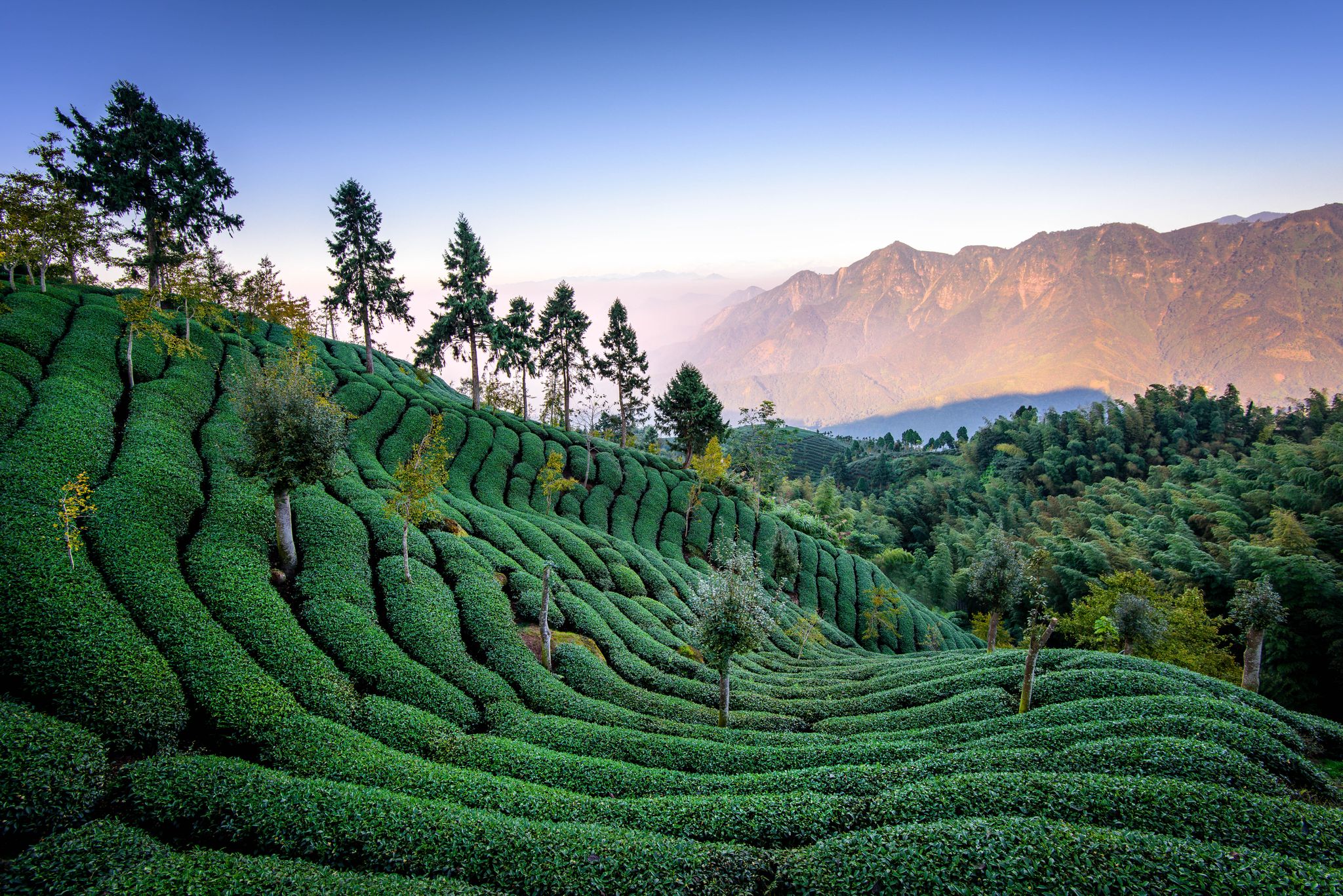
Surrounded by tea plants, you'll hike here with breathtaking views over the heights of Mount Lizijiao. You'll enjoy a stunning view, but even in the fog, the landscape offers a wonderfully mystical setting.
0
0
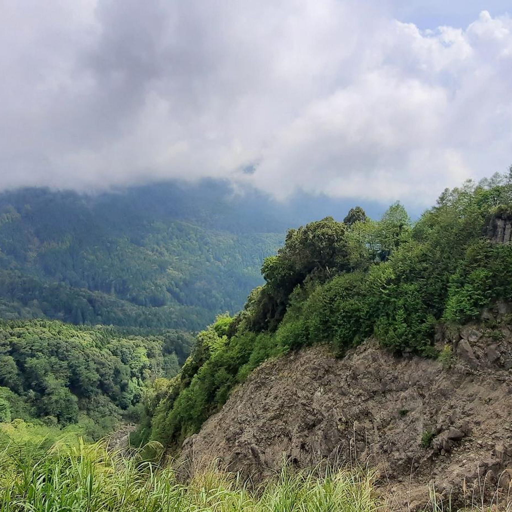
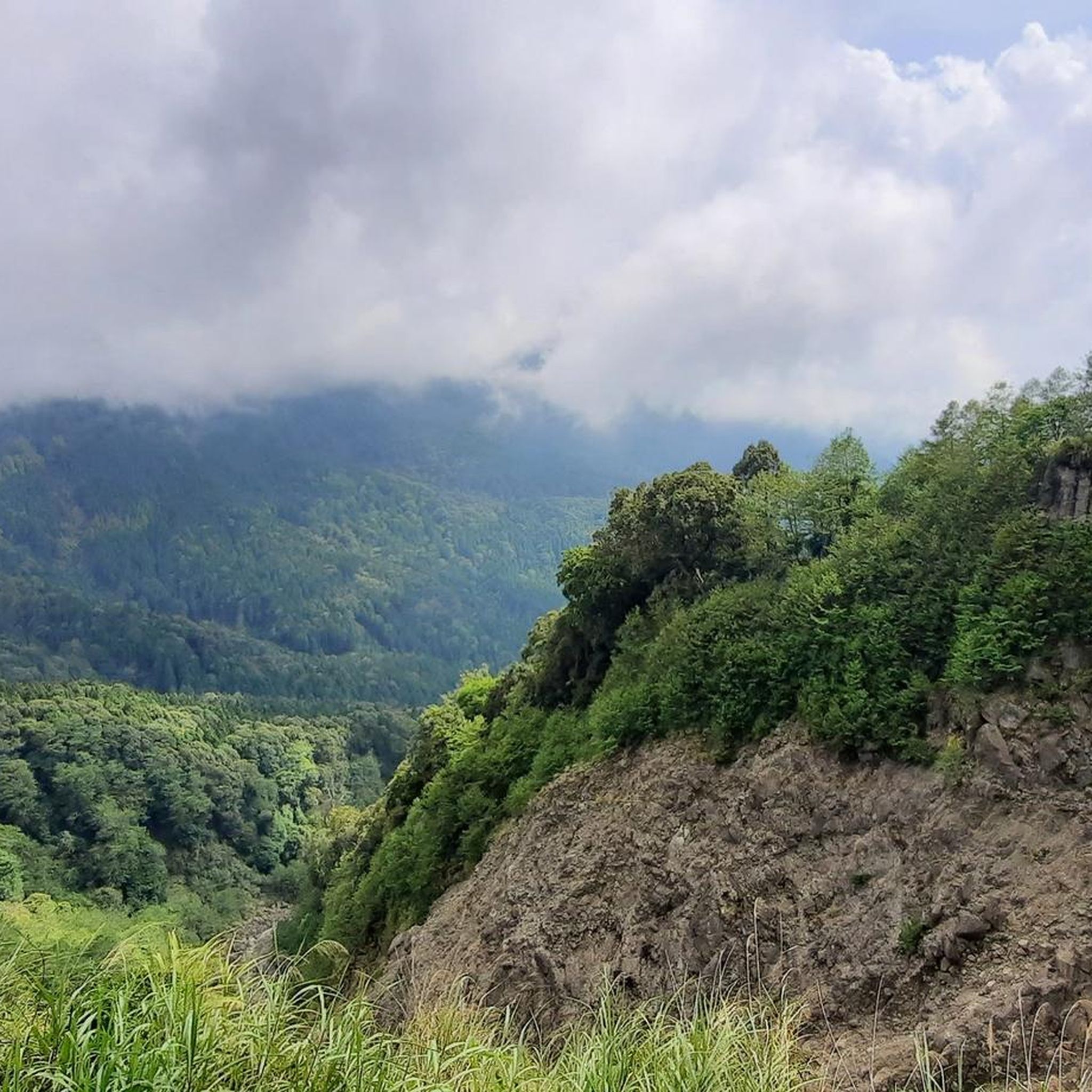
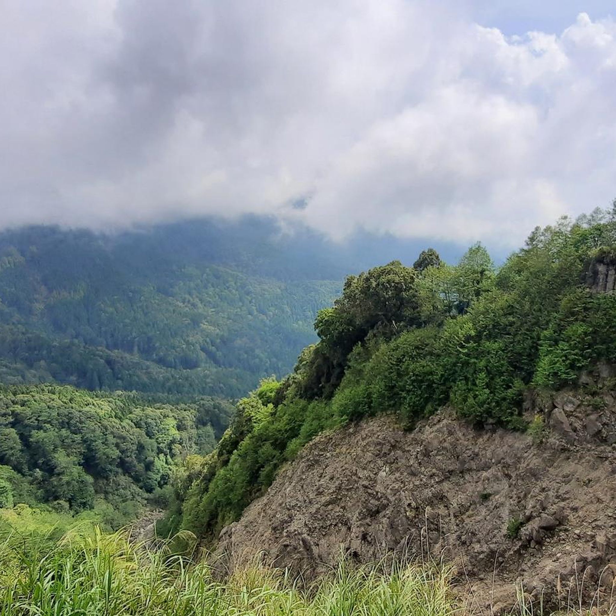
The Dahengping Mountains are located in the eastern district of Taiping. They are a southern branch of the Xueshan Mountains, which extend northwest from the central mountain range across the island state. From here, you have a beautiful view of the surrounding peaks.
0
0

It is about 1.8 kilometers from Paiyun Lodge. The slate is interbedded with metasandstones. There are still marine fossils and corrugated traces on Daciaobi (The Great Precipice), which is the best proof showing how Taiwan was uplifted from the ocean by the collision between the Eurasian Plate and the Philippine Sea Plate.
1
0
It is about 5 kilometers away from the trailhead and at an elevation of 3,096 meters. There was a wildfire in the area before. The whitening of the remaining hemlock tree and fir tree trunks form the view of the landscape. There is an observation deck for visitors to enjoy the view.
1
0
アリ山脈でのの人気観光スポット

komootモバイルアプリでインスピレーションを得よう


