キャッスルモートンのおすすめツーリングルート
4.6
(155)
1,619
ライダー
231
ライド
キャッスルモートンでおすすめのサイクリングルートをお探しですか?行きたいルートを簡単に決められるように、このページではキャッスルモートン周辺の人気バイクライドをご紹介します。 ぜひ、お気に入りのルートを見つけてください。
最終更新日: 10月 9, 2026
4.8
(5)
22
ライダー
55.1km
03:19
280m
280m
難しい自転車ライド. ある程度のフィットネスレベルが必要です。 ツアーの一部で自転車を押して歩く必要があるかもしれません。
5.0
(1)
9
ライダー
43.9km
03:15
750m
750m
難しい自転車ライド. 標準以上のフィットネスレベルが必要です。 全般的に舗装された状態です。あらゆるスキルレベルに適しています。

8
ライダー
25.4km
01:33
150m
150m
初級者向けバイクライド. あらゆるフィットネスレベルに適しています。 全般的に舗装された状態です。あらゆるスキルレベルに適しています。
8
ライダー
23.8km
01:42
390m
390m
中程度の自転車ライド. ある程度のフィットネスレベルが必要です。 全般的に舗装された状態です。あらゆるスキルレベルに適しています。
7
ライダー
27.2km
01:55
440m
440m
中程度の自転車ライド. ある程度のフィットネスレベルが必要です。 全般的に舗装された状態です。あらゆるスキルレベルに適しています。
さらに多くのルートや他のユーザーのおすすめ情報を確認できます。
すでにアカウントをお持ちですか?
おすすめのツアーは他のkomootユーザーが実際に経験した何千ものアクティビティに基づいています。
無料アカウントで今日から始めよう
次の冒険が待っています。

コミュニティからのヒント


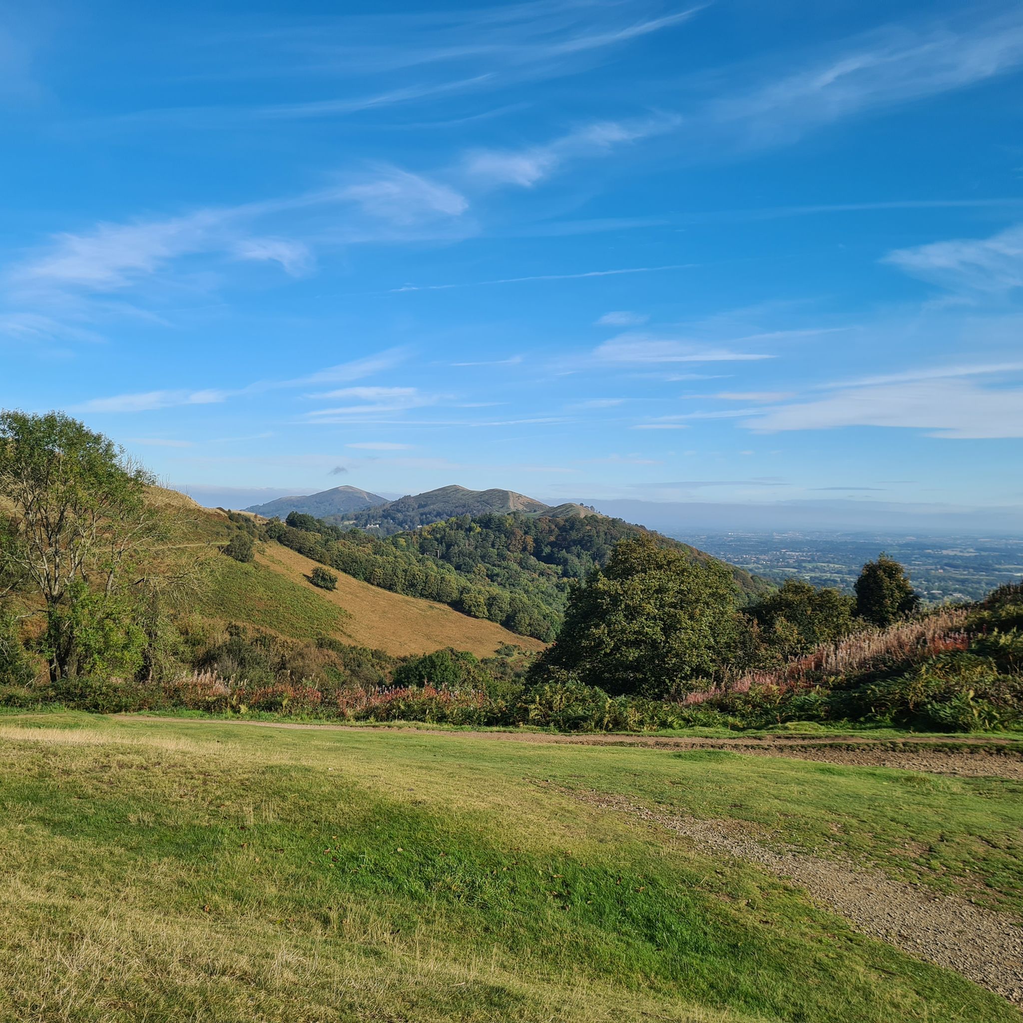
Summer Hill is a bit of a bump in between the Beacon and the Wyche Cutting, however it's steep southern aspect does afford some of the best views along the Malvern Hills ridge, particularly when there is an Inversion happening.
0
0
There are some lovely places to stop and just look on and around the Malvern Hills, and this is one of them.
0
0

From Myseries of Mercia - a book and facebook page.... A mysterious cave on the Malvern hills and an enormous lump of stone in a nearby village...what connects them? This is Clutters Cave, an apparently man-made grotto within a volcanic basalt outcrop. Very little is known about it, not least who on earth "Clutter" was, but it's been mentioned in connection with various points in history going back to the medieval age. Folklore claims that Owain Glyndwr, the legendary Welsh hero, hid in Clutters Cave after his abortive attempt to invade England and retreat from North Worcestershire. He was never seen again so it's as good a story as any. I've also been told that a hermit once lived in the cave, dispensing blessings and wisdom to those who climbed up the hills to see him. Alfred Watkins, author of The Old Straight Track and father of the ley line concept, reckoned he had found a "door" to the cave a few yards away in a nearby gulley which was used as a "sacrificial stone" by "druids". He even got his assistant McKaig to lie on it as a "victim" to prove his point. Unfortunately for Watkins, we know that at least part of his theory was wide of the mark as his cave door is of a completely different type of rock. So what about the big rock? This lies at the centre of the village of Colwall and folklore gives us a reason for its presence. Another name for Clutters Cave is "Giant's Cave" and the story goes that this giant lived on the Malvern Hills with his human wife. One day he saw a man flirting with his good lady down in the valley where Colwall now lies. Erupting with rage as he watched the two of them giggling, he dug his hands into the rock and scooped out an enormous lump which he hurled at the pair down below, crushing them both. It was said that they lay under the rock for centuries until someone dragged it away to clear the obstruction, whereupon the giant put it back into place the next night! Strangely, there is a record of a payment made to a local man to drag the current stone into position to replace "the stone that once stood there". Some say that Clutters Cave is actually a Victorian folly, but nobody has any idea when it appeared. I find this unlikely as although Alfred Watkins did misidentify a few sites he surely would have been aware of something being just a few decades old. I've also seen a reference to it in a novel from 1883 and in the journal of the Royal Anthropological Institute from 1881, neither of which dismiss it as a folly.
0
0

A great stop for warming up by the fire with a cup of coffee in the winter or a seat in the garden and a cold drink in the summer. Traditional pub food including sandwiches at lunchtime.
0
0

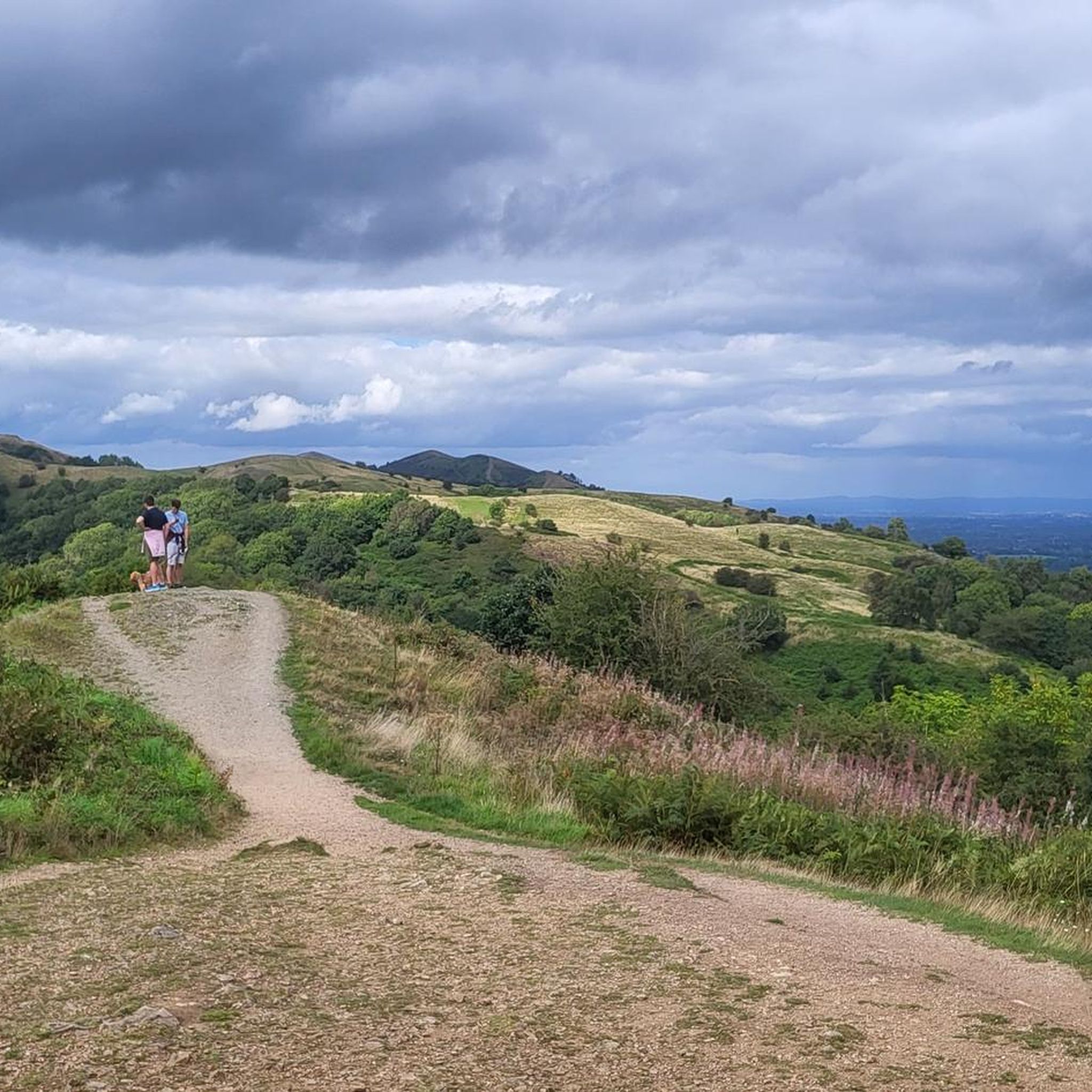
The Worcestershire Beacon, also popularly known as Worcester Beacon, or simply The Beacon, stands at 1394 feet (425 metres), making it the highest point in the Malvern Hills and indeed in the county of Worcestershire.
0
0
キャッスルモートンでのの人気観光スポット

komootモバイルアプリでインスピレーションを得よう


さらに探索
他の地域の最高のサイクリングルートを見てみましょう。
