ペンケスのおすすめツーリングルート
4.5
(681)
4,425
ライダー
363
ライド
ペンケスでおすすめのサイクリングルートをお探しですか?行きたいルートを簡単に決められるように、このページではペンケス周辺の人気バイクライドをご紹介します。 ぜひ、お気に入りのルートを見つけてください。
最終更新日: 8月 27, 2026
5.0
(3)
49
ライダー
22.4km
01:24
50m
50m
初級者向けバイクライド. あらゆるフィットネスレベルに適しています。 全般的に舗装された状態です。あらゆるスキルレベルに適しています。
4.4
(5)
35
ライダー
16.0km
01:03
40m
40m
初級者向けバイクライド. あらゆるフィットネスレベルに適しています。 全般的に舗装された状態です。あらゆるスキルレベルに適しています。

無料新規登録
5.0
(3)
27
ライダー
48.1km
02:51
220m
220m
中程度の自転車ライド. ある程度のフィットネスレベルが必要です。 全般的に舗装された状態です。あらゆるスキルレベルに適しています。
4.7
(10)
28
ライダー
26.3km
01:44
60m
60m
初級者向けバイクライド. あらゆるフィットネスレベルに適しています。 全般的に舗装された状態です。あらゆるスキルレベルに適しています。
4.3
(4)
21
ライダー
67.5km
04:09
510m
510m
難しい自転車ライド. 標準以上のフィットネスレベルが必要です。 全般的に舗装された状態です。あらゆるスキルレベルに適しています。
さらに多くのルートや他のユーザーのおすすめ情報を確認できます。
無料新規登録
すでにアカウントをお持ちですか?
おすすめのツアーは他のkomootユーザーが実際に経験した何千ものアクティビティに基づいています。
無料アカウントで今日から始めよう
次の冒険が待っています。
ログインまたは登録
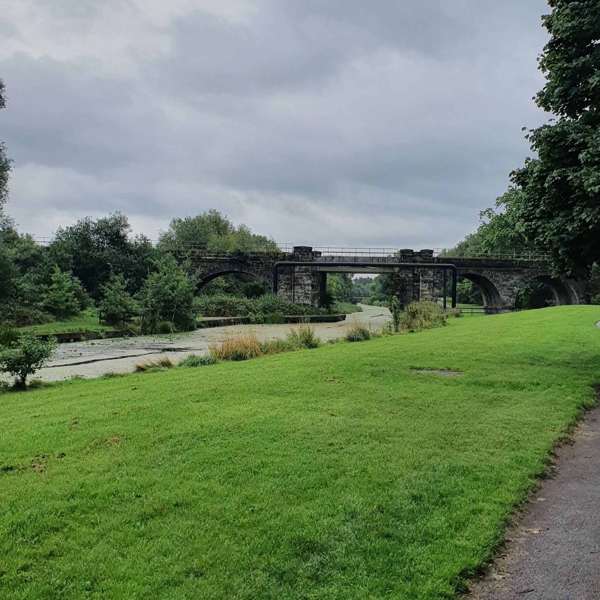
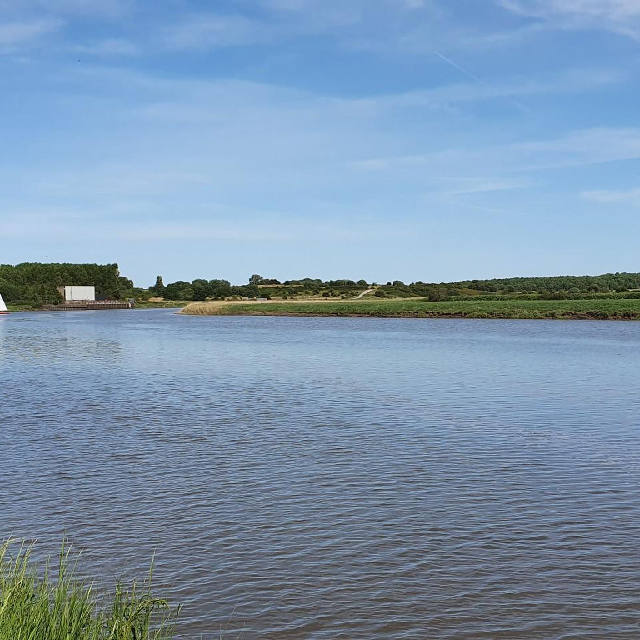
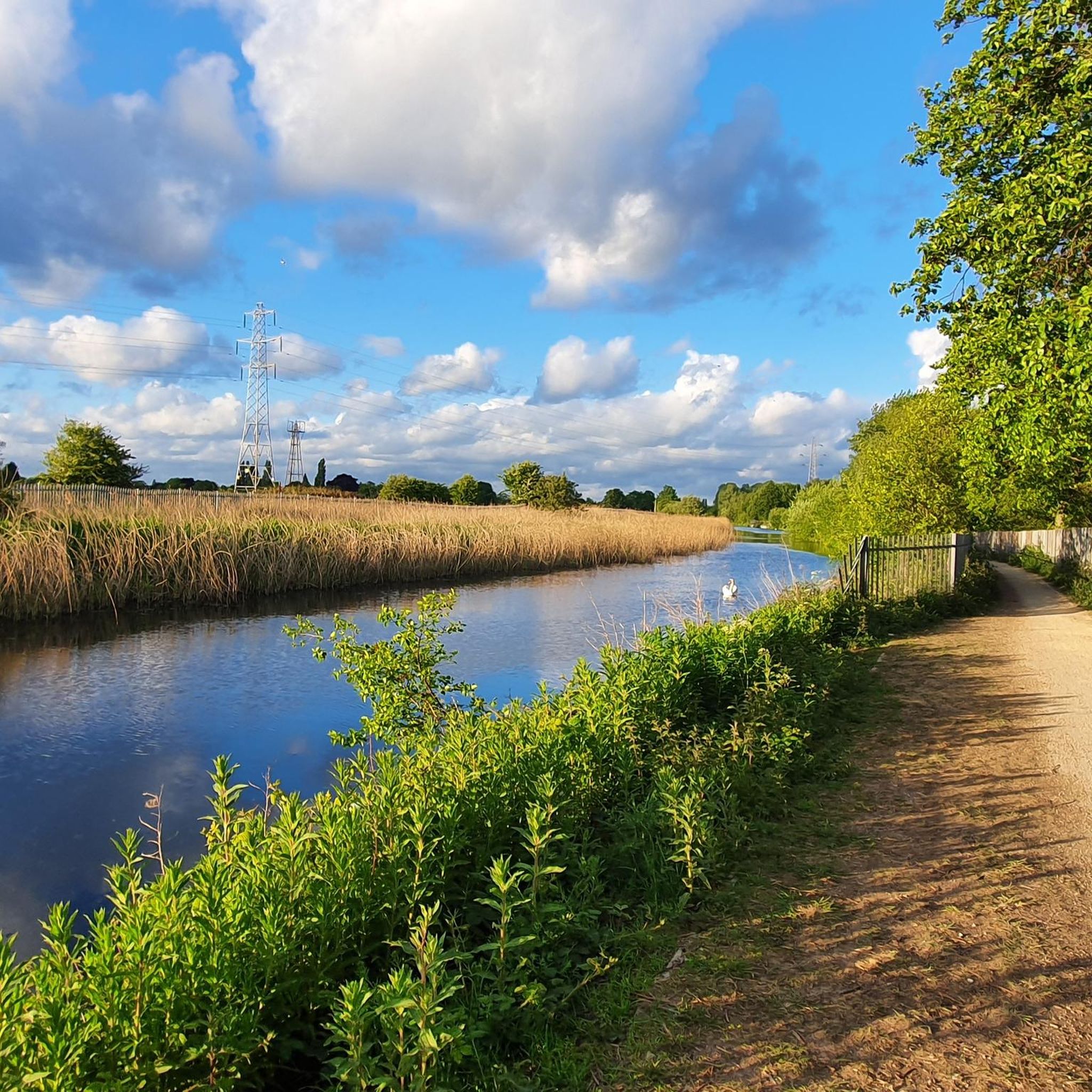
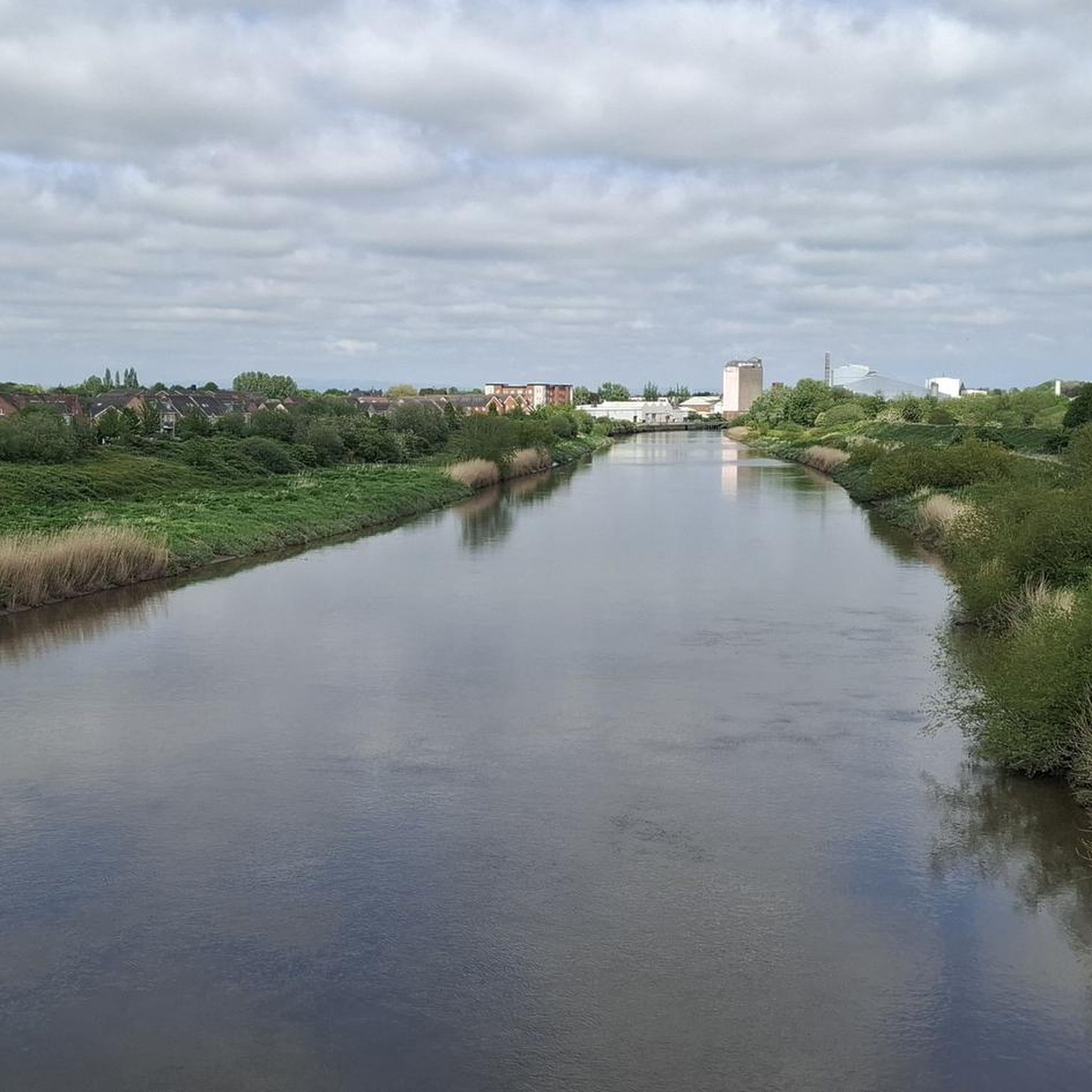
コミュニティからのヒント


Sankey Bridges is part of the Parish of St Barnabas in Warrington, a unitary authority in the north-west of England. Located on the turnpike road between Warrington, Prescot and Liverpool over the Sankey Brook, which was the boundary of Great Sankey and The County Borough of Warrington, it became home to many industries after the opening of the Sankey Canal, the first wholly artificial canal built in England during the Industrial Revolution.
6
0

Sankey Valley Park is a public park in Warrington, Cheshire. It occupies part of the Sankey Valley, and the main park itself covers over 1½ miles between Sankey Bridges in the south and Callands in the north. The valley follows the course of Sankey Brook and the now disused Sankey Canal. The park is enjoyed by walkers, cyclists and anglers, and the central section of the park is family orientated with children's play features, a maze and lawn areas. Bewsey Old Hall (and the Maltings Public House) sit on the edge of the central section of the park. The Trans Pennine Trail passes around 500 yards (460 m) from the southern tip of the park. Wikipedia
2
0

A very impressive bridge that spreads over the wide river Mersey, functional and beautiful at the same time.
1
0
A decommisioned Power Plant at the banks of the river Mersey. Four cooling towers which are still visible on Google Maps satellite view are already deconstructed, the four others are still standing close to the cycling lane and are visible from far.
0
0
Kingsway bridge was built in 1934, diverting the A50 to travel further north through Warrington 's suburbs to terminate at Longford Island, giving up Knutsford Road between Latchford Village and Bridge foot to become the A5061, which still remains the primary route today.
0
0
ペンケスでのの人気観光スポット

komootモバイルアプリでインスピレーションを得よう


さらに探索
他の地域の最高のサイクリングルートを見てみましょう。
