ダーリーデールの絶景の山頂・トップ11
絶景を目指して登るのであれ、達成感のために登るのであれ、山頂を訪れることで、ダーリーデールの美しい自然をもっと満喫することができます。11
もの選択肢の中から、制覇する山頂を決めるのは簡単ではありません。スムーズに次の冒険で目指す山頂を選べるように、ダーリーデールの素晴らしい山頂をこのガイドにまとめました。
最終更新日: 9月 21, 2026
High Tor と Giddy Edge
ハイライト (セグメント) • 展望台
役立つ情報 は

スタントン・ムーアのトリグポイント
ハイライト • 展望台
役立つ情報 は

今すぐサインアップして、こんな場所を発見しよう
最高のシングルトラック、ピーク、その他のエキサイティングなアウトドアスポットのおすすめを受け取ろう。
ホワイトエッジ三角点
ハイライト • 展望台
役立つ情報 は

アルポート・ハイツ山頂
ハイライト • 展望台
役立つ情報 は

ボールヒル三角点
ハイライト • 記念碑
役立つ情報 は

無料でサインアップして、さらに多くの山を発見しましょう ダーリーデールでの。
すでにアカウントをお持ちですか?
無料アカウントで今日から始めよう
次の冒険が待っています。
コミュニティからのヒント

TP6878 - White Edge | Trig Point | TrigpointingUK | TrigpointingUK https://share.google/smm0sjpcpbsp2e1kU
0
0

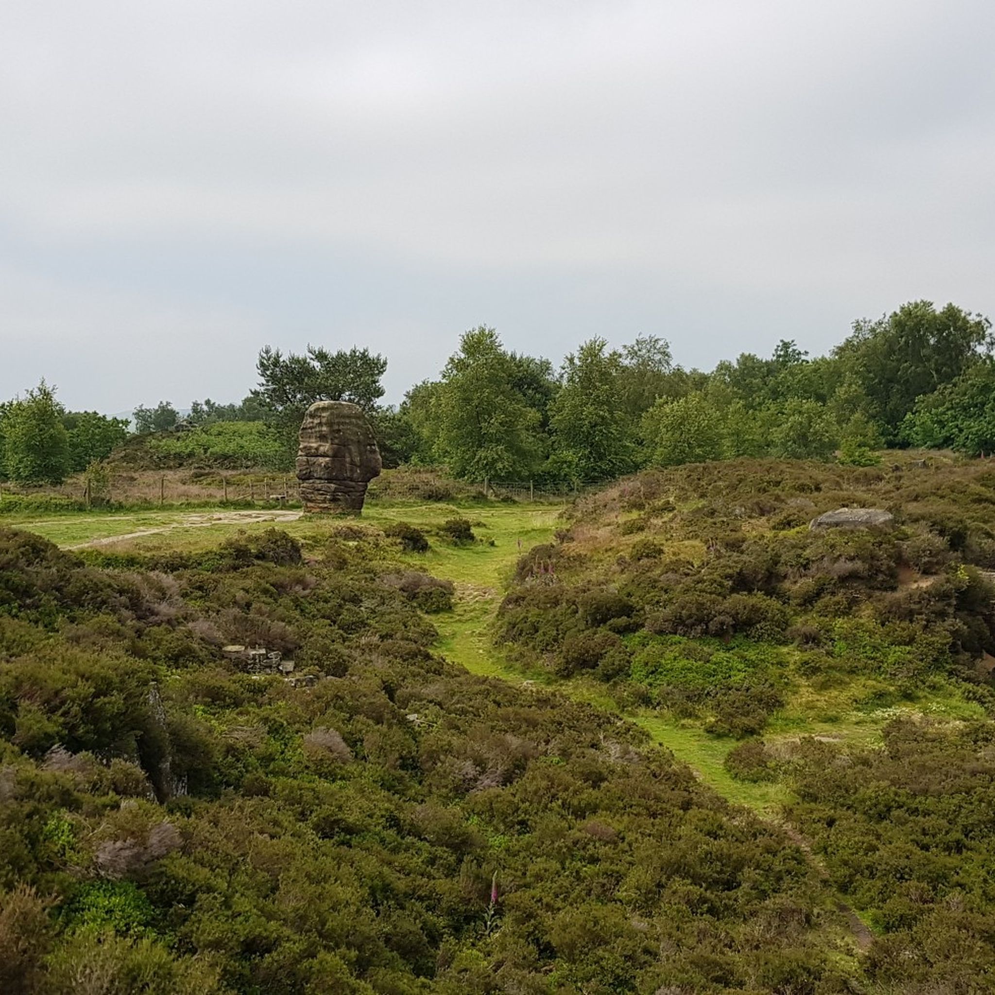
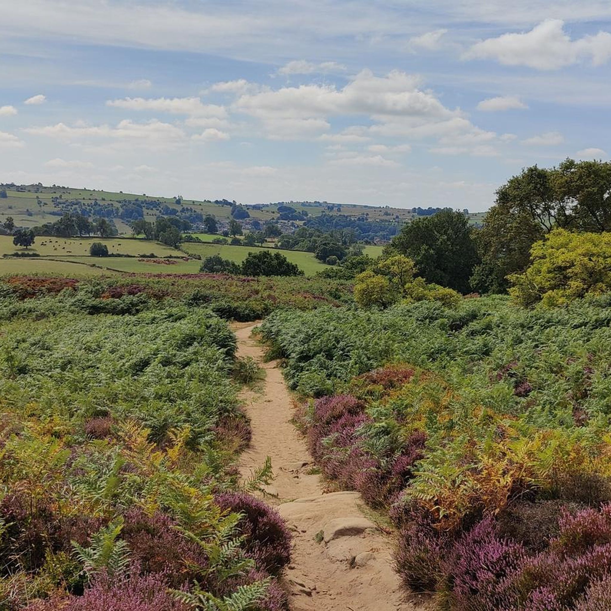
White edgeには素晴らしい景色があり、人気のBaslowやcurbar edgeよりも人が少ないです。
0
0


This is a pleasant quieter walk as most seem to keep to froggatt and curbar. If your lucky the stag and doe's will be about especially in the autum and spring.
1
0

The trig point stands on the northern end of White Edge Moor, at 1,198 ft (365 m), just short of the highest point. The trail along the whole edge is great to run and works very well as a loop with the trail along Froggatt and Curbar edge.
0
0

19th century pleasure ground which exploited the dramatic qualities of the Derwent valley. Peter Arkwright of Willersley Castle enclosed the grounds c 1860 and constructed pedestrian paths from a new entrance on the south side approached from the bridge to Matlock Bath railway station. The entrance from Starkholmes Road was retained and could be used by carriages. A pathway was formed through Fern Cave (scheduled ancient monument) and another on a narrow ledge along part of the cliff face. In 1879 the grounds were leased to the Matlock and High Tor Recreation Grounds Company Ltd and Milner of London was retained to supervise landscaping. Arkwright's Grand Walk, also used by carriages, was created, leading south to the summit from a gateway in Pig Tree Lane, now Pic Tor Lane. A refreshment room was erected near the summit, tennis and quoit or skittle grounds were constructed close to a modified southern entrance and additional paths put in with a broad flight of steps.
0
0

Alas, the previously awesome views from the trig point are long gone due to tree growth. Today the trig point is a waypoint only; for views head over to Black Rocks.
0
0
Bolehill (Cromford Moor) is 323 metres high and is one of the 95 Ethels (Peak District Hills).
0
0
ダーリーデールでのの人気観光スポット

komootモバイルアプリでインスピレーションを得よう


さらに探索
これらのガイドでさらに素晴らしい頂上を見てみましょうダーリーデールでの:
