スワークストーンの湖・トップ11
次の冒険でスワークストーンの素晴らしい湖を訪れてみませんか?湖畔の穏やかな雰囲気や、天気が良い日のひと泳ぎは格別です。komootコミュニティがおすすめするスワークストーンの素晴らしい湖の一覧を参考にして、次の冒険では湖をもっと満喫しましょう。
最終更新日: 9月 14, 2026
カルク・アビーの鹿公園
ハイライト • 自然
役立つ情報 は

メルボルン池
ハイライト • 湖
役立つ情報 は

今すぐサインアップして、こんな場所を発見しよう
最高のシングルトラック、ピーク、その他のエキサイティングなアウトドアスポットのおすすめを受け取ろう。
スタントン・ハロルド貯水池
ハイライト (セグメント) • 湖
役立つ情報 は

スタントン・ハロルド貯水池とビジターセンター
ハイライト • 展望台
役立つ情報 は

カーバーズ・ロックス自然保護区
ハイライト • 自然
役立つ情報 は

無料でサインアップして、さらに多くの湖を発見しましょう スワークストーンでの。
すでにアカウントをお持ちですか?
無料アカウントで今日から始めよう
次の冒険が待っています。
コミュニティからのヒント


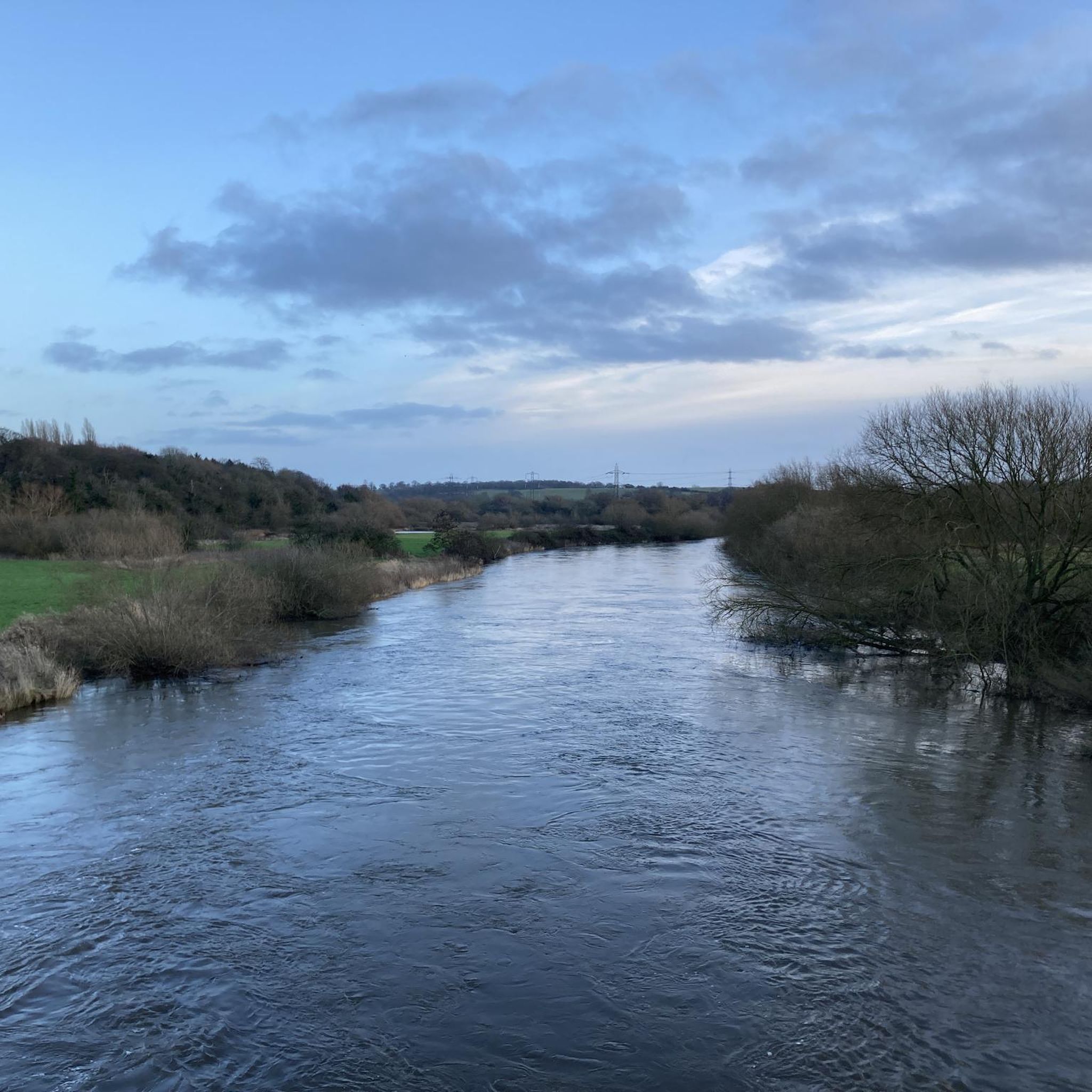
The Cross Britain Way is a long-distance route that goes 279 miles (450 km) from Barmouth on the West Wales coast to Boston on the East coast of England. The route was initiated to span the UK to highlight the lesser-known areas of our picturesque hidden countryside. Here you are at Staunton Harold Reservoir, which is a fair size at 210 acres (85 hectares). Here on the north-west shore, you have fine views out over the water and the surrounding woodland. There is an abundance of birdlife to look at here too. Not far away is the National Trust Cafe for Staunton Harold with access to toilets.
1
0
Carvers Rocks is situated at the southern tip of Foremark Reservoir and is a designated 280-acre (113-hectare) nature reserve and Site of Special Scientific Interest (SSSI) managed by the National Trust and Seven Trent. The area includes woodland, lowland heath, beautiful open countryside, and the open water of Foremark Reservoir. It is a haven for all types of wildlife , especially birds. There are a variety of recreation activities here, including woodland walks along with car parking and toilets.
1
0

Although its extent in the medieval period is not known, Melbourne Pool was certainly large by the early 17th century, as shown on a map of that time. Tradition says that stone for Melbourne Castle was quarried here before the area was flooded. A map of 1787 shows the Pool extending further to the west than it does now. It provided water to Melbourne Mill. The level of the water was raised by two feet at the beginning of the 18th century, in order to work the fountains in the Hall gardens, although this flooded part of the vicarage garden. By the early 19th century the pool was silted up completely at the west end. In the 1840s it was partly filled and the rest was cleaned out, making two ornamental islands and landscaping the surrounding area. In its current form it covers some 20 acres. It is not known when it was first created, but references to a mill pool are found in the early 14th century.
0
0

Melbourne Lake had a variety of bird species on it and there are local shops and cafes within one minute walk of it.
0
0

Great spot to stop for a picnic 🧺 r watch the sunset 🌅
1
0
スワークストーンでのの人気観光スポット

komootモバイルアプリでインスピレーションを得よう


さらに探索
まだ完璧な湖が見つかりませんかスワークストーンでの?これらの地域のガイドをチェックして、さらに美しい場所を見てみましょう。
