サウスサマセットのおすすめツーリングルート
4.6
(334)
3,373
ライダー
536
ライド
サウスサマセットでサイクリングを楽しめば、サマセットのこのエリアをより深く知ることができます。あなたにぴったりのサウスサマセットでのバイクライドが見つかるように、komootがサイクリングルートのコレクション全体を評価して選び抜いたルートをご紹介します。以下のルートをクリックして標高データや舗装状態の分析などの細かな情報を把握し、さらにkomootコミュニティのメンバーがアップロードした役立つ情報や写真も閲覧しましょう。
最終更新日: 7月 20, 2026
3.0
(2)
8
ライダー
69.5km
04:30
780m
780m
難しい自転車ライド. 標準以上のフィットネスレベルが必要です。 全般的に舗装された状態です。あらゆるスキルレベルに適しています。
5.0
(2)
5
ライダー
49.5km
03:16
560m
560m
難しい自転車ライド. 標準以上のフィットネスレベルが必要です。 全般的に舗装された状態です。あらゆるスキルレベルに適しています。

無料新規登録
2
ライダー
71.3km
04:58
1,010m
1,010m
難しい自転車ライド. 標準以上のフィットネスレベルが必要です。 全般的に舗装された状態です。あらゆるスキルレベルに適しています。
4.6
(19)
95
ライダー
21.5km
01:23
130m
130m
初級者向けバイクライド. あらゆるフィットネスレベルに適しています。 全般的に舗装された状態です。あらゆるスキルレベルに適しています。
4.6
(7)
66
ライダー
13.6km
00:53
70m
70m
初級者向けバイクライド. あらゆるフィットネスレベルに適しています。 全般的に舗装された状態です。あらゆるスキルレベルに適しています。
5.0
(5)
31
ライダー
29.3km
01:52
210m
210m
中程度の自転車ライド. ある程度のフィットネスレベルが必要です。 全般的に舗装された状態です。あらゆるスキルレベルに適しています。
4.7
(10)
53
ライダー
17.1km
01:05
120m
120m
初級者向けバイクライド. あらゆるフィットネスレベルに適しています。 全般的に舗装された状態です。あらゆるスキルレベルに適しています。
5.0
(2)
53
ライダー
19.6km
01:46
360m
360m
中程度の自転車ライド. ある程度のフィットネスレベルが必要です。 全般的に舗装された状態です。あらゆるスキルレベルに適しています。
5.0
(4)
31
ライダー
52.0km
03:06
310m
310m
中程度の自転車ライド. ある程度のフィットネスレベルが必要です。 全般的に舗装された状態です。あらゆるスキルレベルに適しています。
5.0
(1)
46
ライダー
23.3km
01:27
220m
220m
中程度の自転車ライド. ある程度のフィットネスレベルが必要です。 全般的に舗装された状態です。あらゆるスキルレベルに適しています。
さらに多くのルートや他のユーザーのおすすめ情報を確認できます。
無料新規登録
すでにアカウントをお持ちですか?
おすすめのツアーは他のkomootユーザーが実際に経験した何千ものアクティビティに基づいています。
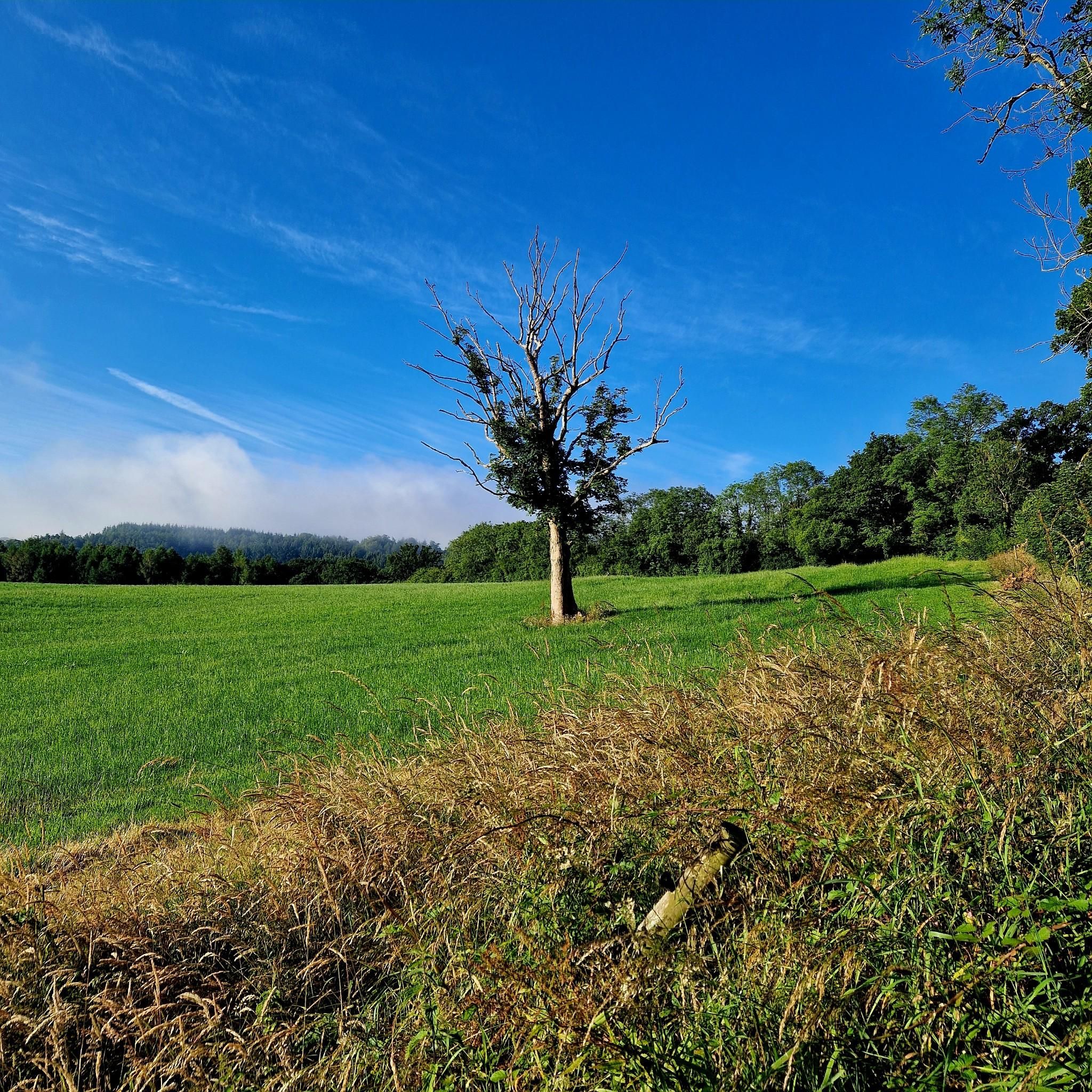
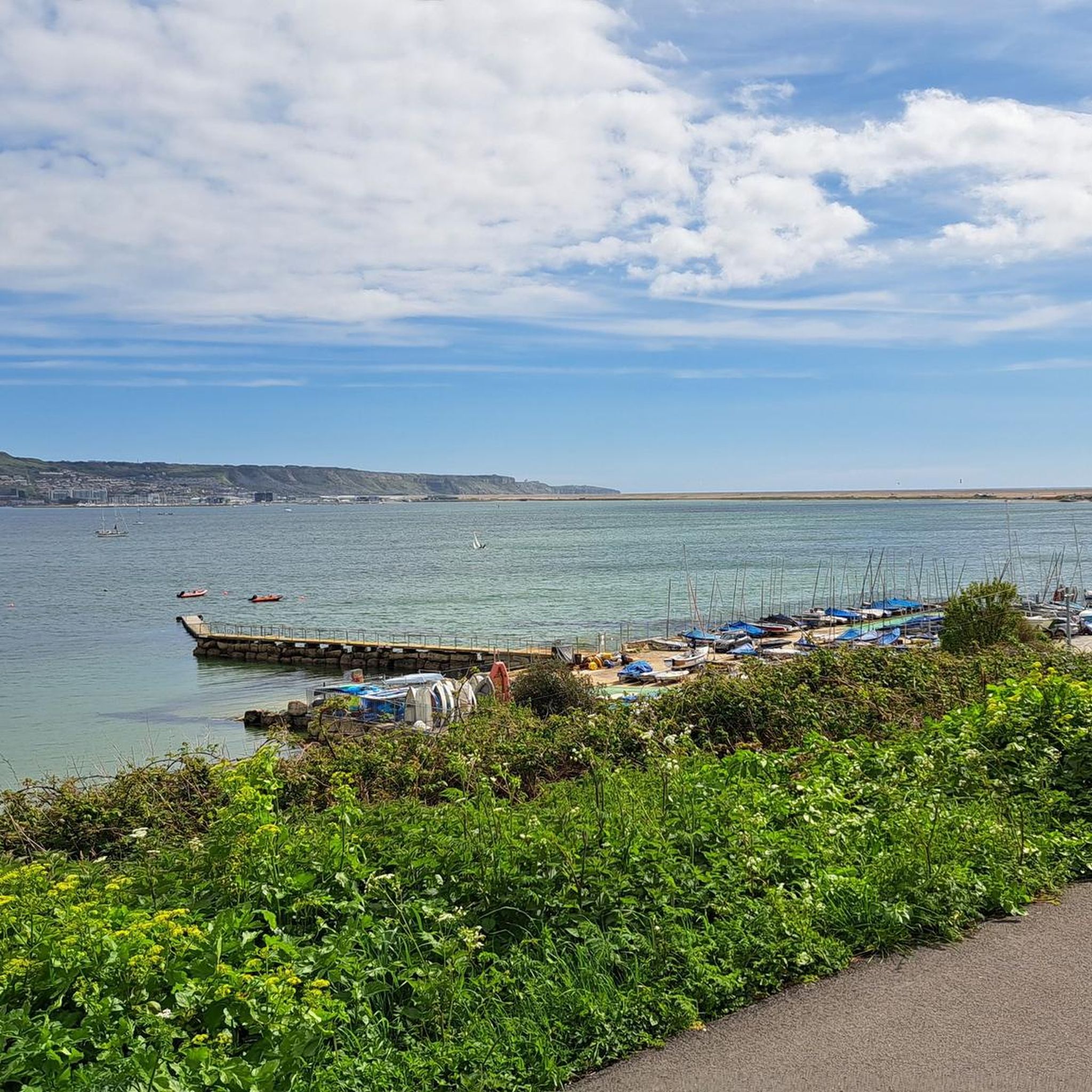
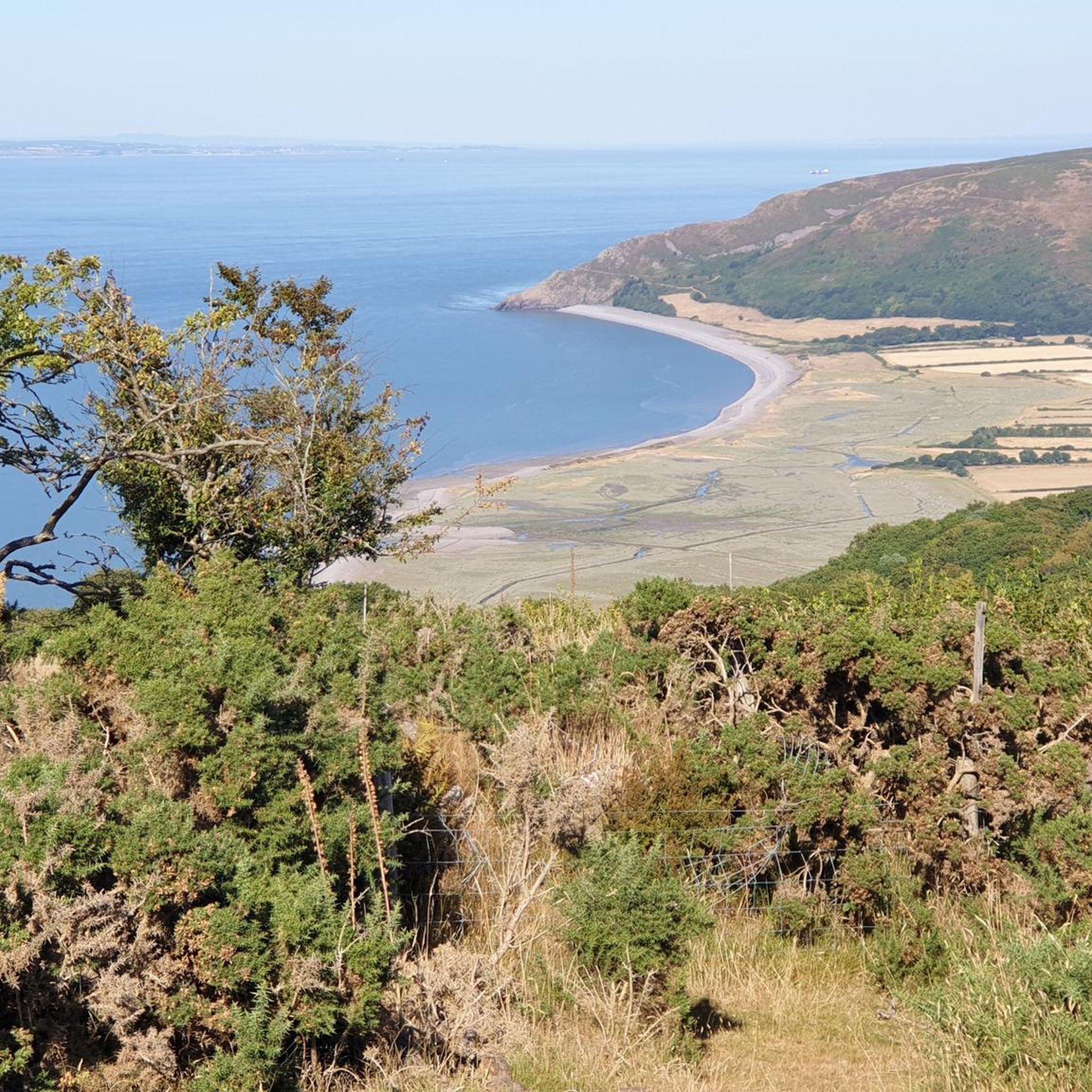
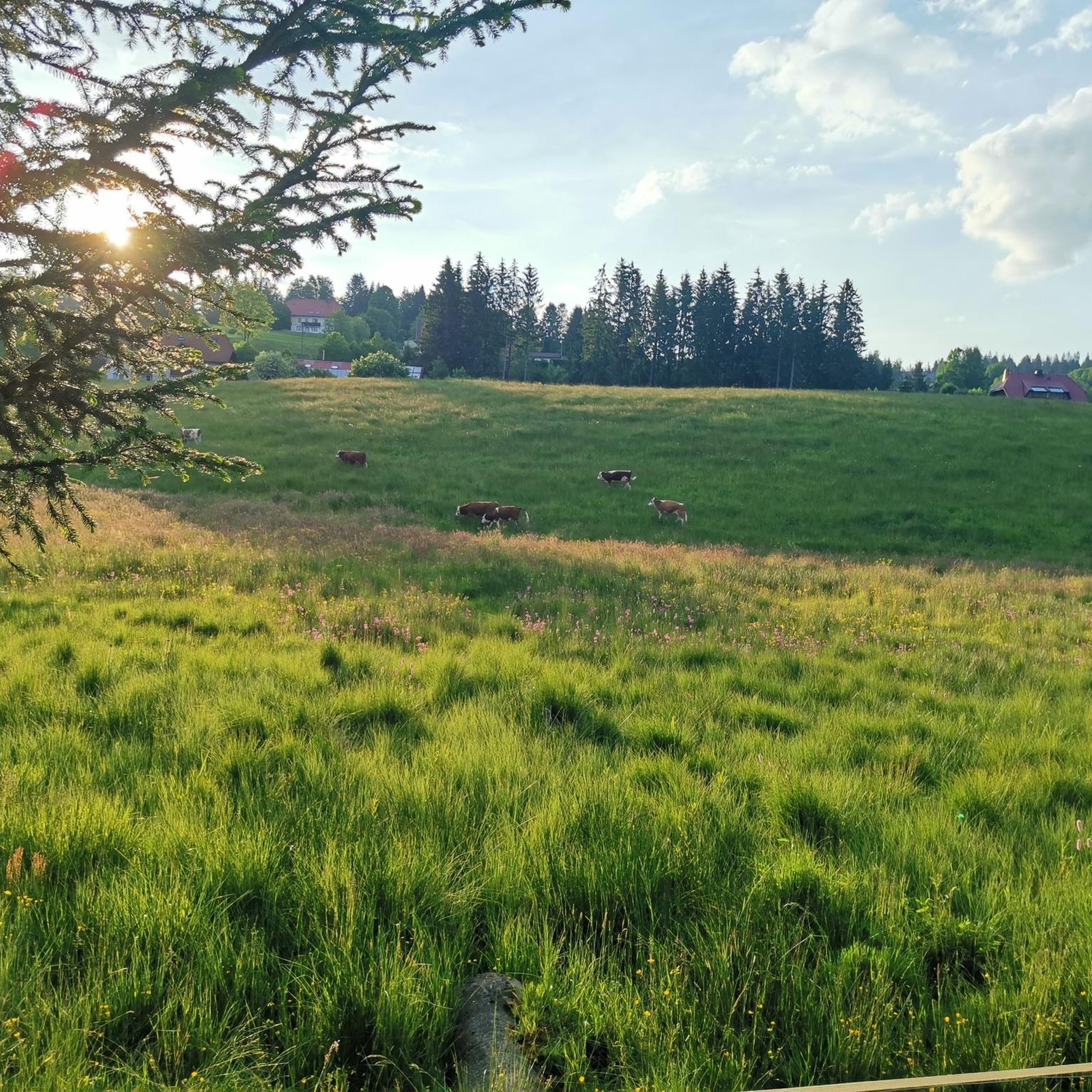
サウスサマセットでのの他の冒険


コミュニティからのヒント


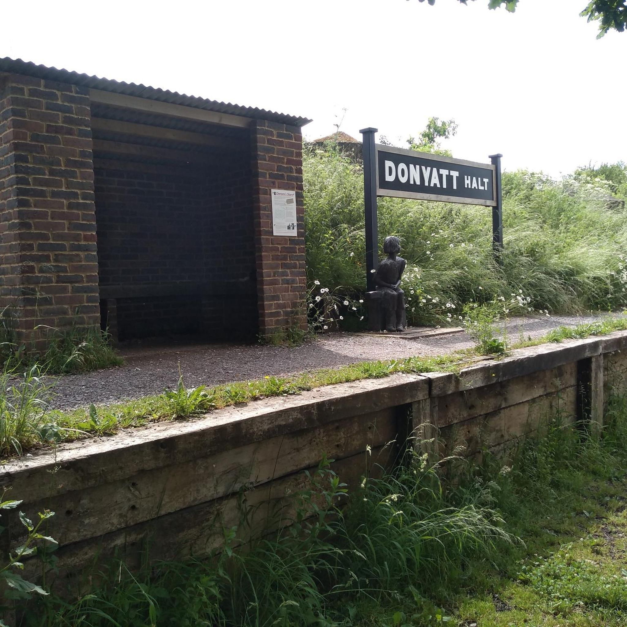
Donyatt Halt Records for Donyatt Halt state: "This halt, opened on May 5th, 1928, has a single platform edged with wooden sleepers, and a small wooden shelter. A pathway leads up from the platform to the road, which crosses the line by an overbridge at the Ilminster end of the platform. An ornate oil lamp stands at the top of the path and there are various posts with brackets for hanging oil lamps in winter." It would be the guard's duty to light and extinguish these lamps. Five trains a day operated in each direction taking about 45 minutes for the 15 - mile journey from Taunton to Chard, having made stops at Thornfalcon, Hatch, Ilton, Ilminster and Donyatt. Donyatt.com
0
0

Muchelney Abbey is a fabulous stop over!
0
0


The pub is no longer open but there is also a Post Office /Village shop in the centre.
0
0

This picturesque moated medieval castle was built in the 1370s by Sir John de la Mare. It's heavily influenced by French design and features a compact layout with four round corner towers and thick defensice walls.
2
0

The vanquishing of a royalist army in the south-west by the New Model Army further reduced the King's military capabilities and hastened his ultimate defeat. The New Model Army approached the small town of Langport from the east. It was a key bridging point where the major road from Somerton passed between two large areas of wet moorland. This was a logical place for the royalists to make a stand, or at least to try to hold up the parliamentarians in order to enable retreat, via Sedgemoor, to the port of Brridgewater. Goring sent his baggage and artillery ahead towards the port, keeping only two pieces of ordnance with the army. He then turned and marched out to the east of Langport, to face the parliamentarian army. Though he held a strong position, on high ground controlling the roads that approached the town from the east, his forces were still outnumbered and outgunned and were soon defeated. Although the royalist army was not destroyed at Langport, the defeat was to have a significant effect upon troop morale. As Goring admitted: 'the consequences of this blow is very much for there is so great terror and dejection amongst our men that I am confident at this present they could not be brought to fight against half their number’. Bridgwater fell soon after, isolating the remaining royalist garrisons in the West Country. Three alternative locations have been suggested for the battle along the Wagg Rhyne. Archaeological research by the Battlefields Trust in 2021 and 2023 indicates that the location of the battle is that registered by Historic England on either side of the B3153. The reports of these metal detecting surveys are available for download in the File Download section on the left of this webpage. Most of the landscape here is still agricultural but there has been some development, especially on the southern site, while there is continuing small scale erosion of the battlefield by small scale development right across this landscape. There is no on site interpretation or monument at the registered battlefield site, though an information board is located at Huish Episcopi on the A372. The Wagg Drove is a quiet narrow lane with verges running a little to the side of the Rhyne, giving public access across part of the battlefield. Furpits Lane, where there is some limited parking and public footpaths south east of Hamdown House and the Wagg Rhyne also enable the battlefield to be explored. The B3153 is a very busy, fast road with no verges. Although it is possible approach the point where the road crosses the Rhyne by walking along the Wagg Drove, it is not recommended to attempt to walk along the main road itself. A leaflet describing a battlefield walk at Langport can be downloaded from the panel on the left. https://www.battlefieldstrust.com/resource-centre/battleview.asp?BattleFieldId=20
0
0
サウスサマセットでのの人気観光スポット

komootモバイルアプリでインスピレーションを得よう


探していたものは見つかりませんでしたか?
サウスサマセットの下にある他のサイクリングルートをチェックして、目的地で完璧なルートを見つけましょう。
さらに探索
他の地域の最高のサイクリングルートを見てみましょう。
