ハートのおすすめツーリングルート
4.6
(179)
2,088
ライダー
186
ライド
ハートでサイクリングを楽しめば、ハンプシャーのこのエリアをより深く知ることができます。あなたにぴったりのハートでのバイクライドが見つかるように、komootがサイクリングルートのコレクション全体を評価して選び抜いたルートをご紹介します。以下のルートをクリックして標高データや舗装状態の分析などの細かな情報を把握し、さらにkomootコミュニティのメンバーがアップロードした役立つ情報や写真も閲覧しましょう。
最終更新日: 9月 13, 2026
4.9
(11)
27
ライダー
35.2km
02:08
290m
290m
Explore the moderate 21.8-mile Odiham Circular touring cycling route, featuring the historic Basingstoke Canal and charming villages.
4.2
(9)
116
ライダー
25.7km
02:16
260m
260m
難しい自転車ライド. ある程度のフィットネスレベルが必要です。 ツアーの一部で自転車を押して歩く必要があるかもしれません。

4.7
(3)
87
ライダー
17.3km
01:31
190m
200m
中程度の自転車ライド. ある程度のフィットネスレベルが必要です。 全般的に舗装された状態です。あらゆるスキルレベルに適しています。
54
ライダー
156km
10:27
1,240m
1,240m
難しい自転車ライド. 標準以上のフィットネスレベルが必要です。 ツアーの一部で自転車を押して歩く必要があるかもしれません。
5.0
(2)
70
ライダー
124km
08:00
960m
960m
難しい自転車ライド. 標準以上のフィットネスレベルが必要です。 ツアーの一部で自転車を押して歩く必要があるかもしれません。
5.0
(4)
62
ライダー
46.3km
02:47
300m
300m
中程度の自転車ライド. ある程度のフィットネスレベルが必要です。 全般的に舗装された状態です。あらゆるスキルレベルに適しています。
4.0
(4)
59
ライダー
21.5km
01:45
120m
120m
初級者向けバイクライド. あらゆるフィットネスレベルに適しています。 全般的に舗装された状態です。あらゆるスキルレベルに適しています。
4.8
(6)
61
ライダー
42.1km
02:33
300m
300m
中程度の自転車ライド. ある程度のフィットネスレベルが必要です。 全般的に舗装された状態です。あらゆるスキルレベルに適しています。
5.0
(1)
43
ライダー
108km
06:41
620m
620m
難しい自転車ライド. 標準以上のフィットネスレベルが必要です。 ツアーの一部で自転車を押して歩く必要があるかもしれません。
5.0
(1)
44
ライダー
27.5km
02:13
90m
90m
中程度の自転車ライド. ある程度のフィットネスレベルが必要です。 全般的に舗装された状態です。あらゆるスキルレベルに適しています。
さらに多くのルートや他のユーザーのおすすめ情報を確認できます。
すでにアカウントをお持ちですか?
おすすめのツアーは他のkomootユーザーが実際に経験した何千ものアクティビティに基づいています。


コミュニティからのヒント

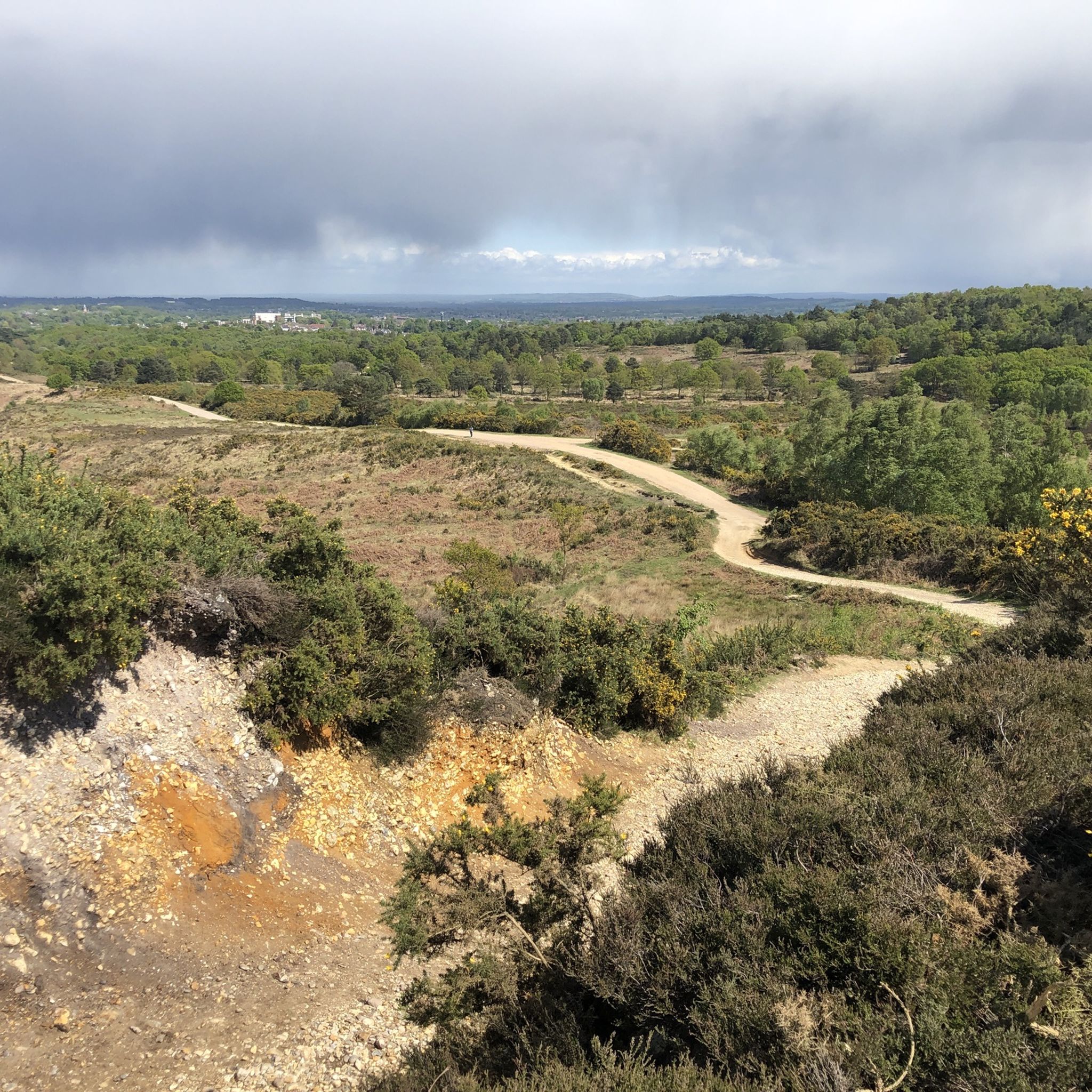
メインのトレイルを越えると、静かで砂地の馬車道と低い路地の迷路がDevil's Punch Bowlを取り囲んでいます。これらのシングルトラックルートは近くのThursley Commonに接続し、ハイカーから離れた平和でテクニカルな地形をマウンテンバイク愛好家に提供します。
0
0


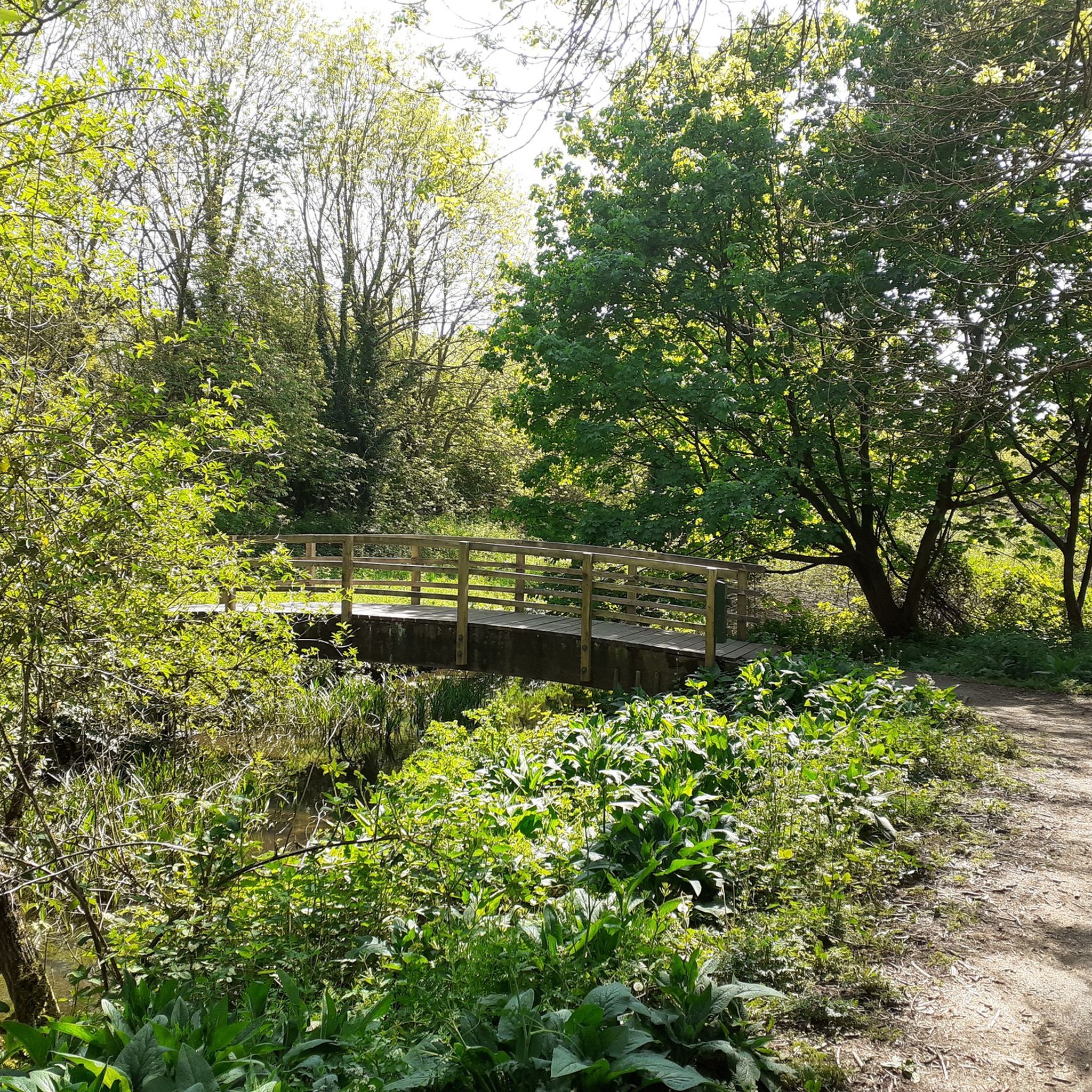
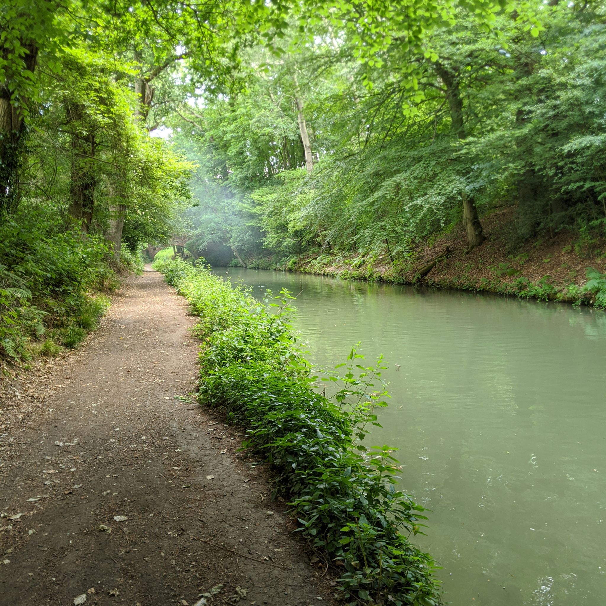
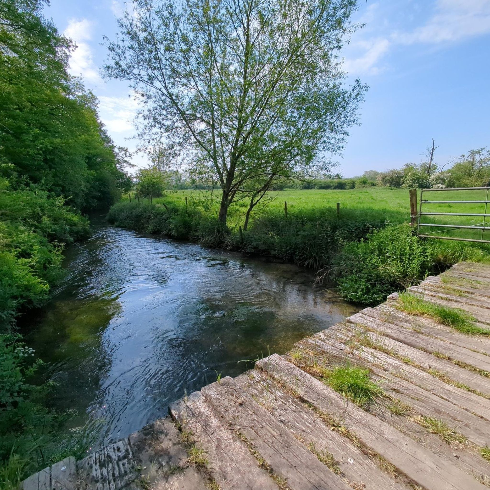
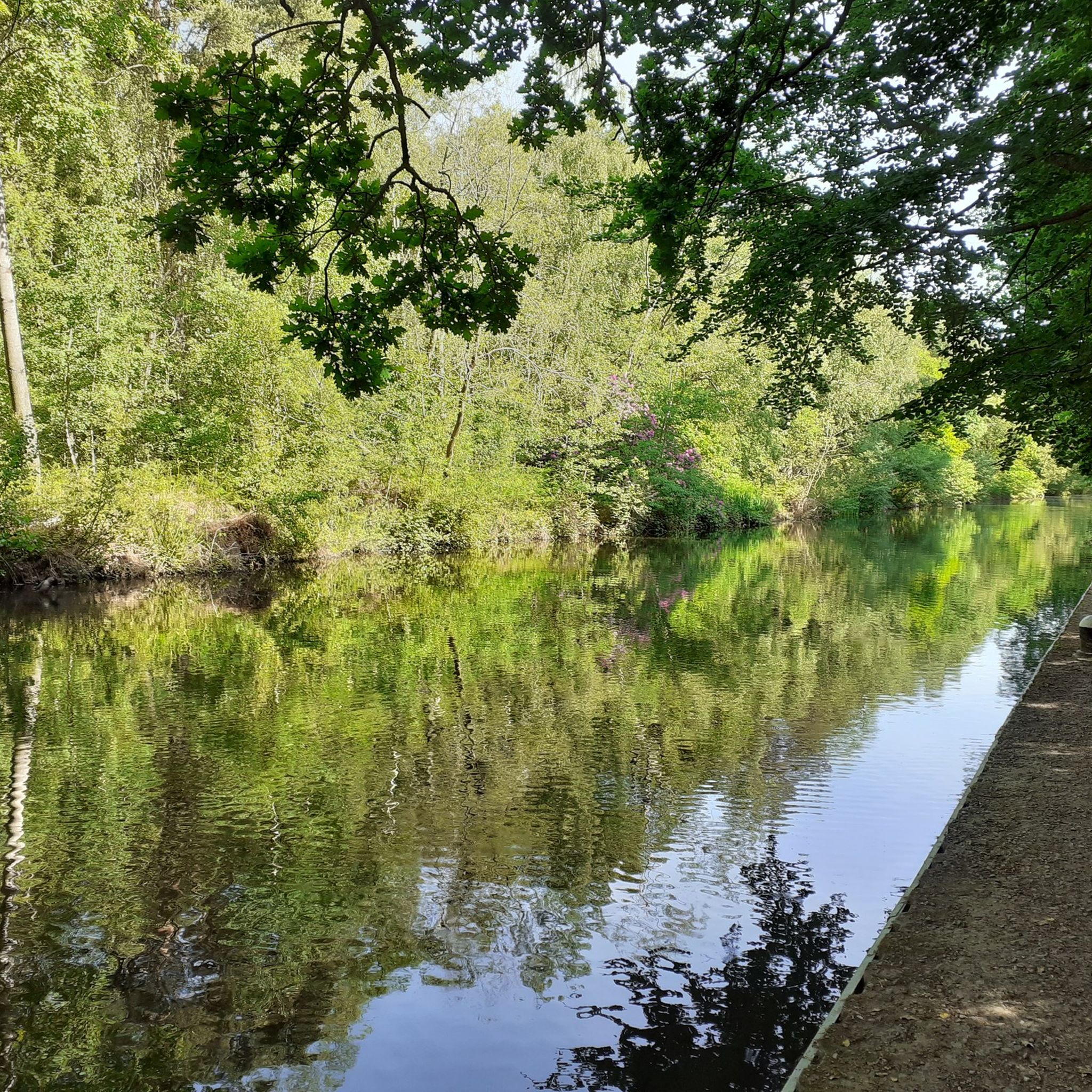
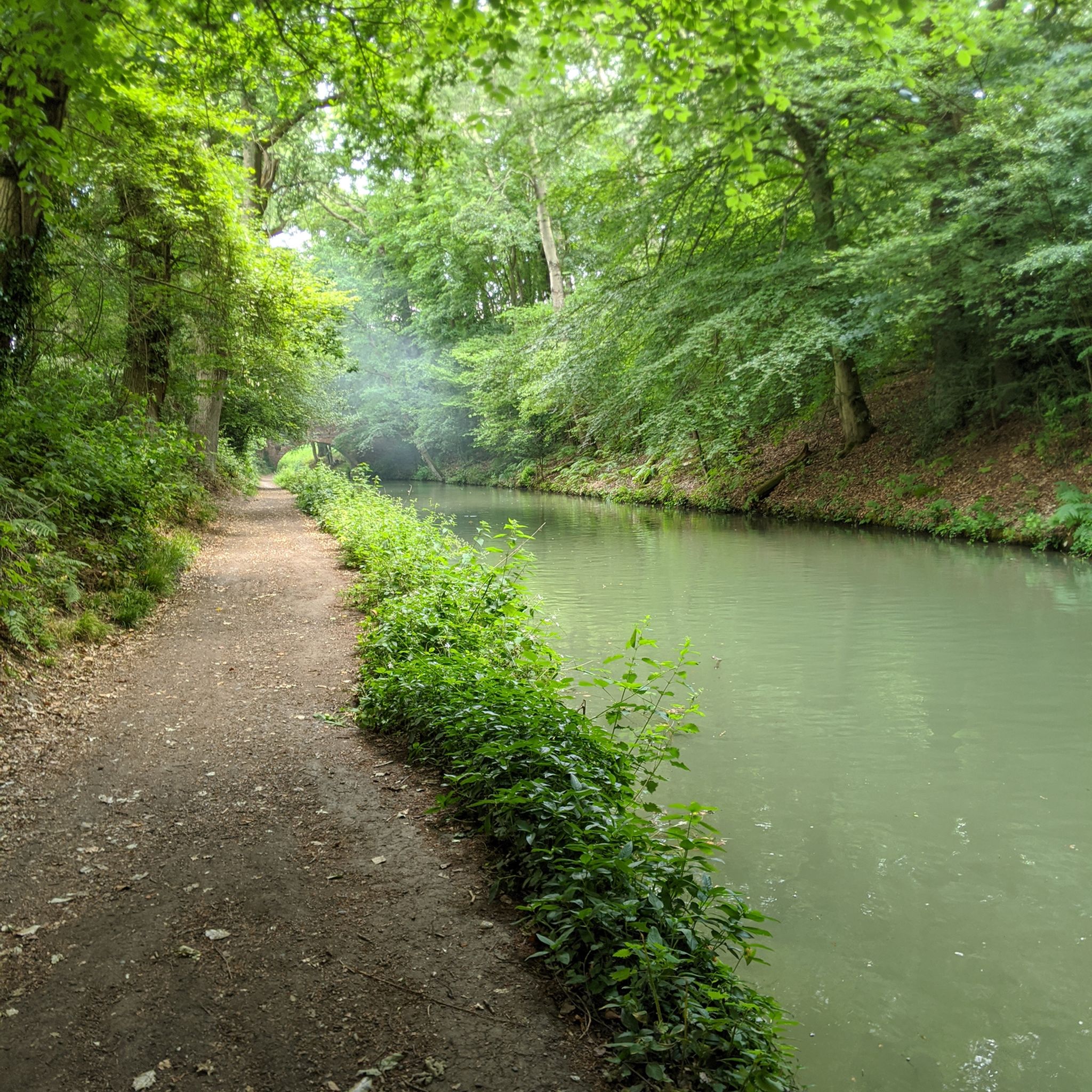
休憩したい場合に最適な場所です。ベイジングストーク運河は、絵のように美しい素晴らしいライドです。
0
0

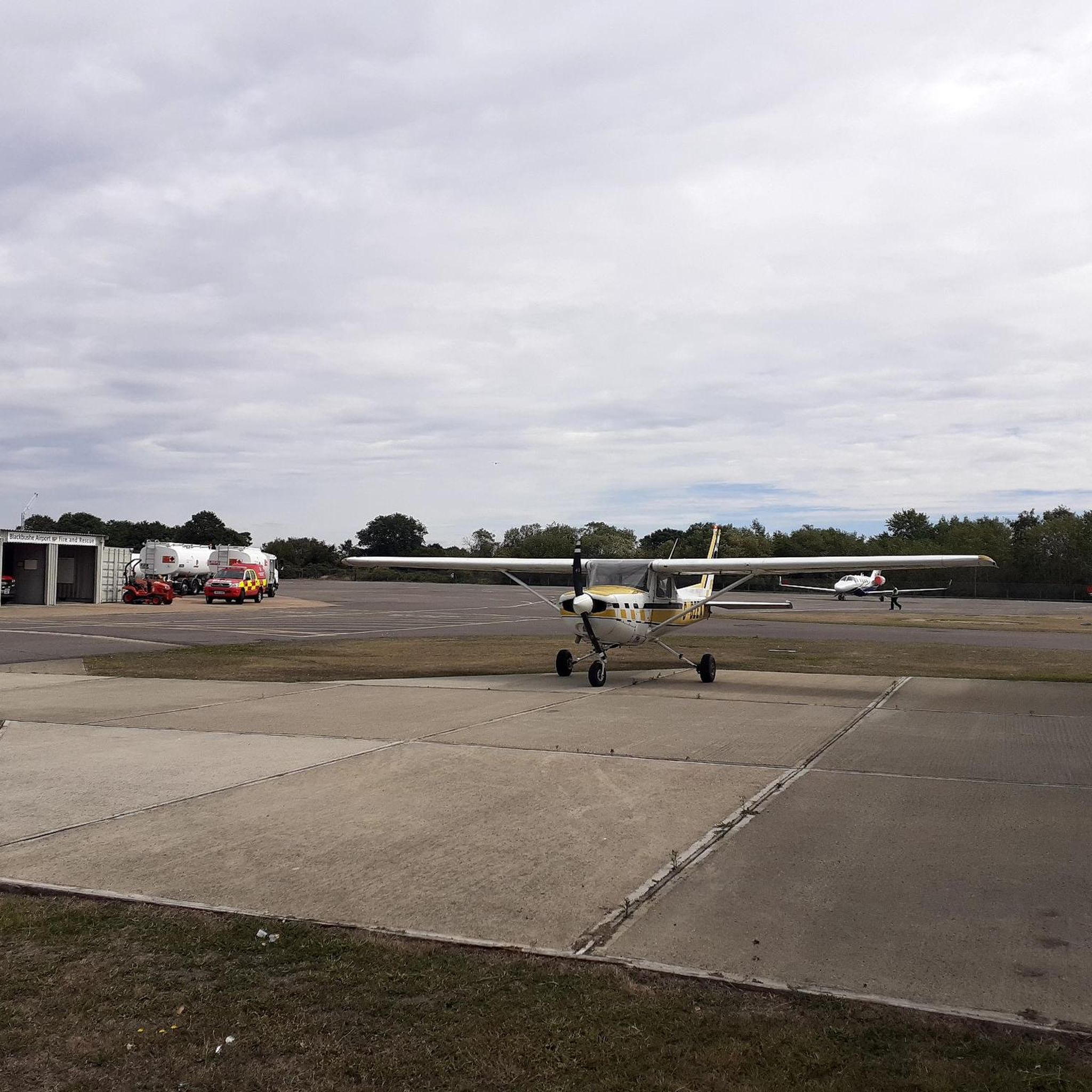
view of Farnborough airport. lots of seats and great place to think
0
0
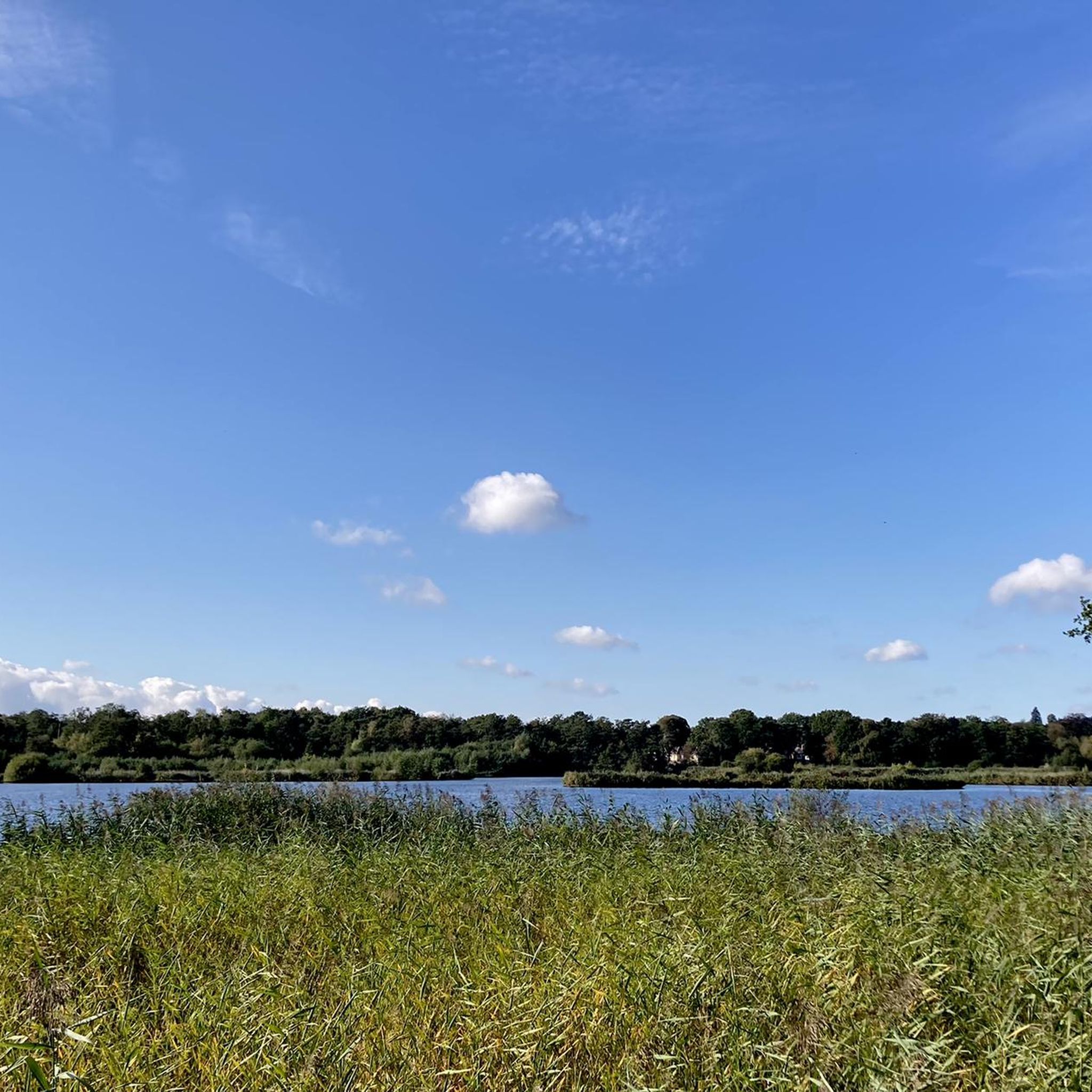
Nice peaceful spot, although there are no facilities or coffee shops in the immediate vicinity.
0
0

All cyclists are able to pass the toll bridge for free
0
0

Christchurch Bridge is one of those post-2010 structures that still looks vaguely futuristic if you squint through the drizzle, all brushed metal and angled cables, stretched over the Thames like someone thought Reading needed a statement piece on a budget. Built in 2015 to connect the town centre with the north bank, it was meant to be a step toward sustainable transport. These days, it’s more of a tactical crossing point. At 138 metres long, it offers a decent line across the water, provided you can navigate the walkers, the slow, unpredictable pedestrians who drift across both lanes like confused drones. They’ll stop dead, veer diagonally, or pull a 180 with no warning. Bells are useless. Polite coughs do nothing. Try “on your right” and you’ll get a sideways glance that says, “You chose threat.” The bridge itself is solid, no major structural issues, not yet, and the view isn’t bad if you’re into Reading riverside aesthetics or watching trains roll by in the middle distance. There’s usually a breeze, and sometimes the air carries a strange scent, incense and diesel or something like that, perhaps old factories nearby were smouldering. Two wheels have to treat the crossing like an obstruction. You ride steady, but ready, always prepared to dodge a wayward commuter or canine unit on a retractable leash stretched to trip-wire length. There’s no room to be indecisive, and definitely no time for mid bridge photo shoots unless you’re ready to become a cautionary anecdote. The incline is gentle, but if you’re hauling supplies or riding on a loaded frame, you’ll feel it by the halfway mark. Still, it’s a crucial part of the west-east route along the Thames Path. If you’re avoiding roads and staying off-grid, this bridge is your best shot across the river without backtracking for miles. At dawn or dusk, you might get lucky and cross it clean, no walkers, no noise, just the creak of your drivetrain and the water below, quiet and grey. At peak times, though, it’s a gauntlet. Urban survival, one careful pedal stroke at a time.
0
0
I arrived at the old station, having to ride out a few kilometers west to the Vastern Road area near the river in Tilehurst. The signage appeared to pretend this was a gateway to somewhere worth going. Stainless steel fixtures dulled by time, built in that sleek late-capitalist optimism style. Fake clean. Surveillance cameras blinked overhead — working or not, who knows. I pushed past the bins that no longer had lids, down the cracked concrete that once passed for a plaza, heading toward the river path. The concrete there was smooth once. Still is, in patches. But it’s slick with algae now, and streaked with goose scat. Probably goose. Definitely not rain. The roundabouts were relentlessly busy — or at least that’s how it felt. Zs in battered cars circled endlessly, tires scraping the cracked concrete like it was a ritual. But sometimes, between the noise and the haze, I caught glimpses of something else — distant echoes of old festival revellers, laughter and music bouncing off the concrete barriers, a fading pulse beneath the relentless circling. The lines between past and present blurred, the city’s decay tangled with memories of better days. The traffic spun on, a ceaseless loop of movement and stillness sharing the same broken rhythm. The goose scat got thicker past the bridge. Sometimes it’s dry and crunchy under tires. Sometimes it’s wet, and that’s worse. The path dips unexpectedly. Puddles collect. There’s no drainage. There’s no budget for real upkeep or sustainable transport improvements. No plan to make this path anything more than a patchwork for cyclists and pedestrians to navigate as best they can. But even along the Thames, there are occasional stretches that hint at something better — patches where the breeze is fresher, the water glimmers, and for a moment, the city’s weight feels a little less crushing. Ahead, the suspension bridge hung like a relic of better speeches. A millennium structure. Another optimistic gesture. It still worked. Locals crossed it daily — crackles, Zs, traders moving quietly, heads down, eyes flicking up just long enough to check you weren’t a threat. It’s a corridor now, not a landmark. A place to move through, not think about. I wasn’t there to scavenge. Not that day. This was about securing reliable wheels for the group. The vehicle was a pre-EV Golf — Mk7.5, diesel, with a recently renewed DSG transmission. Someone had actually taken care of it. That counted for something. The Golf was cached in a cul-de-sac just past the edge of the river path, in an old industrial area that had slipped into decay even before things broke down. Rusted loading bays and cracked tarmac replaced what might once have been a hive of activity. The map said number 12 — red brick, side garage. It was all still there. Tires a bit soft, one headlight lens fogged, but otherwise intact. Luck, or good planning. Hard to tell anymore. The tow ball rear Thule rack was still intact, making it easy to strap the pushbike recon unit on for the ride back. I checked the interior. No needles, no surprises. Just a stale whiff of diesel mixed with an old Halfords air freshener trying to remember what “Black Ice” was supposed to smell like. The keys were where they’d said — taped behind the fascia of the old electric meter box. I started the engine. It turned over like it had something left to prove. For the first time in a while, I wasn’t pushing a bike through river shit or dodging scooter gangs in shopping centre undercrofts. I was behind the wheel, with four functioning tires and a full tank of unknown provenance. That’s mobility. That’s currency. The Golf pulled away slow but steady. DSG shifted like a rumour — not smooth, but competent. I took the long route back through side streets and forgotten service roads, staying off-grid. Past boarded shops, sagging bus shelters, and those weird chalk sigils some of the smaller sects have started leaving on the kerbs. No one stopped me. No one even looked up. This wasn’t a supply run. This was infrastructure repair. Quiet, vital work. And for now, at least, we had wheels.
0
0
ハートでのの人気観光スポット

komootモバイルアプリでインスピレーションを得よう


探していたものは見つかりませんでしたか?
ハートの下にある他のサイクリングルートをチェックして、目的地で完璧なルートを見つけましょう。
さらに探索
他の地域の最高のサイクリングルートを見てみましょう。
