サムナンジャー周辺のアトラクション&必見スポット - トップ20
サムナンジャーには必見のスポットがたくさんあります。ハイキング愛好家やサイクリング愛好家の方は、ぜひサムナンジャーを探索してこのエリアにある20
の隠れたスポットを訪れてみてください。このエリアの必見スポットを確認し、次の冒険に出かける計画を立てましょう。
最終更新日: 10月 11, 2026
オストレイ橋
ハイライト • 橋
The Osterøy Bridge is a 1,065-metre (3,494 ft) long suspension bridge that has a main span of 595 metres (1,952 ft). There are 8 spans, and none of …
原文を表示中
•
役立つ情報 は

Hauggjelsvarden山頂
ハイライト • 山頂
翻訳者 Google •
役立つ情報 は

今すぐサインアップして、こんな場所を発見しよう
最高のシングルトラック、ピーク、その他のエキサイティングなアウトドアスポットのおすすめを受け取ろう。
ヴィッデン・トレイル
ハイライト (セグメント) • トレイル
翻訳者 Google •
役立つ情報 は

ローネ・キャンピング
ハイライト • 休憩所
翻訳者 Google •
役立つ情報 は

Skåldalsnipa山頂
ハイライト • 山頂
After that the terrain becomes more boggy and the path is not easy to find …
翻訳者 Google •
役立つ情報 は

無料でサインアップして、さらに多くの観光スポットを発見しましょう サムナンジャーでの。
すでにアカウントをお持ちですか?
無料アカウントで今日から始めよう
次の冒険が待っています。
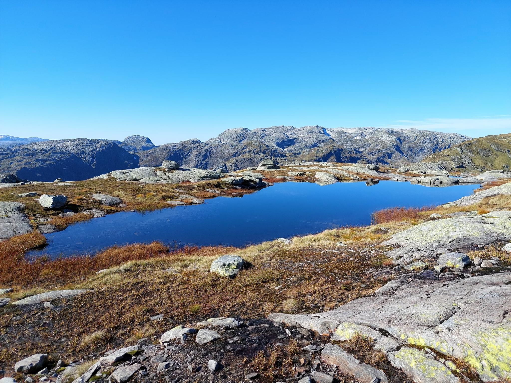
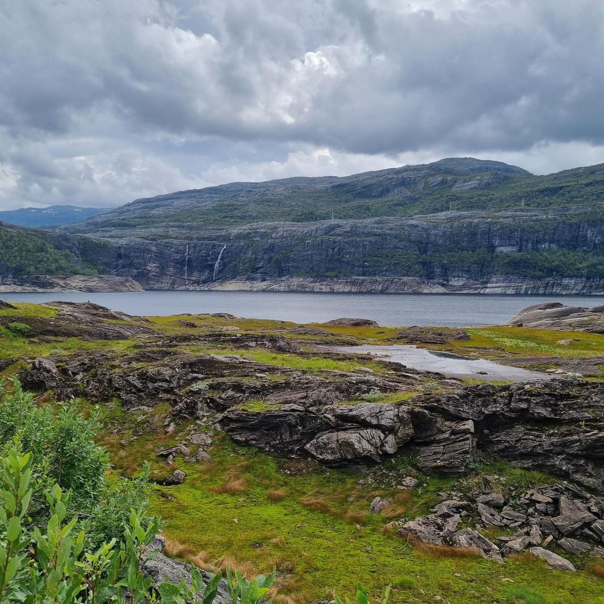
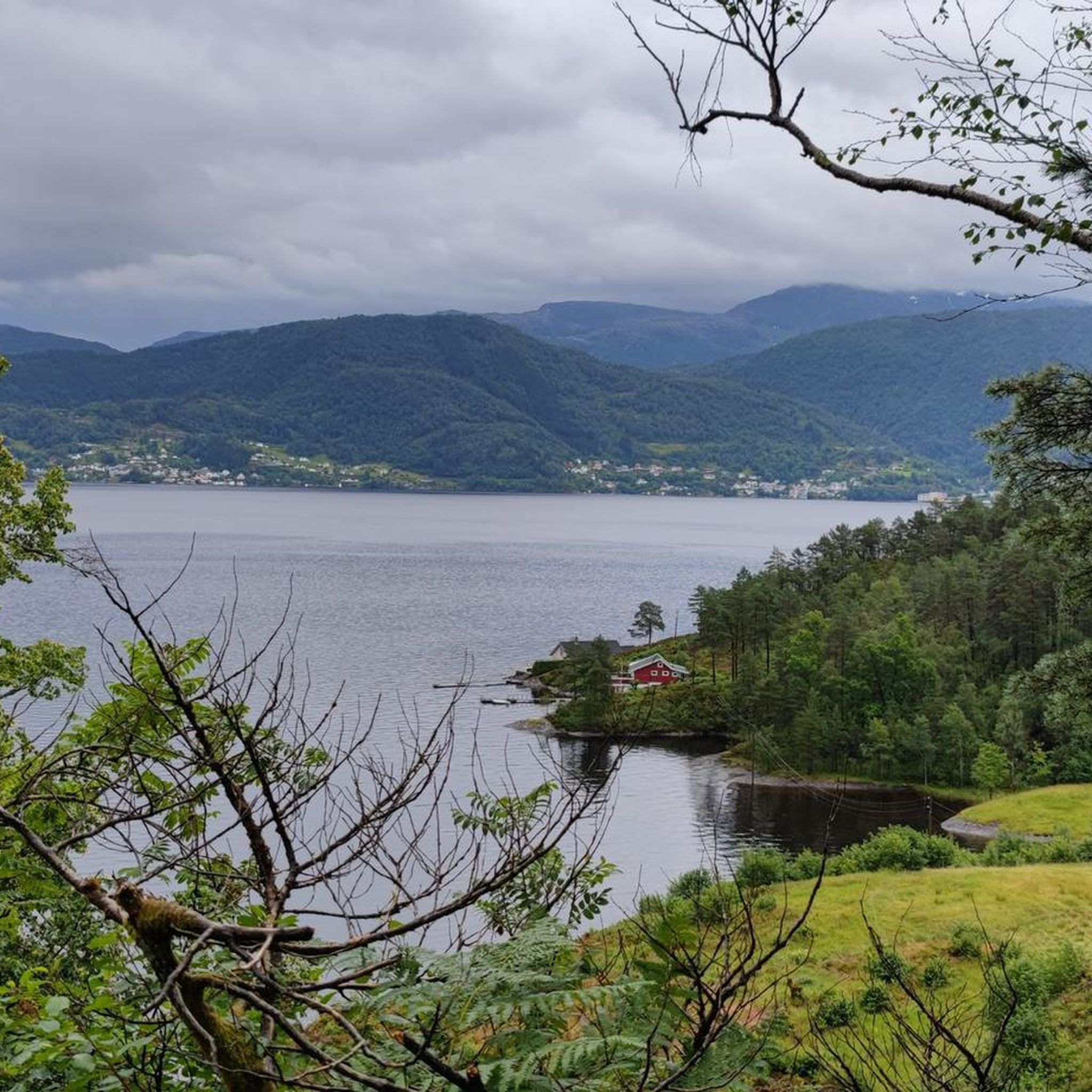
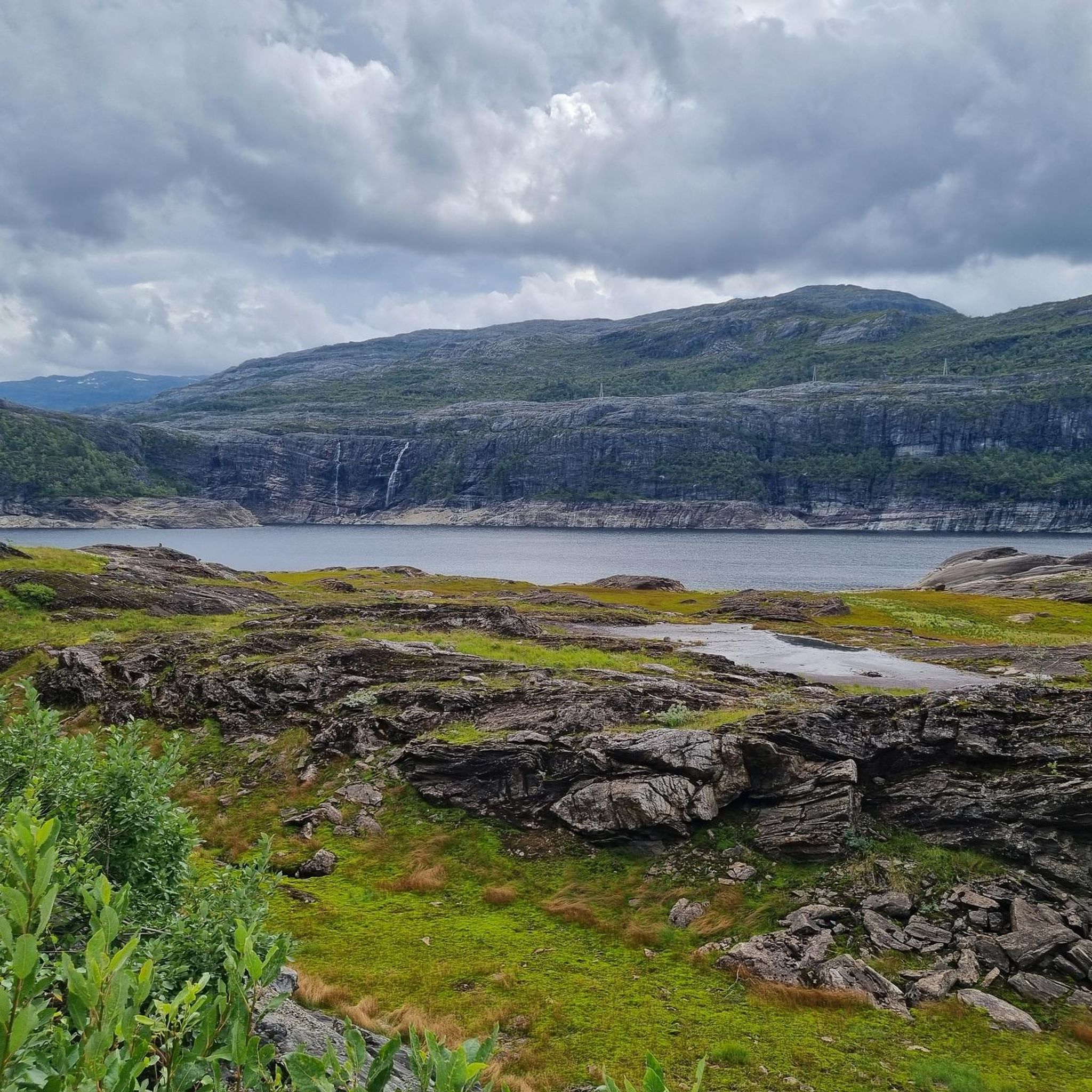

コミュニティからのヒント

📍 スタート/ゴール: Ulriksbanen (Ulriken) → Fløyen → ベルゲン市内。最も便利な方法は、Ulriken側から登り、コースの終わりにFløibanenケーブルカーで下ることです。 🥾 ルート: UlrikenとFløyenの間のVidden高原 – 約15kmのトレッキングで、泥炭地、岩、氷河湖、荒々しいノルウェーの尾根を通過します。 ⏱️ 時間: 公式には約5.5時間ですが、休憩、写真撮影、悪天候を考慮すると、実際には6〜8時間を見込むのが良いでしょう。私たちには合計7時間かかりました。 🧭 区間: Ulrikenへの登りが最も大変な部分です。特に1333段の石段であるOppstemtenを通る徒歩ルートの場合です。その後、ルートは多くの小さな登り下りがある開けた高原を通り、Fløyen近くの最後の区間はより森が多くレクリエーションエリアに変わります。 💡 ヒント: Viddenは技術的に難しいルートではありませんが、GPSまたはオフラインマップを用意しておくことを強くお勧めします。視界が悪く、脇道が多い場合、特にUlrikenの頂上から下りた後やFløyen周辺では、方向感覚を失いやすいです。 役立つ情報はこちら: https://szlakmnietrafi.pl/vidden-trail/
0
0

The location and the water view are fantastic. Clean restrooms. Absolutely top-notch!
0
0

Hauggjelsvarden is a lesser-known but worthwhile peak in the Bergen region. Once at the top, a tranquil spot awaits with sweeping views over green valleys, shimmering fjords, and the surrounding mountain ranges. The summit marker and the open landscape invite you to take a break and fully enjoy the Nordic nature. Those looking for a scenic hike away from the hustle and bustle of the tourist crowds will find it here.
4
0

Beautiful view from the Skåldalsnipa summit and the path up there is steep but firm. After that the terrain becomes more boggy and the path is not easy to find as it is heavily overgrown. However, it is mostly flat. (Waypoint 1 to 2) The rest is easy to do. We would only recommend the hike to the summit. Otherwise you need to have good shoes with you so that you don't get wet socks.
0
0

We did a four week trip through Scandinavia. The parking space was one of the most beautiful we have come to and is highly recommended 👍
1
0


Very nice, located on the lake campsite, good bus to Bergen.
4
1

The Vidden Trail connects the two mountain stations of the Ulriken cable car and the Floyen Schrägbahn. On the plateau you can train beautiful uneven terrain and always has beautiful views. It's best to start at Ulriken and hike to Floyen. Arriving at Floyen, a wonderful panoramic terrace awaits you with very nice views over Bergen.
0
0
サムナンジャーでのの人気観光スポット

komootモバイルアプリでインスピレーションを得よう


さらに探索
まだ探しているハイライトが見つかりませんか?他の地域のトップアトラクションのガイドを見てみましょう:
