穴のおすすめランニングルート
4.8
(6)
789
ランナー
18
ランニング
穴でランニングを楽しめば、このエリアをより深く知ることができます。ランニングに適した美しいルートが見つかるように、komootが穴でのルートのコレクション全体を評価して選び抜いた、人気ランニングトレイルをご紹介します。ルートをクリックして詳細を表示し、他のユーザーがアップロードした役立つ情報や写真を閲覧しましょう。
最終更新日: 8月 20, 2026
164
ランナー
10.4km
01:05
70m
70m
中程度のジョギング. ある程度のフィットネスレベルが必要です。 全般的に舗装された状態です。あらゆるスキルレベルに適しています。
160
ランナー
13.5km
01:28
130m
130m
中程度のジョギング. ある程度のフィットネスレベルが必要です。 全般的に舗装された状態です。あらゆるスキルレベルに適しています。

無料新規登録
16
ランナー
13.2km
01:29
150m
150m
中程度のジョギング. ある程度のフィットネスレベルが必要です。 全般的に舗装された状態です。あらゆるスキルレベルに適しています。
11
ランナー
5.42km
00:38
30m
30m
中程度のジョギング. ある程度のフィットネスレベルが必要です。 全般的に舗装された状態です。あらゆるスキルレベルに適しています。
16
ランナー
9.49km
01:17
410m
410m
難しいジョギング. 標準以上のフィットネスレベルが必要です。 全般的に進みやすいルートです。一部で、安定して歩行できる技術が必要です。
さらに多くのルートや他のユーザーのおすすめ情報を確認できます。
無料新規登録
すでにアカウントをお持ちですか?
おすすめのツアーは他のkomootユーザーが実際に経験した何千ものアクティビティに基づいています。
無料アカウントで今日から始めよう
次の冒険が待っています。
ログインまたは登録

コミュニティからのヒント

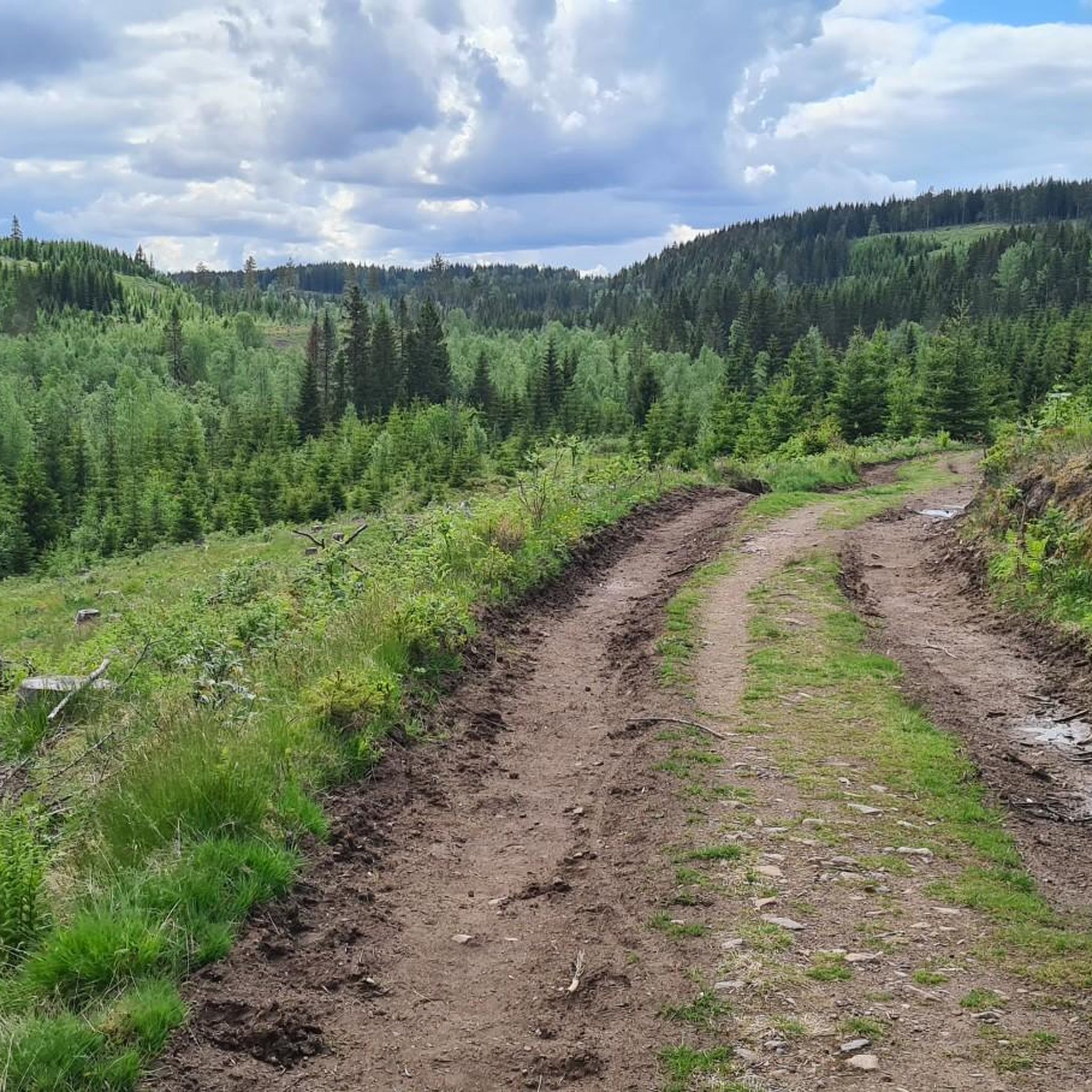
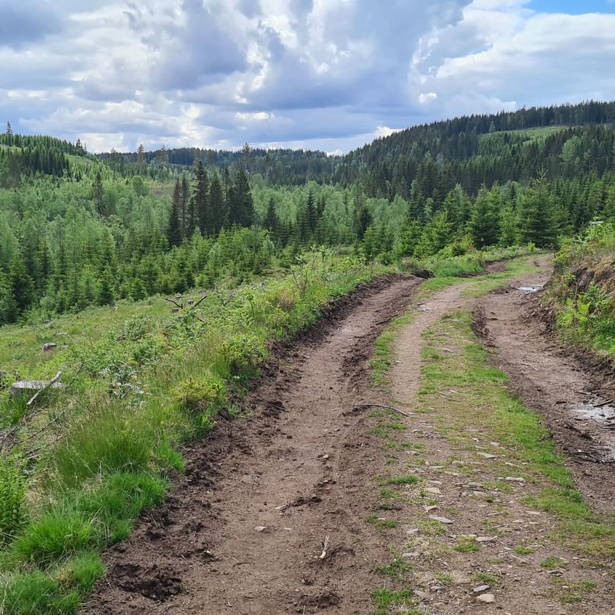
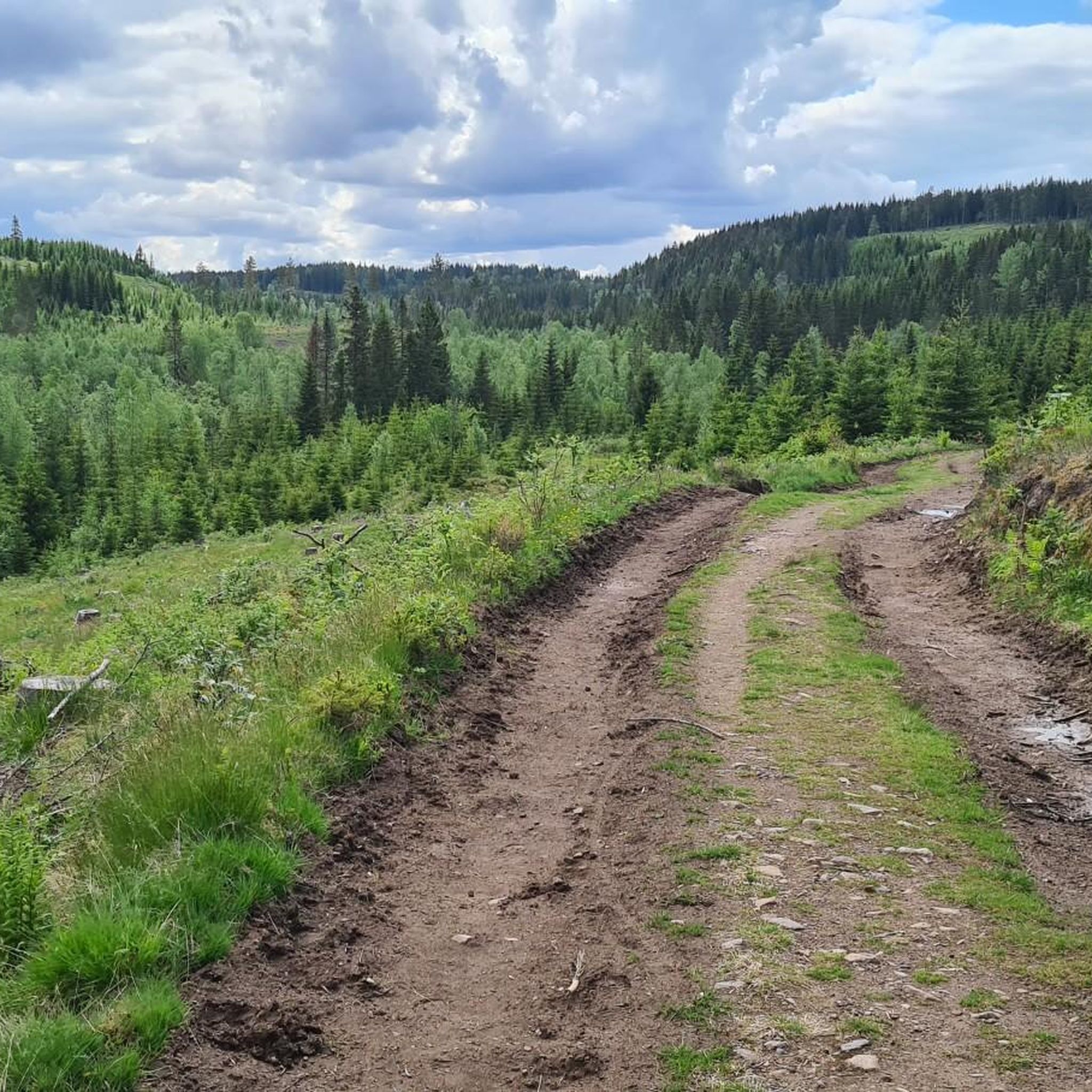
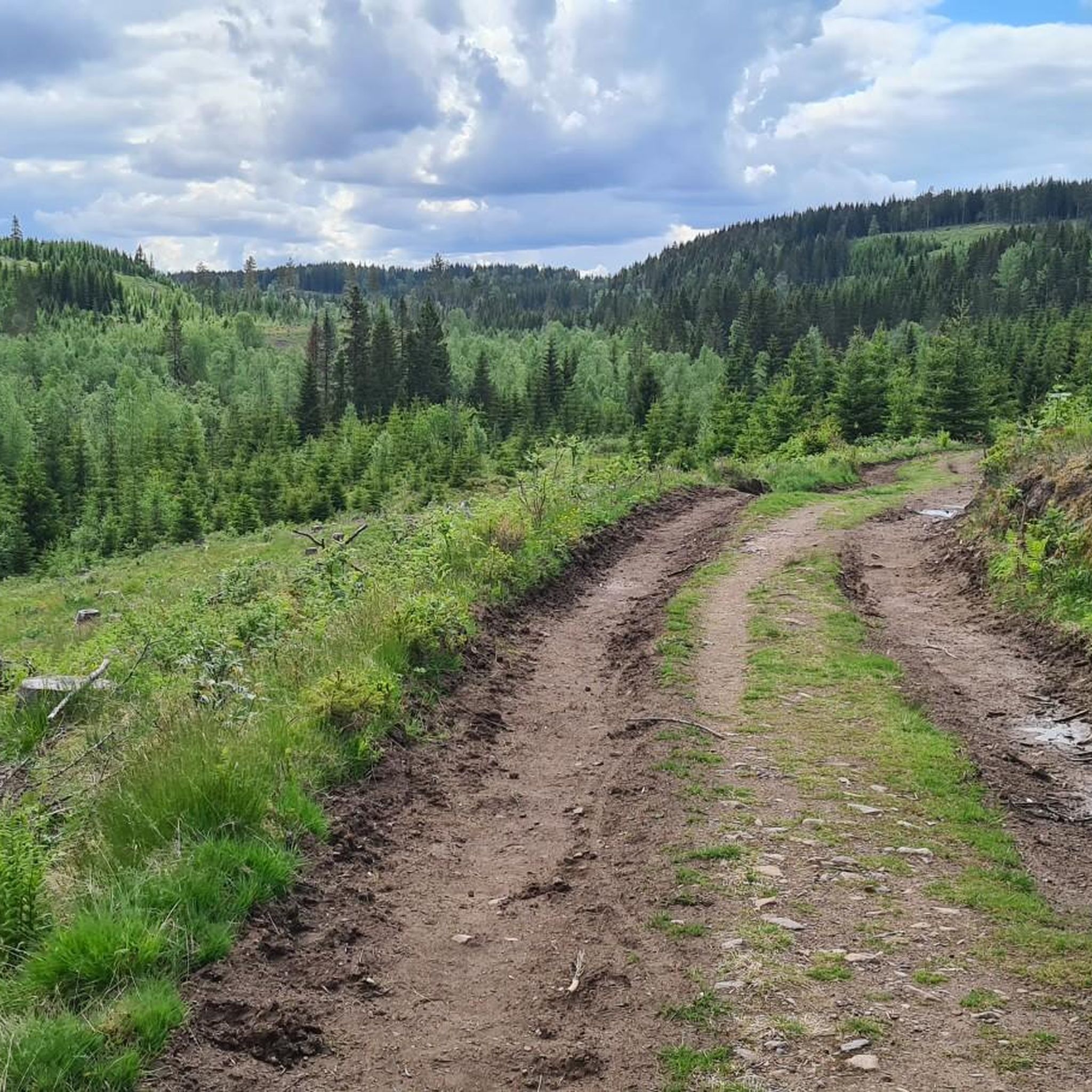
ヘルゲランズモエンの森のトレイルは、誰にとっても本当に良い場所です。実際、よく整備されたトレイル、快適な小道、そして道路区間があり、ほぼ完璧です。ほとんどの人にとってアクセスしやすく、ハイキングやランニングに美しい森の環境を提供します。
0
0

A great rest area right next to Kongens Utsikt. Here you'll find a covered bench, which also serves as a shelter for the night if necessary.
7
0

A beautiful vantage point overlooking the fjord. From the hiking parking lot at the hotel, it's a short hike that's also doable with children.
4
0
Great vantage point overlooking the fjord. There are plenty of benches and an emergency shelter. There is currently a forest fire risk, as at least the signs on site warn of this.
3
0

Tyrifjorden is a picturesque inland lake in the Viken county in southeastern Norway, located about 40 kilometers northwest of Oslo. With a surface area of approximately 139 km², it is the fifth largest lake in the country and has an impressive volume of over 13 km³. The lake's deepest point reaches 295 meters. The region around Tyrifjorden is popular for recreational activities such as hiking, camping, swimming, and fishing. The flora and fauna are also diverse, making it an attractive destination for nature lovers.
0
0

The view is outstandind. One of the best in the whole region, photos do not give justice to it.
0
0

A "royal view" is actually offered here! Stunning!!!
4
0

Kongens Utsikt - the royal lookout point - is 484 meters above the Tyrifjorden and Steinsfjorden lakes. From here you have a great view over large parts of Ringerike and Hole. King Karl Johan visited this place in 1832, from which the name is derived.
0
0
穴でのの人気観光スポット

komootモバイルアプリでインスピレーションを得よう


さらに探索
他の地域の最高のランニングトレイル & ルートを見てみましょう。
