ヴァッレ周辺のアトラクション&必見スポット - トップ20
ヴァッレには必見のスポットがたくさんあります。ハイキング愛好家やサイクリング愛好家の方は、ぜひヴァッレを探索してこのエリアにある20
の隠れたスポットを訪れてみてください。このエリアの必見スポットを確認し、次の冒険に出かける計画を立てましょう。
最終更新日: 8月 31, 2026
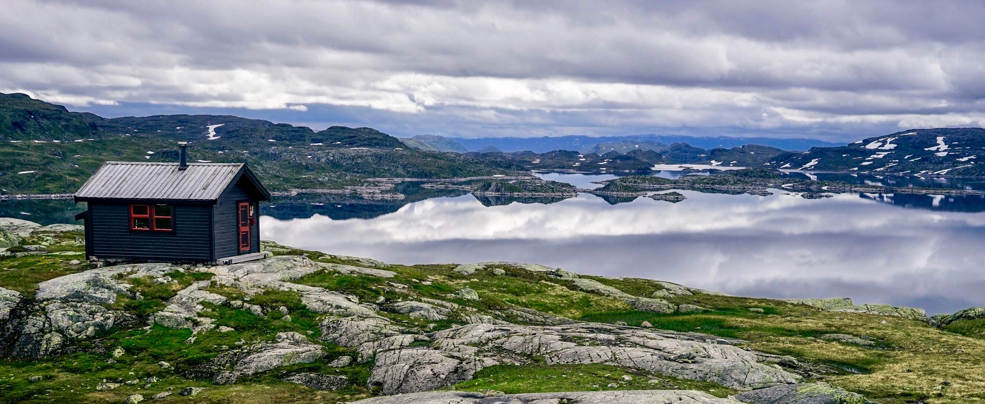
ボスブー小屋(ボトンスヴァトネ湖畔)
ハイライト • 山小屋
翻訳者 Google •
役立つ情報 は

ホムフェレット山頂
ハイライト • 山頂
翻訳者 Google •
役立つ情報 は

今すぐサインアップして、こんな場所を発見しよう
最高のシングルトラック、ピーク、その他のエキサイティングなアウトドアスポットのおすすめを受け取ろう。
無料新規登録
スタヴブロッカ峠
ハイライト (セグメント) • 山道
翻訳者 Google •
役立つ情報 は
オトラ川にかかる橋
ハイライト • 橋
翻訳者 Google •
役立つ情報 は

Byklestigen南側駐車場とトイレ
ハイライト • 駐車場
翻訳者 Google •
役立つ情報 は

無料でサインアップして、さらに多くの観光スポットを発見しましょう ヴァッレでの。
無料新規登録
すでにアカウントをお持ちですか?
無料アカウントで今日から始めよう
次の冒険が待っています。
ログインまたは登録

コミュニティからのヒント

川Otraの上に、見た目が同じ橋が2つ並んでいます。真ん中には小さなミニ島があります。
0
0

On the ascent, the additional loop marked halfway up with magnificent views is worth it. It adds about 30 minutes. Caution! The summit elevation is incorrectly listed on Komoot. The summit is at 950 m, not the stated 850 m. Shortly before reaching the E9, you can turn right onto a forest path, which connects to a trail. This leads to the starting point. This saves you a few hundred meters of paved walking on a busy road.
0
0

There's a small parking lot at the northern starting point. There's a public outhouse at the southern starting point. The road that bypasses the tunnel is impassable due to the risk of rockfalls. However, you'll reach the road halfway through the hike and have to follow it.
0
1

Otra Bridge is a cool wooden swing bridge that crosses the River Otra. It's pretty skinny, so single file only and watch out for other users, but it's a fun crossing with great views on both sides.
0
0

Just stop when you're passing through and walk the short historical circular route. Signs explain the history, even in German. There are also public toilets at the small parking lot.
2
0

East side gets more traffic than west side, but not excessively either. Further south the other way around
0
0


Here on the plateau, there are good opportunities for pitching a tent for the first time. Tent pegs hold on to the small bushes.
1
0
ヴァッレでのの人気観光スポット

komootモバイルアプリでインスピレーションを得よう


さらに探索
まだ探しているハイライトが見つかりませんか?他の地域のトップアトラクションのガイドを見てみましょう:
