ブランケンベルヘのおすすめMTBライド
4.3
(85)
1,121
ライダー
37
ライド
ブランケンベルヘ周辺には魅力的なマウンテンバイクルートがいくつもありますが、冒険を始めるにはその場所とルートを把握する必要があります。ここでは、komootが提供するブランケンベルヘ周辺でのマウンテンバイクルートのコレクション全体を評価して選び抜いた、人気ルートをご紹介します。各ライドの詳細をぜひご覧ください。
最終更新日: 10月 4, 2026
3.9
(7)
96
ライダー
41.6km
02:15
70m
70m
中程度のマウンテンバイクライド. ある程度のフィットネスレベルが必要です。 あらゆるスキルレベルに適しています。
4.3
(8)
66
ライダー
47.1km
02:42
70m
70m
中程度のマウンテンバイクライド. ある程度のフィットネスレベルが必要です。 高度なライディングスキルが必要です。

5.0
(3)
31
ライダー
37.2km
02:10
80m
80m
中程度のマウンテンバイクライド. ある程度のフィットネスレベルが必要です。 あらゆるスキルレベルに適しています。
3.0
(1)
24
ライダー
39.5km
02:12
40m
40m
中程度のマウンテンバイクライド. ある程度のフィットネスレベルが必要です。 高度なライディングスキルが必要です。
4.0
(6)
45
ライダー
20.2km
01:06
30m
30m
初級者向けMTBライド. あらゆるフィットネスレベルに適しています。 あらゆるスキルレベルに適しています。
さらに多くのルートや他のユーザーのおすすめ情報を確認できます。
すでにアカウントをお持ちですか?
おすすめのツアーは他のkomootユーザーが実際に経験した何千ものアクティビティに基づいています。
無料アカウントで今日から始めよう
次の冒険が待っています。



コミュニティからのヒント

海からの組織化されたカオス! ウェンドゥイネにある印象的な「ヘット・ヴラークホウト」橋は、コンィンクレイケ・バーンにかかる全長83メートルの自転車・歩行者用橋です。2014年以来、ウイトケルセ・ポルダーとビーチの間の安全な接続を形成しています。 しかし、特に構造をよく見てみてください。一見無秩序に見える木の梁の組み合わせは偶然ではありません。デザイン会社West 8は、かつて激しい嵐の後、ウェンドゥイネのビーチに打ち上げられた流木にインスピレーションを得ました。 その混沌とした外観の裏には、印象的な工学技術も隠されています。この橋には30トン以上の鋼鉄と約1,000本の個別の梁が使用されています。使用されているアゾベ硬材は、塩辛い海の空気、強い沿岸の風、舞い上がる砂に耐性があります。 過去への敬意を込めた安全な横断です – そして間違いなく一見の価値があります!😉
1
0


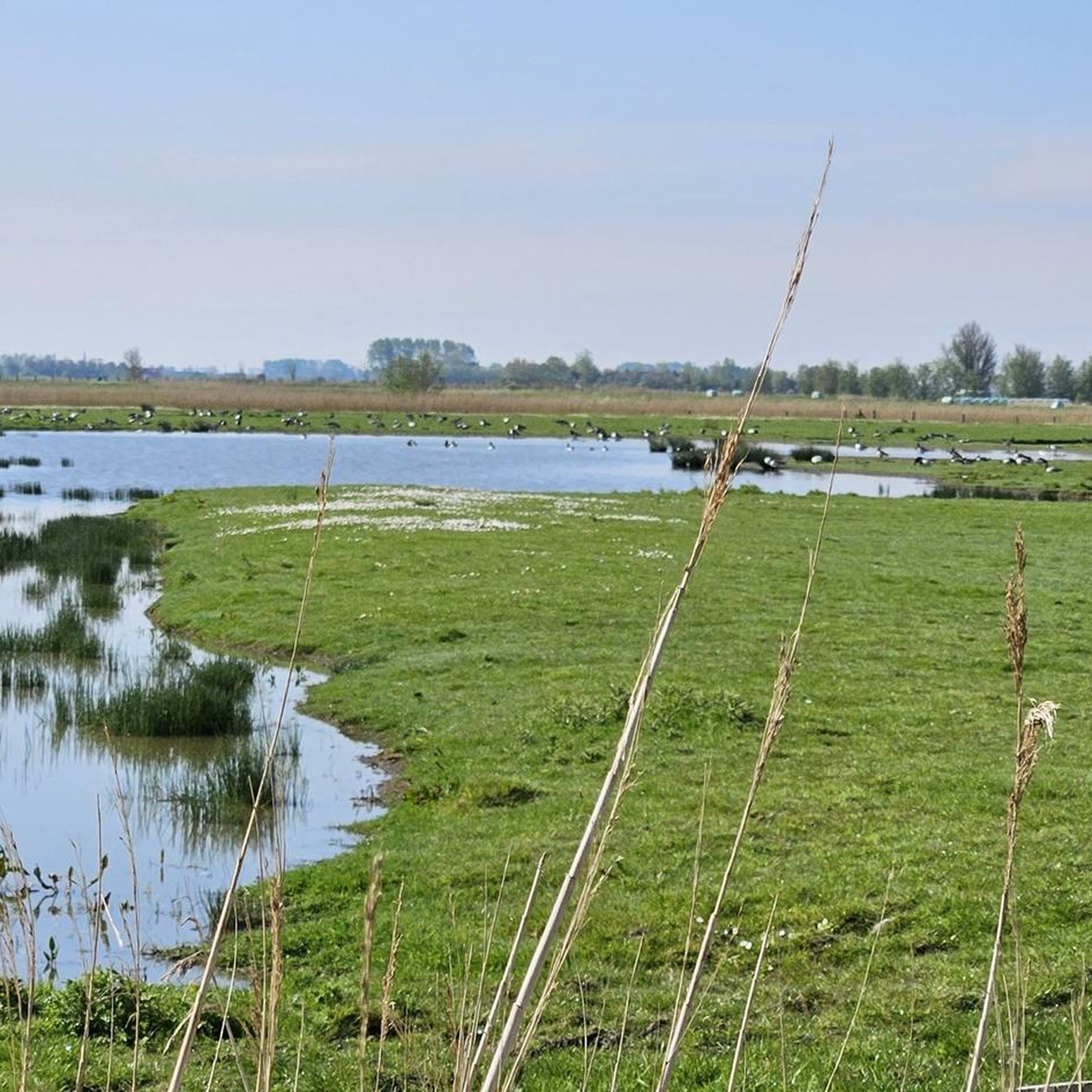
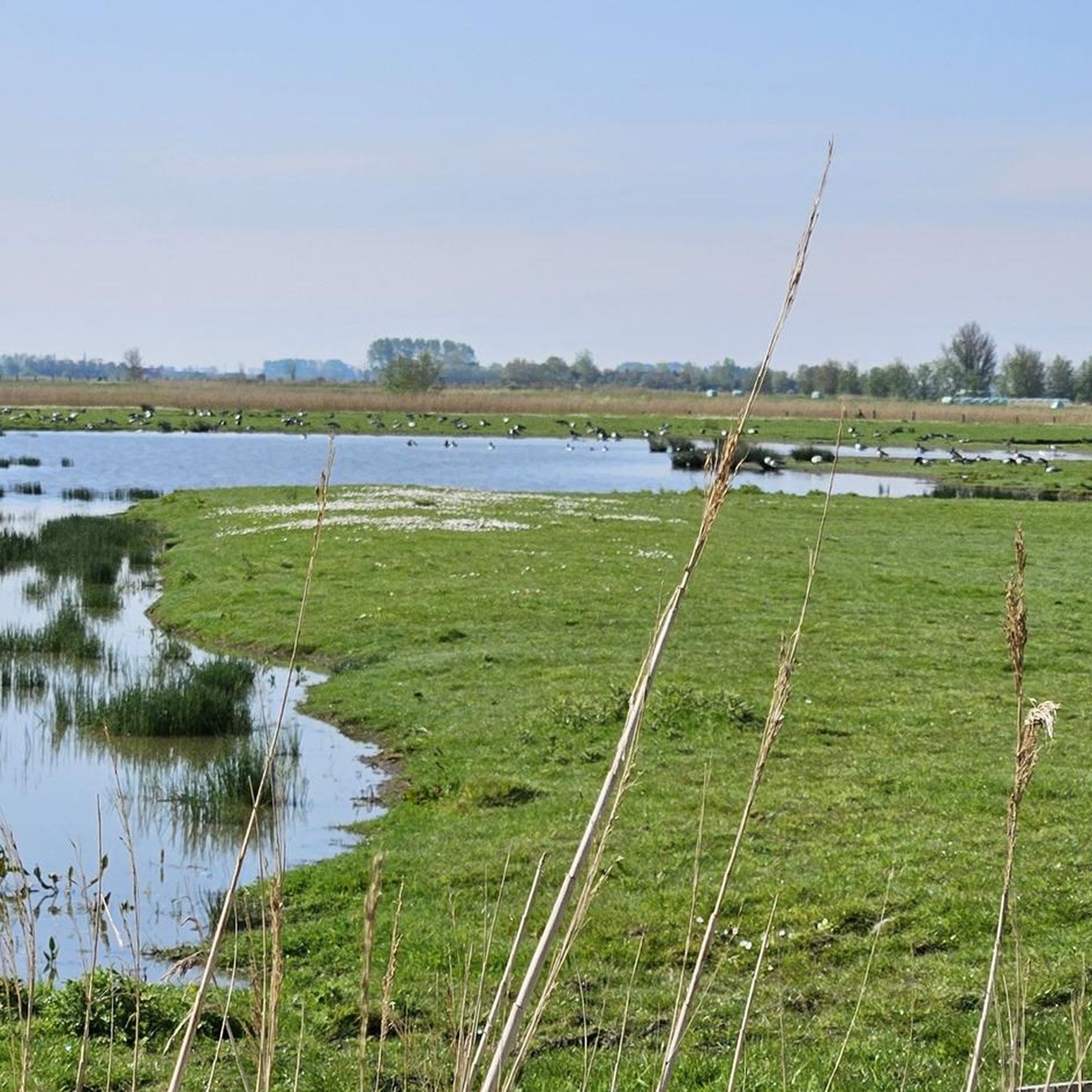
ここからヘット・ズウィン自然保護区が見えます
0
0

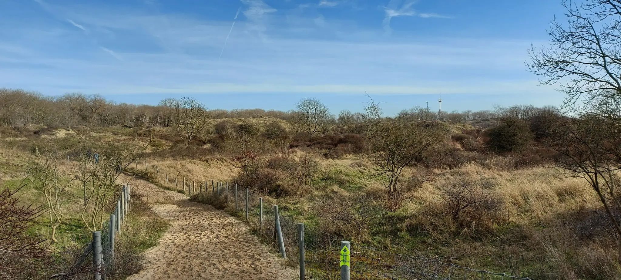
A beautiful dune landscape. There are constant views of the North Sea and the Blankenberge Belgium Pier. Simply enjoy the fresh sea air!
1
0

Just on the beach you get close to the large harbor.
1
0
Place where adventures begin or end. Historical significance: Blankenberge station became a terminus on 1 October 1908. The new station building was put into use in 1937. Over the years, renovations and additions had somewhat affected the architectural value of the building, but it retained its value as a testimony to interbellum architecture. Despite its heritage value, the station was demolished in November 2013. It was replaced by a brand new complex. All this is happening as part of a renovation project for the station area. The new station building was completed in 2018. Two hotels are located above the station. The new Blankenberge station hall is a glass building so that travellers have a view of the Stationsplein from the platforms.
3
0

nice walk through the city to the Dr, from the Prinsenlaan.
0
1

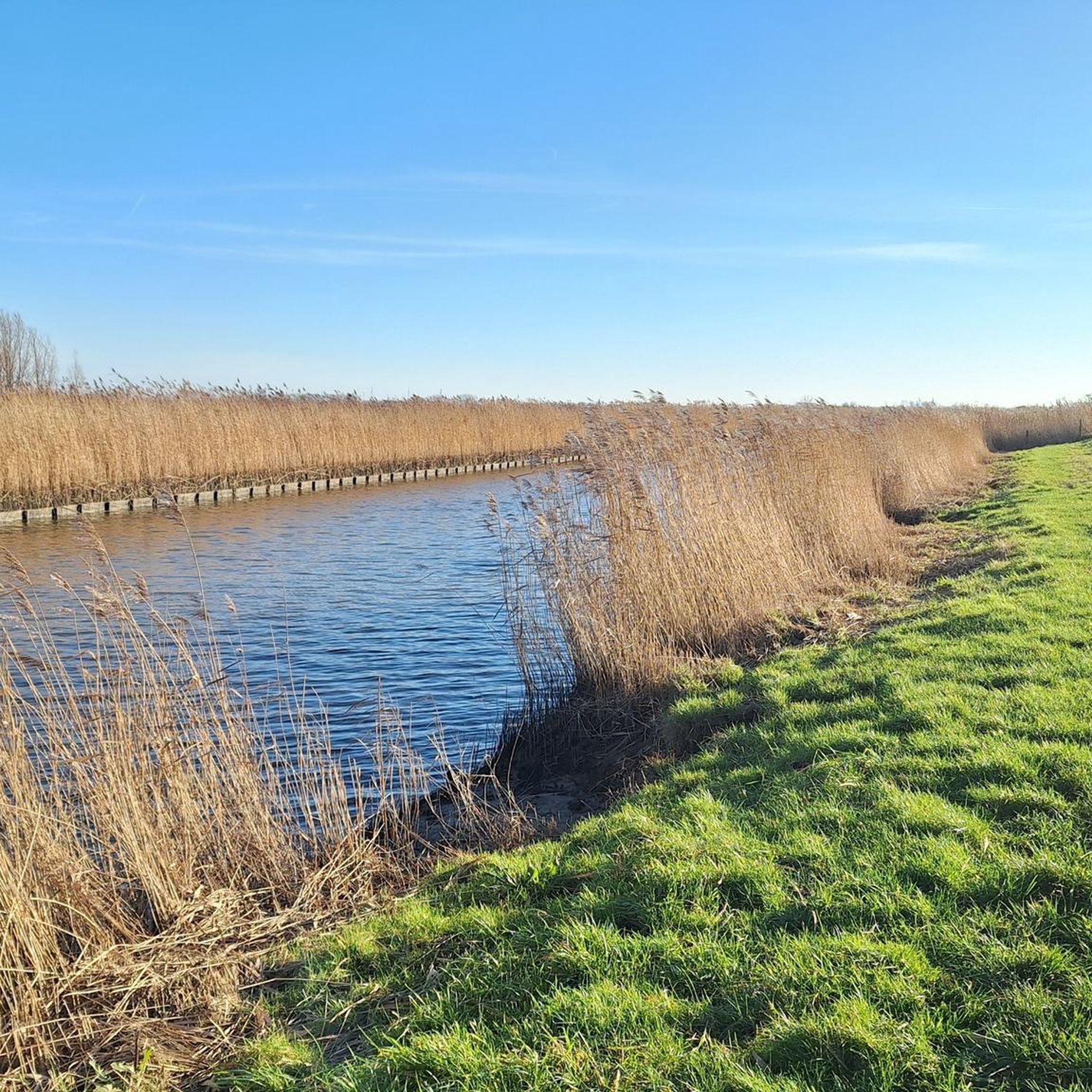
In the 13th century, the historic Grafenkanal was dug to create a direct waterway for trade between Bruges and the coast. This resulted in a unique landscape of dunes and polders. Today, these narrow strips of dunes form a green oasis between the N34 coastal road and the sea. The special mixture of fresh and salt water – known as brackish water – has created a valuable habitat for rare plant and animal species. The De Fonteintjes nature reserve is managed by Natuurpunt and is an important refuge for amphibians, breeding birds, and rare plants.
52
0
ブランケンベルヘでのの人気観光スポット

komootモバイルアプリでインスピレーションを得よう


さらに探索
他の地域の最高のMTBトレイルを見てみましょう。
