ベルラール周辺のアトラクション&必見スポット - トップ20
ベルラールには必見のスポットがたくさんあります。ハイキング愛好家やサイクリング愛好家の方は、ぜひベルラールを探索してこのエリアにある20
の隠れたスポットを訪れてみてください。このエリアの必見スポットを確認し、次の冒険に出かける計画を立てましょう。
最終更新日: 10月 9, 2026
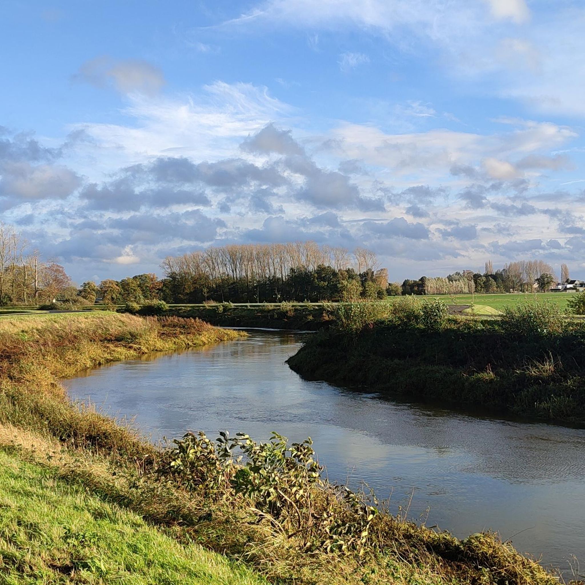
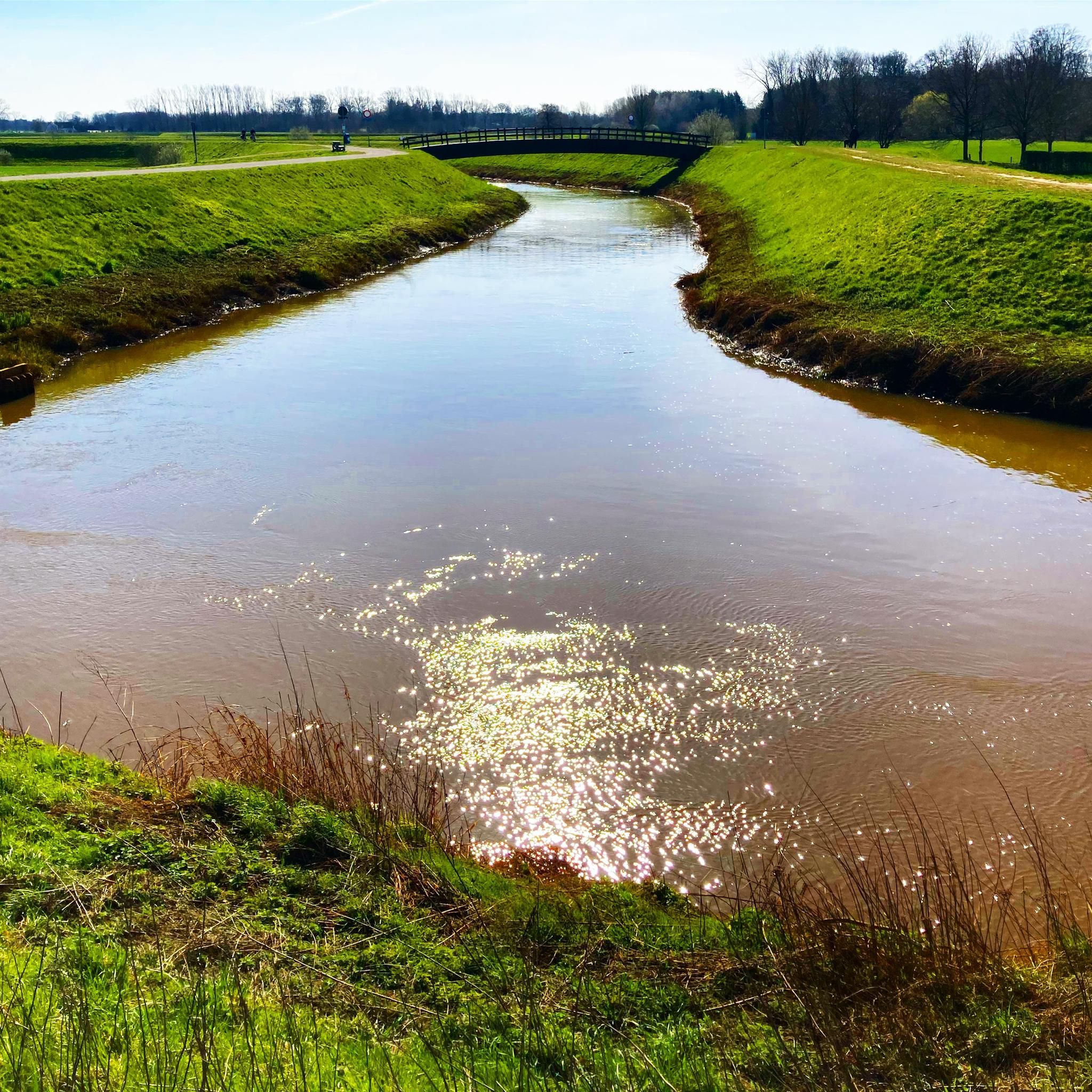
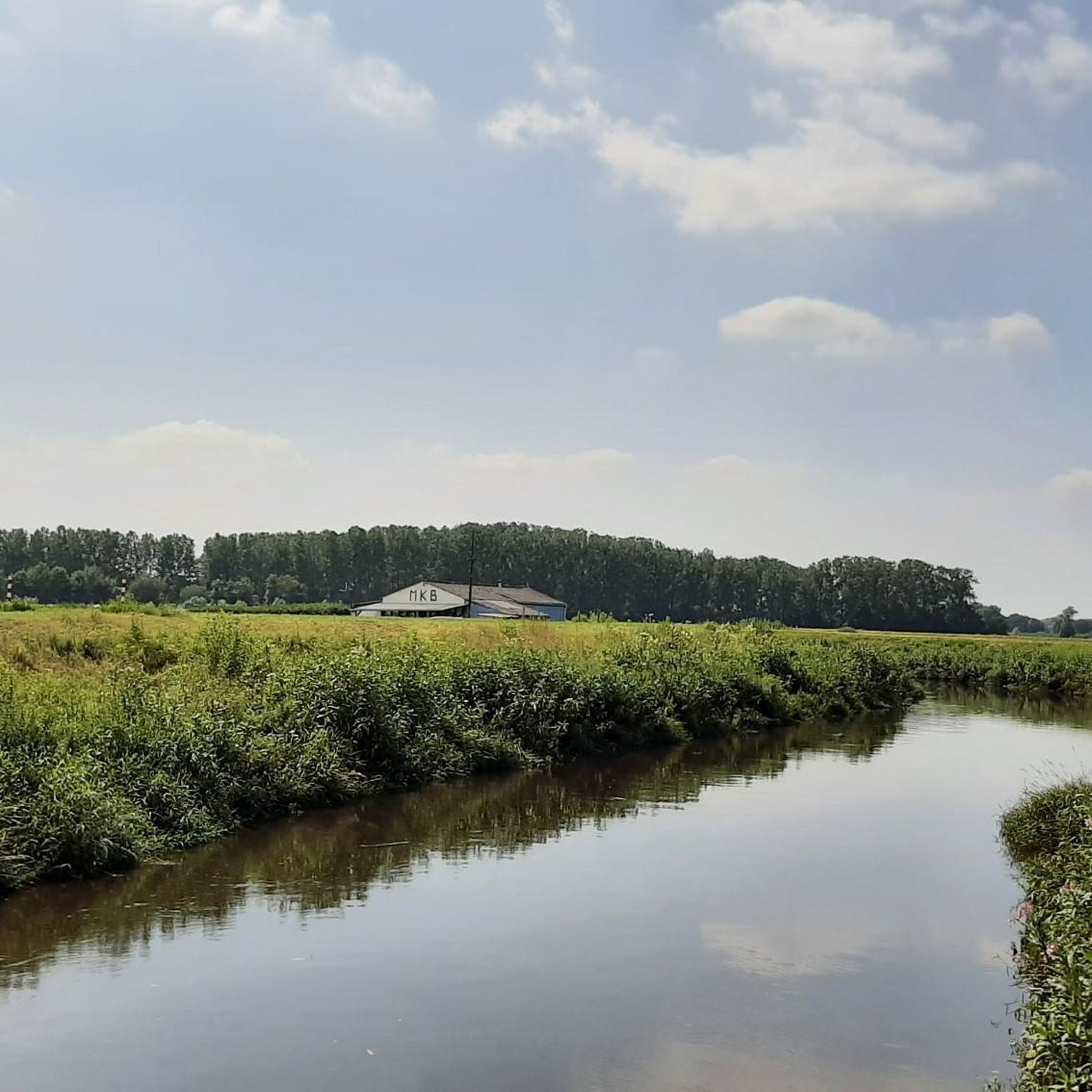
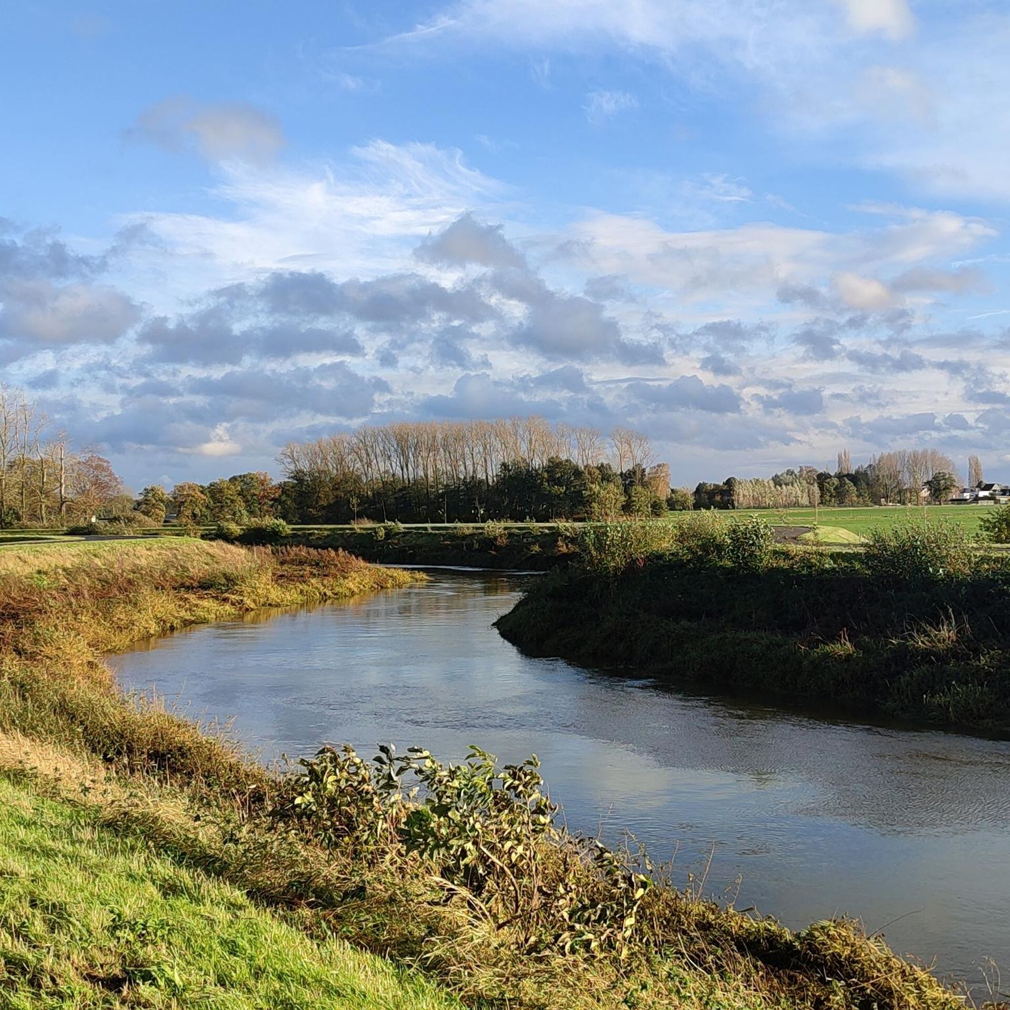
Netekanaalサイクリングロード
ハイライト (セグメント) • サイクリングロード
翻訳者 Google •
役立つ情報 は

Netekanaalトウパス
ハイライト • サイクリングロード
The wind is your partner or opponent here. Always nice to be able …
翻訳者 Google •
役立つ情報 は

今すぐサインアップして、こんな場所を発見しよう
最高のシングルトラック、ピーク、その他のエキサイティングなアウトドアスポットのおすすめを受け取ろう。
ケッセルセ・ハイデ
ハイライト • 森
翻訳者 Google •
役立つ情報 は

Netekanaalのトウパス
ハイライト • サイクリングロード
役立つ情報 は


無料アカウントで今日から始めよう
次の冒険が待っています。
コミュニティからのヒント


The Kesselse Heide is a provincial green space covering 79 hectares, 61 of which are open to the public. The initial acquisition took place in 1978, and it has been expanded since then. The entrance is located in Nijlen, at Vaerestraat 4. The space is freely accessible daily from sunrise to sunset. There are two ponds in the area. These old wells not only provide a pleasant change of scenery but are also a boon for the many plants and animals. Since 1996, the Kesselse Heide has been a protected landscape. It is one of the few remaining remnants of the once vast Kempen heathlands. The heath is a living community created in our region by humans. Historical agricultural practices created a landscape that has been preserved through human intervention: grazing by sheep, burning the heath, and sod cutting. Sod cutting is the removal of the topsoil and vegetation. A dug-out sod of plants and their roots is a sod. If heathland is left untreated, it will evolve into oak and birch forests, and the typical species associated with a heathland habitat will disappear. In the mid-19th century, the Kesselse Heide—like many other parts of the Kempen region—was afforested with Scots pine, a valuable timber for mining. However, during both World Wars, these sod-covered forests were felled, and from then on, the heathland was able to expand again. Current management consists of removing trees and mechanically cutting sods to give the open heathland every chance to thrive. https://youtu.be/NoPf0HSeFz8
6
0

The Kesselse Heide-Het Goor area consists of a variety of nutrient-poor meadows, pastures, marshes, and ponds, bordered and crisscrossed by enclosed landscape types, and contains numerous landscape elements. The area is characterized by a richly varied and sometimes rare flora. Several historic farm buildings can be found within the area. The Kesselse Heide-Het Goor area, with an area of approximately 2,620 hectares, is located between the villages of Nijlen and Kessel, north of the Lier-Herentals road. The northern border of this area is along Vogelzangstraat, the eastern border along Achterbist, Kannaertsstraat, and Goorstraat. The Grote Steenweg forms the southern border, and the western border is formed by Heidestraat and Vaerestraat. The landscape includes the following topographical areas: "Kannaerdsche Heyde," "Kesselse Heide," "Mol Heide," "Achterbiest," "Het Hoog Bosch," "De Hooge Heide," "Het Armveld," "De Schommers" or "Vissen Eynde," "Het Goor," "Het Goorkasteel," and "Hoge Heyde." Several streams traverse the area, specifically the Goorkantloop, the Elstbeek, the Paddenloop, Blauwe Hoekloop, and the Visbeek. The elevation within the area varies from approximately 5 meters +TAW to approximately 10 meters +TAW. Inventory of Immovable Heritage: Kesselse Heide-Het Goor, https://id.erfgoed.net/erfgoedobjecten/302886
7
0


Very nice walk with a lot of variety in landscapes and terrain.
3
0

Is just a fantastic ride! Small and narrow roads with little traffic (cars). Few cycle paths. Great cycling!
2
0

The name "Vrieselhof" goes back to Jan van Vriesele, a nobleman from Kontich who bought approximately 24 hectares of land in Oelegem around 1300 (approximately 32 hectares). In 1975, a year after the sale to the province of Antwerp, the domain was opened to hikers. From 1977 to 1999 the "Provincial Textile and Costume Museum" was located in the Vrieselhof. Due to a lack of resources, only a limited part of the collection could be exhibited. In 2002, the museum moved to Antwerp and was named Fashion Museum Antwerp. In 2003, the Provincial Library Center settled in the castle, together with administrative services. In 2011, a "library of Flemish classics" was opened within the Provincial Library Center. Works by classical Flemish writers are collected and loaned out here. In 2014, the Antwerp provincial council decided to restructure the culture department. The library center would be merged with the Cultural Dissemination and Arts Service into a new Libraries and Arts Service. In 2015, the Provincial Library Center moved to Antwerp, but the collection of Flemish classics remained in the Vrieselhof.
7
0
ベルラールでのの人気観光スポット

komootモバイルアプリでインスピレーションを得よう


さらに探索
まだ探しているハイライトが見つかりませんか?他の地域のトップアトラクションのガイドを見てみましょう:
