イットゥルのおすすめランニングルート
4.7
(53)
1,538
ランナー
51
ランニング
イットゥルでランニングを楽しめば、このエリアをより深く知ることができます。ランニングに適した美しいルートが見つかるように、komootがイットゥルでのルートのコレクション全体を評価して選び抜いた、人気ランニングトレイルをご紹介します。ルートをクリックして詳細を表示し、他のユーザーがアップロードした役立つ情報や写真を閲覧しましょう。
最終更新日: 10月 7, 2026
4.3
(4)
274
ランナー
10.4km
01:11
110m
110m
中程度のジョギング. ある程度のフィットネスレベルが必要です。 全般的に舗装された状態です。あらゆるスキルレベルに適しています。
4.4
(5)
130
ランナー
中程度のジョギング. ある程度のフィットネスレベルが必要です。 全般的に舗装された状態です。あらゆるスキルレベルに適しています。

4.8
(4)
410
ランナー
34.6km
04:00
470m
470m
難しいジョギング. 標準以上のフィットネスレベルが必要です。 全般的に舗装された状態です。あらゆるスキルレベルに適しています。
4.8
(6)
74
ランナー
7.19km
00:47
70m
70m
中程度のジョギング. ある程度のフィットネスレベルが必要です。 全般的に舗装された状態です。あらゆるスキルレベルに適しています。
64
ランナー
13.1km
01:23
110m
110m
中程度のジョギング. ある程度のフィットネスレベルが必要です。 全般的に舗装された状態です。あらゆるスキルレベルに適しています。
さらに多くのルートや他のユーザーのおすすめ情報を確認できます。
すでにアカウントをお持ちですか?
おすすめのツアーは他のkomootユーザーが実際に経験した何千ものアクティビティに基づいています。
無料アカウントで今日から始めよう
次の冒険が待っています。

コミュニティからのヒント


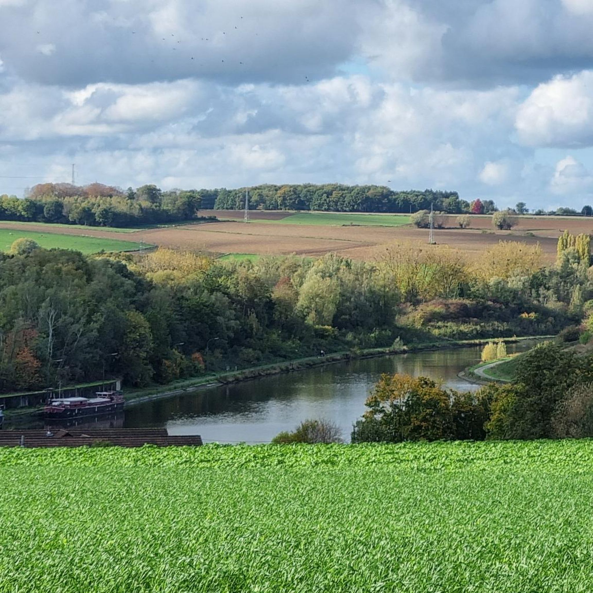
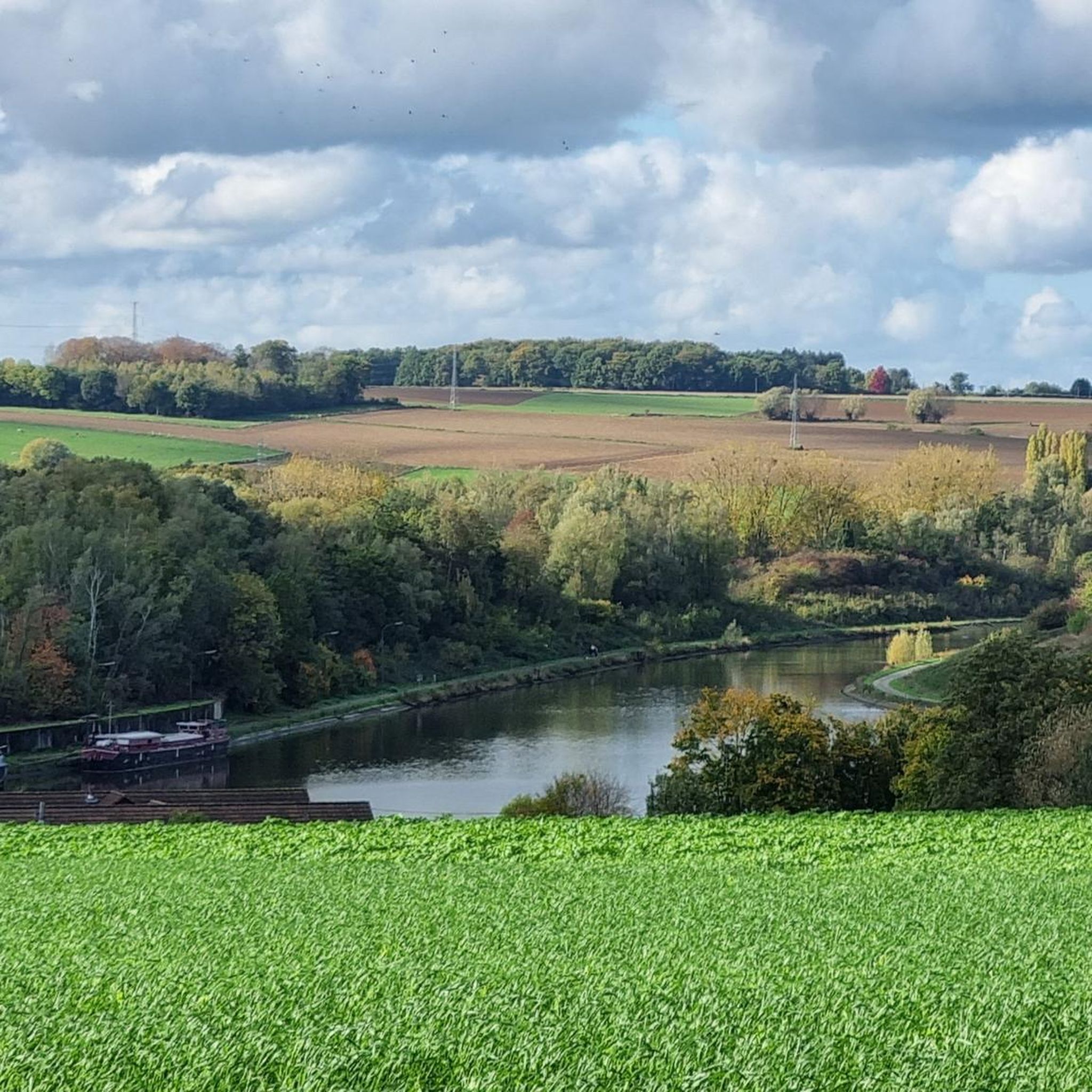
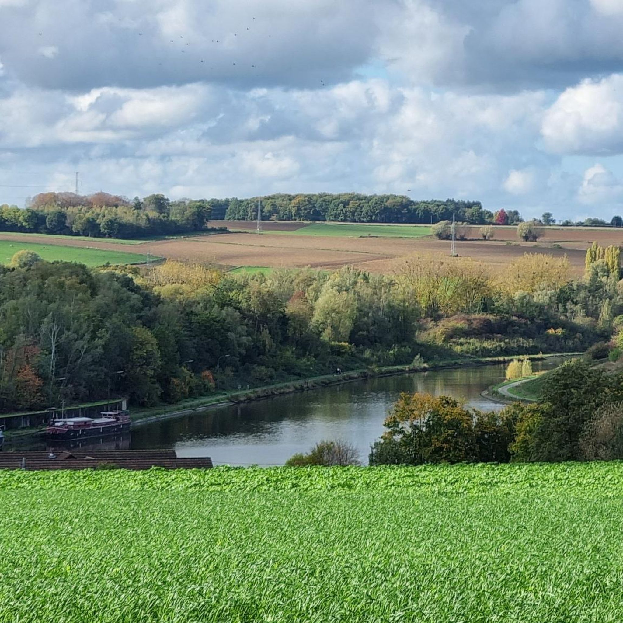
The Ronquières inclined plane is a unique boat lift. Built in 1968, it allows barges to overcome a drop of nearly 70 meters thanks to a system of sliding trays. The structure can be observed from the cycle path along the canal.
0
0

We rarely see such beautiful straight lines in the middle of the woods. On this section, you can have fun with your gravel bike by following this beautiful dirt track.
0
0

nice single track... watch out for the roots
2
0


The Ronquières inclined plane is a ship lift near the Belgian village of Ronquières. It is an inclined plane on the Charleroi-Brussels Canal. It bridges the height difference with the Hainaut Plateau. The inclined plane was completed on 1 April 1968 after a construction period of six years. The plane is 1400 metres long and bridges a drop of 68 metres, with a gradient of almost 5%. There are two ship barges, each 85.50 metres long and 11.60 metres wide. The barges run like wagons on rails and are moved by cables. Each barge has its own counterweight, which runs on rails under the barge. The barges can thus operate independently of each other, which is important for maintenance and in the event of any malfunctions. In such cases, the plane continues to operate, but with limited capacity. The total cost of the work was approximately 3.1 billion Belgian francs (approximately €77 million), about twice as much as was thought at the start of construction. The plane is self-sufficient in energy. Next to the slope is a pipe through which water flows that drives a turbine, which provides the electrical energy for the work of art.
1
0

A great area for MTB riding. The forests offer a mix of technical, challenging trails with roots, muddy sections and steep slopes, and wider, more accessible trails suitable for less experienced mountain bikers.
0
0
イットゥルでのの人気観光スポット

komootモバイルアプリでインスピレーションを得よう


さらに探索
他の地域の最高のランニングトレイル & ルートを見てみましょう。
