パリウのおすすめMTBライド
4.5
(394)
3,427
ライダー
64
ライド
パリウ周辺には魅力的なマウンテンバイクルートがいくつもありますが、冒険を始めるにはその場所とルートを把握する必要があります。ここでは、komootが提供するパリウ周辺でのマウンテンバイクルートのコレクション全体を評価して選び抜いた、人気ルートをご紹介します。各ライドの詳細をぜひご覧ください。
最終更新日: 9月 2, 2026
4.4
(17)
180
ライダー
48.5km
03:50
620m
620m
中程度のマウンテンバイクライド. ある程度のフィットネスレベルが必要です。 高度なライディングスキルが必要です。
5.0
(5)
51
ライダー
41.9km
03:44
760m
760m
中程度のマウンテンバイクライド. ある程度のフィットネスレベルが必要です。 高度なライディングスキルが必要です。

無料新規登録
5.0
(4)
44
ライダー
27.0km
02:15
360m
360m
中程度のマウンテンバイクライド. ある程度のフィットネスレベルが必要です。 あらゆるスキルレベルに適しています。
5.0
(2)
62
ライダー
51.4km
04:35
820m
820m
中程度のマウンテンバイクライド. ある程度のフィットネスレベルが必要です。 高度なライディングスキルが必要です。
4.5
(12)
40
ライダー
33.2km
02:28
360m
360m
中程度のマウンテンバイクライド. ある程度のフィットネスレベルが必要です。 あらゆるスキルレベルに適しています。
さらに多くのルートや他のユーザーのおすすめ情報を確認できます。
無料新規登録
すでにアカウントをお持ちですか?
おすすめのツアーは他のkomootユーザーが実際に経験した何千ものアクティビティに基づいています。



コミュニティからのヒント

An easy hike along both banks of the Our river. Please note that this route may be used for an organized mountain bike tour. Hiking under these conditions is not recommended.
0
0

The Tombeau du Géant is a hill formed by a meander of the Semois River. The hill is located on the left bank of the Semois, a few kilometers downstream from Bouillon. The Tombeau du Géant, a listed Natural Monument, is one of the most famous and most photographed locations in the Belgian Ardennes and the Semois Valley. The most popular viewpoint is near the village of Botassart, about 450 meters as the crow flies from the Semois and about 140 meters above the river. It offers a view of the river's meander around a well-preserved wooded hill that ends at an altitude of 250 meters. (Wikipedia)
12
0

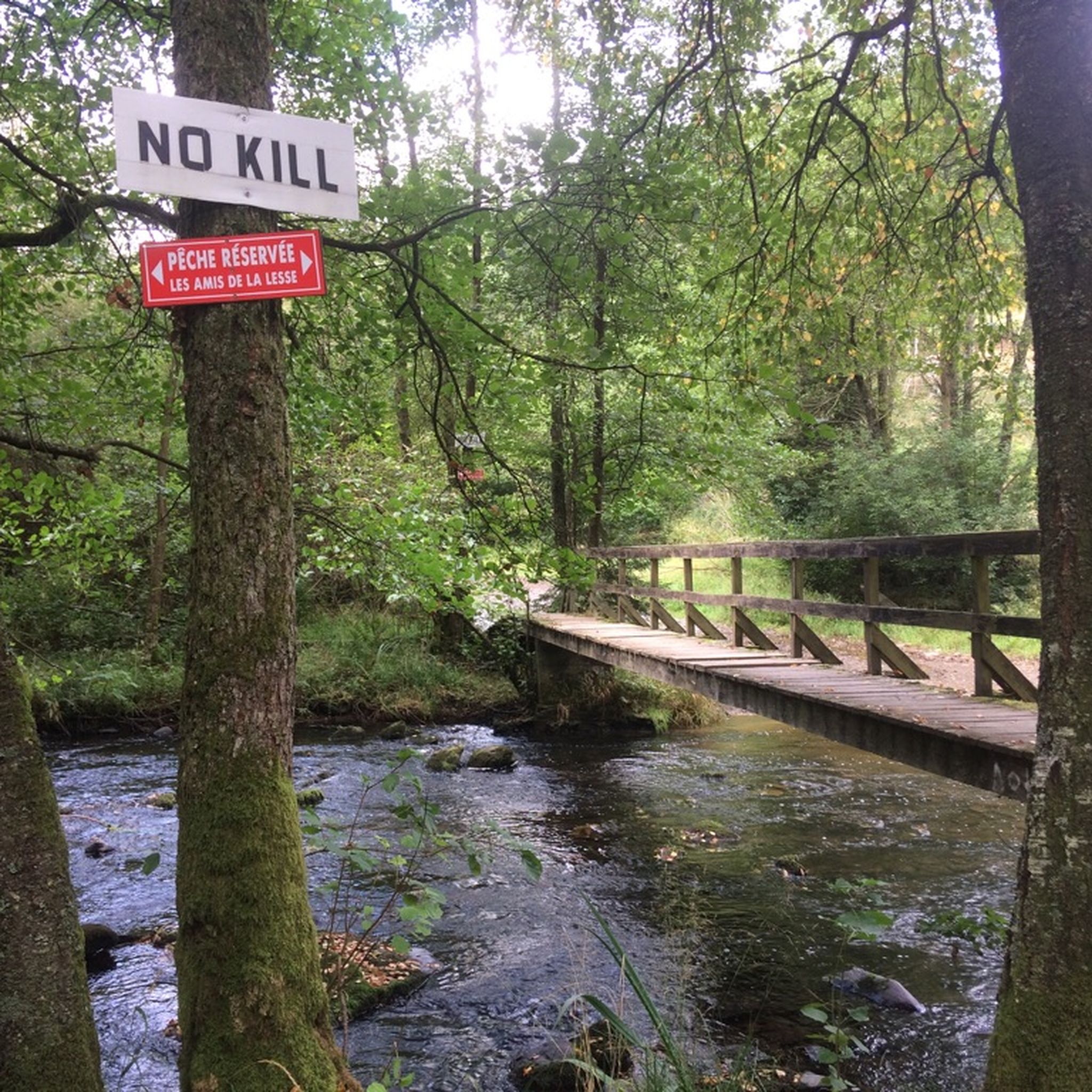
short single trail with a crossing through a stream
0
0
Nice trail on the established MTB route. Some steep climbing though. A descent sounds fun too.
0
0
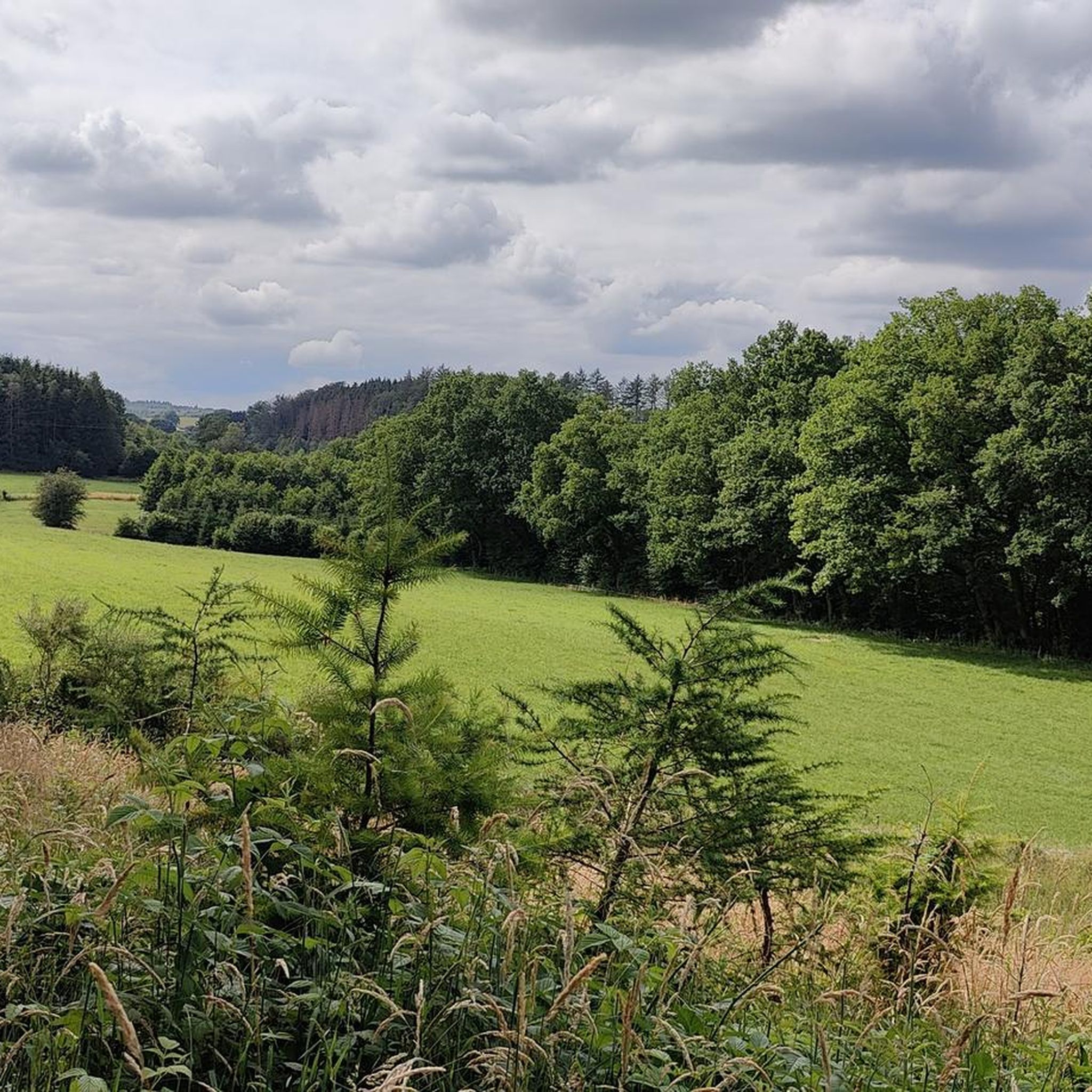
Singletrack to the Lesse (S1). Not a particularly difficult descent, but enjoyable. Climbing is also possible.
0
0

komootモバイルアプリでインスピレーションを得よう


さらに探索
他の地域の最高のMTBトレイルを見てみましょう。
