ダイソン周辺のアトラクション&必見スポット - トップ20
ダイソンには必見のスポットがたくさんあります。ハイキング愛好家やサイクリング愛好家の方は、ぜひダイソンを探索してこのエリアにある20
の隠れたスポットを訪れてみてください。このエリアの必見スポットを確認し、次の冒険に出かける計画を立てましょう。
最終更新日: 10月 9, 2026
ジレップダムのライオン
ハイライト • 記念碑
翻訳者 Google •
役立つ情報 は

ヴァル=デュー修道院
ハイライト • 宗教的な場所
翻訳者 Google •
役立つ情報 は

今すぐサインアップして、こんな場所を発見しよう
最高のシングルトラック、ピーク、その他のエキサイティングなアウトドアスポットのおすすめを受け取ろう。
観測用バンカーMN18とクヌッペルシュトック展望テーブル
ハイライト • 歴史的な場所
翻訳者 Google •
役立つ情報 は
ジレップダム
ハイライト • 記念碑
The stone lion is the landmark of the Gilepppe dam. With a length of 13.5 m, the massive 180-ton …
翻訳者 Google •
役立つ情報 は
ヴァル=デュー田園地帯
ハイライト • 展望台
翻訳者 Google •
役立つ情報 は

無料でサインアップして、さらに多くの観光スポットを発見しましょう ダイソンでの。
すでにアカウントをお持ちですか?
無料アカウントで今日から始めよう
次の冒険が待っています。


コミュニティからのヒント

The MN18 Observation Bunker is part of the first line of defense of the Position Fortifiée de Liège (PFL), a network of bunkers built in the 1930s to defend Belgium against a German invasion. MN18 was the 18th bunker in the Margarins-Neufchâteau sector and equipped with an FM turret, recognizable by its tapered shape. During the German attack in May 1940, the bunker was destroyed by a 50 kg shaped charge placed on top of the turret, just where the periscope was located. The damage is still visible, making MN18 a tangible reminder of World War II. Right next to the bunker is the Knuppelstock orientation table, an impressive work of blue limestone with a diameter of 1.5 meters and weighing approximately one ton. The relief of the surrounding landscape is engraved on it based on data from the National Geographic Institute, with bronze details indicating the visible points. The table is also accessible for the visually impaired thanks to its tactile elements. The project, carried out by local organizations such as Qualité-Village-Wallonie and the municipality of Aubel, is unique in Belgium.
11
0
The cross, also known as the Croix sur le chemin de Fort-Pays, is attached to a chestnut tree at the entrance to a path leading through the meadows to Lammerschot and then on to Saint-Jean-Sart. This type of wayside cross belongs to the so-called petit patrimoine sacré—small religious heritage—typical of the Pays de Herve and Wallonia. Such crosses traditionally served as spiritual beacons for travelers, pilgrims, and local residents, and are often placed at crossroads, paths, or village entrances.
2
0

At this point, history and landscape converge. The MN18 observation bunker, a silent witness to the Second World War, still stands as a reminder of a turbulent period. From the bunker, you also have a unique view of the surrounding hilly landscape. Next to the bunker is the Knuppelstock orientation table, a platform that indicates the names and directions of villages, hills, and landmarks in the area. It's an ideal spot to get to know the region better and to enjoy a panoramic view of the border area between the Netherlands and Belgium.
4
0
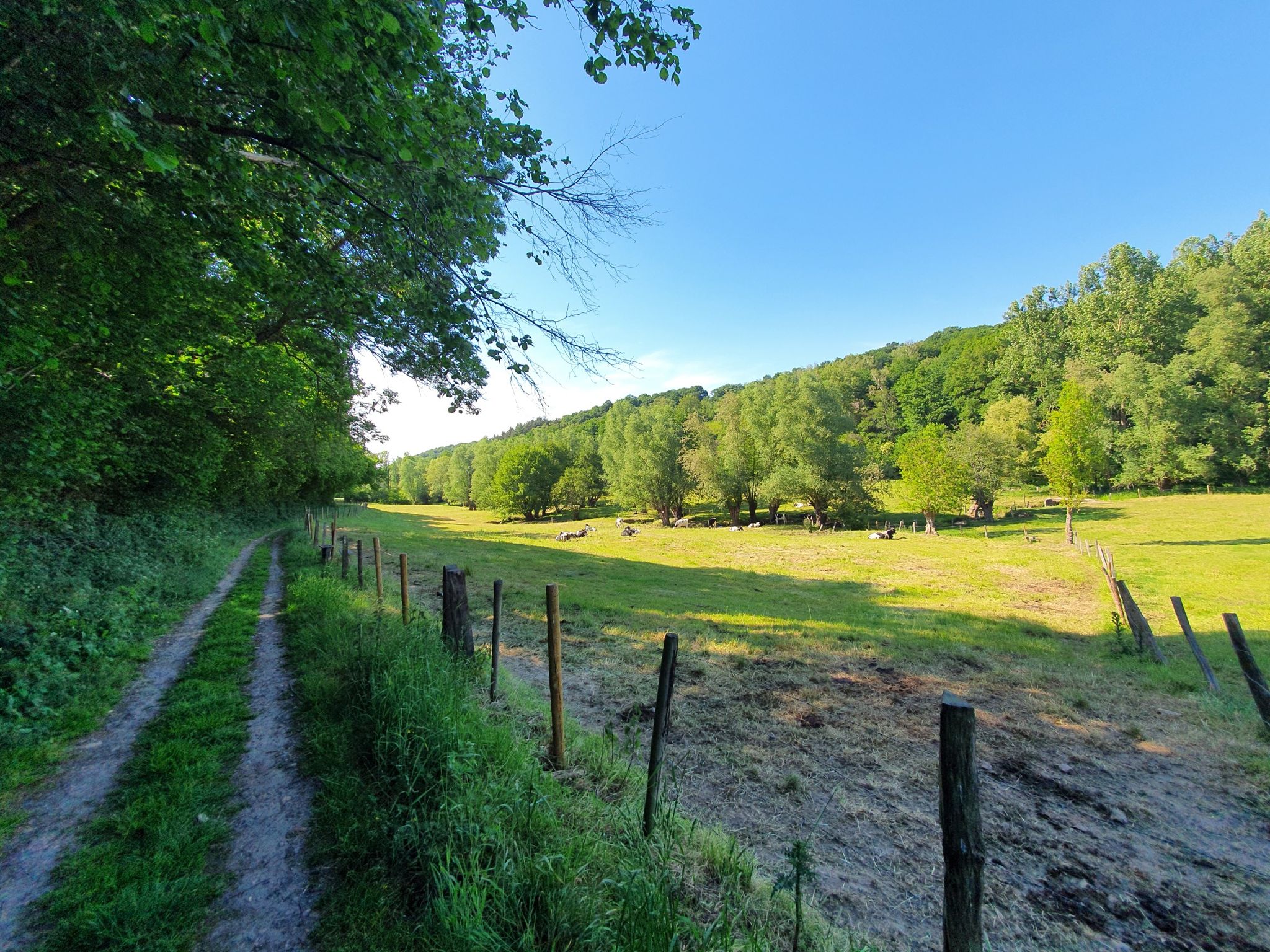
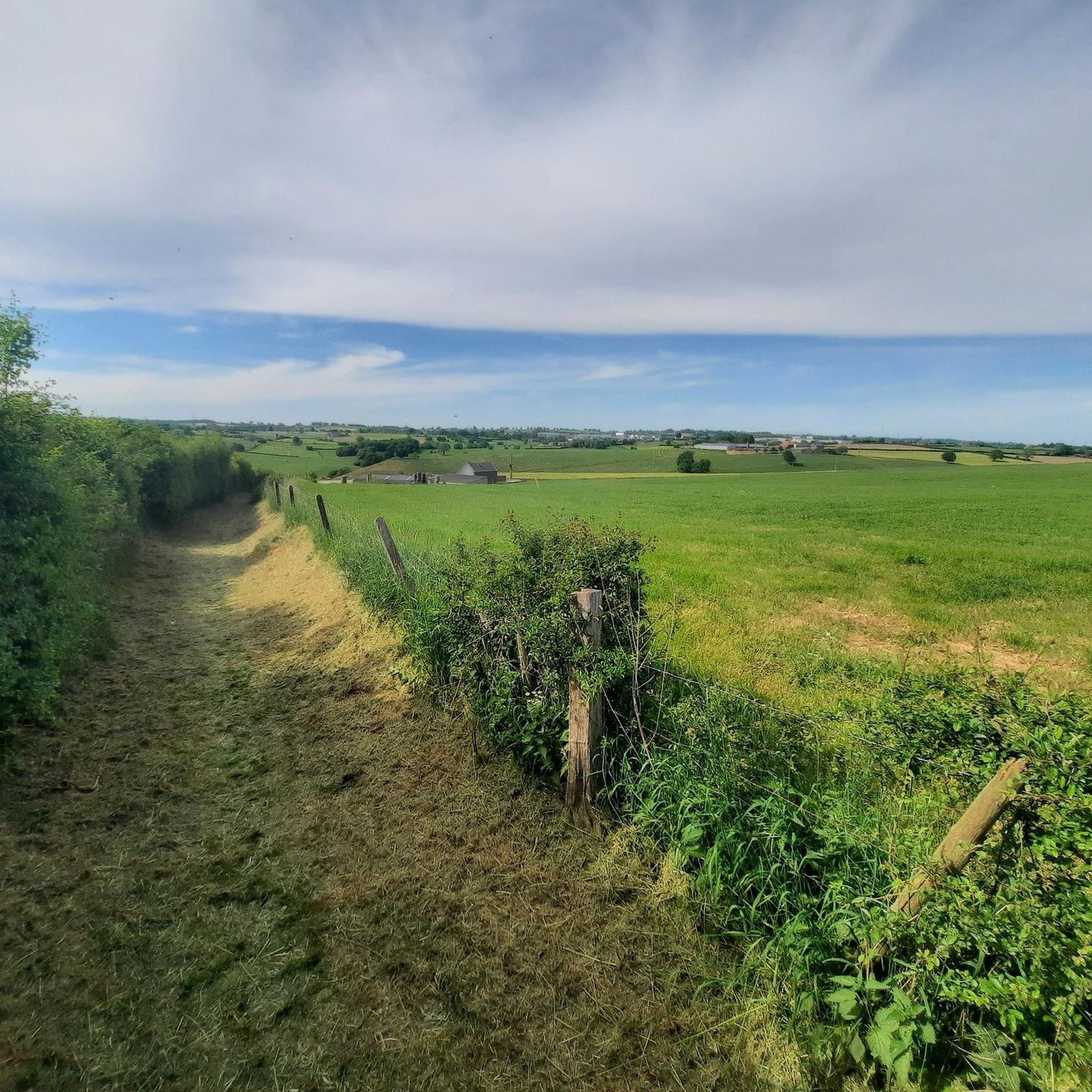
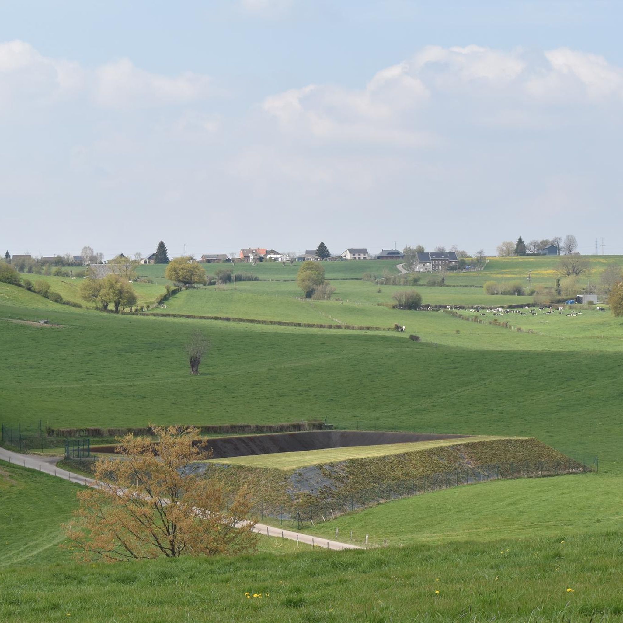
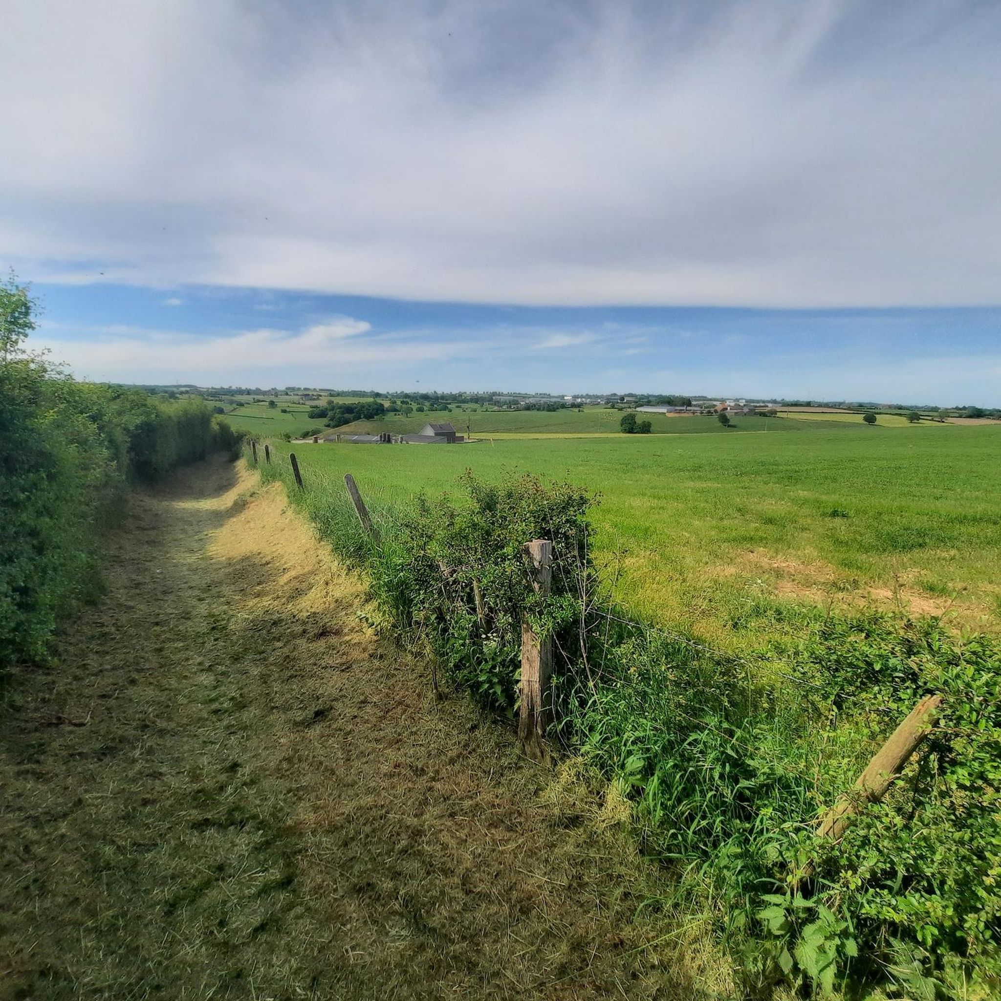
The countryside surrounding Val-Dieu offers vast fields, green meadows, and rolling hills—the perfect setting for a peaceful walk or bike ride. The landscape exudes the charm and tranquility of the Belgian hills.
0
0
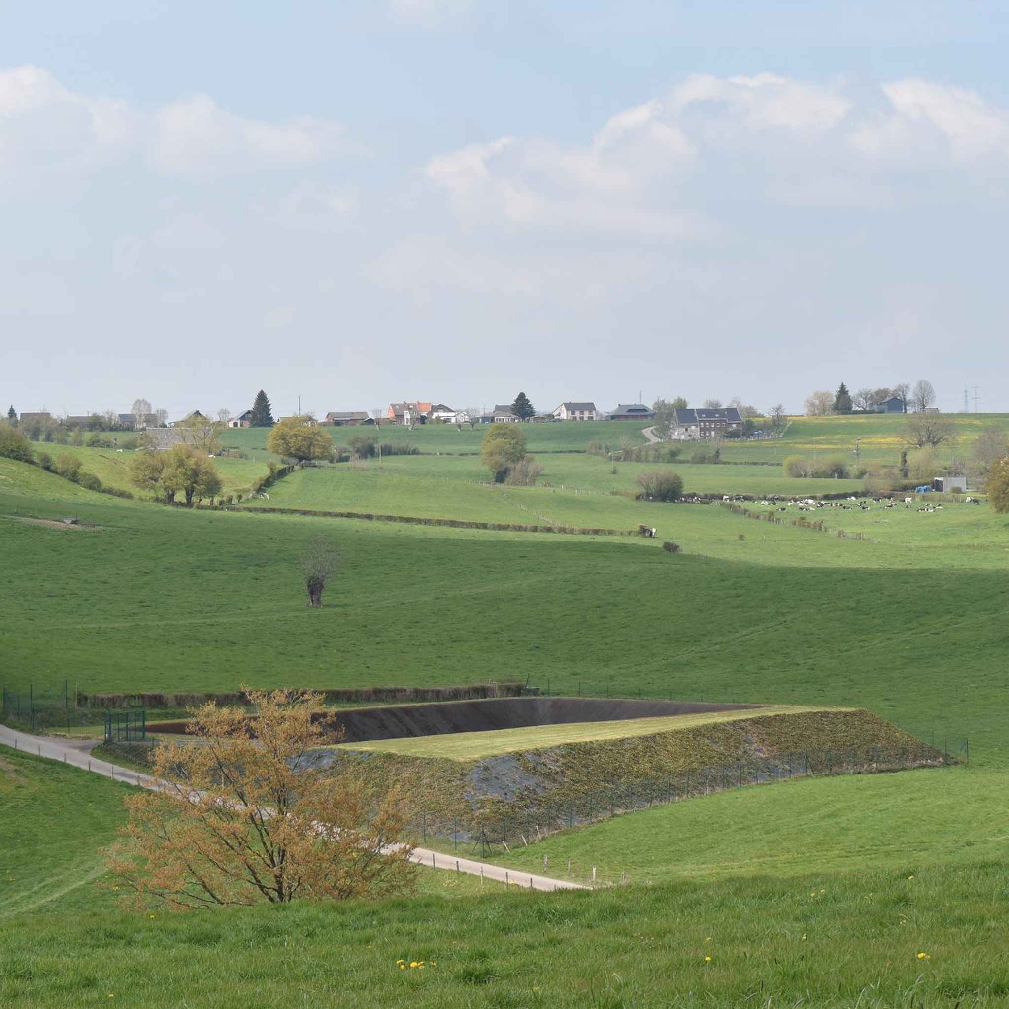
Take a seat on this bench and enjoy a beautiful view over the valley and the Abbey of Val-Dieu.
1
0

It stands on the crest of the dam and faces north-east, towards the former district town of Eupen and the former Prussian border, which was about 5 km away. The artist was Antoine-Félix Bouré (1831–1883). The lion was completely restored in October 2000.
9
0

Superb walk. Beautiful region and tasting of Val Dieu Trappist, a treat
3
1

ダイソンでのの人気観光スポット

komootモバイルアプリでインスピレーションを得よう


さらに探索
まだ探しているハイライトが見つかりませんか?他の地域のトップアトラクションのガイドを見てみましょう:
