フラムリーのおすすめMTBライド
4.8
(31)
157
ライダー
29
ライド
フラムリー周辺には魅力的なマウンテンバイクルートがいくつもありますが、冒険を始めるにはその場所とルートを把握する必要があります。ここでは、komootが提供するフラムリー周辺でのマウンテンバイクルートのコレクション全体を評価して選び抜いた、人気ルートをご紹介します。各ライドの詳細をぜひご覧ください。
最終更新日: 10月 27, 2026
5.0
(1)
29
ライダー
51.7km
03:44
420m
420m
難しいマウンテンバイクライド. ある程度のフィットネスレベルが必要です。 高度なライディングスキルが必要です。ツアーの一部で自転車を押して歩く必要があるかもしれません。
5.0
(3)
16
ライダー
17.3km
00:59
100m
100m
初級者向けMTBライド.

4.8
(6)
7
ライダー
23.2km
01:45
140m
140m
初級者向けMTBライド.
8
ライダー
44.9km
02:36
250m
250m
中程度のマウンテンバイクライド. ある程度のフィットネスレベルが必要です。
9
ライダー
65.5km
04:21
460m
460m
難しいマウンテンバイクライド. ある程度のフィットネスレベルが必要です。 高度なライディングスキルが必要です。ツアーの一部で自転車を押して歩く必要があるかもしれません。
さらに多くのルートや他のユーザーのおすすめ情報を確認できます。
すでにアカウントをお持ちですか?
おすすめのツアーは他のkomootユーザーが実際に経験した何千ものアクティビティに基づいています。
無料アカウントで今日から始めよう
次の冒険が待っています。

コミュニティからのヒント

Between point 6, the Sauwartan site, and point 7, there are now no-entry signs. From point 6, leave the woods and join an asphalt road, take the first right and follow it to point 7.
0
0

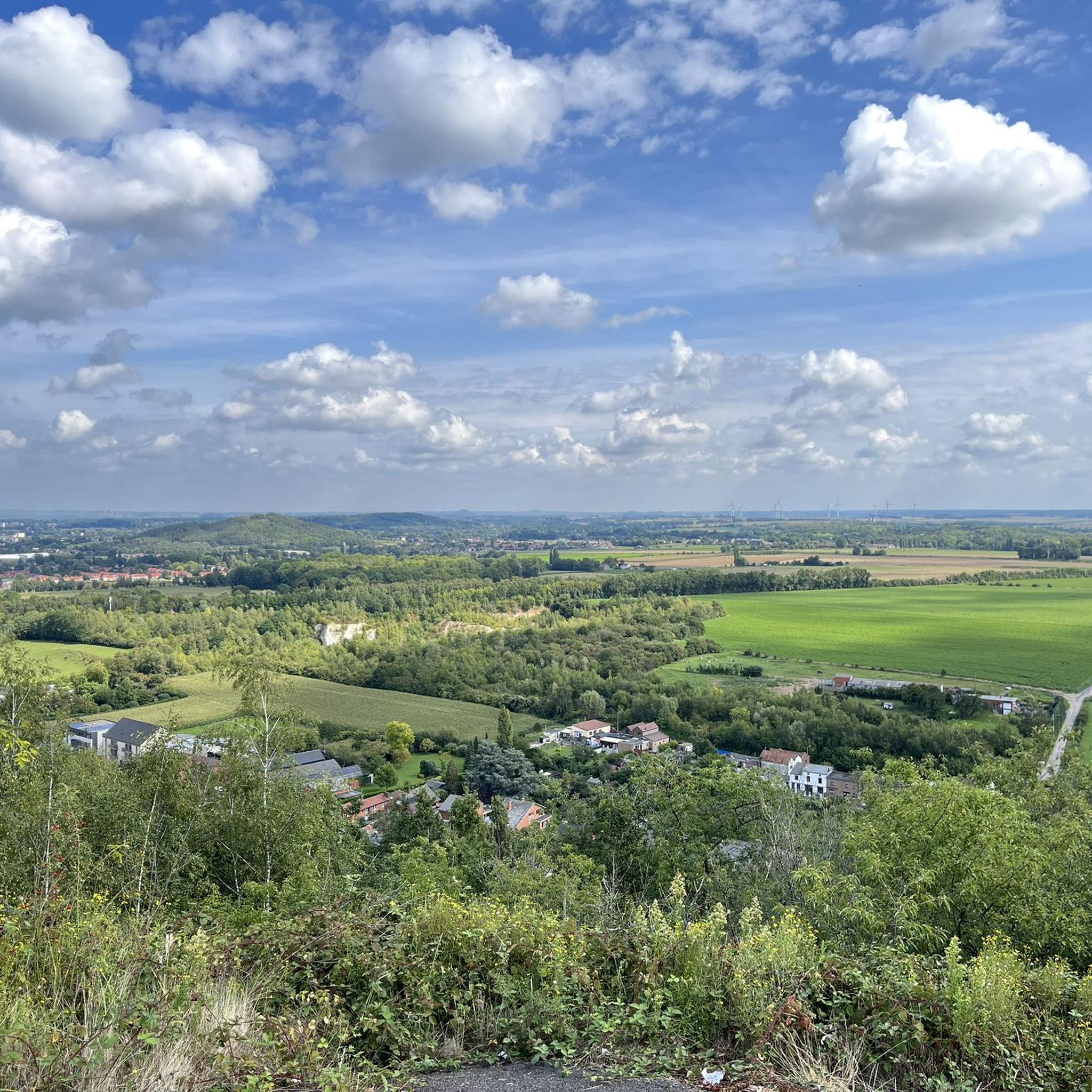
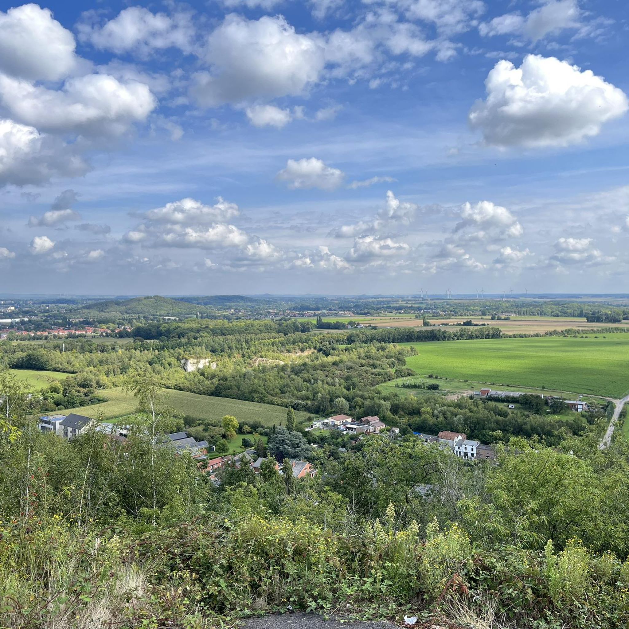
When I was still "able-bodied", I climbed it several times... The climb is also well laid out as a staircase with railway "balls"... Once at the top, you can enjoy a splendid view of Mons (in particular of Sainte Waudru) as well as of Hyon and in particular, its church with its greenish bell tower.
1
2

Located on the old Charbonnage du Crachet mine site in Frameries, Le PASS impressively combines industrial heritage with modern science and technology. The vast site with its monumental chimneys and renovated mine buildings offers both a historical insight into the mining past and interactive exhibitions for young and old. Stroll along the industrial remains, discover the fascinating experiments and enjoy the panoramic view of the surrounding nature.
0
0

The name “Sars” comes from the Latin “Sartum”, meaning a cleared place, emphasizing its agricultural vocation. Sars-la-Bruyère is crossed by an old Roman road linking Bavay to Utrecht. The keep of Sars-la-Bruyère, dating from the 13th century, is one of the oldest medieval remains in the region.
1
0
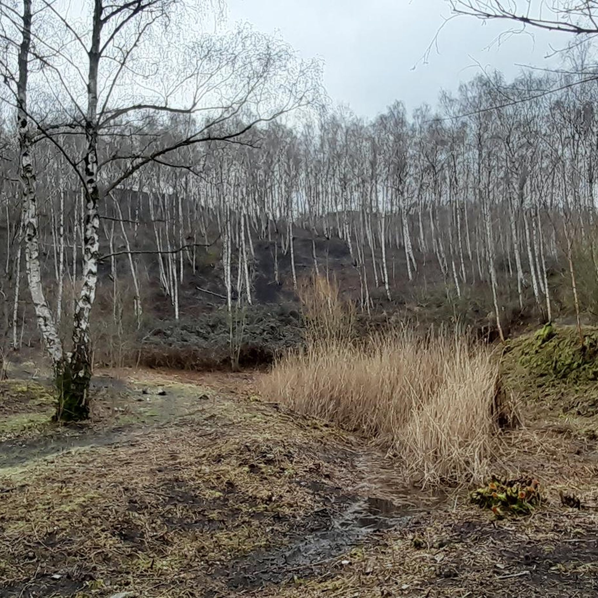
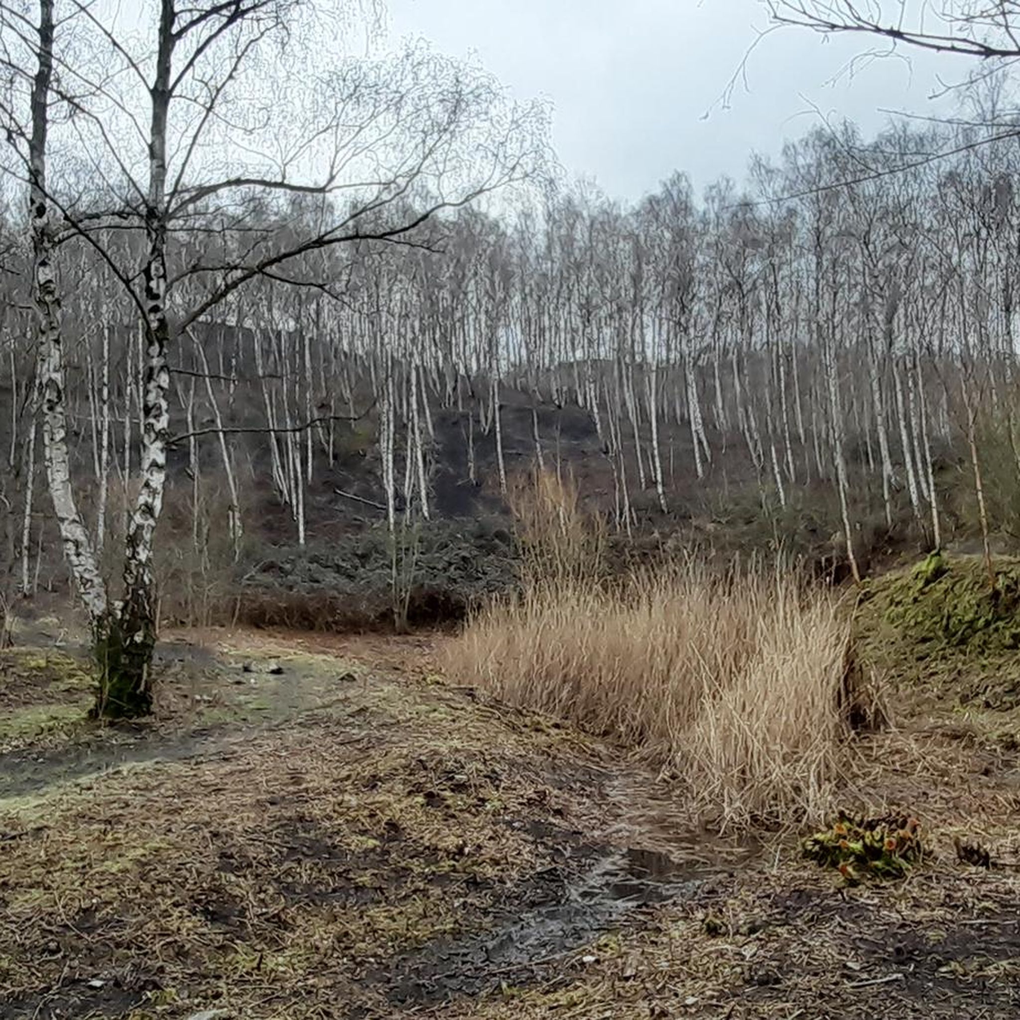
It is an easy path, which allows you to appreciate the surrounding countryside and get away from it all in the middle of nature.
1
0

the view of the wheel is splendid from this side.
0
0

Want some super steep gravel climbing? This terril offers 25% or more! Great view on the town of Mons
1
0
フラムリーでのの人気観光スポット

komootモバイルアプリでインスピレーションを得よう


さらに探索
他の地域の最高のMTBトレイルを見てみましょう。
