ウンターライヒェンバッハのおすすめライド
4.5
(694)
8,118
ライダー
204
ライド
ウンターライヒェンバッハ周辺でのロードバイクライドをお考えですか?komootはウンターライヒェンバッハ周辺のあらゆるロードバイクライドを評価し、人気ルートを厳選しました。ウンターライヒェンバッハ周辺の各ロードバイクルートの詳細をご覧になり、自分に合ったルートを見つけてください。
最終更新日: 10月 2, 2026
4.6
(16)
396
ライダー
98.5km
05:33
2,120m
2,120m
難しいロードライド. 標準以上のフィットネスレベルが必要です。 ツアーの一部に、未舗装のため走行が難しい箇所があるかもしれません。
4.6
(87)
404
ライダー
52.2km
02:35
740m
740m
中程度のロードライド. ある程度のフィットネスレベルが必要です。 ツアーの一部に、未舗装のため走行が難しい箇所があるかもしれません。

4.8
(10)
127
ライダー
125km
05:46
1,240m
1,240m
難しいロードライド. 標準以上のフィットネスレベルが必要です。 全般的に舗装状態が良好で走行しやすい道です。
5.0
(2)
43
ライダー
47.7km
02:25
780m
780m
中程度のロードライド. ある程度のフィットネスレベルが必要です。 全般的に舗装状態が良好で走行しやすい道です。
5.0
(1)
21
ライダー
中程度のロードライド. ある程度のフィットネスレベルが必要です。 全般的に舗装状態が良好で走行しやすい道です。
さらに多くのルートや他のユーザーのおすすめ情報を確認できます。
すでにアカウントをお持ちですか?
おすすめのツアーは他のkomootユーザーが実際に経験した何千ものアクティビティに基づいています。


コミュニティからのヒント

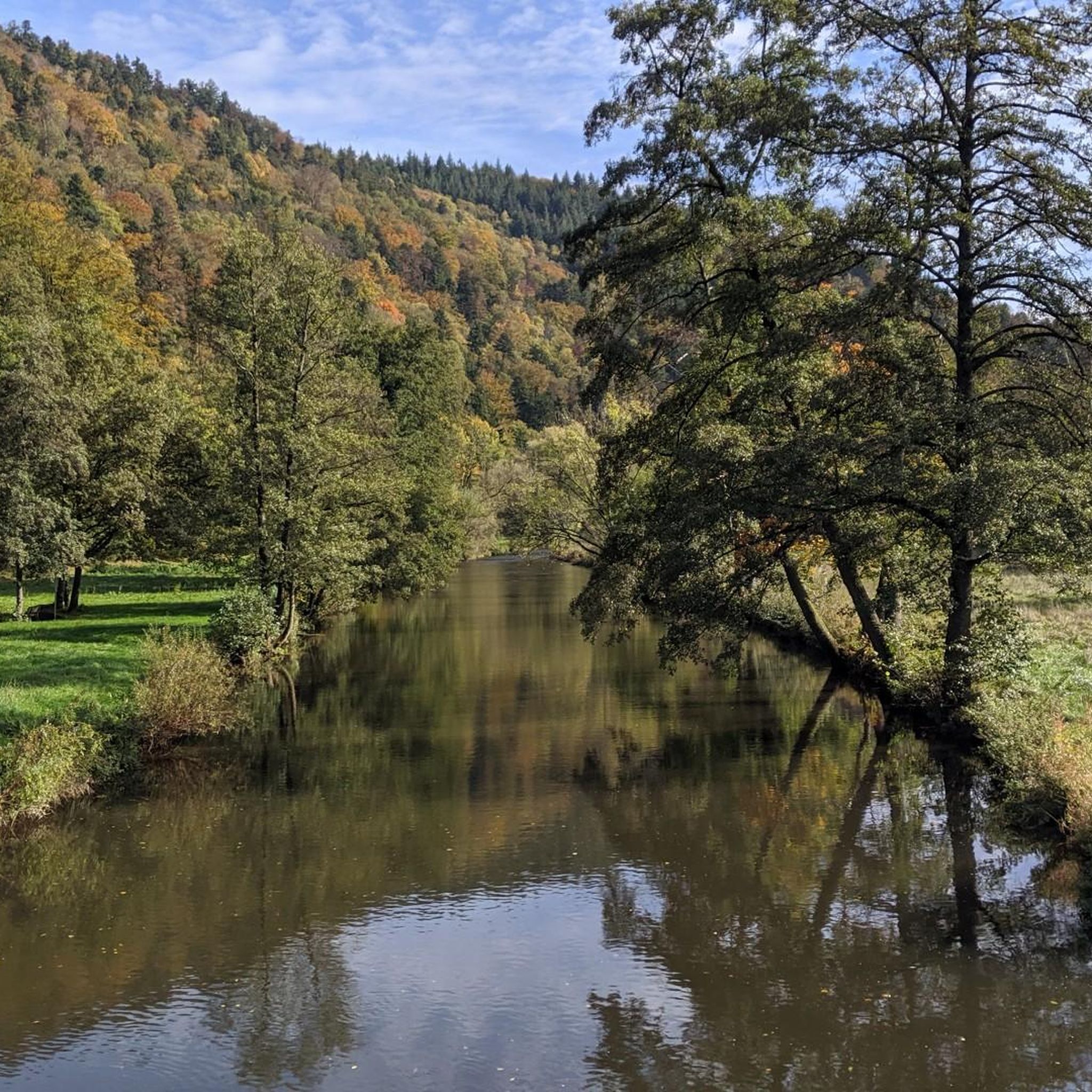
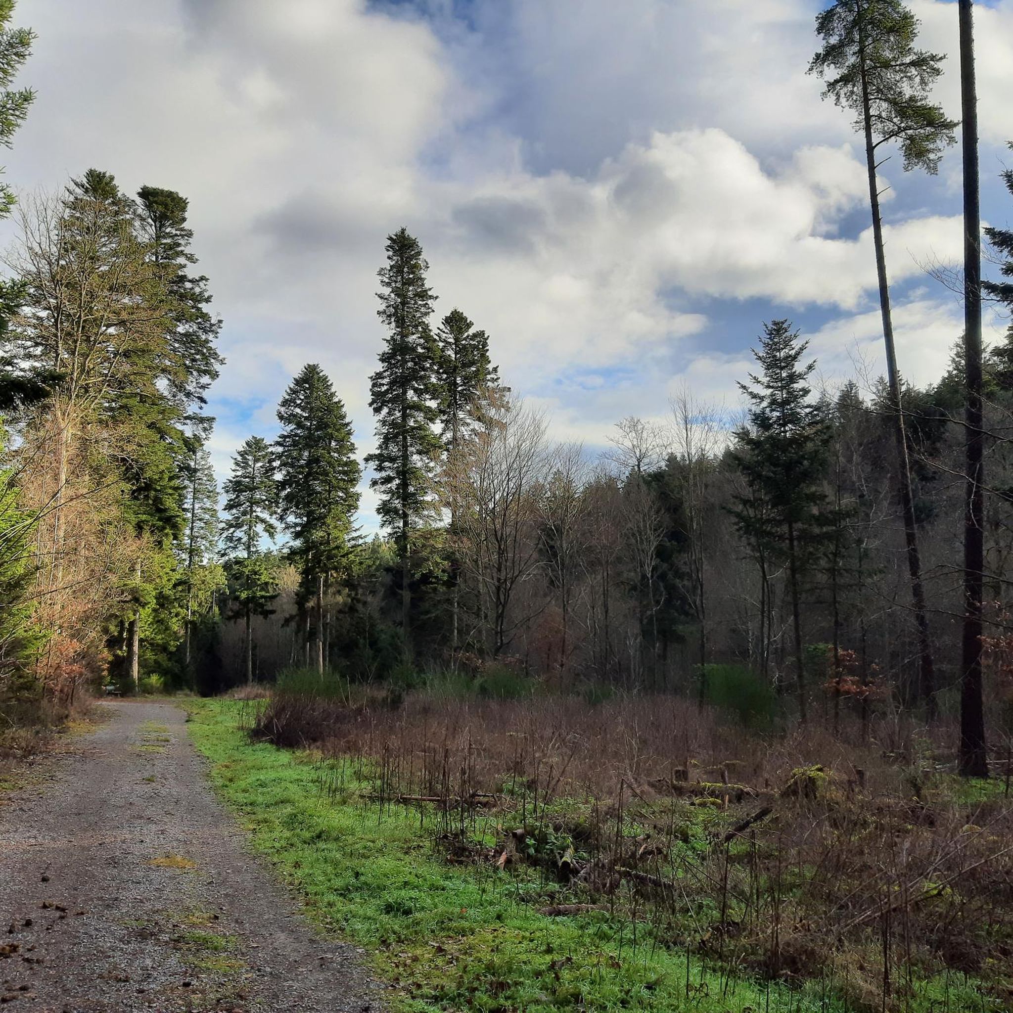
Nagoldtalradwegの最も美しい区間は、Pfrondorfer Mühleを過ぎてPforzheimまでです。全区間舗装されており、いつでも足を水に浸すことができます。特にMonbachtalでは、数多くの飲食店が立ち寄りを誘っています。営業時間外に到着した場合でも、自動販売機が24時間利用可能です。また、Monbachschluchtの渓谷に分け入るハイカーたちにとっても人気の出発点です。さらに、ここではGodi Golfをプレイすることもできます。
6
0
修道院のすぐ隣には、かつての製粉所を通り過ぎるサイクリングロードがあります。 ここでは、1898年製の古い水車を間近で見ることができます。直径は5.20m、羽根は36枚あります。羽根の幅は2.30mです。水車の前には2つの休憩ベンチがあります。
6
0

2026年から石畳の区間が設けられました。現代のコンクリート舗装ではなく、本当にひどい石畳です。なぜこんなことをするのでしょうか?ロードバイクではギリギリです。幸い短い区間でした。
0
0

代わりに連邦道路を走る理由は実質的にありません。ここでは静かに過ごせ、追い越しのできないカーブでのストレスを避け、古い駅の近くのコブを越えるよりも数メートルの高さを節約できます。交通量のない夜でも、こちらを走る方が好きです。 2026年8月更新:古い公共事業所のあたりで、かつて良好だったアスファルトが、地下工事の後、約100メートルにわたって削られた石畳に置き換えられました。なぜ?誰も知りません。グラベルバイクでも今はイライラしますが、連邦道路も残念ながらÖlanderleではイライラします。
0
0

絶対的なプレミアムビューポイントで、木組みの村ライヒェンタールとムルク川渓谷、そしてバーデン家の山々を見渡せます。特に夕日の時間帯はおすすめです。ただし、車で直接アクセスして駐車できるため、かなり混雑します。冬には、スノーハイカーが訪れる時期には、最後の駐車スペースをめぐって争いが起こることもあります(笑)。 夏には、毎日正午から夜遅くまでバイクが集まります。多くの人はマナーを守り、サイクリストにも配慮しています。私も頻繁に訪れるので、顔見知りの人もいて、楽しくおしゃべりできます。残念ながら、一部のテストステロンに影響された、思春期前の大脳皮質を持つ人々は、お互いに感心させようと、わざとスピードを出したり、ウィリーをしたりして、やりすぎることがあります。週末にスポーツカーを借りて、100から200キロまでの加速を試したいだけの、スポーツ/レース志向のドライビングセーフティトレーニングを一度も受けたことがなく、せいぜいPlayStationの「Need for Speed」でコントローラーを「練習」しただけの連中も同様です。これは非常に不快なだけでなく、非常に危険です。エント渓谷から来る場合、駐車場への左折時には、誰も来ていないことを5回は確認した方が良いでしょう。たとえ、リラックスできるようなデイベッドがあっても、時折見られる攻撃的な雰囲気のため、私はここには長く留まりません。
0
0


最初は非常に急で、長く、挑戦的です。
0
0
ウンターライヒェンバッハでのの人気観光スポット

komootモバイルアプリでインスピレーションを得よう


さらに探索
他の地域の最高のロードサイクリングルートを見てみましょう。
