ヴァッレフィオリータのおすすめMTBライド
4.5
(20)
60
ライダー
35
ライド
Vallefiorita周辺のマウンテンバイク体験は、カラブリア州の多様な地形を提供します。この地域は、山岳地帯、鬱蒼とした森林、そして重要な自然公園に近いことが特徴です。モンテ・コヴェッロのような顕著な山々があり、舗装路と未舗装路が混在し、様々なスキルレベルに適しています。Vallefioritaはプレ・セッレ地域に位置し、谷、峡谷、広大な森林で知られ、カラブリア州の国立公園や地域公園内の広範なトレイルネットワークに繋がっています。
Vallefiorita周辺のベストマウンテンバイクトレイル
- 最も人気のあるマウンテンバイクトレイルは、サン・ヴィート・スッロ・イオニオ発のソヴェラート・ビーチ – ピッツォ・ループで、距離は64.2マイル(103.4 km)、所要時間は9時間52分です。この挑戦的なルートは、広大な海岸線の眺めと多様な景観を提供します。
- 地元のマウンテンバイカーに人気のもう一つのトレイルは、カタンツァーロ発のウォー・メモリアル、スクイッラーチェ – ジリファルコ・ループで、中程度の難易度で30.6マイル(49.2 km)のルートです。このルートは、地域の歴史的な町や文化的な史跡を巡ります。
- Vallefioritaの地元マウンテンバイカーに愛されているのは、ポリア発のピッツォ – アンギトーラ湖ループで、距離は33.8マイル(54.4 km)です。このトレイルは、湖の景色を楽しみながら変化に富んだ地形を走り抜け、所要時間は約3時間50分です。
- Vallefiorita周辺のマウンテンバイク体験は、モンテ・コヴェッロのような緑豊かな山々、セッレ地域の深い谷、そして広大な国立公園のトレイルへのアクセスによって特徴づけられます。このネットワークは、舗装路での簡単なライドから、良好な体力が必要なより挑戦的なトレイルまで、様々なオプションを提供します。
- Vallefioritaのルートは、komootコミュニティから平均4.7つ星(約10件のレビュー)と高く評価されています。40人以上のマウンテンバイカーがkomootを利用して、Vallefioritaの多様な地形を探検しました。
最終更新日: 10月 7, 2026
5.0
(1)
8
ライダー
103km
09:46
3,070m
3,070m
難しいマウンテンバイクライド. 標準以上のフィットネスレベルが必要です。 あらゆるスキルレベルに適しています。
4.7
(3)
8
ライダー
49.3km
03:22
800m
800m
中程度のマウンテンバイクライド. ある程度のフィットネスレベルが必要です。 あらゆるスキルレベルに適しています。

5.0
(1)
5
ライダー
52.5km
03:40
990m
990m
難しいマウンテンバイクライド. 標準以上のフィットネスレベルが必要です。 あらゆるスキルレベルに適しています。
5.0
(1)
4
ライダー
43.7km
03:39
1,110m
1,110m
難しいマウンテンバイクライド. 標準以上のフィットネスレベルが必要です。 高度なライディングスキルが必要です。
5.0
(1)
6
ライダー
25.5km
02:03
660m
660m
中程度のマウンテンバイクライド. ある程度のフィットネスレベルが必要です。 あらゆるスキルレベルに適しています。
さらに多くのルートや他のユーザーのおすすめ情報を確認できます。
すでにアカウントをお持ちですか?
おすすめのツアーは他のkomootユーザーが実際に経験した何千ものアクティビティに基づいています。
無料アカウントで今日から始めよう
次の冒険が待っています。
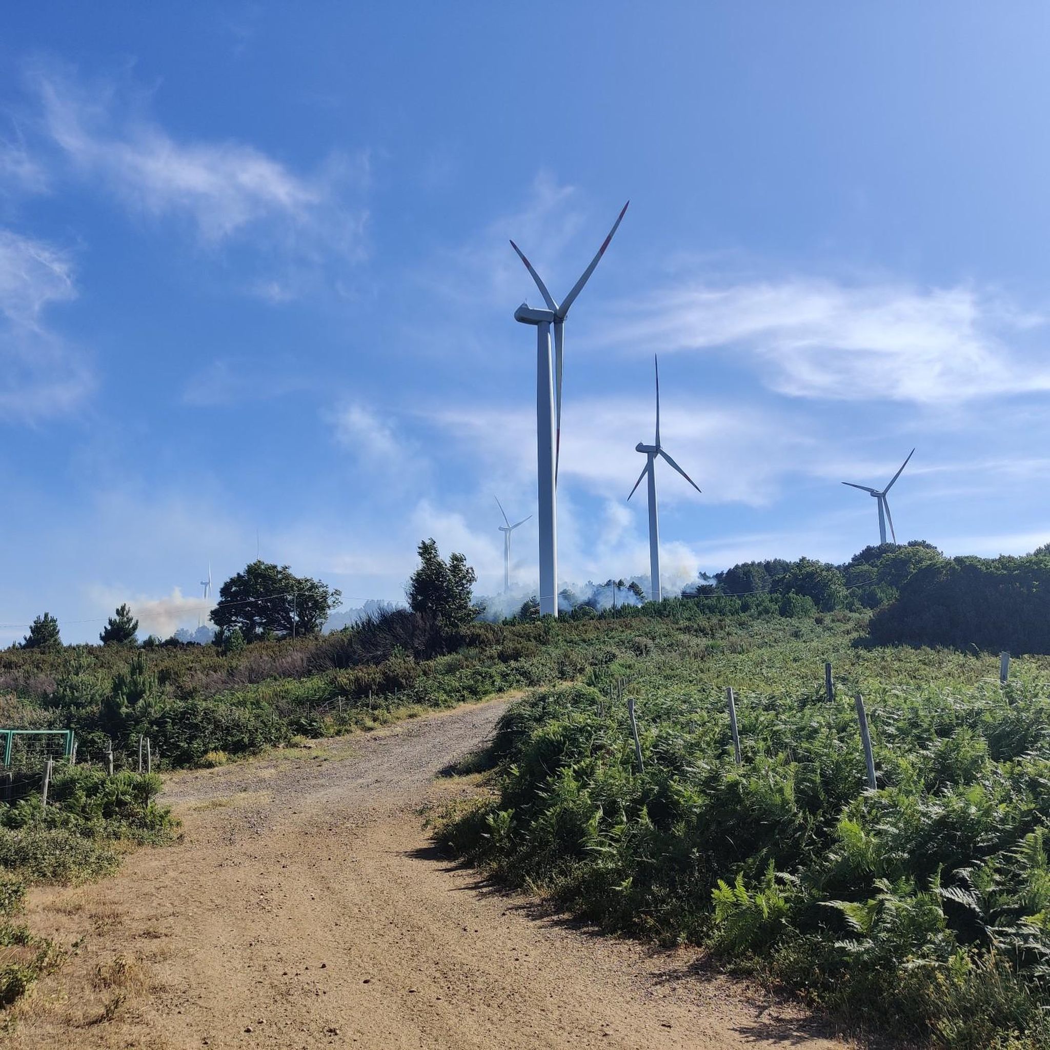
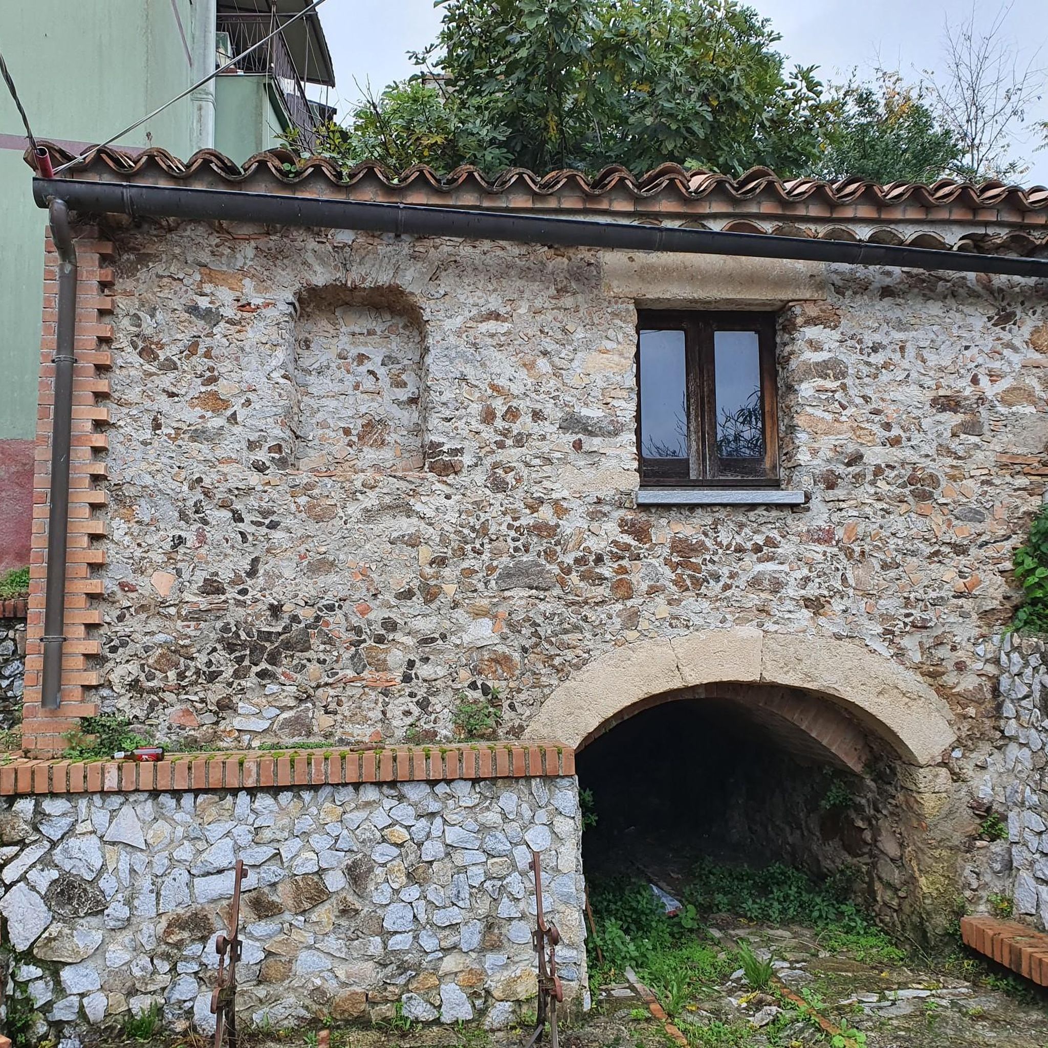
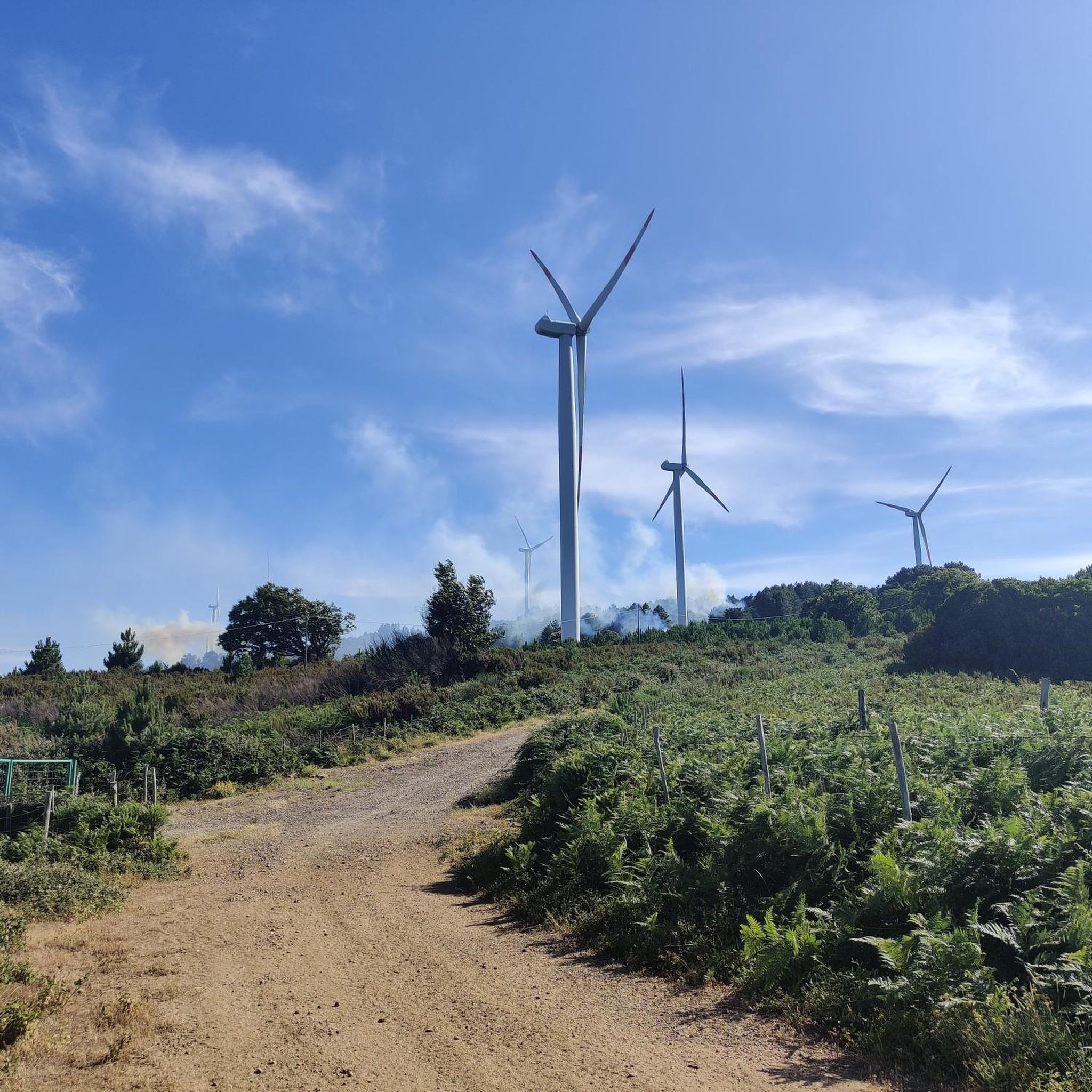

コミュニティからのヒント


Montepaone-Montauro, Station, Italian Railways, Montepaone Lido Montepaone-Montauro station is a station on the Catanzaro Lido - Monasterace railway line on the Ionian Railway, on the Catanzaro Lido - Monasterace section. https://www.trenitalia.com/it.html https://www.thetrainline.com/de/bahnhoefe/montepaone-montauro
14
0
Montepaone Lido: Picture-Perfect Sea and Beaches What's the sea like in Montepaone? The Montepaone Lido coastline boasts clear waters and sandy bottoms, ideal for swimmers and snorkelers. The expansive, well-maintained beach offers both the freedom of a public beach and the amenities of well-equipped beach clubs. Montepaone Beach Clubs Among the best options for enjoying the sea in complete relaxation are the numerous beach clubs offering services such as sun umbrellas, loungers, and restaurants serving traditional cuisine. The presence of bars and restaurants along the beach also makes Montepaone Lido a perfect destination for an aperitif with a sea view. If you're planning a trip to Calabria, Montepaone is the perfect place to discover the region's most authentic and relaxing side. Text / Source: Rada Siri, Via Nazionale, 249 88060 Montepaone Lido (Catanzaro) Calabria https://radasiri.it/en/montepaone-3/
14
0
War Memorial, Squillace Commemorating the fallen of World War I and World War II. Corso Guglielmo Pepe, Squillace CZ
14
0
Girifalco lies in the center of the Isthmus of Catanzaro. Girifalco lies in the center of the Isthmus of Catanzaro, the narrowest point of the Italian peninsula, at the foot of Monte Covello (848 m above sea level), a subrange of Monte Serralta in the northern Serre region, at an altitude of 456 m above sea level. As some finds in the Caria district show, there were settlements in the upper reaches of the Alessi stream before Magna Graecia. In the early 17th century, Girifalco was a fief of the Caracciolo family and then belonged to the Ravaschieri family. After a few years, the fief returned to the Caracciolo family thanks to the marriage between Duchess Ravaschieri of Girifalco and a certain Annibale Caracciolo. From them was born Fabrizio Caracciolo, second Duke of Girifalco, the creator of a very prosperous period for the feud during his duchy, which lasted from 1634 to 1683 and consolidated the socioeconomic development of the city with the presence of the university and the feudal institution. Duke Caracciolo had the Reformed Convent built in 1635 and donated it to the Friars Minor, who erected a statue in his gratitude and placed it near the convent itself. Mayor Carlo Pacino commissioned important works such as the first municipal hall around the mid-1600s, the extension of the Church of San Rocco, and a few decades later, in 1663, the monumental Baroque fountain. In the 17th century, the inhabited center expanded more and more, and there were several churches (the ones of San Rocco and the matrix of the Pioppi district being the most important), two important monasteries, the Municipal House, the Ducal Palace (the Duke's residence), and even the city's coat of arms was built. At the end of the 18th century, another earthquake struck Calabria and the town of Girifalco, the one of March 28, 1783. The center was destroyed or severely damaged, as was the Pioppi district, including the mother church (already severely damaged in the 1638 earthquake and subsequently renovated), which would never be rebuilt. Its functions were transferred to the church of the Dominican convent, which thus became the new mother church. Text / Source: Comunicazione Girifalco https://unsic.it/comunicazione/girifalco/
15
0
The Village of Girifalco The village of Girifalco lies at the foot of Monte Covello, between the Gulf of Squillace and the Gulf of Sant'Eufemia, and in the heart of the Isthmus of Catanzaro, the narrowest point of the Italian peninsula. Girifalco owes its origins to the destruction of the two older villages of Toco and Caria by the Saracens in 836. The villagers sought refuge on the rock known as the "Pietra dei Monaci" ("Monk's Stone"). Text / Source: turiscalabria.it http://www.turiscalabria.it/website/?lang=de&categoria=/wo/paesi/&view_type=s&id=639&title=.html
15
0

Beautiful recreational area above San Vito sullo Iono
8
0

They are by no means mere relics of a bygone era, the "Monumento dei' Caduti" found almost everywhere in villages and towns, commemorating the many victims of war and tyranny. Their design varies, but what they all have in common is that they constantly remind us of the need to preserve peace.
0
0
よくある質問
Vallefiorita周辺にはマウンテンバイクのトレイルがいくつありますか?
Vallefiorita周辺には25以上のマウンテンバイクトレイルがあり、サイクリストに多様な体験を提供しています。これらのルートはkomootコミュニティから高く評価されており、平均スコアは4.7つ星です。
Vallefioritaのマウンテンバイクトレイルではどのような地形が期待できますか?
Vallefioritaのマウンテンバイクトレイルは、Serralta di San Vitoの麓にある起伏のある丘陵や谷から、広大なオリーブ畑や緑豊かな景観まで、多様な地形が特徴です。挑戦的な登り坂と下り坂が組み合わされており、一部のルートからはAlessi川とSquillace湾の景色を眺めることができます。
Vallefioritaには初心者や家族向けのトレイルはありますか?
多くのトレイルは中級から上級向けですが、いくつか簡単なオプションもあります。より楽なライドを求める方のために、2つの簡単なルートがあります。ご家族のスキルレベルに適しているかを確認するために、常にkomootで特定のトレイルの詳細(獲得標高や技術的な難易度)を確認することをお勧めします。
Vallefioritaでのマウンテンバイク中に見られる注目すべき自然の魅力は何ですか?
この地域にはいくつかの自然のハイライトがあります。例えば、Monte Coppariのブナ林、Serraの泉、または古代のオリエンタルプラタナスに出会うかもしれません。著名なMonte Covelloも地元のサイクリストに人気のスポットです。
マウンテンバイクルート沿いに歴史的または文化的な史跡はありますか?
はい、一部のルートは歴史的な地域を通過したり、その近くを通ったりします。例えば、カタンツァーロ発、Squillace~Girifalcoの戦争記念碑ループは、GirifalcoやSquillaceのノルマン城のような歴史的な町を巡ります。Vallefiorita自体は、古代の製粉所を持つ、中世起源と思われる村です。
海岸線の景色を楽しめるマウンテンバイクルートはありますか?
素晴らしい海岸線のパノラマを楽しむには、モンテパオーネ・モンタウロ発、ティレニア海沿岸の眺めループのようなルートを検討してください。より長いソヴェラートビーチ~ピッツォループ(Lago Acero発)も、イオニア海とティレニア海に向かって多様な景観を横断する際に、広範囲の海岸線の景色を提供します。
Vallefioritaエリアには周回型(ループ)のマウンテンバイクルートはありますか?
はい、Vallefiorita周辺のマウンテンバイクルートの多くはループ型として設計されています。例としては、ソヴェラートビーチ~ピッツォループ(Lago Acero発)、カタンツァーロ発、Squillace~Girifalcoの戦争記念碑ループ、そしてポリア発、ピッツォ~アンジトーラ湖ループがあります。
Vallefioritaでのマウンテンバイクに最適な時期はいつですか?
Vallefioritaの多様な景観は、海岸エリアから山岳地帯まで、様々な季節のマウンテンバイクに適しています。しかし、一般的に春と秋は、夏のピーク時の暑さを避け、より長いライドに最も快適な気温を提供します。
他のマウンテンバイカーはVallefioritaのトレイルで最も何を楽しんでいますか?
komootコミュニティはVallefioritaでのマウンテンバイク体験を高く評価しており、平均スコアは4.7つ星です。レビューでは、挑戦的な山道から景色の良いオリーブ畑まで、この地域の多様な地形と、自然の美しさや歴史的な場所の両方を探索できる機会がしばしば称賛されています。
湖の景色を楽しめるルートはありますか?
はい、ポリア発、ピッツォ~アンジトーラ湖ループは、多様な地形を通り抜け、アンジトーラ湖の絵のように美しい景色を提供する注目すべきルートです。
Vallefioritaで利用可能な最も長いマウンテンバイクトレイルは何ですか?
最も長いマウンテンバイクトレイルは、ソヴェラートビーチ~ピッツォループ(Lago Acero発)で、約103.4 km(64.2マイル)に及び、かなりの獲得標高を伴うため、やりがいのある終日アドベンチャーとなります。
ヴァッレフィオリータでのの人気観光スポット

komootモバイルアプリでインスピレーションを得よう


さらに探索
他の地域の最高のMTBトレイルを見てみましょう。
