4.4
(928)
14,816
ライダー
10
ライド
パストゥーロ周辺でのおすすめのサイクリングルートを参考にして、このエリアを最大限に楽しみましょう。ここでご紹介するのは、パストゥーロ周辺の人気バイクライドです。ぜひ、自分に合ったルートを見つけてください。
最終更新日: 9月 1, 2026
5.0
(6)
155
ライダー
30.2km
02:47
1,120m
1,120m
難しい自転車ライド. 標準以上のフィットネスレベルが必要です。 ツアーの一部で自転車を押して歩く必要があるかもしれません。
4.0
(1)
108
ライダー
30.0km
02:17
770m
770m
難しい自転車ライド. 標準以上のフィットネスレベルが必要です。 全般的に舗装された状態です。あらゆるスキルレベルに適しています。

無料新規登録
5.0
(2)
87
ライダー
56.9km
04:20
1,420m
1,420m
難しい自転車ライド. 標準以上のフィットネスレベルが必要です。 全般的に舗装された状態です。あらゆるスキルレベルに適しています。
4.7
(6)
100
ライダー
21.9km
02:06
790m
790m
難しい自転車ライド. 標準以上のフィットネスレベルが必要です。 全般的に舗装された状態です。あらゆるスキルレベルに適しています。
4.6
(5)
88
ライダー
28.3km
02:31
880m
880m
難しい自転車ライド. 標準以上のフィットネスレベルが必要です。 全般的に舗装された状態です。あらゆるスキルレベルに適しています。
さらに多くのルートや他のユーザーのおすすめ情報を確認できます。
無料新規登録
すでにアカウントをお持ちですか?
おすすめのツアーは他のkomootユーザーが実際に経験した何千ものアクティビティに基づいています。
無料アカウントで今日から始めよう
次の冒険が待っています。
ログインまたは登録
完全に舗装されたサイクリングロードで、日当たりの良い場所です
0
0
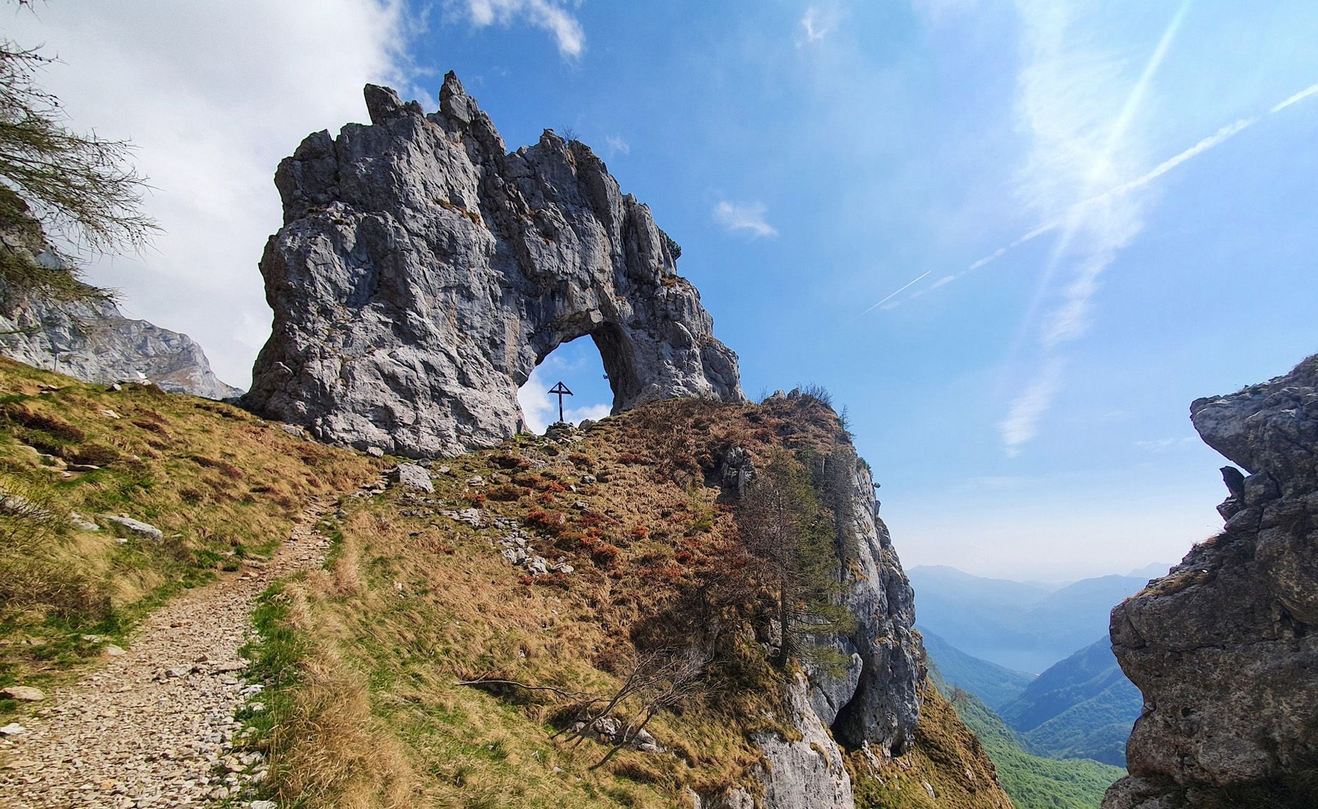
𝗥𝗶𝗳𝘂𝗴𝗶𝗼 𝗔𝗻𝘁𝗼𝗻𝗶𝗲𝘁𝘁𝗮𝗹𝗲𝗿𝗮𝗹 – 𝗚𝗿𝗶𝗴𝗻𝗮𝗻𝗱 𝗦𝗲𝘁𝘁𝗲𝗻𝘁𝗿𝗶𝗼𝗻𝗮𝗹𝗲 𝗣𝗼𝘀𝗶𝘇𝗶𝗼𝗻𝗲 𝗲𝗼𝗻𝗱𝗮𝘆 𝗦𝗲𝘁𝗲𝗻𝘁𝗿𝗶𝗼𝗻𝗮𝗹𝗲 𝗣𝗼𝘀𝗶𝘇𝗶𝗼𝗻𝗲 𝗲𝗼𝗻𝗱𝗮𝘆 𝗔𝗹𝘁𝗶𝘁𝘂𝗱𝗶𝗻𝗲 The Antonietta al Pialeral refuge is located in Pialeral, on the south-eastern slopes of the Grigna Settentrionale (Grignone), in the municipality of Pasturo (LC), Valsassina. It is located at 1,370 m above sea level, in a panoramic point overlooking Valsassina. GPS coordinates are 45.94544° N, 9.41609° E. 𝗣𝗲𝗿𝗰𝗼𝗿𝘀𝗶 𝗱𝗶 𝗔𝗰𝗰𝗲𝘀𝘀𝗼 • From Pasturo (640 m): Trail no. 33, difference in altitude +750 m, duration approximately 2 hours, difficulty E. • From Balisio (830 m): Trail no. 31, difference in altitude +540 m, duration ~1 hour 30 min, difficulty E. (Both routes can also be traveled by MTB/e-bike, with a charging point at the refuge.) 𝗔𝗰𝗰𝗲𝘀𝘀𝗼 𝗩𝗲𝗶𝗰𝗼𝗹𝗮𝗿𝗲 The agro-silvo-pastoral road from Pasturo/Balisio is closed to private traffic. Access by car or motorbike is only possible with a special permit. Non-residents must leave their vehicles in the valley and continue on foot. 𝗖𝗼𝗻𝗱𝗶𝘇𝗶𝗼𝗻𝗶 𝗜𝗻𝘃𝗲𝗿𝗻𝗮𝗹𝗶𝗻𝗴 In the winter months the paths may be snowy or icy. Technical clothing, mountain boots, crampons or snowshoes are required depending on the conditions. The weather can change rapidly, so it is advisable to check the forecast before the climb. 𝗨𝗹𝘁𝗲𝗿𝗶𝗼𝗿𝗶 𝗜𝘁𝗶𝗻𝗲𝗿𝗮𝗿𝗶 • Traversata Bassa and Traversata Alta delle Grigne: itineraries that connect various refuges in the area, suitable for expert hikers (EE in some sections). • Ascent to Cima del Grignone (2,409 m): from Rifugio Antonietta it is possible to continue to Rifugio Brioschi, ascent time ~3 hours and 30 min, difficulty EE.
0
0
Convenient for a stop before tackling the climb to the Brioschi Refuge.
0
0


他の地域の最高のサイクリングルートを見てみましょう。