ルート

プランナー

機能

アップデート

App

ログインまたはサインアップ

アプリを入手

ログインまたはサインアップ

ルート
Places to see
Natural Monuments
イタリア
ロンバルディア
レッコ

オルジャーテ・モルゴラ

オルジャーテ・モルゴラの天然記念物・トップ20


オルジャーテ・モルゴラが誇る美しい風景を見てみたいなら、オルジャーテ・モルゴラの素晴らしい天然記念物・トップ20
に行ってみましょう。あなたにぴったりの場所が見つかるよう、素晴らしい天然記念物を探索するために必要なすべての情報を集めました。次のアウトドアの冒険に出かける計画の参考にしましょう。

最終更新日: 7月 10, 2026

モンテ・バッロ山頂の眺め

ハイライト • 山頂

from Monte Barro you can enjoy a wonderful view of the surrounding lakes

翻訳者 Google •

役立つ情報

によるものです

ここでのハイキングを見る

スマートフォンに送信

保存

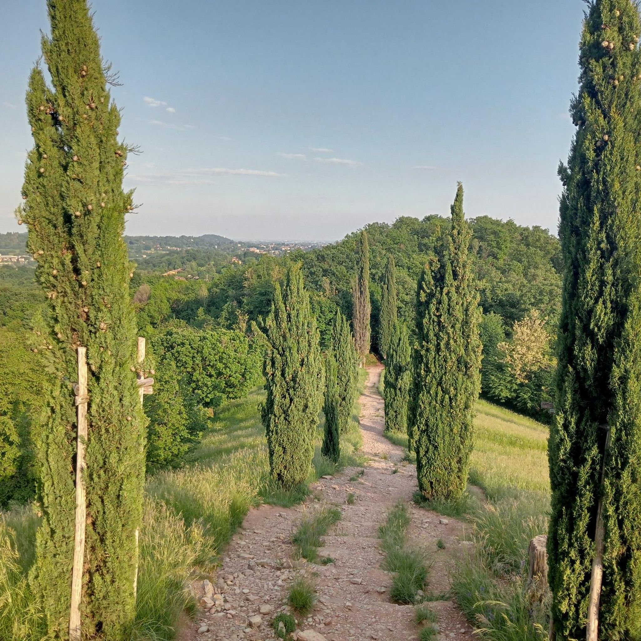
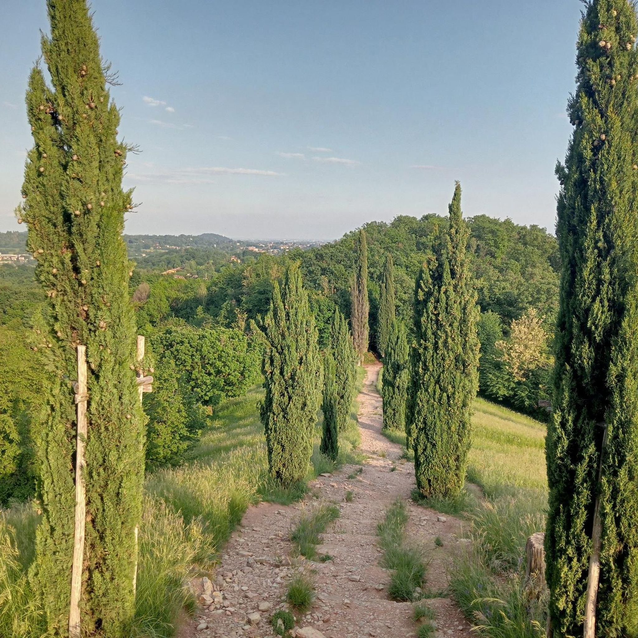
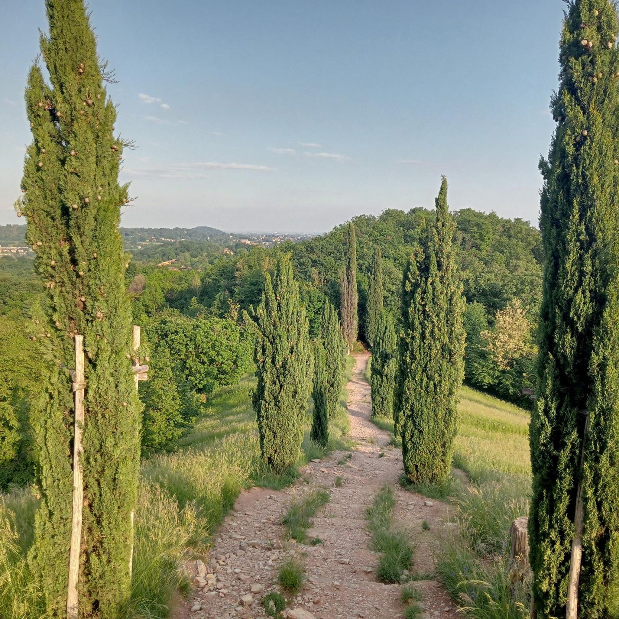
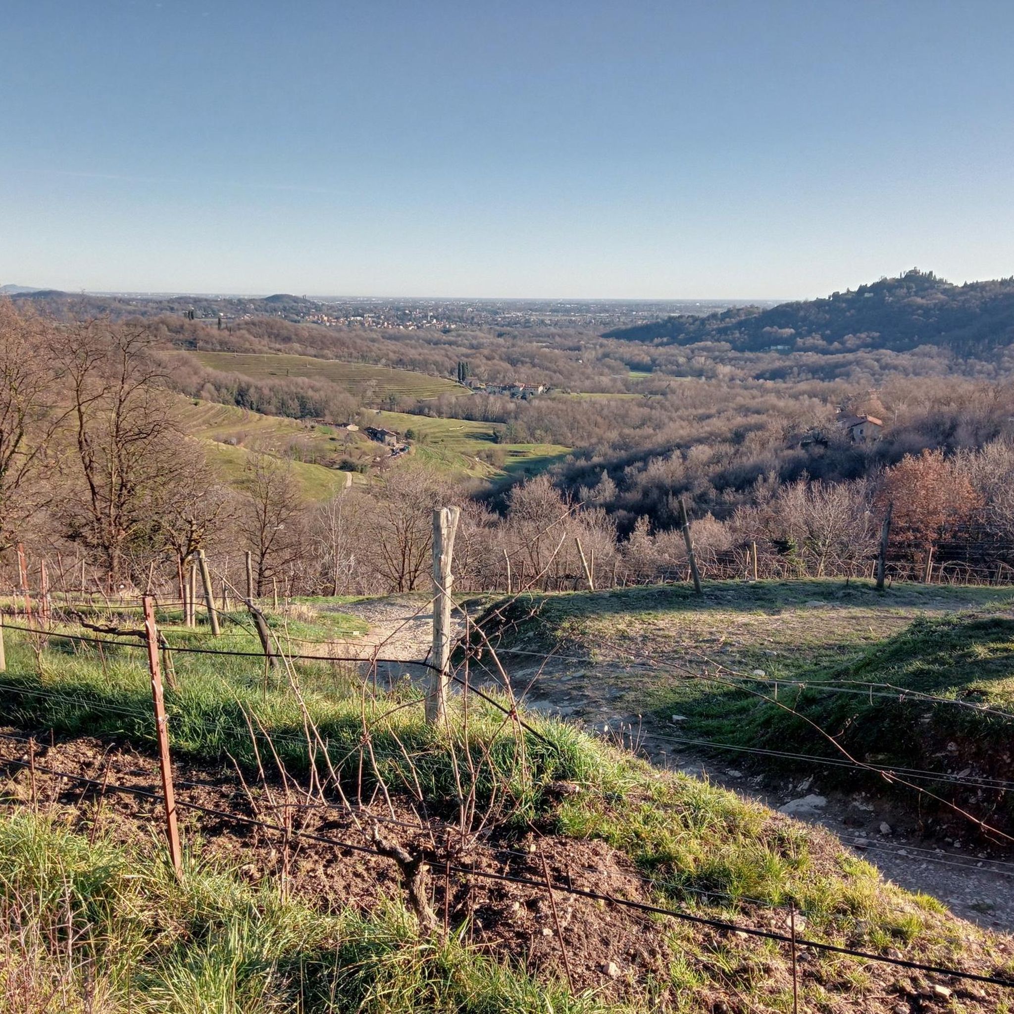
糸杉の峰

ハイライト • 展望台

A wonderful view with fantastic cypress trees as a backdrop.

翻訳者 Google •

役立つ情報

によるものです

保存

今すぐサインアップして、こんな場所を発見しよう

最高のシングルトラック、ピーク、その他のエキサイティングなアウトドアスポットのおすすめを受け取ろう。

無料新規登録

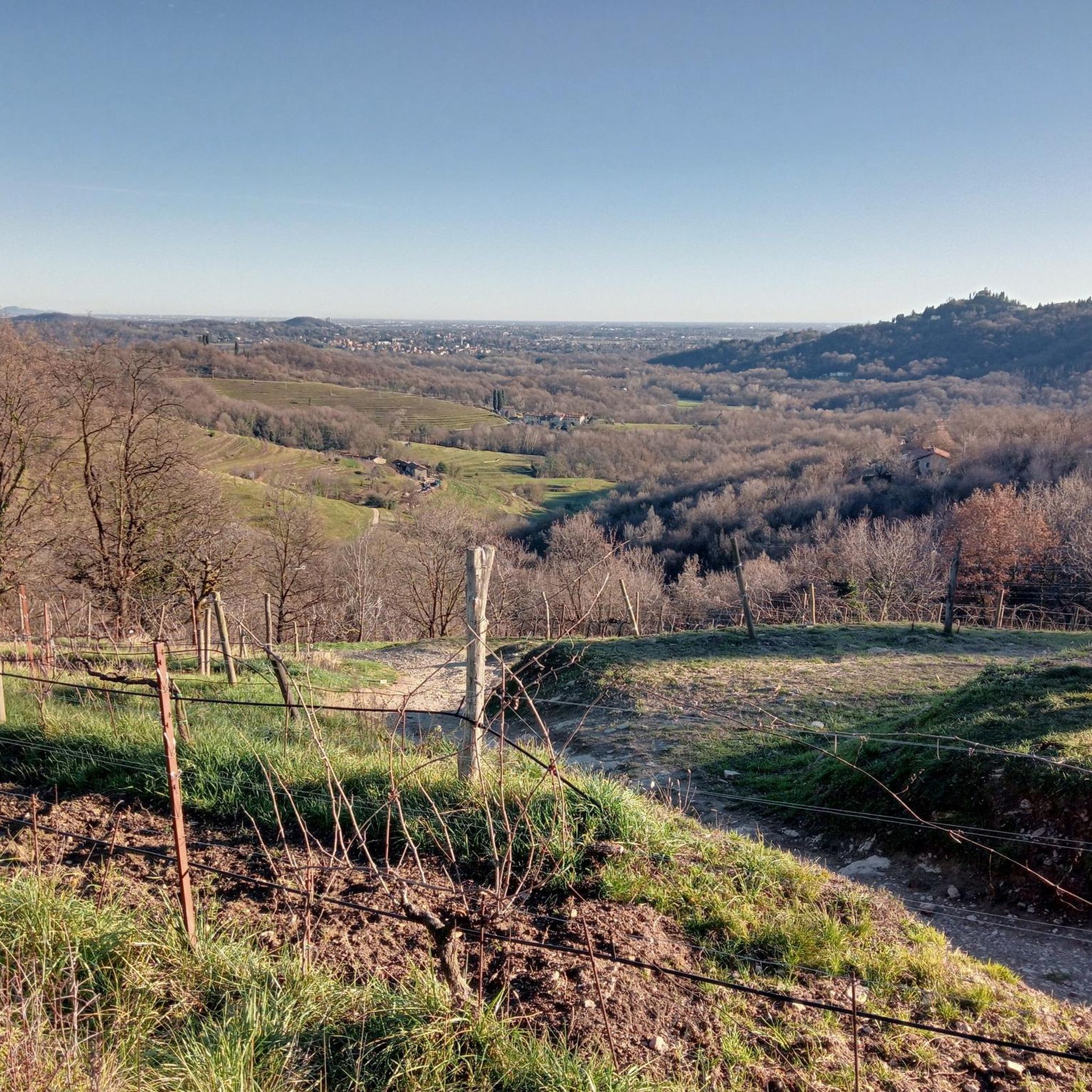
Departure and return from Lomagna, the route develops on the permitted paths describing a double ring touching Bernaga Inferiore. Some technical snatches and a descent with steps to be managed carefully, a remarkable panorama

翻訳者 Google •

役立つ情報

によるものです

保存

モンテ・リンツォーネ山頂

ハイライト • 山頂

Monte Linzone 1392 meters, spectacular view.

翻訳者 Google •

役立つ情報

によるものです

保存

The middle of the three horns on Monte Barro

翻訳者 Google •

役立つ情報

によるものです

保存

無料でサインアップして、さらに多くの自然記念物を発見しましょう オルジャーテ・モルゴラでの。

無料新規登録

すでにアカウントをお持ちですか?

無料アカウントで今日から始めよう

次の冒険が待っています。

ログインまたは登録

オルジャーテ・モルゴラ周辺で人気

オルジャーテ・モルゴラでのハイキング

オルジャーテ・モルゴラのロードバイクルート

オルジャーテ・モルゴラでのサイクリング

オルジャーテ・モルゴラでののグラベルライド

オルジャーテ・モルゴラのランニングコース

オルジャーテ・モルゴラのMTBトレイル

コミュニティからのヒント

Andrew F 🇮🇹 (MTB e Trekking)
5月 19, 2025, Cima dei Cipressi

follow the path that continues beyond to cross the three peaks of the pyramids

Google翻訳による翻訳

1

0

Horns to visit linked

Google翻訳による翻訳

0

0

Certainly the most beautiful place to stop on a tour of Curone.

Google翻訳による翻訳

0

0

To reach Secondo Corno, you generally start from Galbiate, following the Via dell'Oliva to a car park located at about 345 metres above sea level. From here, the path climbs steeply through the woods, leading to Primo Corno (768 metres), continues with a short descent to Secondo Corno (791 metres), and finally descends to Terzo Corno (820 metres) before reaching the summit of Monte Barro (922 metres). The route is suitable for hikers with good physical preparation and offers an immersive experience in nature, with the possibility of observing a rich biodiversity and enjoying unique panoramic views. It is particularly appreciated in spring and autumn, when the climate is mild and the vegetation is particularly lush. For further details on the route and the characteristics of Secondo Corno, you can consult the official website of the Parco del Monte Barro.

Google翻訳による翻訳

1

0

Be careful, it is forbidden to ride a bike from the top of the cypress trees. If the guards (who are looking through binoculars) catch you, you will be fined. In itself, it is worth going up on foot. The place is shrouded in legend. The hill of the cypress trees, a sort of natural sanctuary surrounded by 12 cypress trees. In 2001, through aerial surveys, a very bizarre coincidence was noticed. The area has 3 stepped pyramids, of equal slope, arranged quite close together, as if to simulate an astronomical observatory or a sacred-religious place. The first of the three pyramids is precisely that of the cypresses. Once you reach the top, you can enjoy a beautiful view, there is a sort of small stone altar and it is already a good place to take some photographs. Then you begin to gently descend along path 11 and you can reach the second of the pyramids of Montevecchia, the pyramid of Belvedere Cereda. It is a bare pyramid, very suggestive that allows you to observe the Curone park from the highest point. It is thought that the Celts used the pyramid as an astronomical observatory.

Google翻訳による翻訳

0

0

Take-off point for paragliding enthusiasts

Google翻訳による翻訳

0

0

very special, I recommend it to see

Google翻訳による翻訳

0

0

from Monte Barro you can enjoy a wonderful view of the surrounding lakes

Google翻訳による翻訳

0

1

オルジャーテ・モルゴラでのの人気ルート

オルジャーテ・モルゴラでのハイキング

オルジャーテ・モルゴラでのの人気観光スポット

Places to see

Store rating

komootモバイルアプリでインスピレーションを得よう

無料のkomootアカウントがあれば、無限のアウトドアコースを簡単に見つけてカスタマイズし、ナビで案内できます。

または

今すぐkomootに参加しよう

Store rating

さらに探索

これらのガイドで、最高の洞窟を探す範囲を広げましょうオルジャーテ・モルゴラでの:

マンデッロデルラリオアッバディーア・ラリアーナリエルナオリヴェート・ラーリオヴァレンナヴァルマドレーラエージノ・ラリオコルテノーヴァイントロービオモルテローネクレメーノバッラービオプリマルナパストゥーロバルツィオカッシーナ・ヴァルサッシーナチヴァーテガルビアーテマルグラーテペスカーテクランドラ・ヴァルサッシーナパルラスコタチェーノチェザーナ・ブリアンザベッラーノスエッロモッジョカロルツィオコルテヴェルクラーゴガルラーテプレマーナオルジナーテマルニョボジージオ・パリーニカザルゴヴェンドローニョロージェノペルレードトッレデブシヴァルグレゲンティーノエルヴェオッジョーノブリーヴィオアンノーネ・ディ・ブリアンザカレンノモンテマレンツォコッレ・ブリアンザアイルーノコスタマズナーガデルヴィオモルテノコリコエロヴェストレーノパニョーナトレメニコカルコシローネドルツァーゴバルザーゴサンタマリアオエカステッロディブリアンザガルバニャーテモナステロイントロッツォブルチャーゴドリオスエーリオシルトリロマーニャカザテノーヴォオズナーゴニビオンノメラーテインベルサーゴパデルノ・ダッダヴェルデーリオカッサーゴ・ブリアンザラヴァニャーテブリアンザモンティチェッロブリアンザヴィガノバルザノミッサーリアロッビアーテクレメッラモンテヴェッキアチェルヌスコロンバルドンParco naturale di Montevecchia e della Valle di Curoneパルコモンテバロ

近くのアドベンチャーガイド

サンタマリアオエでやるべきこと

background

新しいピークを征服する準備をしよう

無料でサインアップ

探検する
ルートルートプランナー機能ハイキングMTBトレイルロードバイクルートバイクパッキングサイトマップ
アプリをダウンロード
SNSでフォローする

© komoot GmbH

プライバシーポリシー