パイスコ・ロヴェーノの絶景の山頂・トップ20
絶景を目指して登るのであれ、達成感のために登るのであれ、山頂を訪れることで、パイスコ・ロヴェーノの美しい自然をもっと満喫することができます。20
もの選択肢の中から、制覇する山頂を決めるのは簡単ではありません。スムーズに次の冒険で目指す山頂を選べるように、パイスコ・ロヴェーノの素晴らしい山頂をこのガイドにまとめました。
最終更新日: 10月 11, 2026
カンペッリ峠
ハイライト • 山道
翻訳者 Google •
役立つ情報 は

チモン・デッラ・バゴッツァ山小屋
ハイライト • 山小屋
翻訳者 Google •
役立つ情報 は

今すぐサインアップして、こんな場所を発見しよう
最高のシングルトラック、ピーク、その他のエキサイティングなアウトドアスポットのおすすめを受け取ろう。
モンテ・カンピオンチーノ
ハイライト • 山頂
翻訳者 Google •
役立つ情報 は
モンテ・サスナ山頂
ハイライト • 山頂
翻訳者 Google •
役立つ情報 は

ピッツォ・バディーレの眺め
ハイライト • 展望台
より良くナビゲートするための、明確で最新の情報概要を以下に示します。
🏔️ ピッツォ・バディーレ・カムーノのプロフィール
- 標高:海抜2,435m
- 位置:チェトとチンベルゴの間、アダメッロ山群。
- 山の特徴:孤立した頂、
「シャベル」のような形(名前の由来)、しばしば「カムーノのマッターホルン」と呼ばれる。
- 地質:非常に白い石灰岩の上部、ファサの暗い帯の上にあり、アダメッロ山塊の花崗岩基盤。
🧗♂️ ピッツォ・バディーレ・カムーノのフェラータ
この地域で最も有名で人気のあるルートの一つで、C/Dに分類されており、困難です。
- 総標高差:約1,385m
- 合計所要時間:約6時間30分(アプローチ+フェラータ+下山)。
- 難易度:技術的には中程度ですが、体力的に非常に要求が高い。
- 露出度:一定で、滑らかな岩盤上の装備されたセクションと、森の中のグレードIの通過箇所があります。
- 必須装備:ヘルメット、ハーネス、フェラータセット(岩はもろく、落石の危険があります)。
翻訳を表示中
役立つ情報 は

無料でサインアップして、さらに多くの山を発見しましょう パイスコ・ロヴェーノでの。
すでにアカウントをお持ちですか?
無料アカウントで今日から始めよう
次の冒険が待っています。
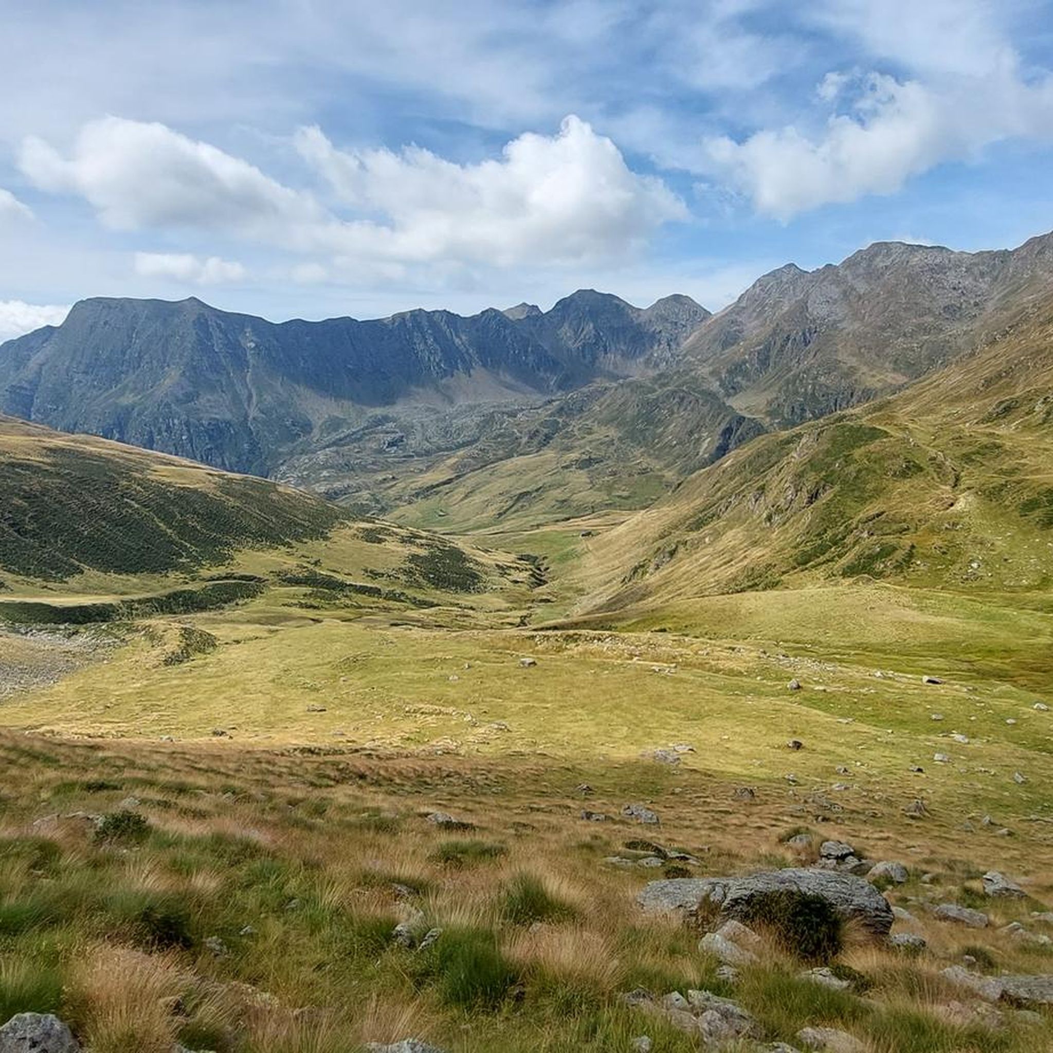
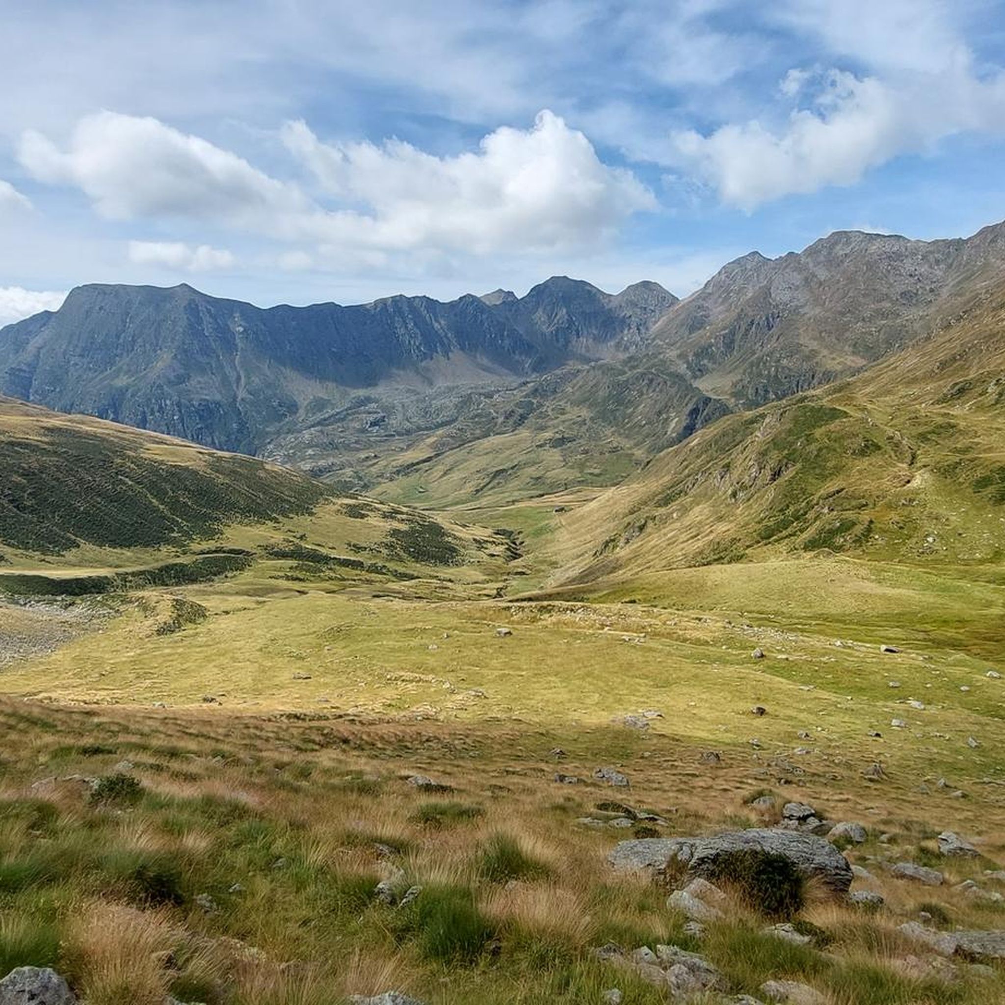
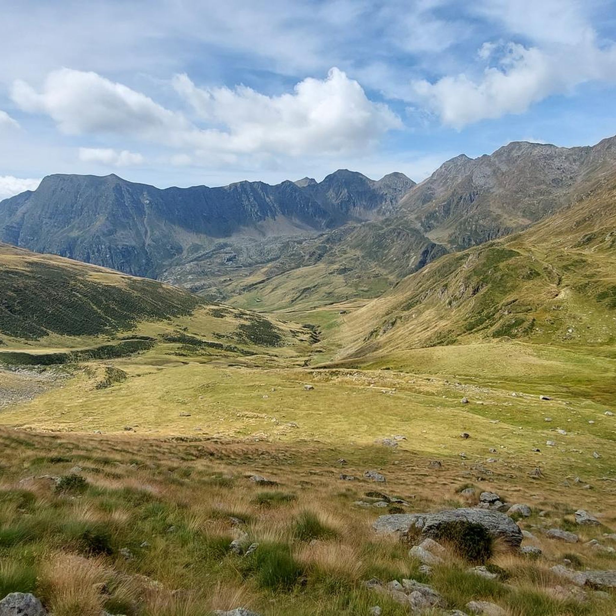
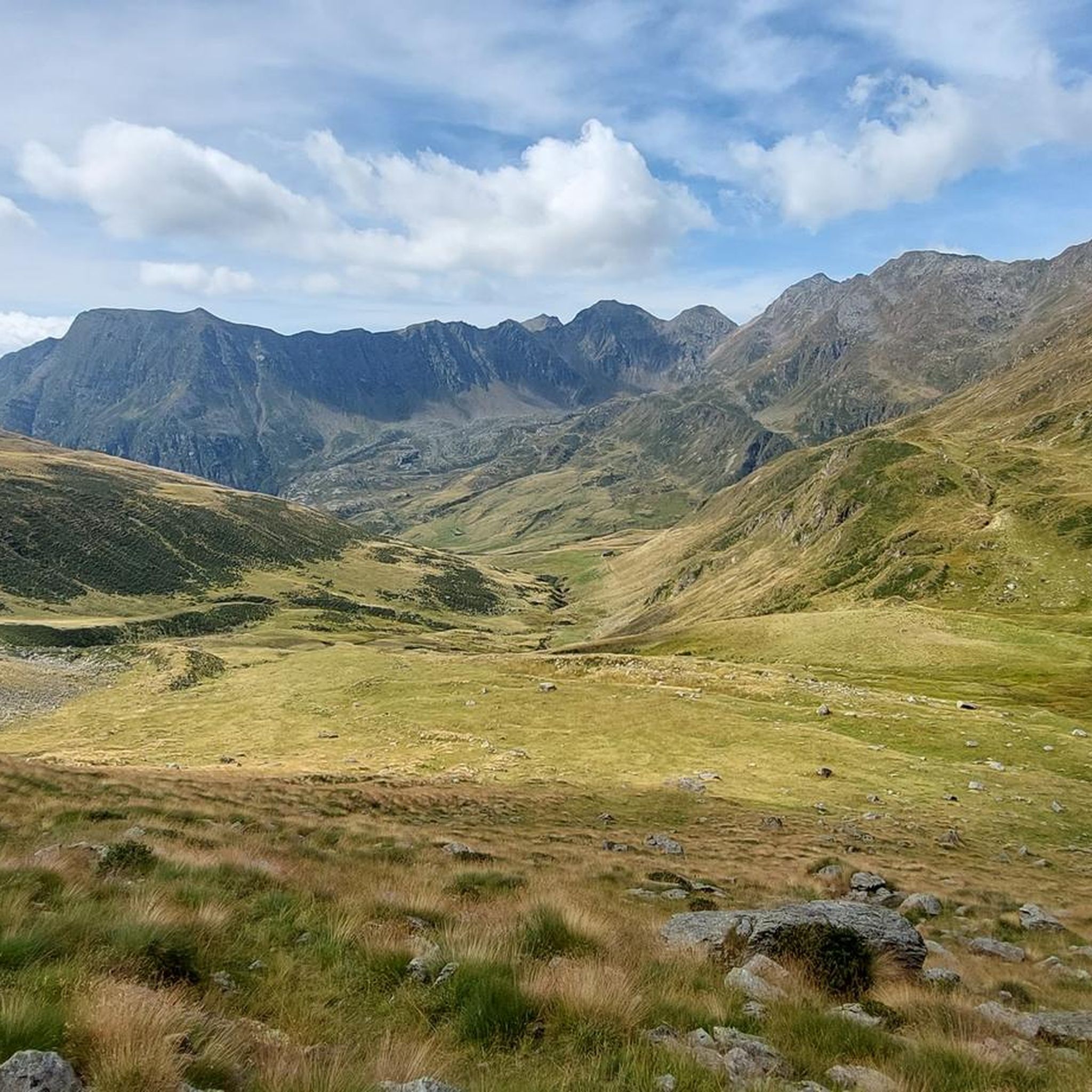

コミュニティからのヒント


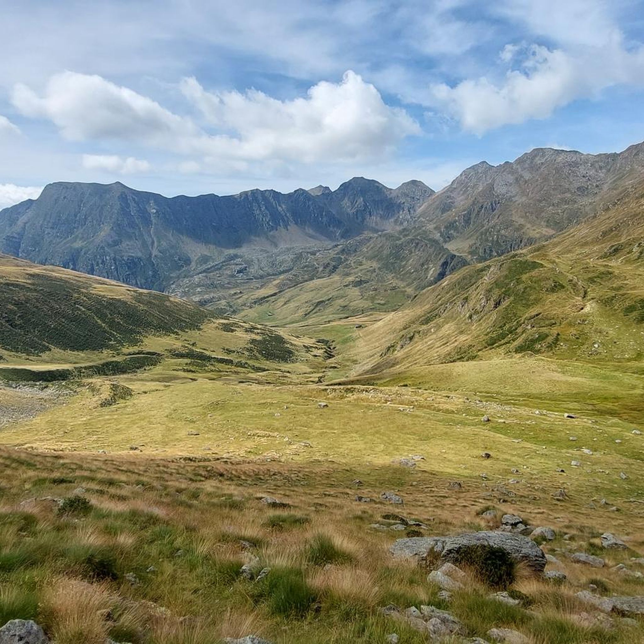
ピッツォ・バディーレ・カムーノは、中部のヴァル・カモニカで最も象徴的な頂の一つです。独特の形をした石灰岩の山で、標高は2,435m、壮大なパノラマと、困難ながらも非常に満足感のあるフェラータ(鎖場)が楽しめます。 より良くナビゲートするための、明確で最新の情報概要を以下に示します。 🏔️ ピッツォ・バディーレ・カムーノのプロフィール - 標高:海抜2,435m - 位置:チェトとチンベルゴの間、アダメッロ山群。 - 山の特徴:孤立した頂、 「シャベル」のような形(名前の由来)、しばしば「カムーノのマッターホルン」と呼ばれる。 - 地質:非常に白い石灰岩の上部、ファサの暗い帯の上にあり、アダメッロ山塊の花崗岩基盤。 🧗♂️ ピッツォ・バディーレ・カムーノのフェラータ この地域で最も有名で人気のあるルートの一つで、C/Dに分類されており、困難です。 - 総標高差:約1,385m - 合計所要時間:約6時間30分(アプローチ+フェラータ+下山)。 - 難易度:技術的には中程度ですが、体力的に非常に要求が高い。 - 露出度:一定で、滑らかな岩盤上の装備されたセクションと、森の中のグレードIの通過箇所があります。 - 必須装備:ヘルメット、ハーネス、フェラータセット(岩はもろく、落石の危険があります)。 🚶♂️ 登頂ルート(チンベルゴ – ヴォラーノから) 出発点:チンベルゴの上の未舗装道路、リフュージョ・デ・マリー(1420m)の近く。 1) アプローチ - CAIトレイル77、急で、すでに森の中に装備されたセクションがあります。 - チェーン付きの滑らかな岩盤上の通過箇所と、いくつかの岩場の越え。 - ヴォラーノ盆地と中部のヴァル・カモニカの眺めとともに、森から抜けます。 2) マリオ・ドナティ・ビバーク - 岩に埋め込まれた小さな木造構造物、休憩に最適な場所。 - ここから壁の基部に向かう最も露出度の高いセクションが始まります。 3) 最終フェラータ - 長く連続した金属ケーブル。 - 草の生えた岩の上での露出度の高い通過箇所と、斜めのトラバース。 - ピッツォを二つに分ける亀裂に到着:ここから頂上は近いです。 🌄 頂上からの眺め ヴァル・カモニカで最も広大な眺めの一つ: - アダメッロとピアン・ディ・ネーヴェ - コンカレナ - プレソラーナ - イゼーオ湖 - 空気が澄んだ日には、遠くのディスグラツィアとベルニナまで。 📜 歴史的概要 - 初の記録された探検:1855年、レガッツォーニ教授。 - 初の公式登頂:1884年5月25日、バラルディーニとベアトリチ。
0
0
The Cimon della Bagozza Refuge is located at 1,600 meters above sea level in the beautiful Conca dei Campelli, in the municipality of Schilpario (BG), in the Scalve Valley. It is an ideal destination for hikers, families, and snowshoers, nestled in the so-called "Little Bergamo Dolomites." 🏡 Main Information Management: Cimon della Bagozza Alpine Group – Manager Silvio Visini Phone: 0346 56300 Email: rifugiobagozza@hotmail.it Altitude: 1,600 m Beds: approximately 50 (35 indoors) Cuisine: Traditional Bergamo cuisine – the "Polenta e quel che c'è" menu is famous Open all year round Pets allowed 🥾 How to get there From Fondi di Schilpario: approximately 1 hour on foot, elevation gain +350 m By car: In summer, you can get very close to the refuge by parking in Cimalbosco Trails: CAI 419 and 428, also ideal for families and beginners ❄️ In winter The refuge is open even in the snow and is a perfect destination For: Snowshoeing Hiking with crampons Family weekend in the snow Always check the avalanche bulletin (ARPA Lombardia) before leaving 🌄 What to see nearby Lake Campelli Madonnina dei Campelli Mount Campioncino Don Giulio Corini Bivouac Cimon della Bagozza (2,407 m) – for experienced hikers
0
0
Mount Campioncino (2,102 m) is a panoramic peak in the Bergamo Prealps, located between the Scalve Valley (Bergamo) and the Camonica Valley (Brescia). It is a popular hiking destination for its spectacular views and relative ease of access. 🏔️ Key information Altitude: 2,102 m Starting point: Fondi di Schilpario (BG) or Passo dei Campelli Elevation gain: approximately 850–890 m Difficulty: hiking (E), with easy sections (F) on an unmarked trail Type of route: circular or round trip Duration: 4.5–6 hours total, depending on the route 🌄 View from the summit From the summit, you can enjoy a breathtaking view of: Presolana Cimon della Bagozza Monte Campione Concarena The valleys below: Val di Scalve and Val Camonica 🥾 Recommended itinerary Starting point: Fondi di Schilpario (1,249 m) Route: climb to Passo dei Campelli Monte Campioncino is considered a true balcony overlooking Val Camonica, with a view that it extends as far as Mount Adamello on clear days
0
0
The Campelli Pass is an Alpine pass at approximately 1,892 meters above sea level that connects the Scalve Valley (province of Bergamo) with the Camonica Valley (province of Brescia). It is a popular hiking destination for its scenic beauty and the variety of available itineraries. 🏔️ Main Features Location: Between Schilpario (BG) and Cerveno (BS) Elevation: approximately 1,892 m View: Spectacular view of Cimon della Bagozza and the Piccole Dolomiti Scalvine Access: From Schilpario – Fondi: winter route for snowshoeing or ski mountaineering From Schilpario – Baracca Rossa: shorter and more scenic summer route From Ono San Pietro (BS): longer and more challenging route 🚶♂️ Recommended Activities Summer Hiking: Well-marked trails, also suitable for families Winter Snowshoeing: Safe and picturesque itineraries in the snow Mountain Biking: Technical and scenic routes, with stops at the Campione Refuge and Campelli Lake 📍 Nearby Points of Interest Campione Refuge: Not far from the pass, offers refreshments and overnight accommodations Campelli Lake Campelli: a small Alpine lake, ideal for a break Madonnina dei Campelli: a panoramic and spiritual point along the route
0
0
Mount Sasna is a peak located in the Bergamo Orobie Alps, in Lombardy, Italy, specifically in the municipality of Vilminore di Scalve, Bergamo. With an altitude of 2,229 meters, it offers spectacular views of the surrounding mountains, including Pizzo del Diavolo di Tenda, Pizzo Redorta and Pizzo della Presolana. Excursions and routes Mount Sasna is a popular destination for hikers and trekking enthusiasts. Some of the most popular routes include: Anello da Nona: A panoramic route that starts from the hamlet of Nona, passes through the Baite Saline and reaches the summit. Ascent from Passo della Manina: An itinerary that passes through the Cappella della Madonna Pellegrina, a historical and spiritual landmark. Route from Lizzola: A path that passes through the Miniera dei Lupi and offers breathtaking views of the Val Seriana. Curiosities Mount Sasna has a long history linked to the partisan resistance during the Second World War and to the mining activities of the area. Furthermore, it is a popular destination for ski mountaineers and snowshoers during the winter.
0
0

Low altitude refuge, it has the great advantage of being reachable by car thanks to the road that leads to the Vivione pass. Well maintained.
0
0
Summit with a beautiful view over Lizzola (BG). No exposed sections
0
0
パイスコ・ロヴェーノでのの人気観光スポット

komootモバイルアプリでインスピレーションを得よう


さらに探索
これらのガイドでさらに素晴らしい頂上を見てみましょうパイスコ・ロヴェーノでの:
