ねの峠・トップ20
風景を楽しんだり、上りや下りを満喫したり、峠には楽しみ方がたくさんあります。ねの素晴らしい峠の一覧を参照して、思い出に残るアドベンチャーに出かけましょう。コミュニティのメンバーがコミュニティのために投稿した峠のハイライトは、他のユーザーが実際におすすめする情報なので、どれも信頼できるものです。気に入った峠にさっそく向かってみましょう。
最終更新日: 9月 16, 2026
パッソ・デル・ボッコ
ハイライト • 山道
翻訳者 Google •
役立つ情報 は

インチーザ峠
ハイライト • 山道
The history of this place seems to be linked to …
翻訳者 Google •
役立つ情報 は

今すぐサインアップして、こんな場所を発見しよう
最高のシングルトラック、ピーク、その他のエキサイティングなアウトドアスポットのおすすめを受け取ろう。
パッソ・デッラ・モーラ(標高650 m)
ハイライト • 山道
With good visibility you have a great view up …
翻訳者 Google •
役立つ情報 は

パッソ・デル・ビッシャ
ハイライト • 山道
Both sides of …
翻訳者 Google •
役立つ情報 は
ポッツィ・デル・ルーポ峠(722m)
ハイライト • 山道
翻訳者 Google •
役立つ情報 は
無料でサインアップして、さらに多くの山道を発見しましょう ねでの。
すでにアカウントをお持ちですか?
無料アカウントで今日から始めよう
次の冒険が待っています。


コミュニティからのヒント

モラ峠(またはモラ越)は、リグーリア州にある標高約650〜655メートルの峠で、ラ・スペツィア県とジェノヴァ大都市圏の間に位置し、海岸地帯とヴァル・ディ・ヴァラ(カロ・コムーネ)を結んでいます。 主な特徴 標高:650〜655 m s.l.m. 場所:カロとヴェルヴァの地域を結び、より有名なブラッコ峠の代替となります。 道路:州道50号線(SP50)でアクセスできます。道路は車道が狭く、勾配は全体的に緩やかですが、いくつかのカーブや急なヘアピンカーブがあります。 眺望:空気が澄んだ日には、マリティーム・アルプスからアプアーネ・アルプスまで見渡せる景色が楽しめます。
0
0

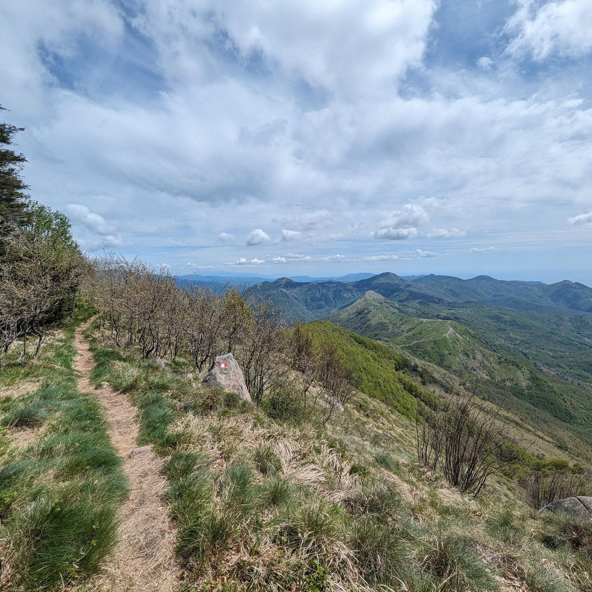
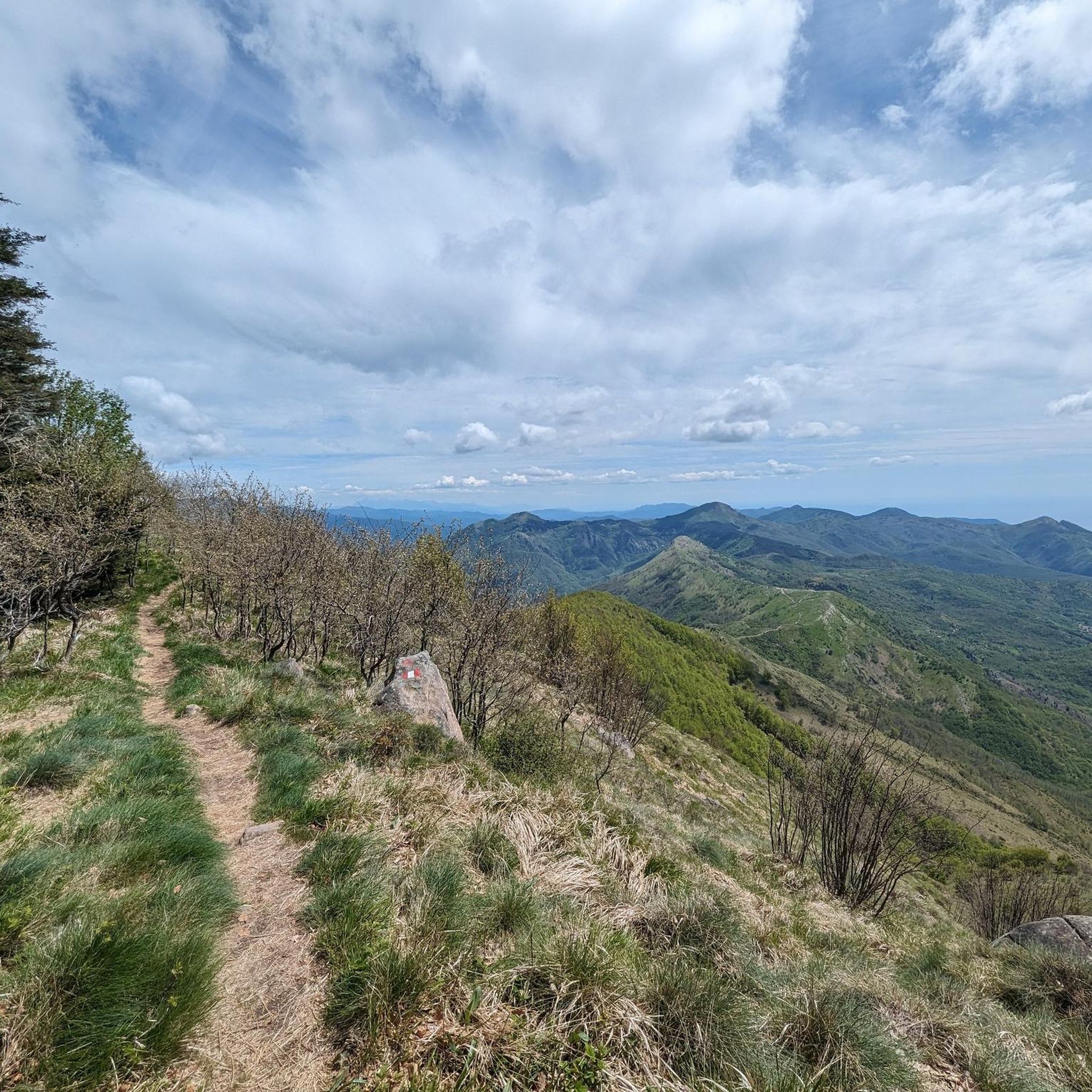
リグーリア・アペニン山脈にある美しい峠で、標高1468メートルに位置しています。散策や長距離ハイキングの開始点として、様々な選択肢を提供する戦略的な場所です。
0
0


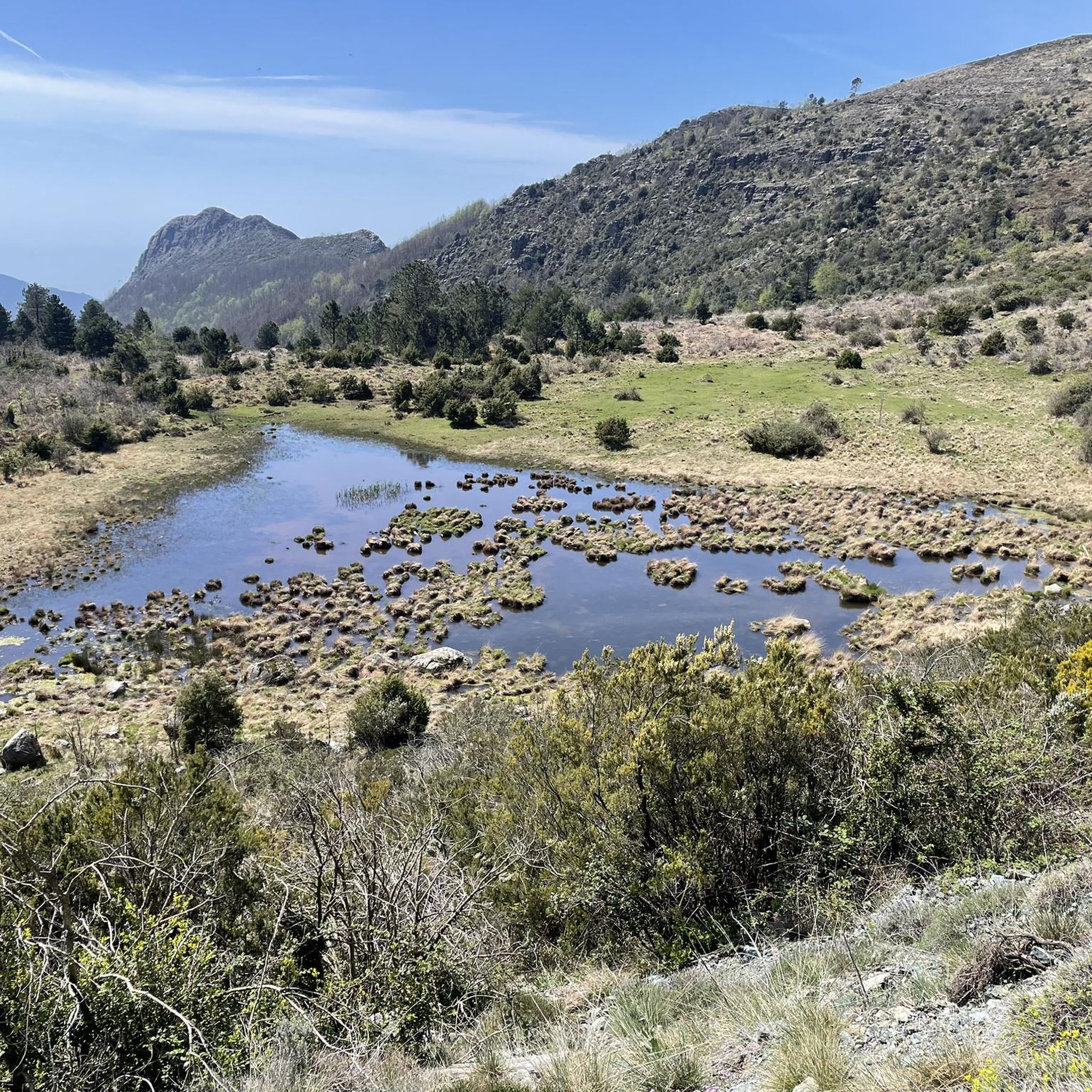
Situated at 956 meters between the Vara and Aveto Valleys, the Bocco Pass is one of the historic passes of the Ligurian Apennines, used since ancient times as a connection between the Tyrrhenian coast and the Po Valley hinterland. Already in Roman times, it was part of a secondary transit network, but it was especially in the Middle Ages and modern times that the pass assumed a central role in local traffic: a route for merchants, shepherds, and pilgrims, it connected Chiavari and the Riviera with Varese Ligure and the Emilian plains. Traces of the ancient paving are still visible today in the surrounding woods. During the Second World War, the area served as a refuge for partisan groups, thanks to its secluded location and dense forest cover. Today, the pass is a destination for cyclists and hikers, immersed in an unspoiled mountain landscape of beech and fir forests and highland meadows, at the gateway to the Aveto Regional Natural Park.
0
0

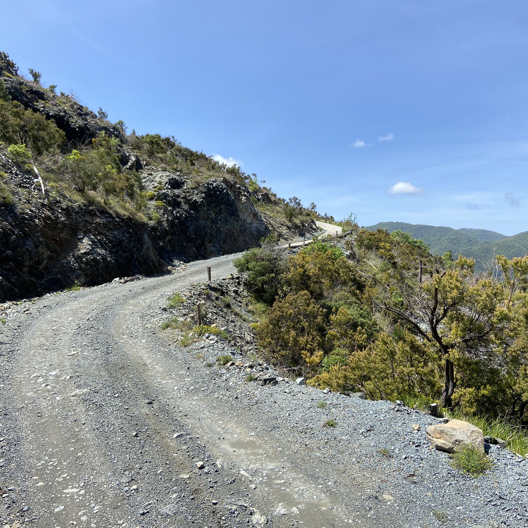
Easy ascent to the top of Monte Penna. From Passo dell'Incisa, the A5 route winds through the beech forest, making it feasible even in the hot season. The slope is not slight (20-25%) but considering the limited distance it is feasible. We did this route with our 6-year-old daughter (already accustomed to mountain walks) without any particular effort. For children this is the path to take, the one that starts from Casermette del Monte Penna is not recommended due to the via ferrata which makes it decidedly less suitable. NOTE: Passo dell'Incisa can be reached by car by carefully following a dirt road (about 1.4 km from the junction on Strada Provinciale 75)
0
0

The Mola Pass is an alternative to the parallel Bracco Pass with the advantage that the road is much less busy.
1
0

Crossing point of the Alta Via dei Monti Liguri and starting point for excursions to the Penna and Aiona mountains. The history of this place seems to be linked to the Latin term "incido," which means "cut." It is said that the Romans, tired of the resistance of the Ligurian tribes, decided to cut down the Apennine forests to weaken them. The Ligurians were masters of guerrilla warfare, while the Romans preferred the open field, and the removal of trees would have facilitated their strategy.
1
0

komootモバイルアプリでインスピレーションを得よう


さらに探索
これらのガイドでさらに壮大な山道を見てみましょうねでの:
