オストラ・ヴェーテレのおすすめMTBライド
4.4
(126)
811
ライダー
194
ライド
オストラ・ヴェーテレ周辺には魅力的なマウンテンバイクルートがいくつもありますが、冒険を始めるにはその場所とルートを把握する必要があります。ここでは、komootが提供するオストラ・ヴェーテレ周辺でのマウンテンバイクルートのコレクション全体を評価して選び抜いた、人気ルートをご紹介します。各ライドの詳細をぜひご覧ください。
最終更新日: 10月 24, 2026
5.0
(4)
18
ライダー
50.5km
04:11
1,270m
1,270m
難しいマウンテンバイクライド. 標準以上のフィットネスレベルが必要です。 高度なライディングスキルが必要です。
4.3
(4)
15
ライダー
46.1km
03:20
880m
880m
難しいマウンテンバイクライド. ある程度のフィットネスレベルが必要です。 高度なライディングスキルが必要です。ツアーの一部で自転車を押して歩く必要があるかもしれません。

5.0
(1)
7
ライダー
45.0km
03:26
1,060m
1,060m
難しいマウンテンバイクライド. 標準以上のフィットネスレベルが必要です。
4.9
(7)
10
ライダー
48.3km
03:56
1,040m
1,040m
難しいマウンテンバイクライド. 標準以上のフィットネスレベルが必要です。 高度なライディングスキルが必要です。
8
ライダー
51.3km
04:01
1,070m
1,070m
難しいマウンテンバイクライド. 標準以上のフィットネスレベルが必要です。
さらに多くのルートや他のユーザーのおすすめ情報を確認できます。
すでにアカウントをお持ちですか?
おすすめのツアーは他のkomootユーザーが実際に経験した何千ものアクティビティに基づいています。
無料アカウントで今日から始めよう
次の冒険が待っています。
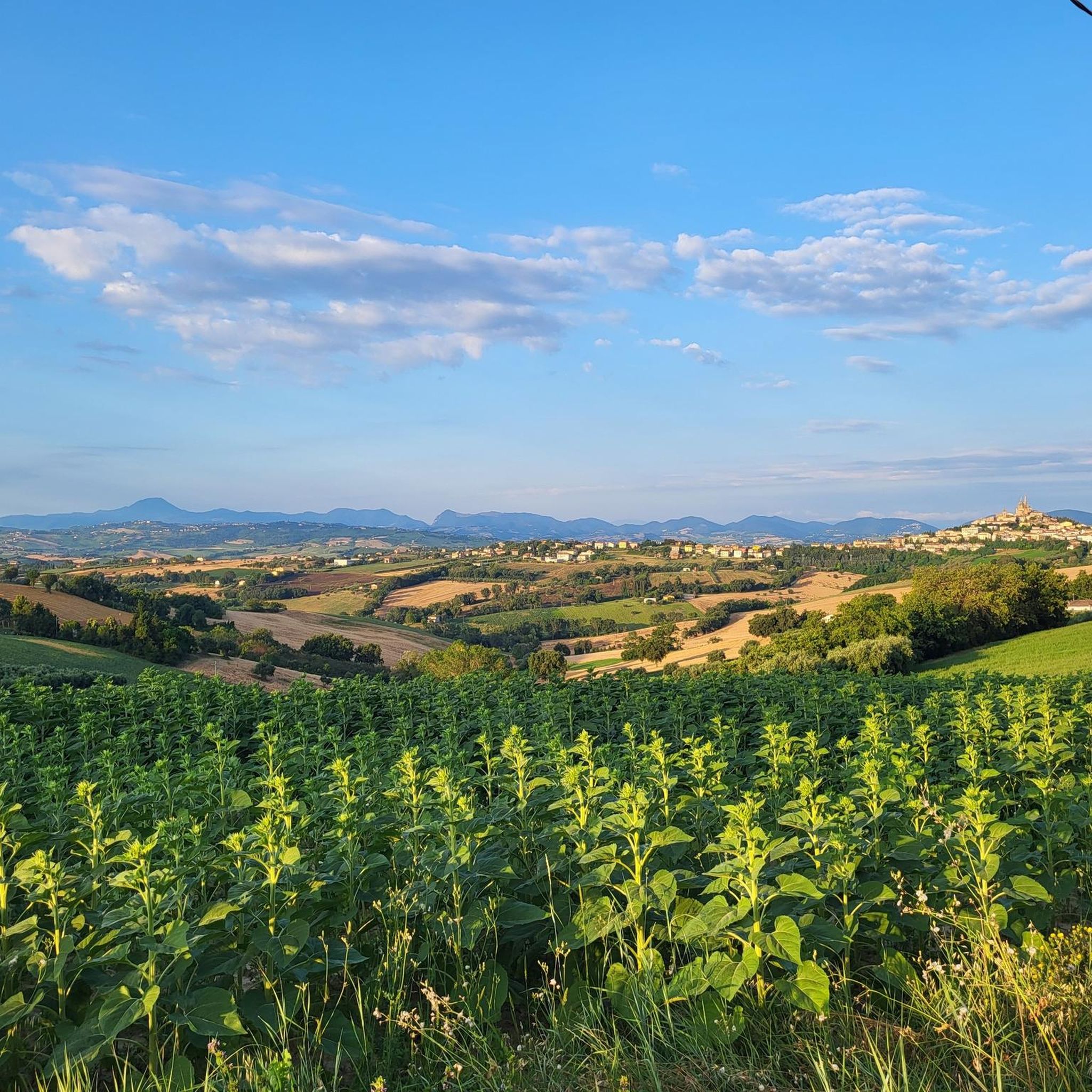
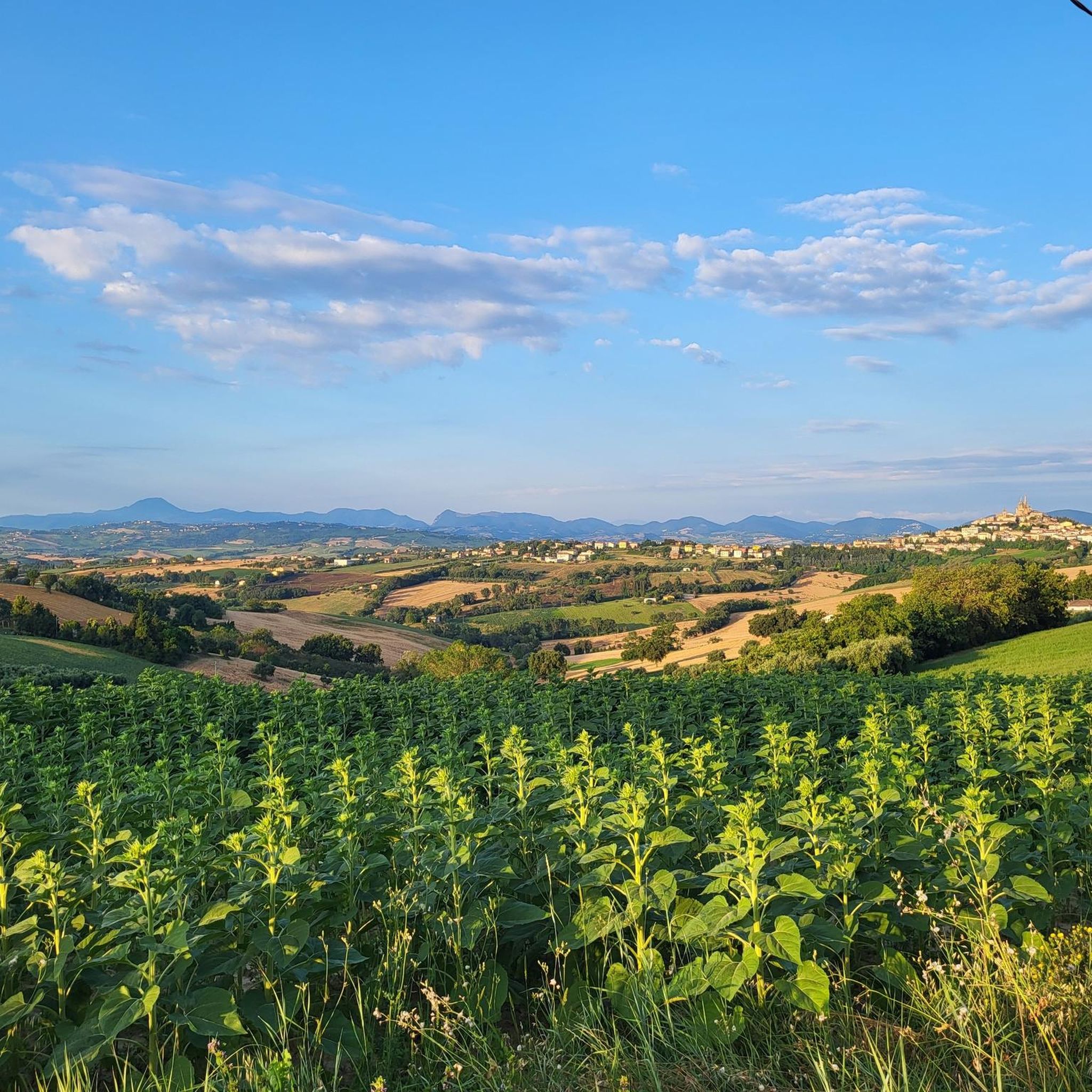
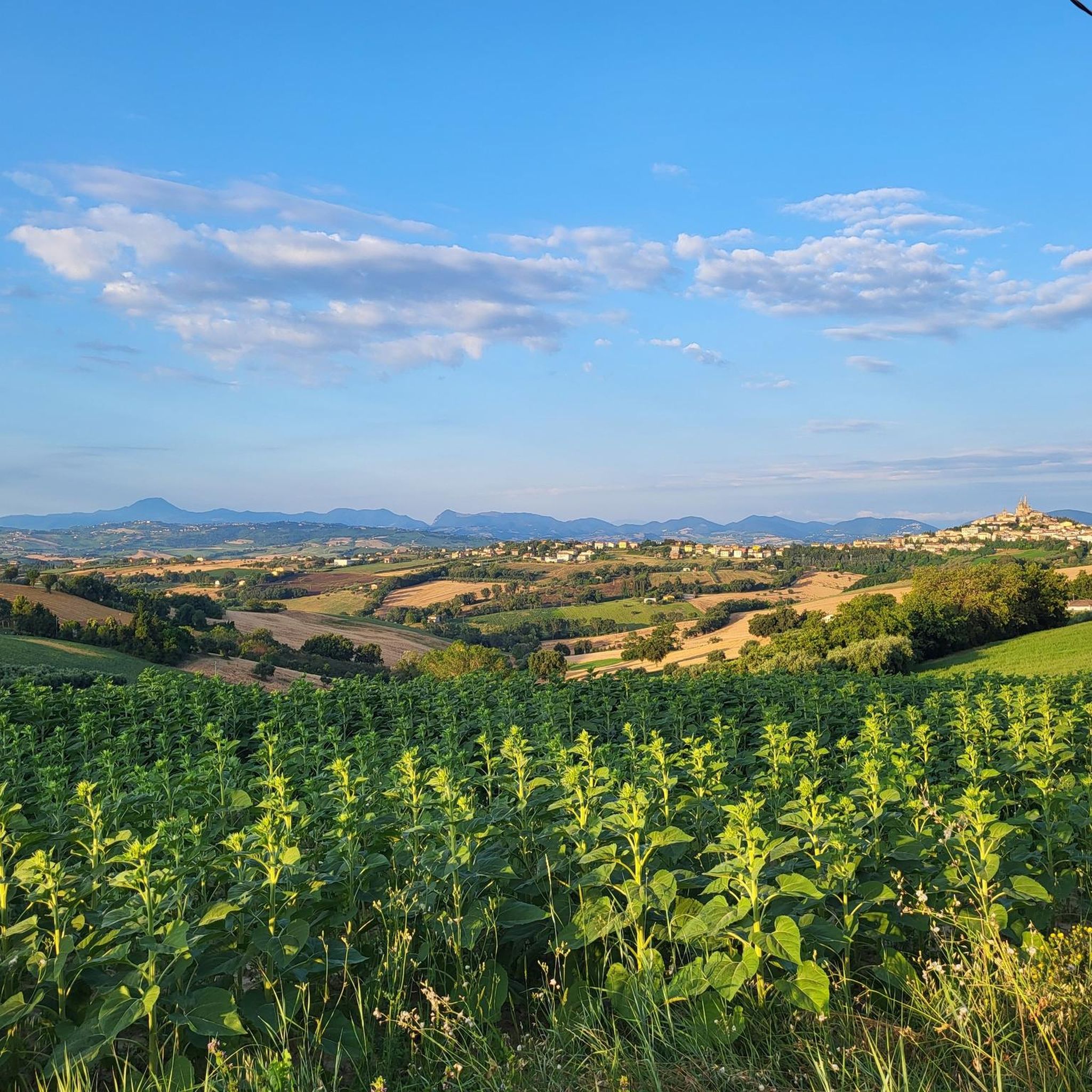
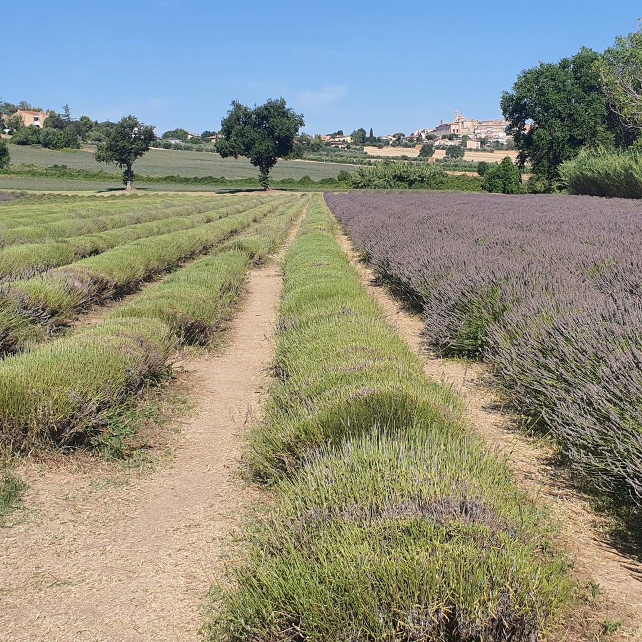

コミュニティからのヒント


Top panoramic point, in every season!
1
0

The official trail begins behind the parking lot at the former "Monte Murano" restaurant. The start is marked by a plaque on a stone. The trail then continues through a small forest with numerous curves to the next hiking trail. ⚠️ Only for experienced downhill riders! Many small jumps, unfortunately also sections washed out by rain and slippery scree. Recommendation: knee and elbow pads. For the last section, depending on the season, wear long clothing due to the brambles. But: a nice adrenaline rush.
0
0

Fantastic location, easy to get to within a minute of the road.
1
0

Monte della Croce is a walking area in Arcevia. Easily accessible by car with ample parking. The area is equipped with a BBQ/picnic area. From mid-April the bar lo scoiattolo is open for a break with a drink and piadina. 17 routes to explore the natural beauty around Arcevia "the pearl of the Marche". In this tour I did the path of the squirrel n⁰12 that takes you around and to the top of Monte Guardia and path nº2 that takes you to the top of Monte della Croce... Both circular, short, very easy and very panoramic. It is possible to combine multiple paths in a single day. Absolutely suitable for families with children.
1
0
Monte della Croce is a walking area in Arcevia. Easily accessible by car with ample parking. The area is equipped with a BBQ/picnic area. From mid-April the bar lo scoiattolo is open for a break with a drink and piadina. 17 routes to explore the natural beauty around Arcevia "the pearl of the Marche". In this tour I did the path of the squirrel n⁰12 that takes you around and to the top of Monte Guardia and path nº2 that takes you to the top of Monte della Croce... Both circular, short, very easy and very panoramic. It is possible to combine multiple paths in a single day. Absolutely suitable for families with children.
2
0
Monte della Guardia certainly didn't steal its name! The summit of this mountain offers a wonderful view of the Marche Apennines... In the distance you can admire the most important peaks, from Monte Catria with Monte Acuto at its side, the neighbor with the pointed hat Monte Strega. Monte Cucco beautiful round. The Sibillini majestic in any season and Monte San Vicino that looks like a volcano. But above all from this point you could control the entire territory around Arcevia. Very accessible via the squirrel path n⁰12 or path nº4. Suitable for everyone, even with children.
1
0
オストラ・ヴェーテレでのの人気観光スポット

komootモバイルアプリでインスピレーションを得よう


さらに探索
他の地域の最高のMTBトレイルを見てみましょう。
