スプリングマウンテンズのおすすめライド
4.8
(35)
1,930
ライダー
13
ライド
このガイドでご紹介するのは、komootがスプリングマウンテンズでのロードバイクルートのコレクション全体を評価して選び抜いた、このエリアの人気バイクライドです。あなたに合ったものを見つけるには、以下のルートをクリックして標高データや舗装状態の分析などの細かな情報を把握し、さらにkomootコミュニティのメンバーが投稿した役立つ情報や写真も閲覧しましょう。
最終更新日: 10月 24, 2026
5.0
(2)
396
ライダー
46.0km
02:18
670m
670m
Embark on the Calico Basin and Red Rock Canyon Scenic Loop from Charleston Blvd for a moderate racebike ride through stunning desert landscapes. This route covers 28.6 miles (46.0 km)…
5.0
(1)
168
ライダー
58.2km
02:48
770m
770m
Embark on a moderate road cycling adventure through the stunning desert landscape of Red Rock Canyon National Conservation Area. This route covers 36.1 miles (58.2 km) with a significant elevation…

5.0
(3)
153
ライダー
25.4km
01:28
450m
450m
Embark on a moderate road cycling adventure along the Red Rock Canyon Scenic Loop, a 15.8-mile (25.4 km) route that promises dramatic desert scenery. You will climb 1484 feet (452…
5.0
(2)
43
ライダー
134km
05:59
1,120m
1,120m
If you're looking for a challenging road cycling experience, the Tour de Summerlin 80-Mile Course delivers a demanding ride through Nevada's desert landscape. This difficult route stretches for 83.4 miles…
21
ライダー
31.4km
01:32
270m
270m
Embark on an easy road cycling journey with the Tour de Summerlin 20-Mile Course, a route that spans 19.5 miles (31.4 km) and includes a gentle climb of 893 feet…
8
ライダー
44.8km
02:23
500m
500m
Cycle the moderate 27.8-mile Western and Northern Beltway Trail Loop in Las Vegas, featuring varied terrain and mountain views.
56
ライダー
中程度のロードライド. ある程度のフィットネスレベルが必要です。 全般的に舗装状態が良好で走行しやすい道です。
35
ライダー
76.1km
03:39
1,010m
1,010m
難しいロードライド. 標準以上のフィットネスレベルが必要です。 全般的に舗装状態が良好で走行しやすい道です。
3.0
(1)
10
ライダー
20.2km
00:59
280m
280m
初級者向けロードバイクライド. あらゆるフィットネスレベルに適しています。 全般的に舗装状態が良好で走行しやすい道です。
8
ライダー
52.6km
02:32
550m
560m
中程度のロードライド. ある程度のフィットネスレベルが必要です。 全般的に舗装状態が良好で走行しやすい道です。
さらに多くのルートや他のユーザーのおすすめ情報を確認できます。
すでにアカウントをお持ちですか?
おすすめのツアーは他のkomootユーザーが実際に経験した何千ものアクティビティに基づいています。



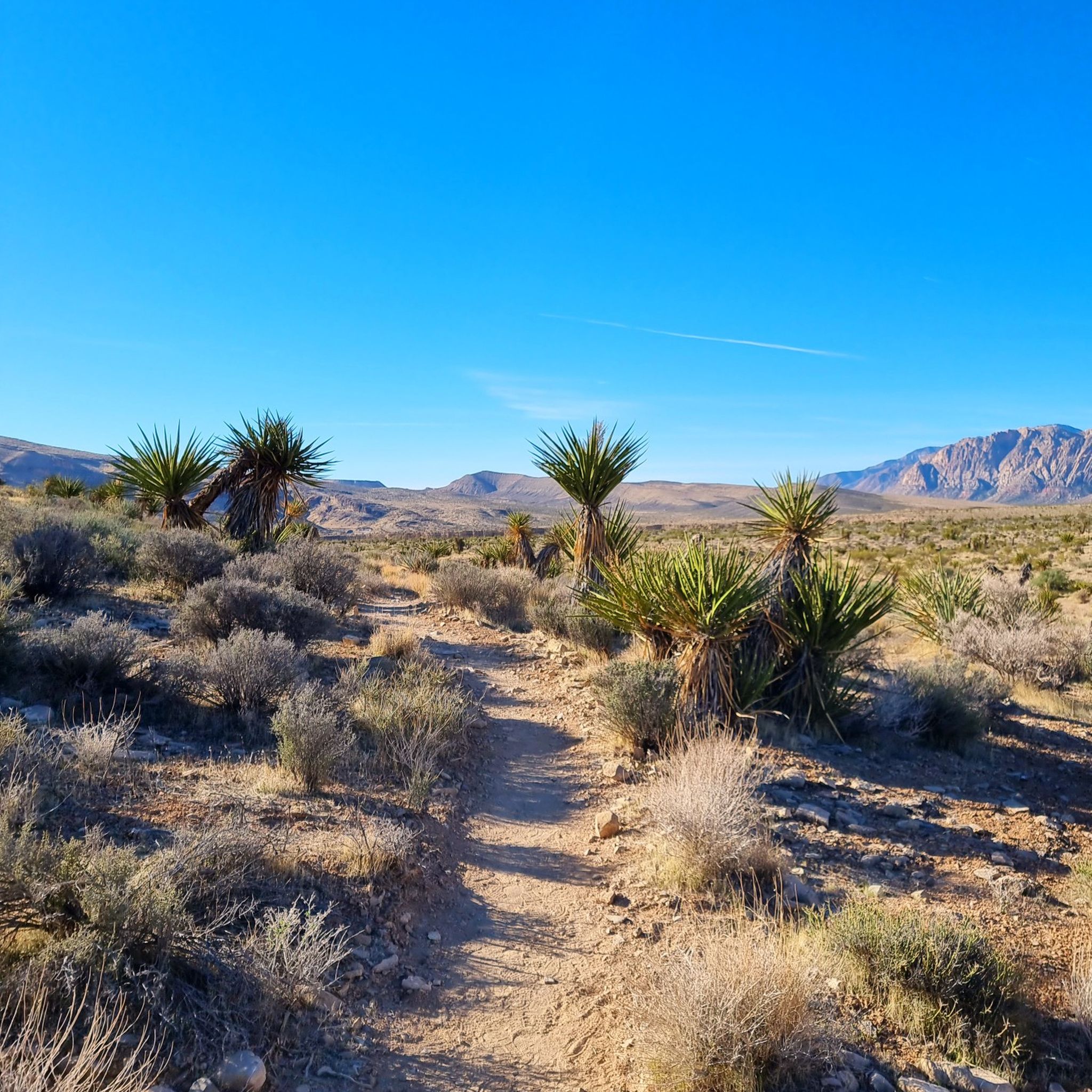
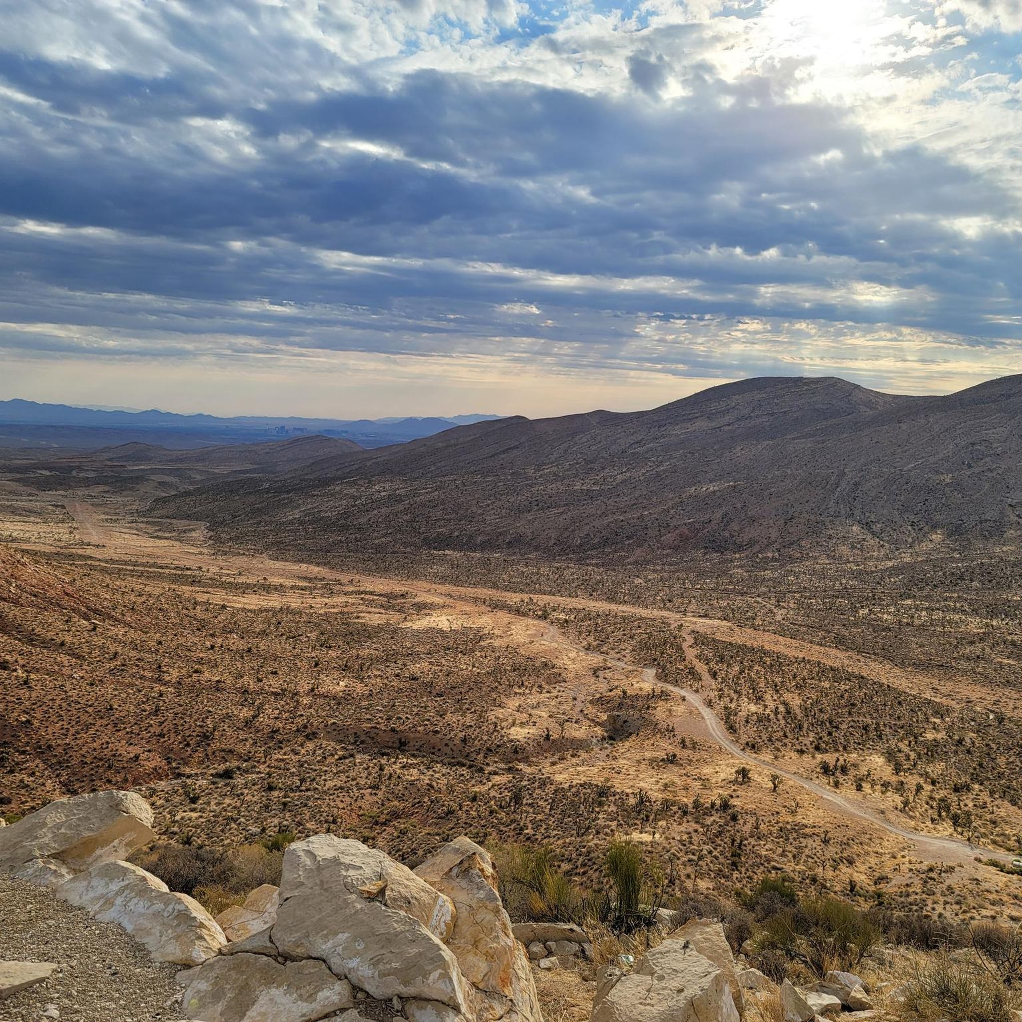
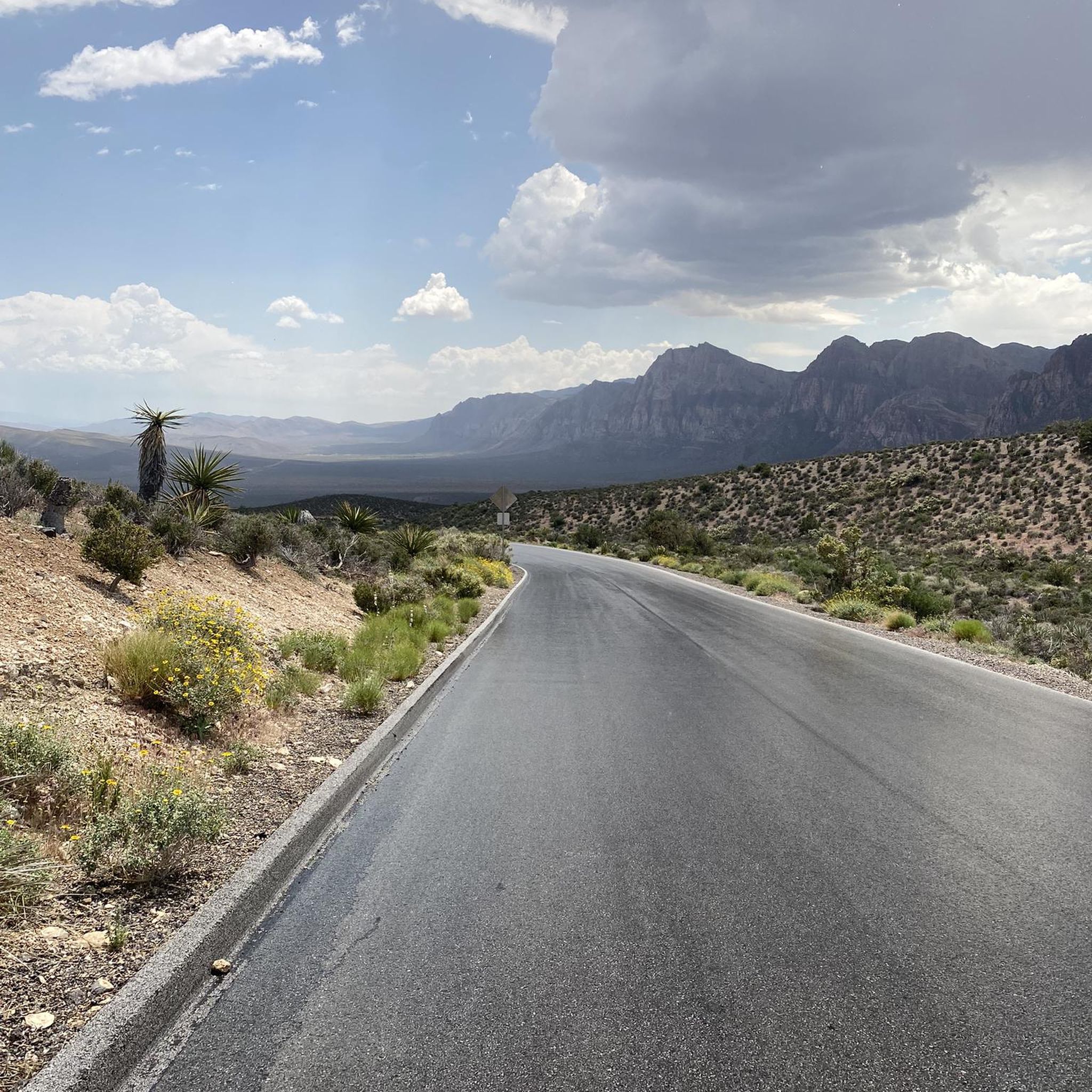
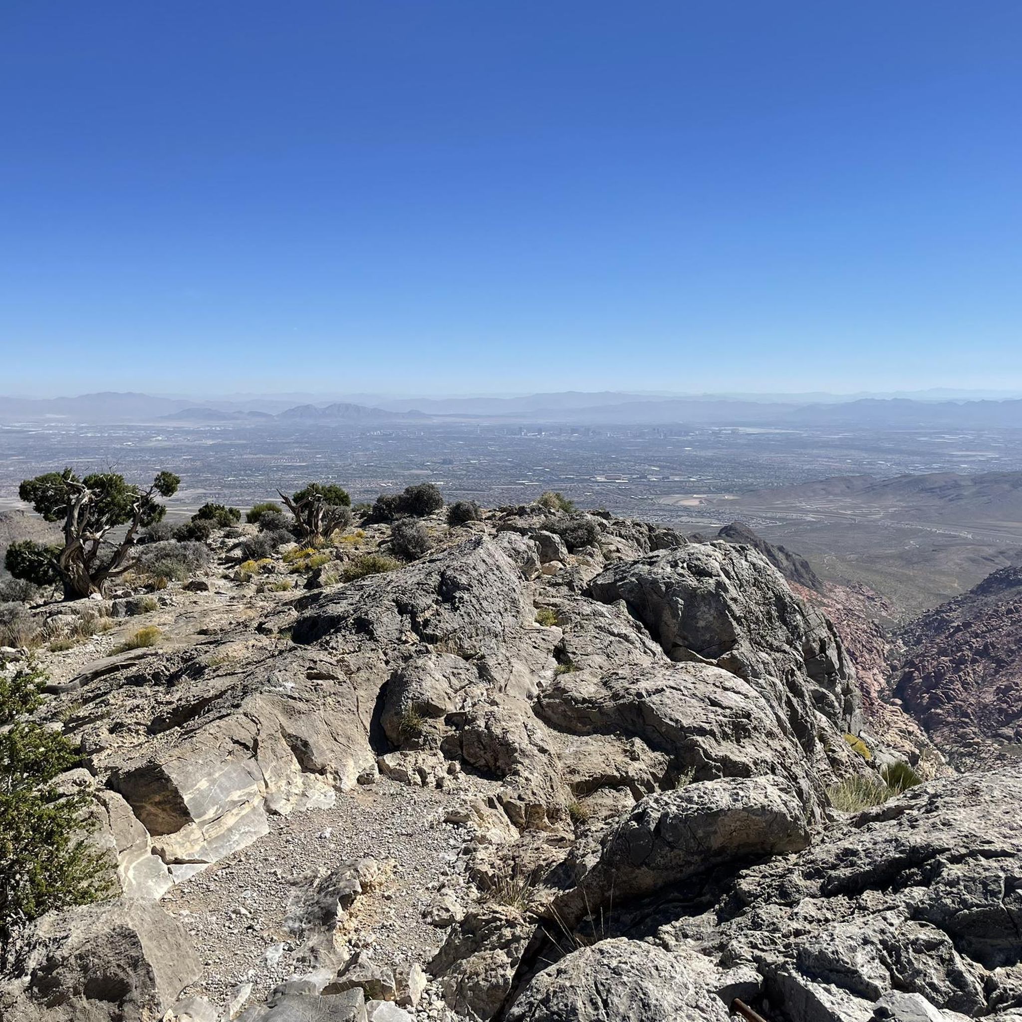

コミュニティからのヒント

Several good groups to ride with depending on your pace!
0
0

A paved, three-mile multi-use trail that runs alongside CC 215. You can tie it together with the Western Beltway Trail to log some miles without any extreme climbs.
0
0

The Northern Beltway Trail is a 3-mile multi-use trail that runs alongside CC 215. It is fully paved and fairly flat, so it is not too challenging a trail to run.
1
0

Downtown Summerlin is just south of the Red Rock Resort and Casino is a great outdoor shopping and dining complex with numerous restaurants and cafés, as well as one of the best farmers markets in Vegas every Saturday. This is also where the popular Tour de Summerlin bike race and half-marathon begins and ends.
1
0
Downtown Summerlin is just south of the Red Rock Resort and Casino is a great outdoor shopping and dining complex with numerous restaurants and cafes, as well as one of the best farmers markets in Vegas every Saturday. This is also where the popular Tour de Summerlin bike race and half marathon begins and ends.
0
0
A nice, steady climb on a quiet residential road - it's a good spot to get off the busy main road and ride a moderate hill with a view!
0
0
Mesa Park is a large, 19-acre park in Summerlin South. There are bathrooms, a playground, two tennis courts, three softball/baseball fields, a full-sized basketball court, covered picnic/BBQ areas, and parking. This park is where many park to access the extensive Bears Best Trail System, but is also a good place to park and begin a road cycling adventure on the west side of town.
1
0
Calico Basin Road is a residential road that takes you to the far northeastern part of Red Rock Canyon National Conservation Area that includes Calico Basin/ Red Springs and Kraft Mountain. The road ends at Kraft Mountain, a popular hiking and rock climbing area. There are no bathrooms at the Kraft trailhead, so if you need to use one you need to backtrack to the Red Springs Picnic Area, which is a mile in from the highway on Calico Basin Road.
0
0
スプリングマウンテンズでのの人気観光スポット

komootモバイルアプリでインスピレーションを得よう


さらに探索
他の地域の最高のロードサイクリングルートを見てみましょう。
