キウージデッラヴェルナのおすすめランニングルート
4.6
(84)
2,881
ランナー
194
ランニング
キウージデッラヴェルナでランニングを楽しめば、このエリアをより深く知ることができます。ランニングに適した美しいルートが見つかるように、komootがキウージデッラヴェルナでのルートのコレクション全体を評価して選び抜いた、人気ランニングトレイルをご紹介します。ルートをクリックして詳細を表示し、他のユーザーがアップロードした役立つ情報や写真を閲覧しましょう。
最終更新日: 8月 31, 2026
1
ランナー
6.04km
00:46
210m
210m
中程度のジョギング. ある程度のフィットネスレベルが必要です。 全般的に舗装された状態です。あらゆるスキルレベルに適しています。
3.3
(4)
86
ランナー
47.1km
07:52
2,490m
2,490m
難しいジョギング. 標準以上のフィットネスレベルが必要です。 安定して歩行できる技術、丈夫な靴、高標高地での登山経験が必要です。

無料新規登録
4.5
(2)
128
ランナー
13.0km
02:14
670m
670m
難しいジョギング. 標準以上のフィットネスレベルが必要です。 安定して歩行できる技術、丈夫な靴、高標高地での登山経験が必要です。
53
ランナー
19.7km
02:06
130m
130m
難しいジョギング. 標準以上のフィットネスレベルが必要です。 全般的に舗装された状態です。あらゆるスキルレベルに適しています。
45
ランナー
19.1km
02:30
680m
680m
難しいジョギング. 標準以上のフィットネスレベルが必要です。 全般的に舗装された状態です。あらゆるスキルレベルに適しています。
さらに多くのルートや他のユーザーのおすすめ情報を確認できます。
無料新規登録
すでにアカウントをお持ちですか?
おすすめのツアーは他のkomootユーザーが実際に経験した何千ものアクティビティに基づいています。
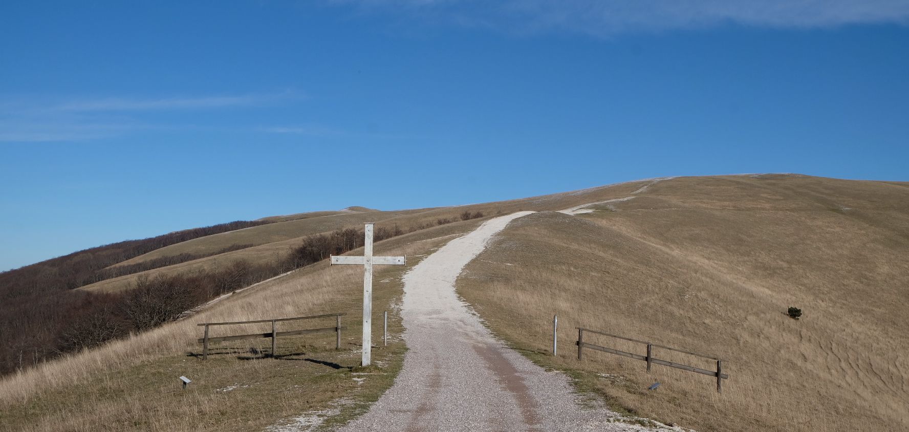
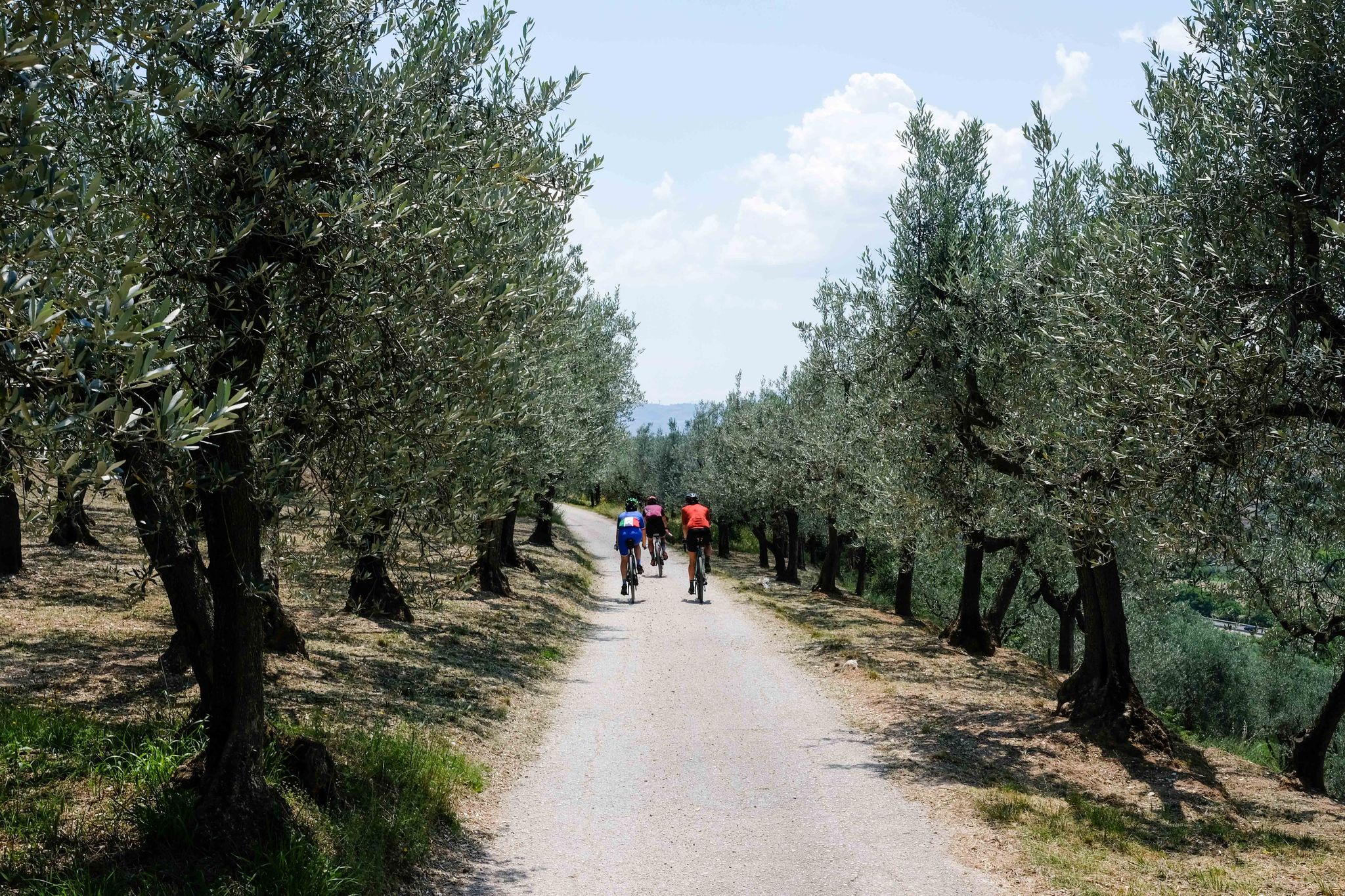
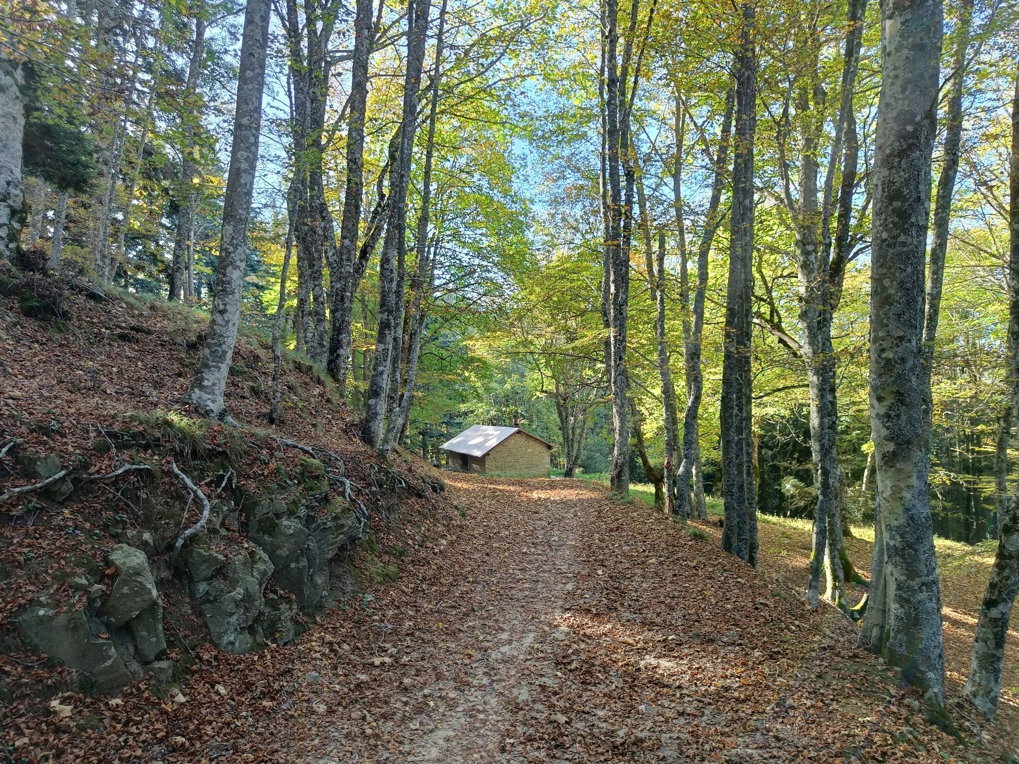
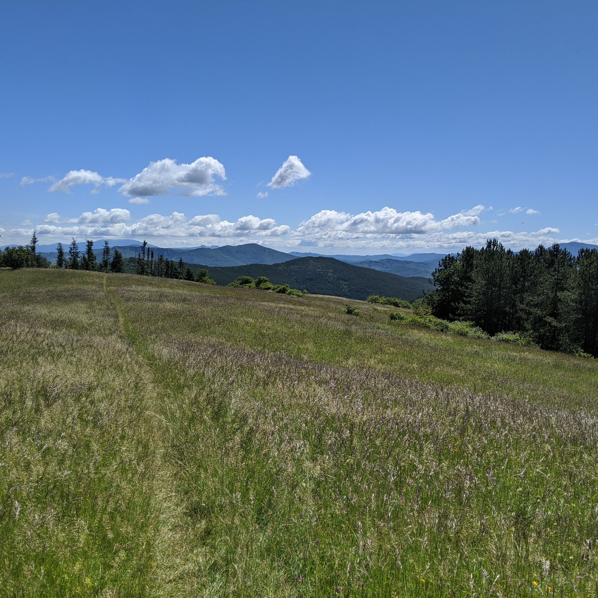



コミュニティからのヒント

ここでは、サッソ・フラティーノのように何千年にもわたって変わらない自然の輝きが、人間の要求と交差します。13年間の研究を経て、1982年にビデンテ川から集められた水でダムが建設され、干ばつが最も厳しい時期にロマーニャ全土の渇きを癒すことを目的としています。これは人間と環境の統合の素晴らしい例です。
0
0
Foreste Casentinesi国立公園の中心部には、印象的で魅力的なダムがあり、手つかずの森林に囲まれた趣のある湖を生み出し、自然と工学が完璧な調和の中で共存するユニークな生態系を作り出しています。ここでは、ボートやカヌーでのハイキング、マウンテンバイクやEバイクでのルート、またはそれらを一日を通して一つのソリューションに組み合わせることができます。これは有名なForeste Casentinesiトライアスロンですが、体力のある人のみ対象です。
0
0

the climb through the woods begins, quite tough in some parts!!
0
0

Idyllic, almost magical place.
0
0


Splendid itinerary in the heart of the forests of the Casentinesi Forests, Monte Falterona and Campigna National Park: the route winds along a dirt road in excellent condition and faithfully follows the route taken by the train that transported wood from the Lama area to Cancellino, a town located on the state road that connects Badia Prataglia to Bagno di Romagna, through the Passo dei Mandrioli. The train was in operation from 1900 to 1914. Considered the most beautiful forest road in Italy immersed in a beech forest, along the route you will encounter three springs as well as two sulphurous water springs.
0
0
Passo dei Lupatti (altitude 1171) where majestic beech trees stand and where we cross the 00 ridge path coming from Passo dei Mandrioli and heading to Passo della Crocina: the stretch of the railway that went from Passo dei Lupatti to Cancellino was slightly downhill and for this reason the wagons loaded with wood were slowed down in their run by specially trained men called "brakemen". Now from Passo dei Lupatti to Lama the road will always continue downhill: immersed in the forest we walk crossing the slopes of Mount Cucco and Poggio Rovino until we reach Pian della Saporita (altitude 1051) Beautiful dirt road immersed in an immense beech forest with the possibility of many variations, 90% of the routes are suitable for everyone.
0
0
From here the path to Lama starts, a beautiful dirt road suitable for everyone... immersed in the Casentino forest natural park
0
0

komootモバイルアプリでインスピレーションを得よう


さらに探索
他の地域の最高のランニングトレイル & ルートを見てみましょう。
