プラトヴェッキオスティアの峠・トップ15
風景を楽しんだり、上りや下りを満喫したり、峠には楽しみ方がたくさんあります。プラトヴェッキオスティアの素晴らしい峠の一覧を参照して、思い出に残るアドベンチャーに出かけましょう。コミュニティのメンバーがコミュニティのために投稿した峠のハイライトは、他のユーザーが実際におすすめする情報なので、どれも信頼できるものです。気に入った峠にさっそく向かってみましょう。
最終更新日: 10月 13, 2026
カッラ峠
ハイライト • 山道
翻訳者 Google •
役立つ情報 は

プラート・アッラ・ペンナ
ハイライト • 山道
翻訳者 Google •
役立つ情報 は

今すぐサインアップして、こんな場所を発見しよう
最高のシングルトラック、ピーク、その他のエキサイティングなアウトドアスポットのおすすめを受け取ろう。
コンスーマ峠
ハイライト • 山道
The …
翻訳者 Google •
役立つ情報 は

ムラリオーネ峠
ハイライト • 山道
翻訳者 Google •
役立つ情報 は

Passo dei Lupatti
ハイライト • 山道
翻訳者 Google •
役立つ情報 は
無料でサインアップして、さらに多くの山道を発見しましょう プラトヴェッキオスティアでの。
すでにアカウントをお持ちですか?



コミュニティからのヒント

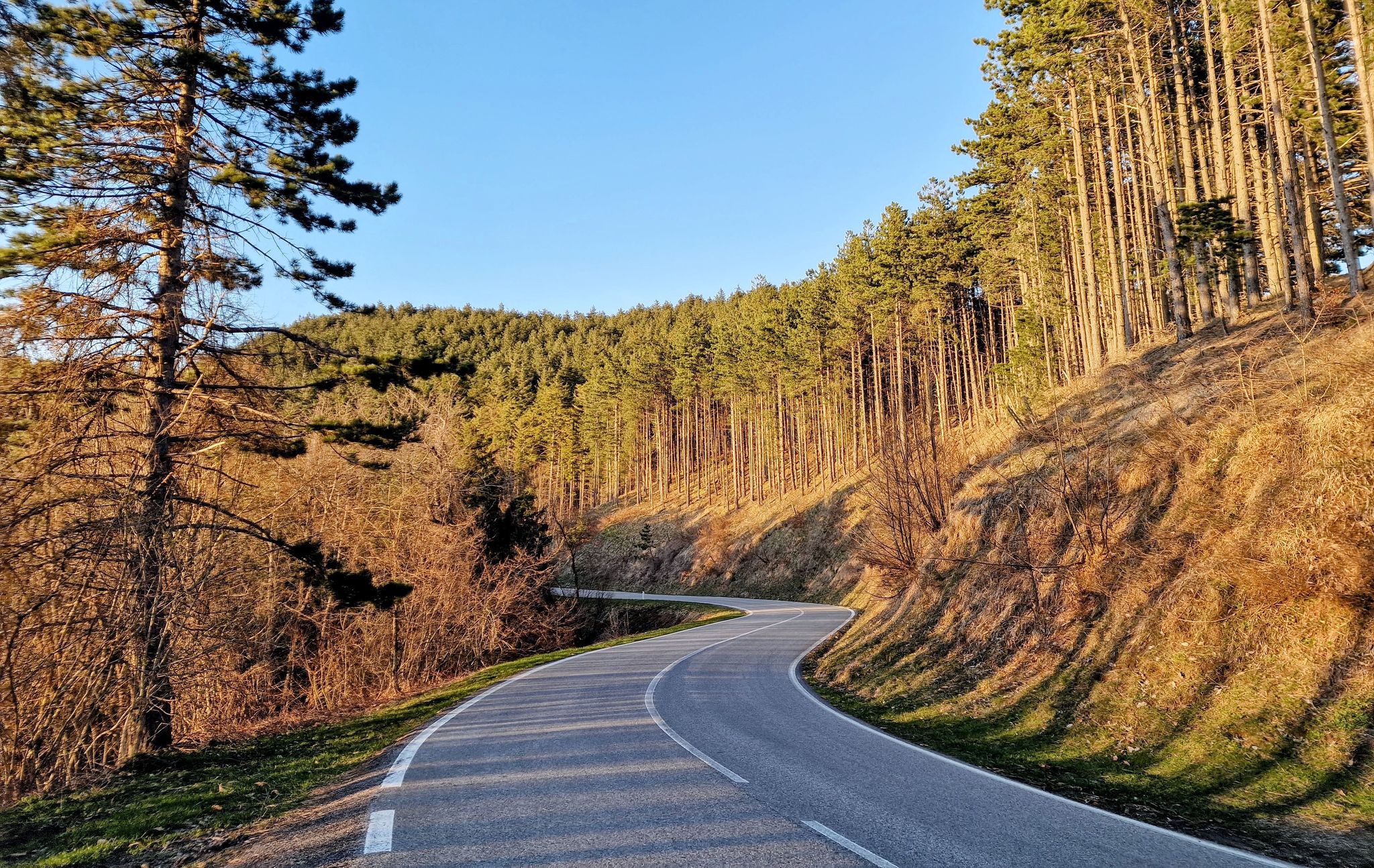
the climb through the woods begins, quite tough in some parts!!
0
0


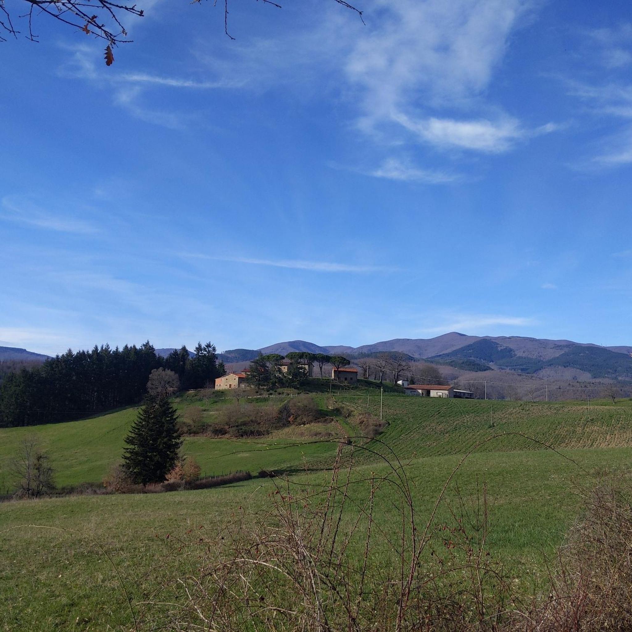
The Prato alla Penna clearing is located at an altitude of 1248 at the crossroads between the Passo Fangacci-Sacro Eremo dirt road and the forest track that branches off from here to the northwest in the direction of Gioghetto-La Calla. Although devoid of buildings, it is a historically and geographically important location as a timber tax and as a junction of paths.
0
0
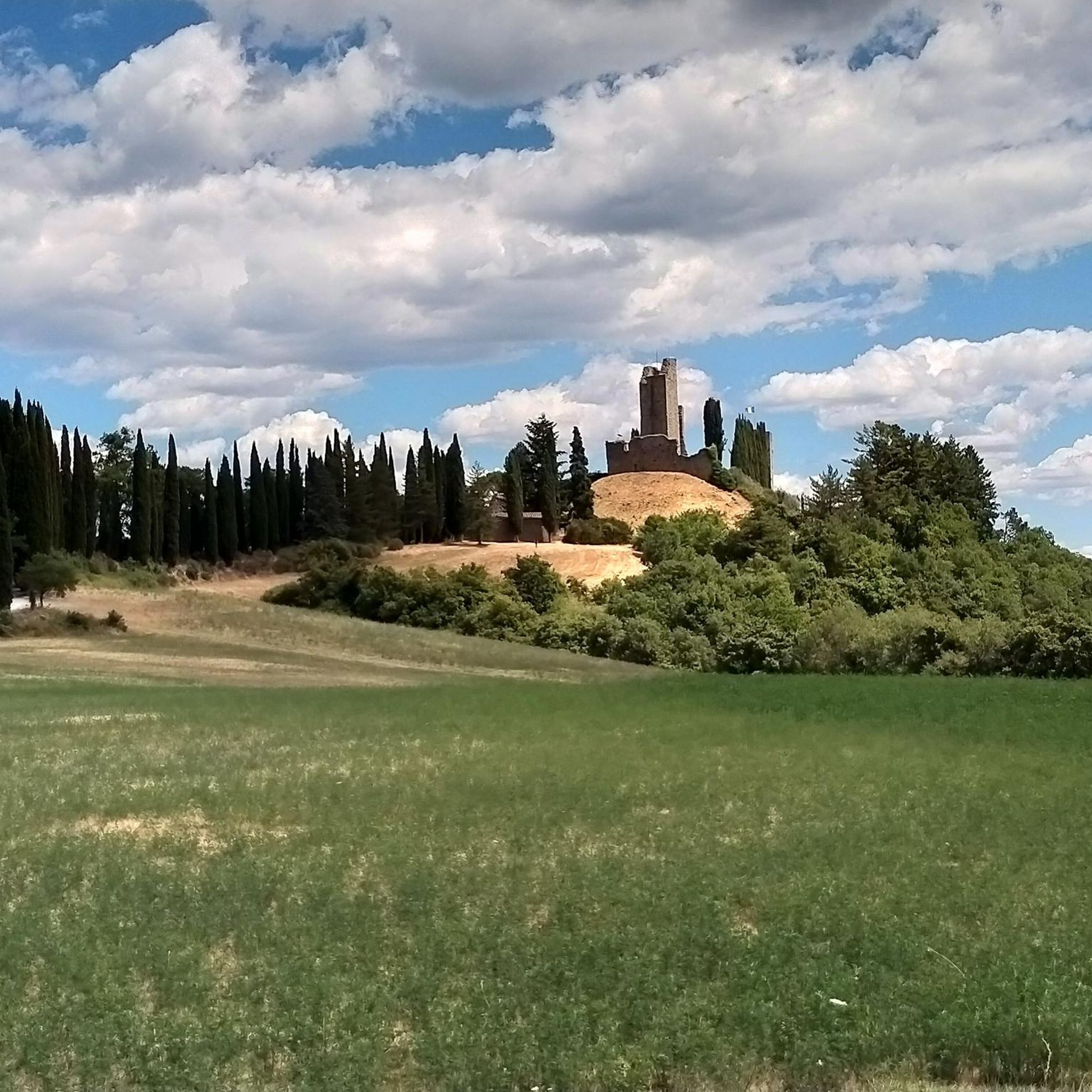
Passo dei Lupatti (altitude 1171) where majestic beech trees stand and where we cross the 00 ridge path coming from Passo dei Mandrioli and heading to Passo della Crocina: the stretch of the railway that went from Passo dei Lupatti to Cancellino was slightly downhill and for this reason the wagons loaded with wood were slowed down in their run by specially trained men called "brakemen". Now from Passo dei Lupatti to Lama the road will always continue downhill: immersed in the forest we walk crossing the slopes of Mount Cucco and Poggio Rovino until we reach Pian della Saporita (altitude 1051) Beautiful dirt road immersed in an immense beech forest with the possibility of many variations, 90% of the routes are suitable for everyone.
0
0


Beautiful panoramic point with ample parking and Bar/Chalet
0
0

Along the provincial road that leads from the Sacred Hermitage of Camaldoli to Badia a Prataglia, at the end of the climb, there is this beautiful meadow area immersed in the beautiful Casentino forest.
3
0

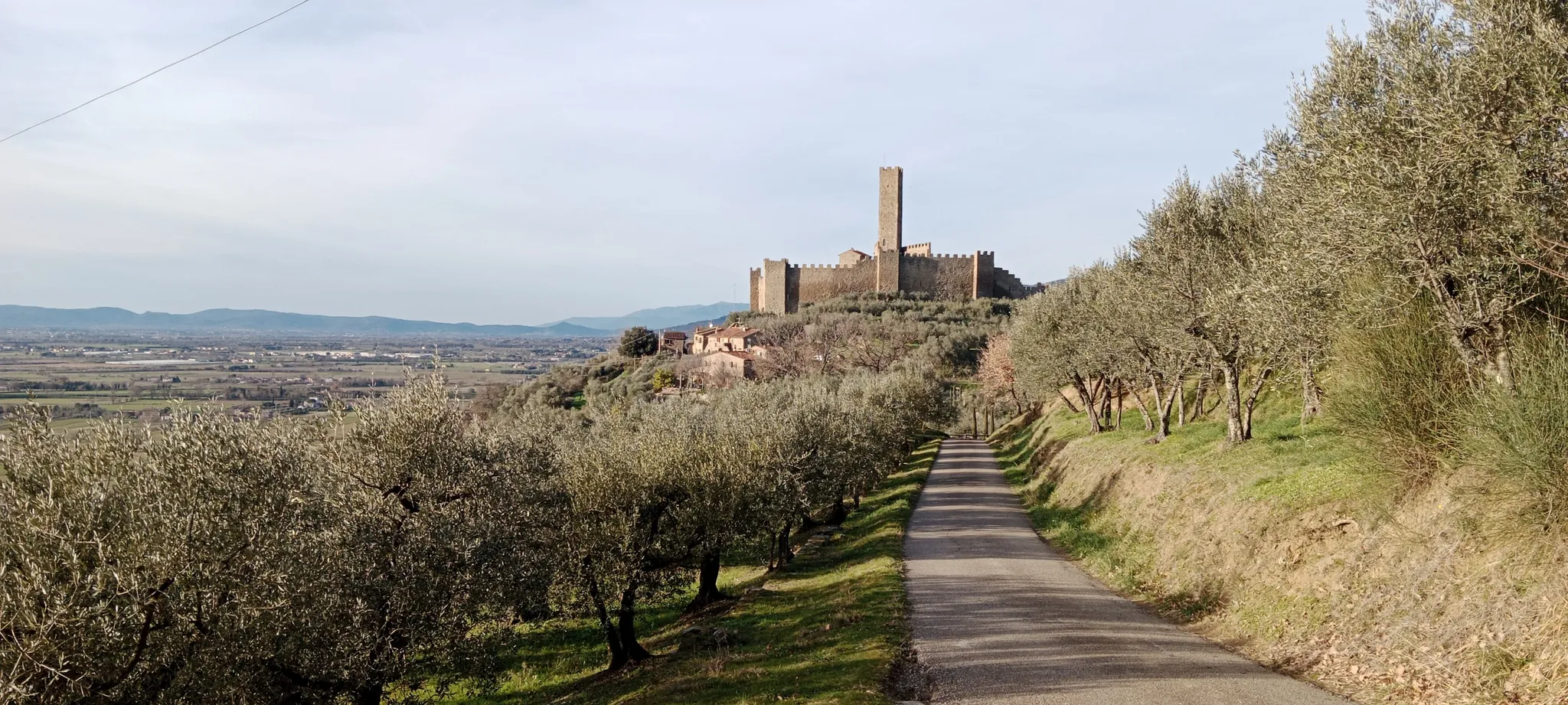
The Calla pass is the highest road pass within the Foreste Casentinesi National Park. It connects the Arno valley with that of the Bidente, and also marks the border between Tuscany and Emilia Romagna. The classic climb is the one that comes from Stia, about 15 kilometers with a difference in altitude of 850 metres. It is never too steep but the length makes itself felt, especially if you pedal with your bicycle loaded with luggage.
1
0
プラトヴェッキオスティアでのの人気観光スポット

komootモバイルアプリでインスピレーションを得よう


さらに探索
これらのガイドでさらに壮大な山道を見てみましょうプラトヴェッキオスティアでの:
