ボッチョレートの峠・トップ7
風景を楽しんだり、上りや下りを満喫したり、峠には楽しみ方がたくさんあります。ボッチョレートの素晴らしい峠の一覧を参照して、思い出に残るアドベンチャーに出かけましょう。コミュニティのメンバーがコミュニティのために投稿した峠のハイライトは、他のユーザーが実際におすすめする情報なので、どれも信頼できるものです。気に入った峠にさっそく向かってみましょう。
最終更新日: 8月 19, 2026
コッレ・デル・トゥルロ(2738m)
ハイライト • 山道
翻訳者 Google •
役立つ情報 は

コッレ・デグア
ハイライト • 山道
翻訳者 Google •
役立つ情報 は
今すぐサインアップして、こんな場所を発見しよう
最高のシングルトラック、ピーク、その他のエキサイティングなアウトドアスポットのおすすめを受け取ろう。
無料新規登録
ボッケッタ・ボスカローラ
ハイライト • 山道
翻訳者 Google •
役立つ情報 は

パッソ・デル・ガット
ハイライト • 山道
翻訳者 Google •
役立つ情報 は
無料アカウントで今日から始めよう
次の冒険が待っています。
ログインまたは登録
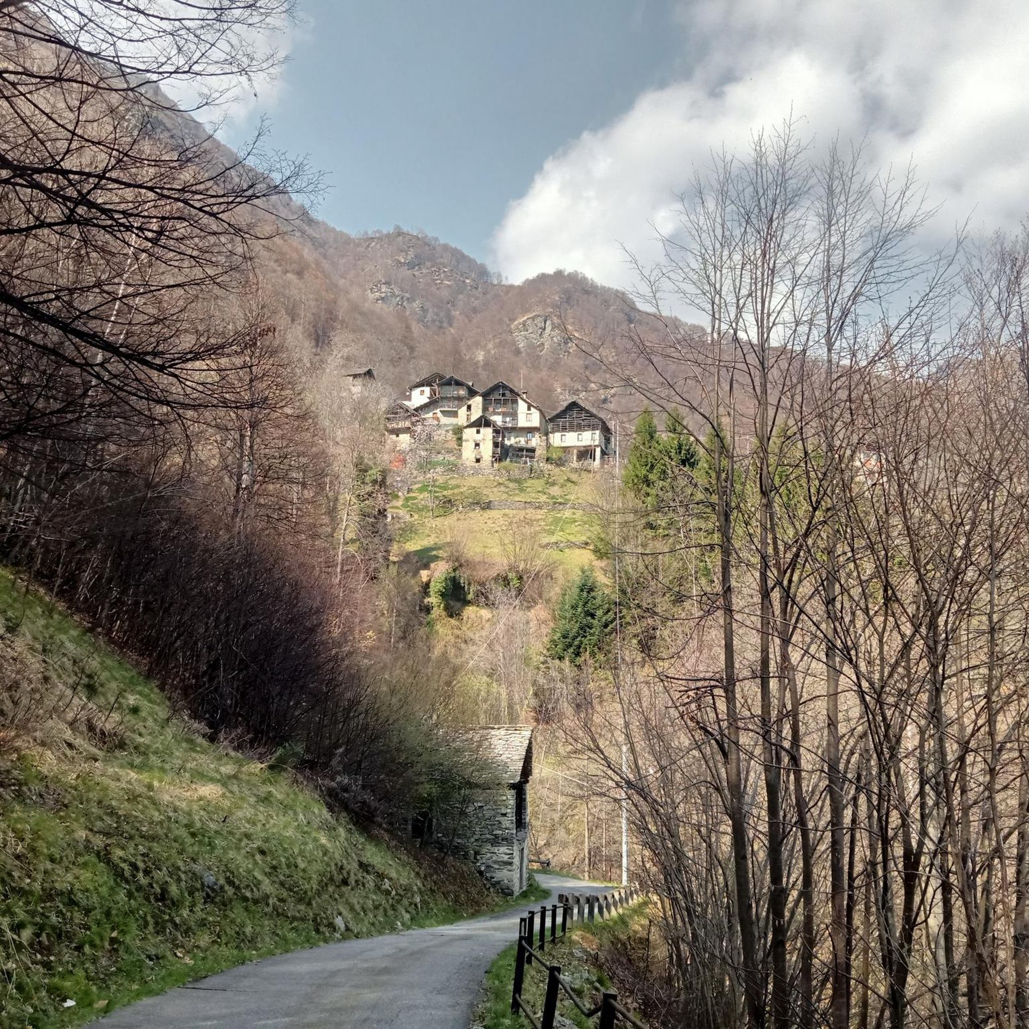
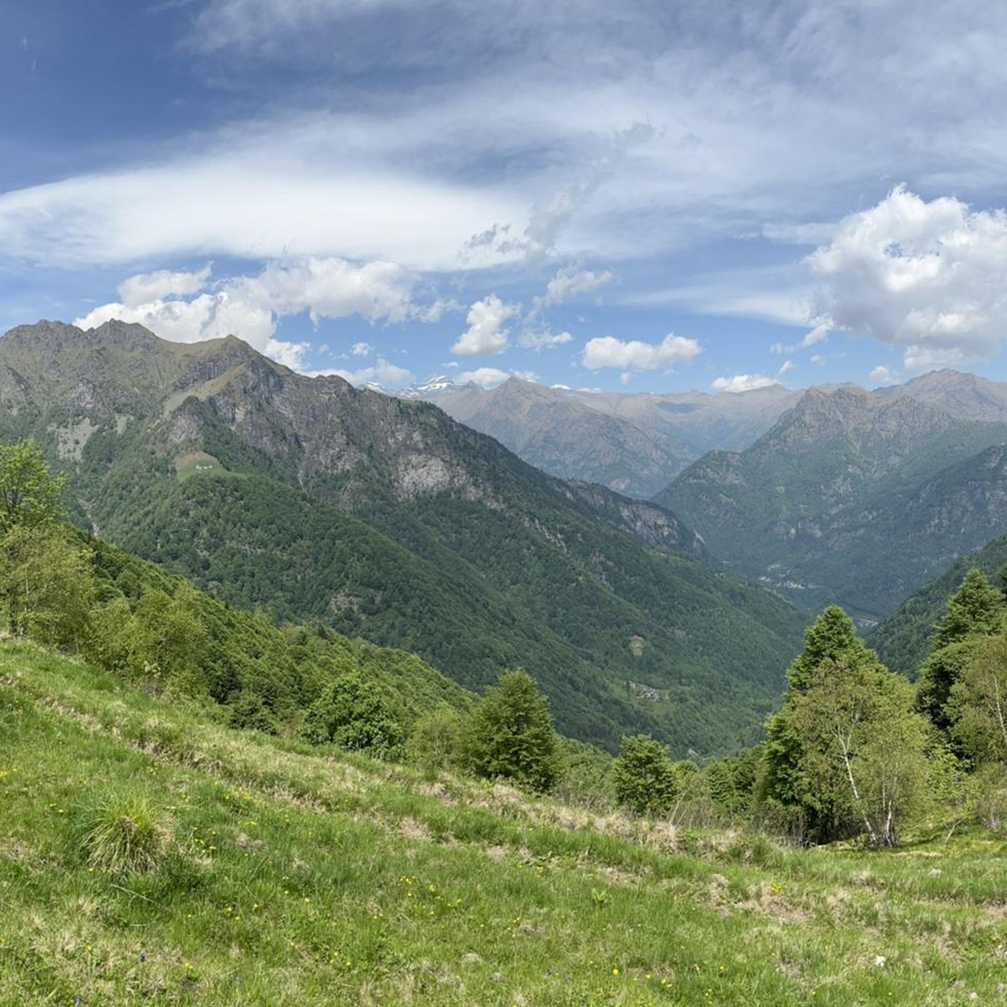
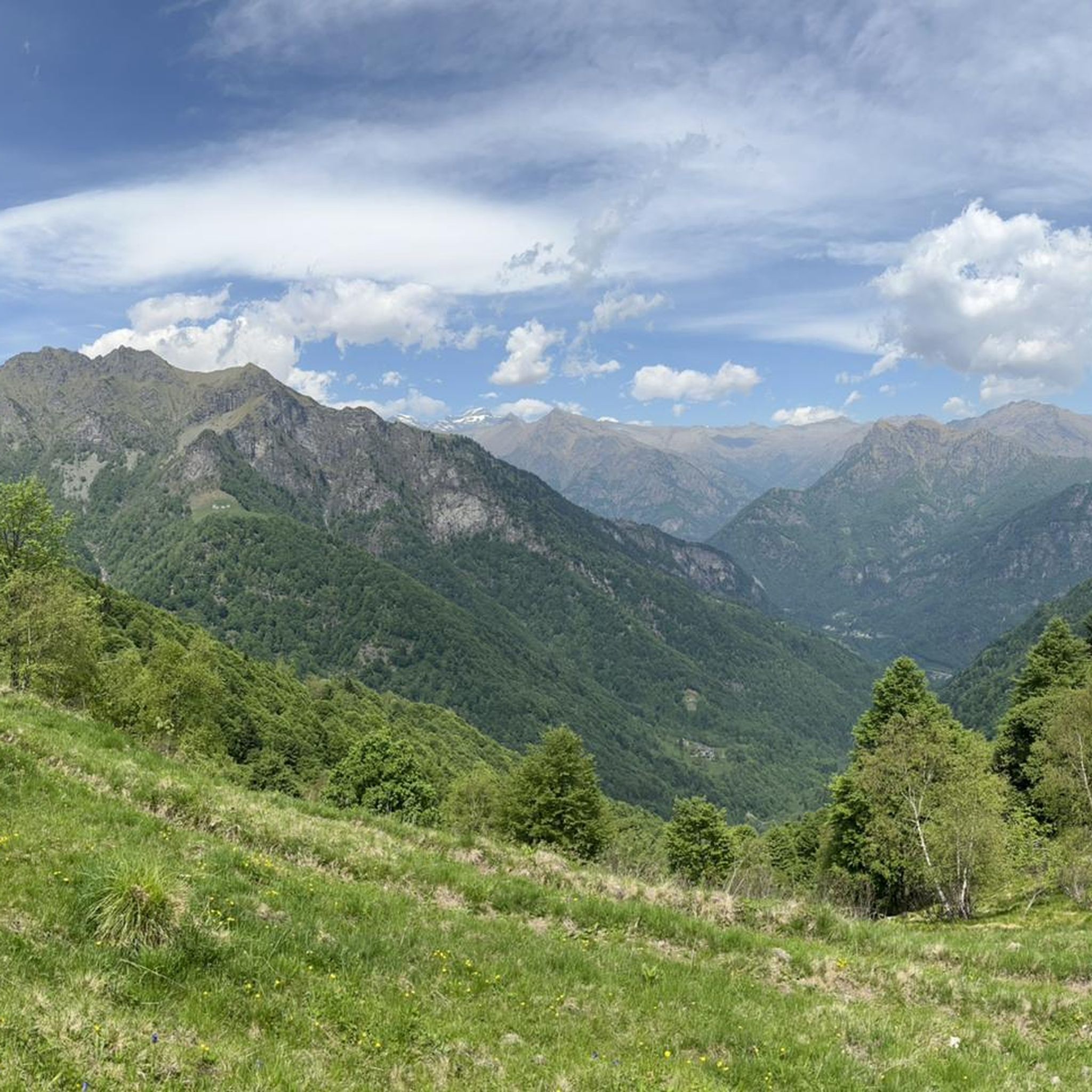
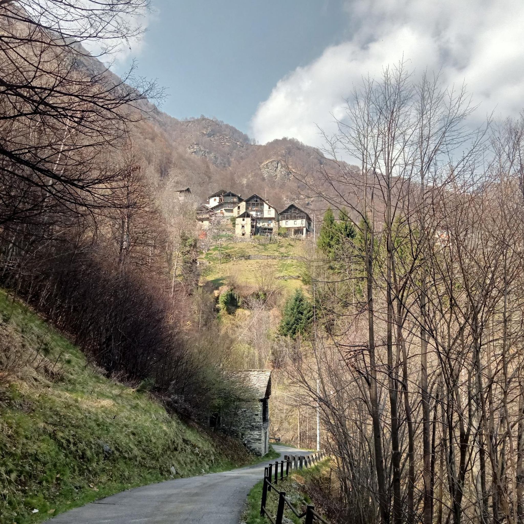
コミュニティからのヒント

pass that separates the Sessera Valley from the Sesia Valley
0
1

Mandatory passage for the ascent to Tagliaferro and to be used as a reference. From here the ascent to the mountain becomes stony and requires surefootedness.
1
0
Pass connecting Valle Barranca, Valsesia and Valle Anzasca. Suggestive step in a very fascinating wild area.
0
0
Connection point between Valsesia and Valsessera.
2
0

The Turlo hill is located at an altitude of 2,738 metres, between the Corno Piglimò to the south and the Corni di Faller to the north, connecting the Quarazza valley with the upper Sesia valley. The pass path connects the two centers of Walser origin of Alagna and Macugnaga and is an important part of the Monte Rosa Tour. The cart track was created between 1925 and 1931 by a military regiment. Historically, it has been a fundamental link with the Anzasca Valley, used in the past for both commercial and migratory purposes. It is said that the Walser settlers who founded the first settlements in Alagna passed through here between the 13th and 14th centuries. The name is curious because in the Walser language "Türli" means "small door". Although the terrain is steep, the rocky trail is well maintained and not very technical.
4
0

Prime location to look forward to. Enjoy the beautiful 360° panoramic views. At an altitude of 2,239 meters, this is your reward for standing here.
3
0
Colle d'Egua, at 2,239 meters above sea level, is a connection between Fobello and Carcoforo, known for the magnificent panorama it offers on Monte Rosa, which here exhibits all its peaks exceeding 4,000 metres. In this area there is also a bivouac that bears the same name as the hill. The surrounding trails vary between easy and technical sections, but most of them are suitable for running. The shortest route to reach this splendid panorama is from Carcoforo, but it is also possible to take a longer itinerary starting from Ceppo Morelli.
6
0
Prime location to look forward to. Beautiful 360° panoramic views are your reward for standing here.
4
0
ボッチョレートでのの人気観光スポット

komootモバイルアプリでインスピレーションを得よう


さらに探索
これらのガイドでさらに壮大な山道を見てみましょうボッチョレートでの:
