チヴィアスコのおすすめランニングルート
4.4
(140)
7,015
ランナー
273
ランニング
チヴィアスコでランニングを楽しめば、このエリアをより深く知ることができます。ランニングに適した美しいルートが見つかるように、komootがチヴィアスコでのルートのコレクション全体を評価して選び抜いた、人気ランニングトレイルをご紹介します。ルートをクリックして詳細を表示し、他のユーザーがアップロードした役立つ情報や写真を閲覧しましょう。
最終更新日: 9月 11, 2026
12.4km
02:51
1,110m
1,110m
難しいジョギング. 標準以上のフィットネスレベルが必要です。 安定して歩行できる技術、丈夫な靴、高標高地での登山経験が必要です。
5.0
(2)
34
ランナー
13.1km
01:22
130m
130m
中程度のジョギング. ある程度のフィットネスレベルが必要です。 全般的に舗装された状態です。あらゆるスキルレベルに適しています。

30
ランナー
11.2km
01:11
120m
120m
中程度のジョギング. ある程度のフィットネスレベルが必要です。 全般的に舗装された状態です。あらゆるスキルレベルに適しています。
24
ランナー
6.59km
01:01
360m
350m
難しいジョギング. 標準以上のフィットネスレベルが必要です。 安定して歩行できる技術、丈夫な靴、高標高地での登山経験が必要です。
18
ランナー
11.9km
01:17
180m
180m
中程度のジョギング. ある程度のフィットネスレベルが必要です。 全般的に舗装された状態です。あらゆるスキルレベルに適しています。
さらに多くのルートや他のユーザーのおすすめ情報を確認できます。
すでにアカウントをお持ちですか?
おすすめのツアーは他のkomootユーザーが実際に経験した何千ものアクティビティに基づいています。
無料アカウントで今日から始めよう
次の冒険が待っています。

コミュニティからのヒント

中世起源の建物で、18世紀の建築様式が支配的です。13世紀の当初の外観からは、ロマネスク様式の鐘楼の一部だけが残っています。
0
0

The Collegiate Church of San Gaudenzio, located on a promontory in Varallo, in Valsesia, is one of the main churches of the town, documented as early as 1248.
6
0
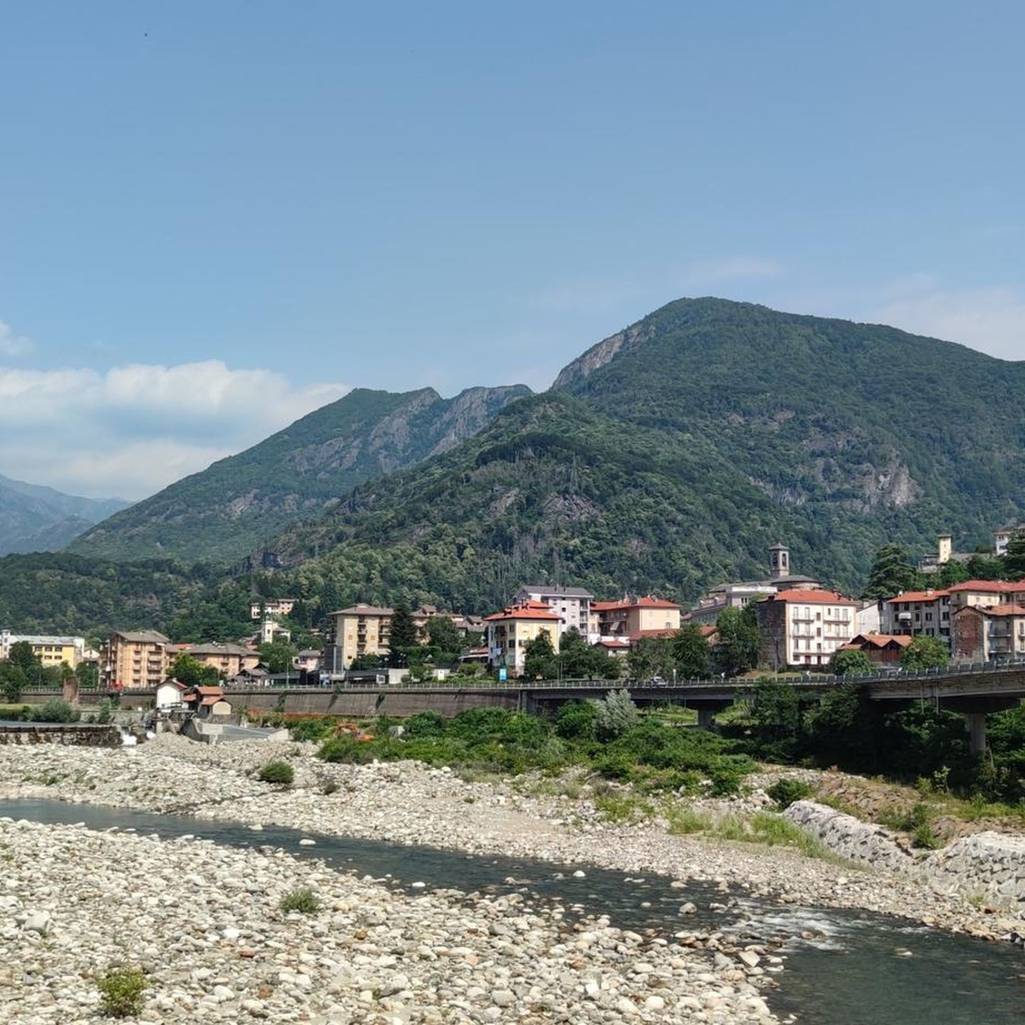
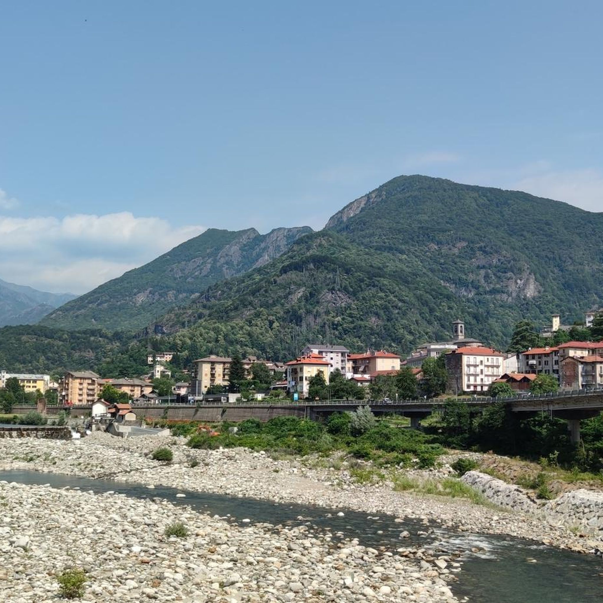
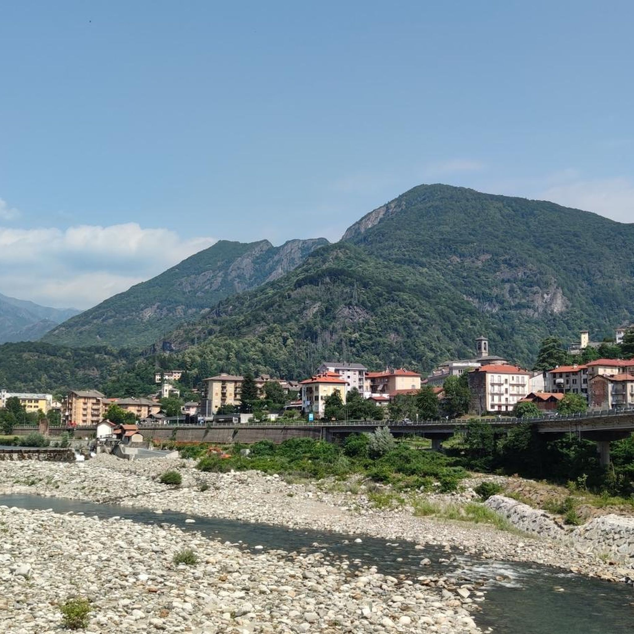
The historic center of Varallo, the heart of Valsesia, is a charming medieval village with 18th-century influences, famous for the UNESCO-listed Sacro Monte, the "Gaudenziana Wall" in the church of Santa Maria delle Grazie, and the Palazzo dei Musei.
6
0
The Ponte della Gula, located in Varallo Sesia in the Val Mastallone, is an ancient medieval humpbacked stone structure, suspended about 30-35 meters above the stream.
6
0
bridge named after General Antonini over the Mastallone stream
1
1
The collegiate church of San Gaudenzio is the main church of the town of Varallo, built on a small rocky promontory in the centre of the town, overlooking the square dedicated to Vittorio Emanuele II.
2
0

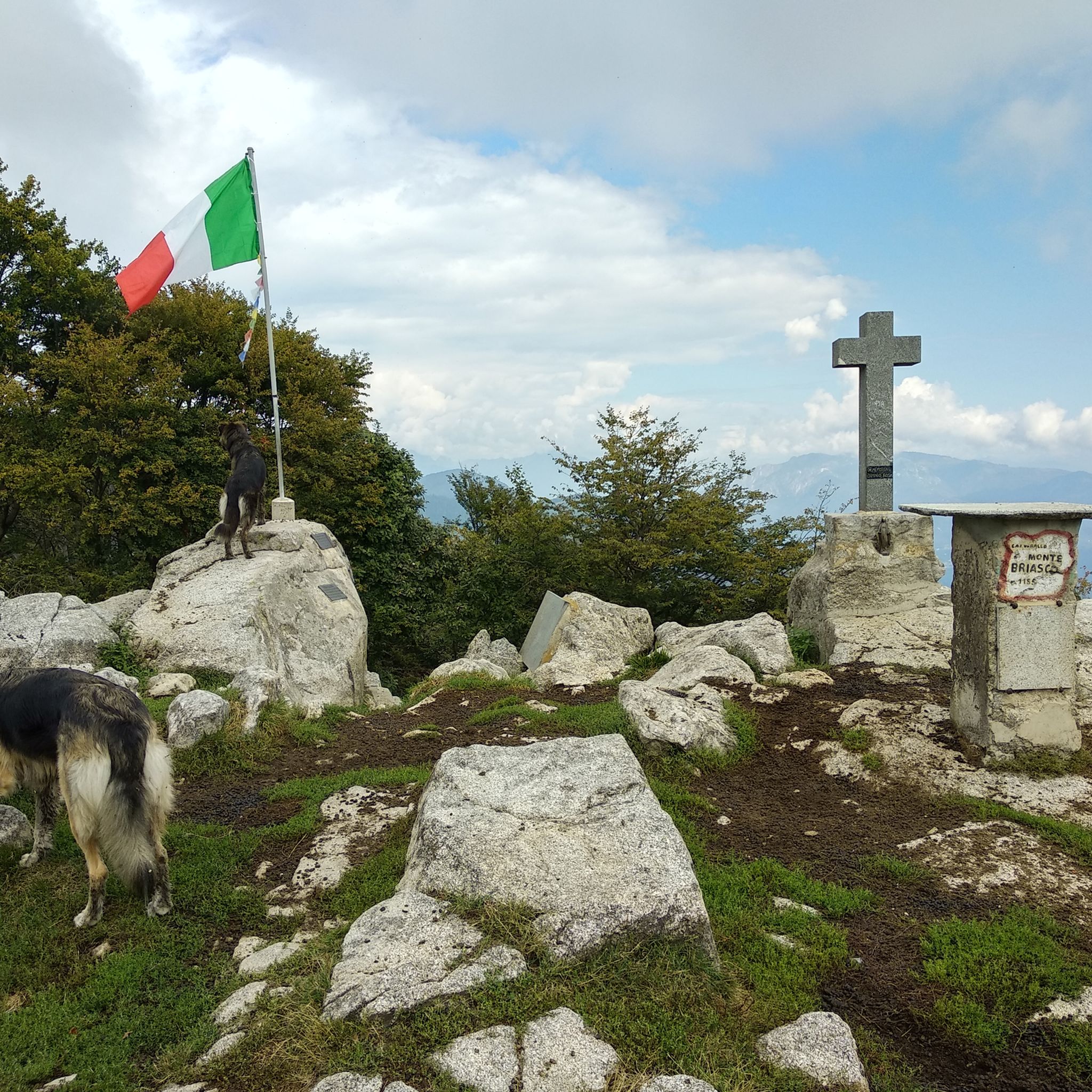
I don't count the times... everything is easy, pay attention from the refuge to the summit, a few meters here and there of steep rock, no stumbling or getting distracted, very dangerous. Done well, however, it is for everyone. I have done the return trip several times along the southern ridge, right in front of the refuge, rare signs for almost 400 meters of altitude difference, stay on the ridge on the back of the ridge until you exit at 1250 meters of altitude on the road that ends on the right at Alpe Passarina and on the left goes down to Selle di Parone and further on to Casavei. Instead of going down the road, I have taken the path several times (on the hairpin bend where it comes out) that, here too, staying on the back of the ridge, turning left when it ends, and paying attention to the few signs on the plants, goes down to the ancient Arcacce Alps, then Pometto (ruins), Uccello (ruins), Pra, where the dirt road begins and some renovated farmhouses, then Parone etc.
1
0

komootモバイルアプリでインスピレーションを得よう


さらに探索
他の地域の最高のランニングトレイル & ルートを見てみましょう。
