シャノンのおすすめMTBライド
5.0
(2)
52
ライダー
12
ライド
シャノンでマウンテンバイクを楽しめば、ロスコモンのこのエリアをより深く知ることができます。このエリアを最大限に満喫できるように、komootがマウンテンバイクルートのコレクション全体を評価して選び抜いた人気ルートをご紹介します。次の冒険にぴったりのマウンテンバイクルートを見つけるには、以下のルートをクリックしてkomootのマウンテンバイクコミュニティのメンバーが投稿した役立つ情報や写真を閲覧し、各ルートに関してみんなが気に入った点などを参考にしましょう。
最終更新日: 8月 31, 2026
1
ライダー
17.2km
01:52
600m
600m
Challenge yourself on this moderate 10.7-mile mountain bike loop to Moylussa Summit in Ballycuggaran Forest, offering panoramic Lough Derg v
中程度のマウンテンバイクライド. ある程度のフィットネスレベルが必要です。 高度なライディングスキルが必要です。

無料新規登録
1
ライダー
18.9km
01:21
310m
310m
This moderate 11.7-mile mountain bike loop from Meelick takes you around Woodcock Hill, offering a good workout in about 1 hour and 20 minut
5.0
(2)
15
ライダー
23.5km
01:53
100m
100m
初級者向けMTBライド. あらゆるフィットネスレベルに適しています。 あらゆるスキルレベルに適しています。
8
ライダー
15.6km
01:30
340m
340m
中程度のマウンテンバイクライド. ある程度のフィットネスレベルが必要です。 あらゆるスキルレベルに適しています。
10
ライダー
8.26km
01:03
340m
330m
中程度のマウンテンバイクライド. ある程度のフィットネスレベルが必要です。 あらゆるスキルレベルに適しています。
4
ライダー
22.7km
01:56
490m
480m
中程度のマウンテンバイクライド. ある程度のフィットネスレベルが必要です。 あらゆるスキルレベルに適しています。
3
ライダー
43.3km
02:24
280m
280m
中程度のマウンテンバイクライド. ある程度のフィットネスレベルが必要です。 あらゆるスキルレベルに適しています。
4
ライダー
25.1km
02:10
510m
510m
中程度のマウンテンバイクライド. ある程度のフィットネスレベルが必要です。 あらゆるスキルレベルに適しています。
4
ライダー
10.3km
00:51
50m
50m
初級者向けMTBライド. あらゆるフィットネスレベルに適しています。 あらゆるスキルレベルに適しています。
さらに多くのルートや他のユーザーのおすすめ情報を確認できます。
無料新規登録
すでにアカウントをお持ちですか?
おすすめのツアーは他のkomootユーザーが実際に経験した何千ものアクティビティに基づいています。
無料アカウントで今日から始めよう
次の冒険が待っています。
ログインまたは登録
シャノン周辺で人気
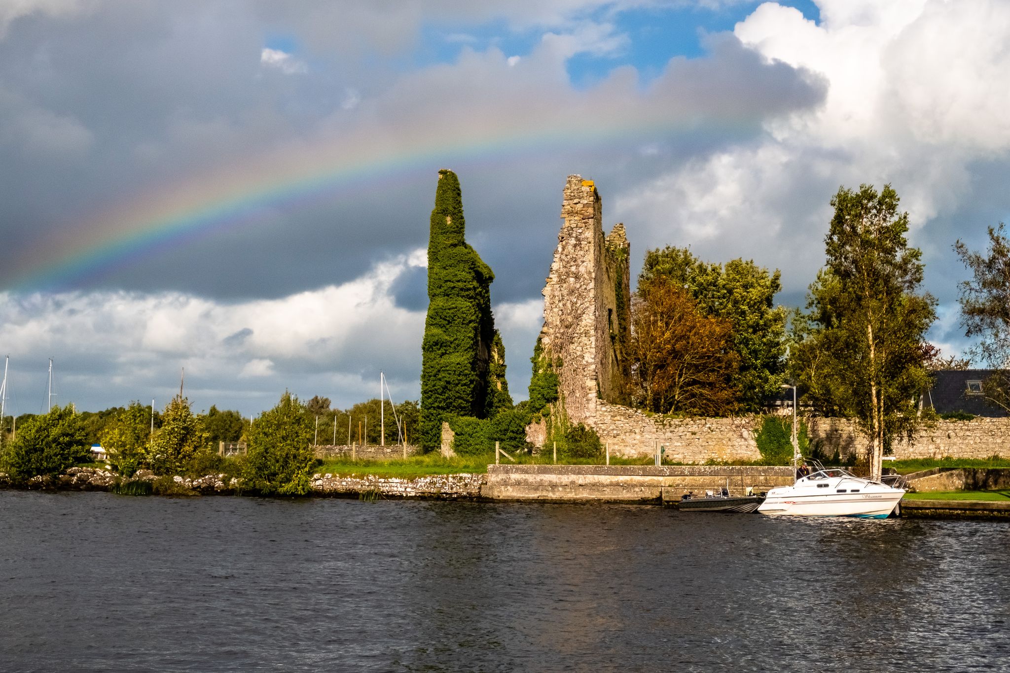
Lough Derg Way
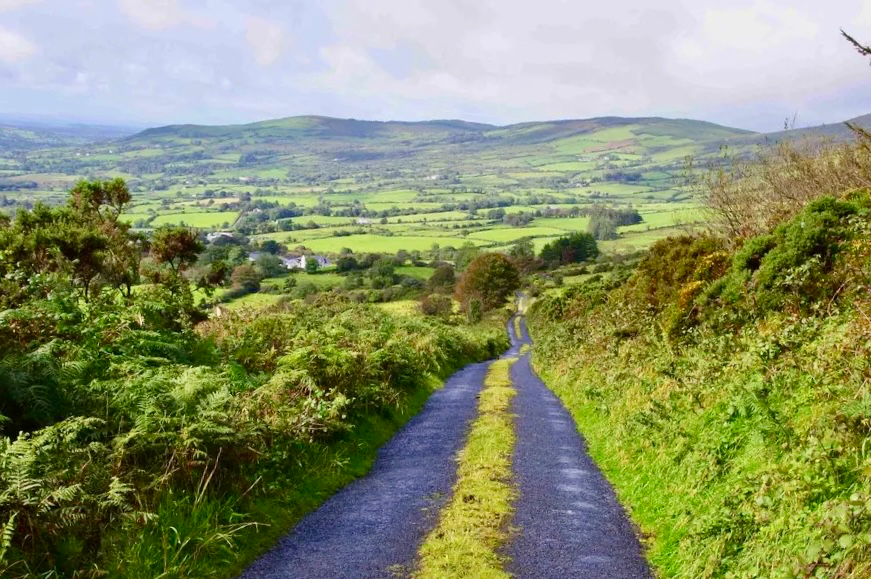
イースト・クレア・ウェイ - アイルランドの秘境を探訪
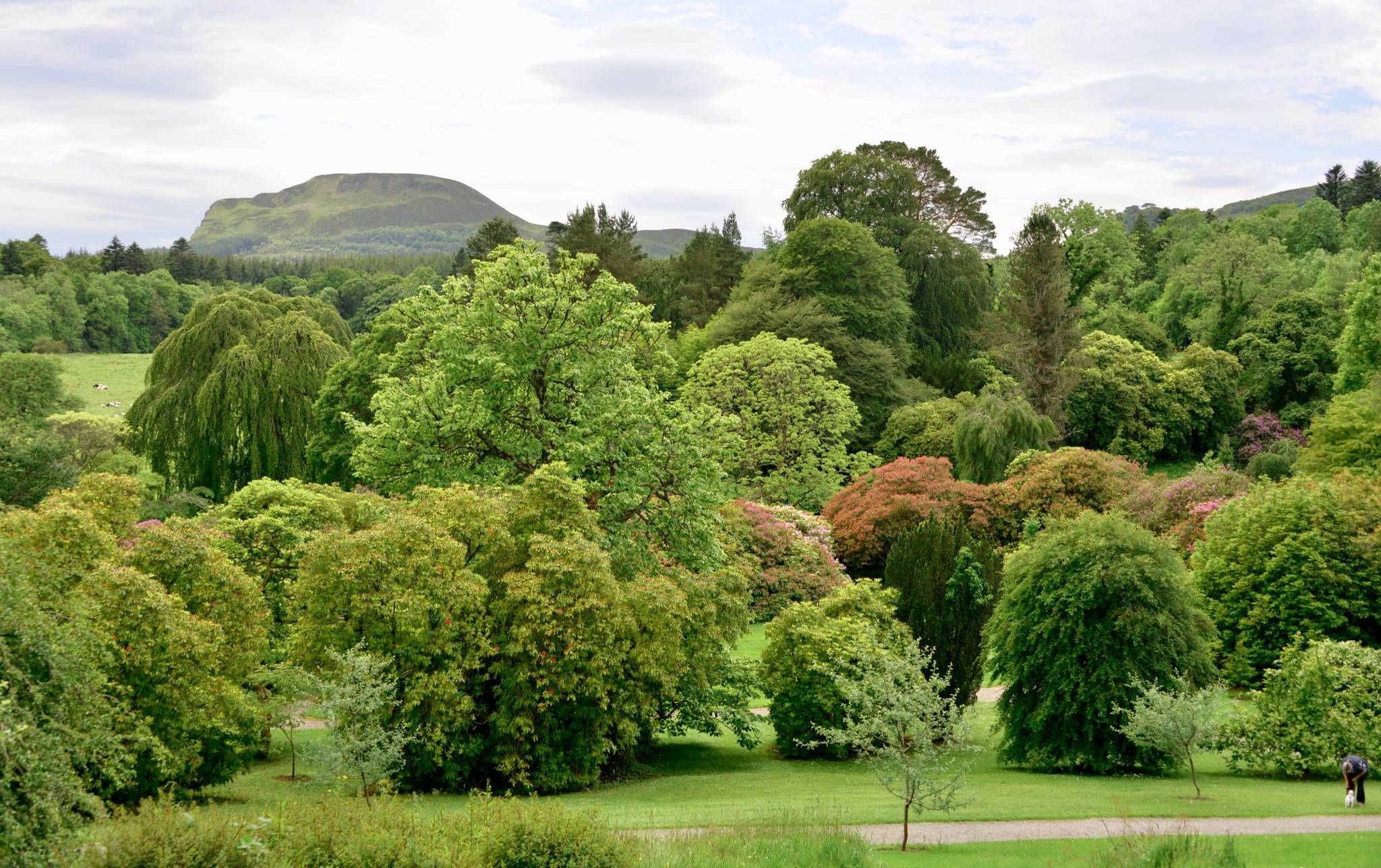
アイルランドの多様な歴史と自然を自転車で探索してみてください - Kingfisher Trail
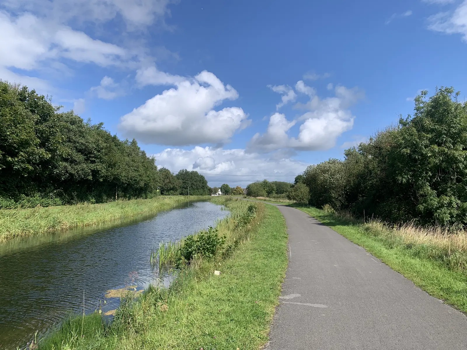
オールド・レール・トレイル・グリーンウェイ — アイルランド中部の遺産を巡るライド
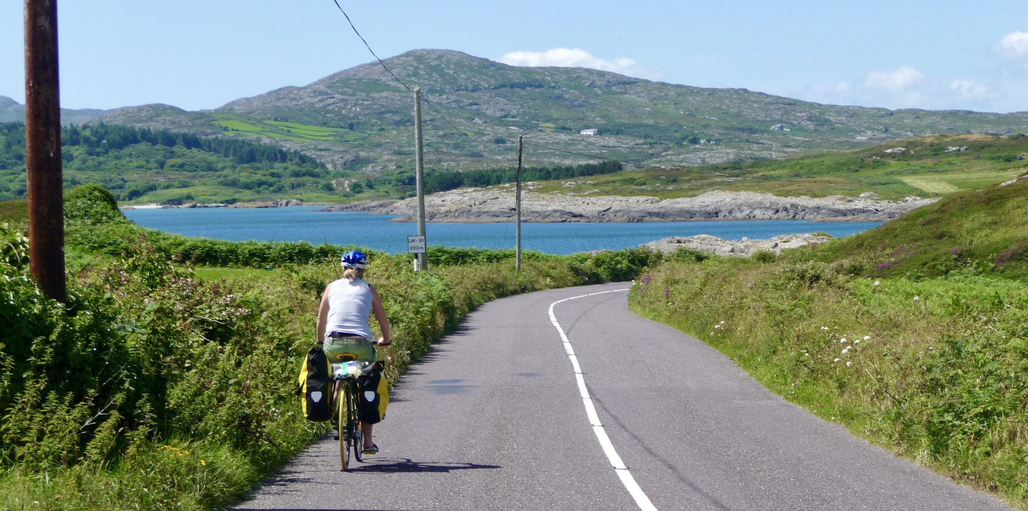
美しいアイルランドを発見して、マイゼンからマリンまでエンドツーエンドをサイクリングしてください

水を追いかけて - アイルランドの川と湖沿い

Ireland's blue rivers and lakes – walks along the water

Discover Ireland's past – historical walks on the Emerald Isle

Between waves and peaks — to the best views in Ireland
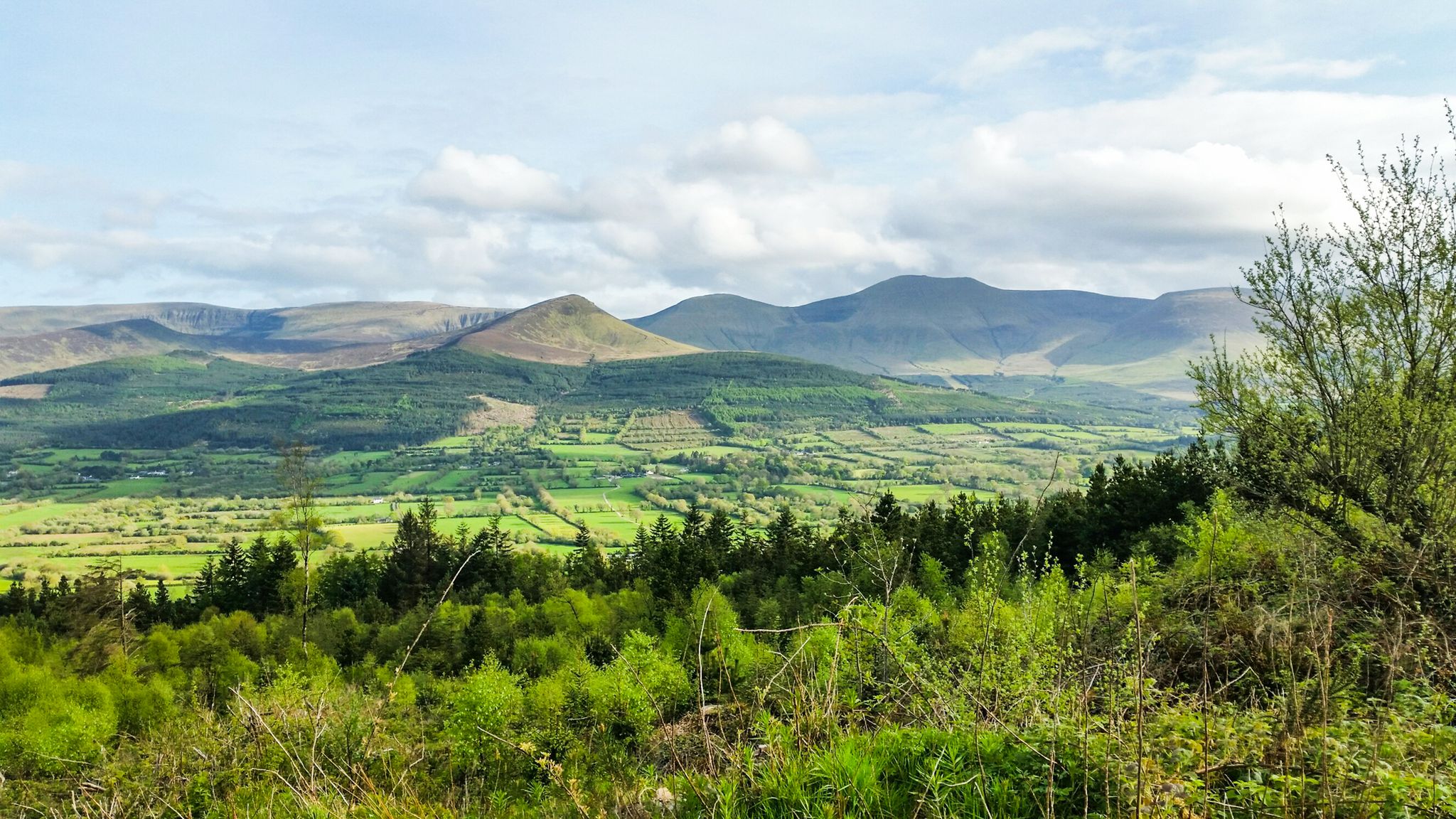
Hiking through the heart of the Emerald Isle – discover central Ireland
シャノンでのの他の冒険


コミュニティからのヒント

Whitegate is a welcoming village on the edge of Lough Derg, known for its lovely harbour and relaxed atmosphere. It’s a great stop on the East Clare Way to enjoy lakeside views or refuel at the local pub. Take a stroll down to the pier—the sunsets over the water here are some of the best in Clare.
0
0

Take special care during winter!! It becomes a swamp, which I'm happy to have survived 😮💨
1
0

The view of Lough Derg from here is truly something special. The gently rolling landscape alternates between green pastures, dense forests and scattered farms - all framed by the gentle waves of the lake. Sometimes clouds pass over the hills, giving the scenery an almost mystical touch, while on clear days the sun lights up the fields and makes the colors glow. As you cycle along the narrow roads, you can feel nature setting the pace here. Cows graze leisurely in the meadows and from time to time deer cross your path, making the moment all the more impressive. The changing sky ensures constant changes in the play of light - perfect for a little break to enjoy the view in peace. The path is a little bumpy here and there, but that's part of the experience. Such detours are worthwhile, especially if you want to lose yourself for a moment in the lush green and the peaceful sound of the wind. A place that has its own charm in any weather – be it the clear air in the morning or the gentle twilight at sunset.
1
0

Good tracks around Woodcock hill. The 'Golf ball' radar station at its peak standing at 310m provide good views of the surrounding countryside.
1
0
On the trailhead to the East Clare Way, explore many great tracks in this dense and enchanted forest with incredible views over Lough Derg.
0
0
Incredible views of Lough Derg and the surrounding landscape from Moylussa Summit. Gravel trail galore to explore on this mountain range near Kilalooe.
0
0
A tricky section descending from Maoylussa towards Kilalooe, The woooden Broadwalk allowing access over the bog is better taken going downhill.
0
0
Reaching the summit at 530m above sea level is not easy, especially after rains. The views are spectacular on a clear day. From Dromineer and the northern half of Lough Derg, to Thomond Park and Limerick, the Shannon Estuary and Moneypoint, all the way to the mountains of Kerry looming in the distance. Incredible spot to explore.
0
0
シャノンでのの人気観光スポット

komootモバイルアプリでインスピレーションを得よう


