パウリラーティノ/パウリラーティノのおすすめツーリングルート
4.3
(27)
299
ライダー
59
ライド
パウリラーティノ/パウリラーティノ周辺でのおすすめのサイクリングルートを参考にして、このエリアを最大限に楽しみましょう。ここでご紹介するのは、パウリラーティノ/パウリラーティノ周辺の人気バイクライドです。ぜひ、自分に合ったルートを見つけてください。
最終更新日: 8月 31, 2026
4.5
(2)
12
ライダー
24.9km
01:39
360m
360m
中程度の自転車ライド. ある程度のフィットネスレベルが必要です。 全般的に舗装された状態です。あらゆるスキルレベルに適しています。
10
ライダー
32.9km
02:03
350m
350m
Cycle the moderate 20.4-mile I Novenari di Ghilarza and Lake Omodeo ring tour, exploring Sardinian culture and nature.

無料新規登録
16
ライダー
62.3km
04:14
980m
980m
難しい自転車ライド. 標準以上のフィットネスレベルが必要です。 全般的に舗装された状態です。あらゆるスキルレベルに適しています。
3.8
(4)
13
ライダー
14.8km
01:26
290m
290m
中程度の自転車ライド. ある程度のフィットネスレベルが必要です。 全般的に舗装された状態です。あらゆるスキルレベルに適しています。
5.0
(2)
8
ライダー
58.5km
03:50
790m
790m
難しい自転車ライド. 標準以上のフィットネスレベルが必要です。 ツアーの一部で自転車を押して歩く必要があるかもしれません。
さらに多くのルートや他のユーザーのおすすめ情報を確認できます。
無料新規登録
すでにアカウントをお持ちですか?
おすすめのツアーは他のkomootユーザーが実際に経験した何千ものアクティビティに基づいています。
無料アカウントで今日から始めよう
次の冒険が待っています。
ログインまたは登録
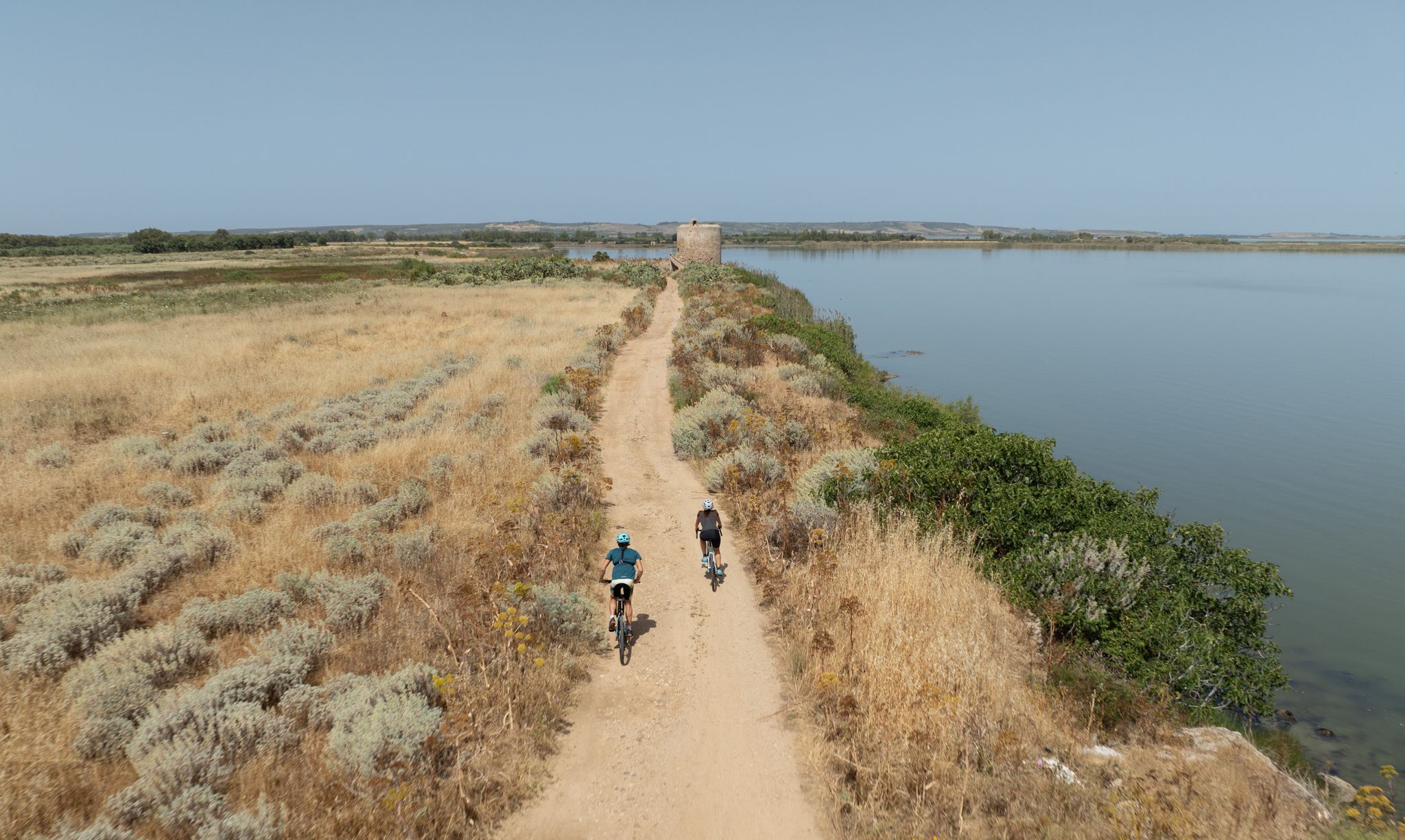
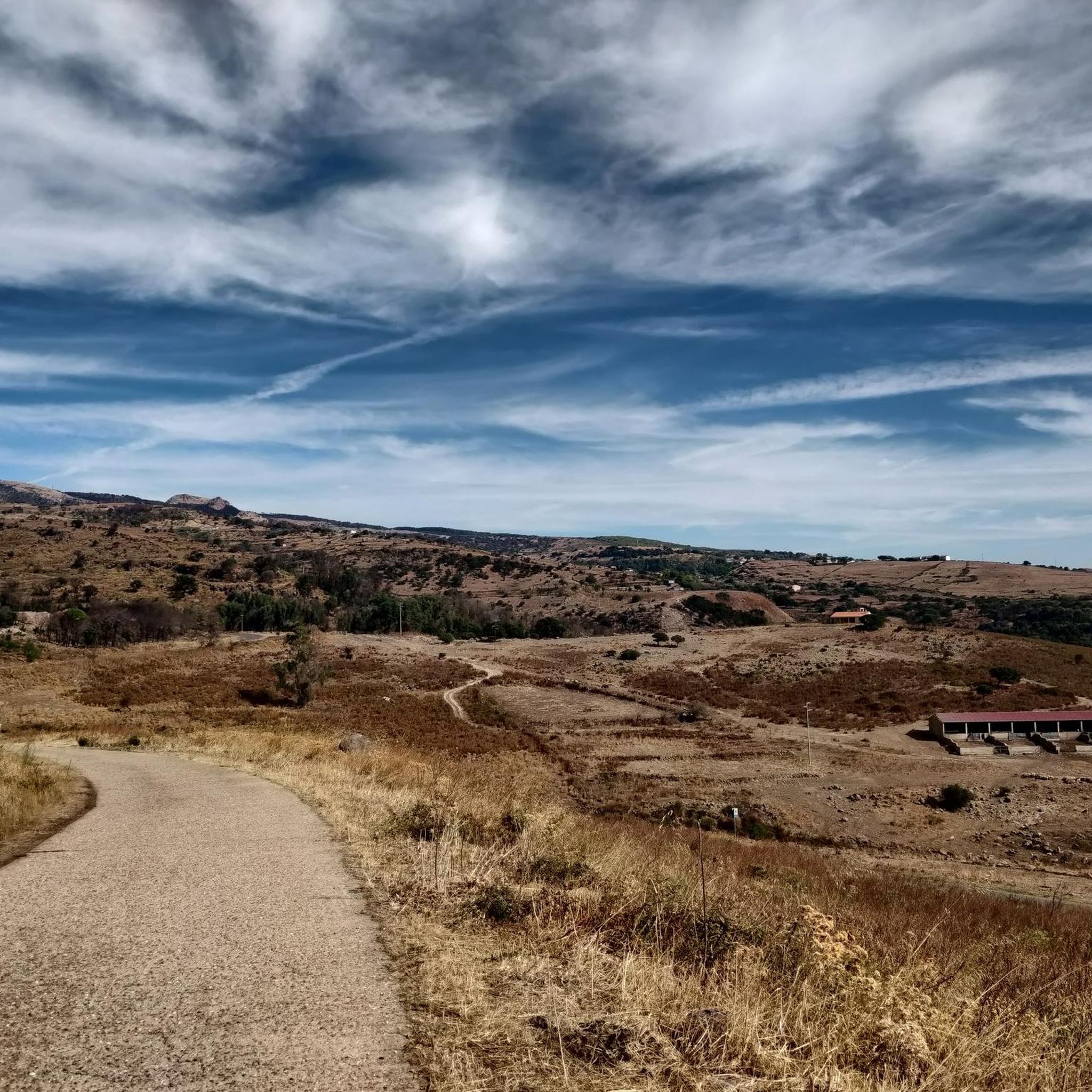
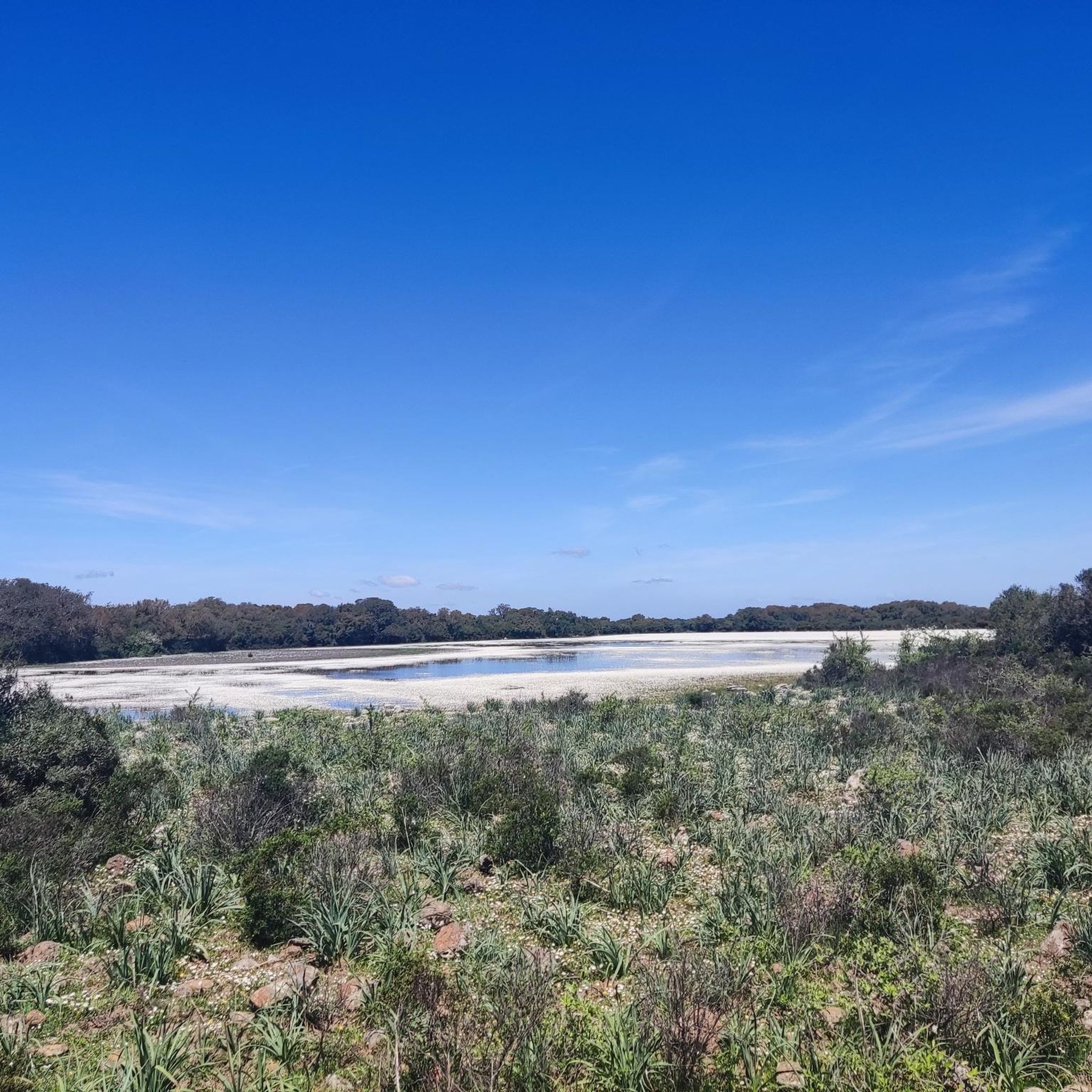
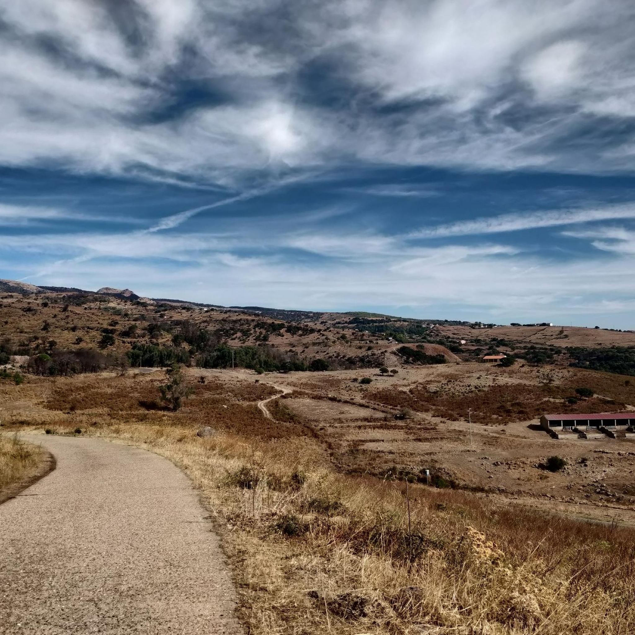
パウリラーティノ/パウリラーティノでのの他の冒険

コミュニティからのヒント

Drinking water fountain inside the town of Santulussurgiu.
0
0

Panoramic point from which to admire Santu Lussurgiu
1
0
Good asphalt, great views, challenging climb.
0
0

The Tirso is the longest river in Sardinia. It rises as Riu de su Campo north of Bitti, in the province of Nuoro on the east side of the island, flows through the Lago Omodeo reservoir and flows into Oristano on the west side of the island. In the middle reaches it is spanned by the Ponte Ezzu, an old Roman bridge, near Illorai. It is 150 km long and is only navigable in the last few kilometers. The fertile plain north of Oristano through which it flows is called the Tirso plain.
1
0
Located at the foot of Montiferru, it is the entry point for countless trails and mountain paths that can be visited by bike!
0
0


Piazzetta di Ghilarza, with the Aragonese Tower, a fortress tower built on two floors, and the Church of San Palmerio, with its unmistakable Sardinian Romanesque style perfectly inserted into the surrounding landscape, halfway between urban and rural.
1
0
The rural sanctuaries, typical of the Ghilarza countryside, have very ancient origins, and often preserve the remains of villages that have disappeared or been abandoned for centuries. There are also numerous pre-Nuragic and Nuragic remains in the area.
1
0
パウリラーティノ/パウリラーティノでのの人気観光スポット

komootモバイルアプリでインスピレーションを得よう


さらに探索
他の地域の最高のサイクリングルートを見てみましょう。
