ディコマーノの峠・トップ9
風景を楽しんだり、上りや下りを満喫したり、峠には楽しみ方がたくさんあります。ディコマーノの素晴らしい峠の一覧を参照して、思い出に残るアドベンチャーに出かけましょう。コミュニティのメンバーがコミュニティのために投稿した峠のハイライトは、他のユーザーが実際におすすめする情報なので、どれも信頼できるものです。気に入った峠にさっそく向かってみましょう。
最終更新日: 10月 27, 2026
ムラリオーネ峠
ハイライト • 山道
翻訳者 Google •
役立つ情報 は

トレ・ファッジ峠
ハイライト • 山道
翻訳者 Google •
役立つ情報 は

今すぐサインアップして、こんな場所を発見しよう
最高のシングルトラック、ピーク、その他のエキサイティングなアウトドアスポットのおすすめを受け取ろう。
パッソ・デッラ・コッラ
ハイライト • 山道
翻訳者 Google •
役立つ情報 は

Passo Carnevale
ハイライト • 山道
翻訳者 Google •
役立つ情報 は

Valico di Croce ai Mori
ハイライト • 山道
翻訳者 Google •
役立つ情報 は

無料でサインアップして、さらに多くの山道を発見しましょう ディコマーノでの。
すでにアカウントをお持ちですか?
無料アカウントで今日から始めよう
次の冒険が待っています。

コミュニティからのヒント


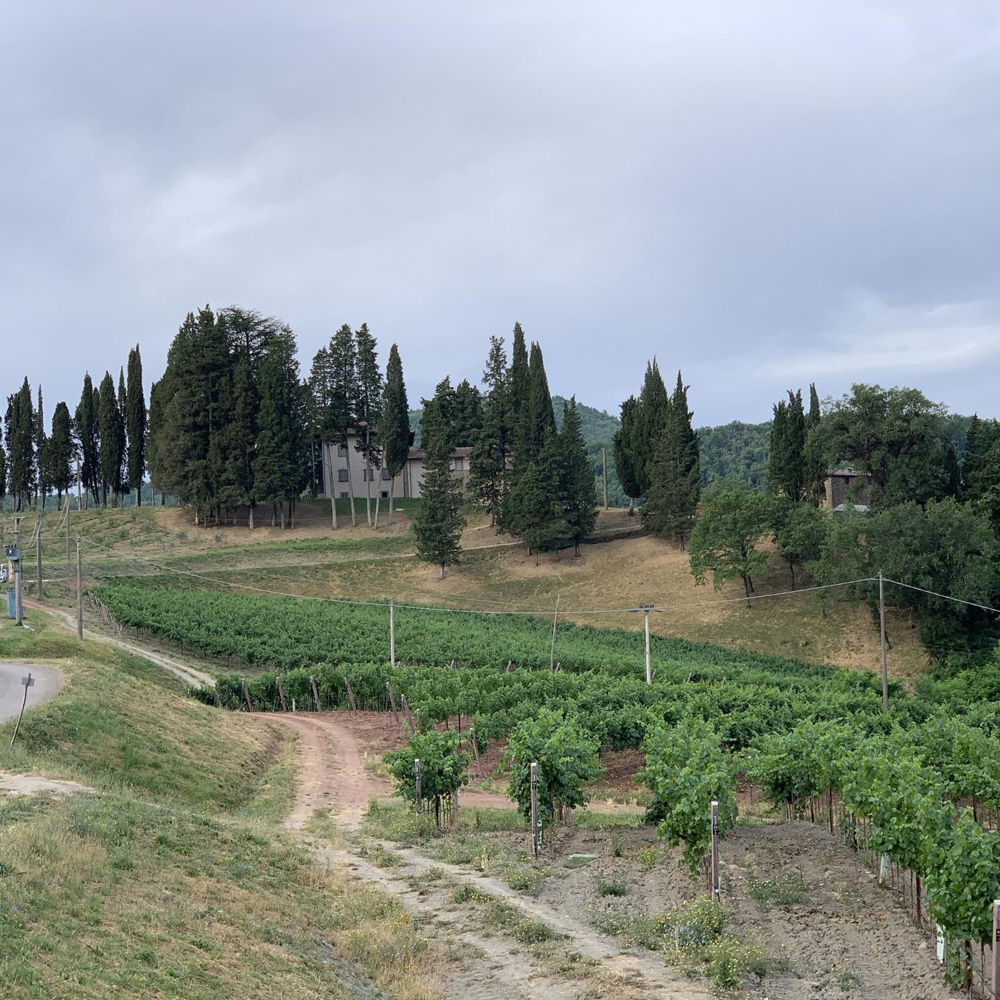
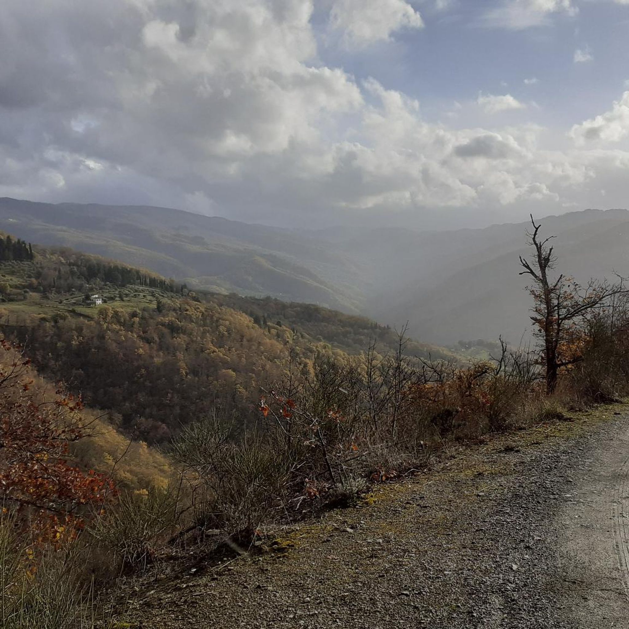
LondaからAppennino Bike Tourをたどり、Sp556のバリエーション(via Rincineの舗装された脇道)を登ってCroce dei Moriに登りました。
2
0


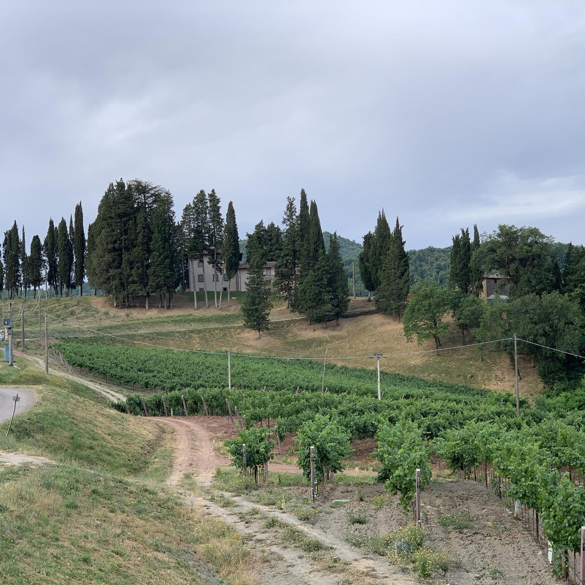
The pass is located in the municipality of Borgo San Lorenzo, in the province of Florence, at 913 m above sea level, along the former state road 302 Brisighellese Ravennate. It takes its name from the hamlet of Casaglia, which is the first town you come across when descending from the Romagna side. The former Alpe di Casaglia state road 477 branches off from the pass in a northerly direction and, after passing the nearby Sambuca Pass, descends the Senio valley.
2
0
Still closed (June 2024) and, I think forever, the old Bar-Restaurant. However, a bar is now open next door, on the side of the pass that leads towards Palazzuolo.
0
0

A classic for runners, cyclists and motorcyclists alike. The Bar Nido d'Allocco is the best for a stop based on flatbread, sandwiches, juices, beer, wine and so on and so forth....
0
0

Very beautiful but very tiring to reach by bicycle. It is possible to find mud which makes the climb even more difficult
1
0

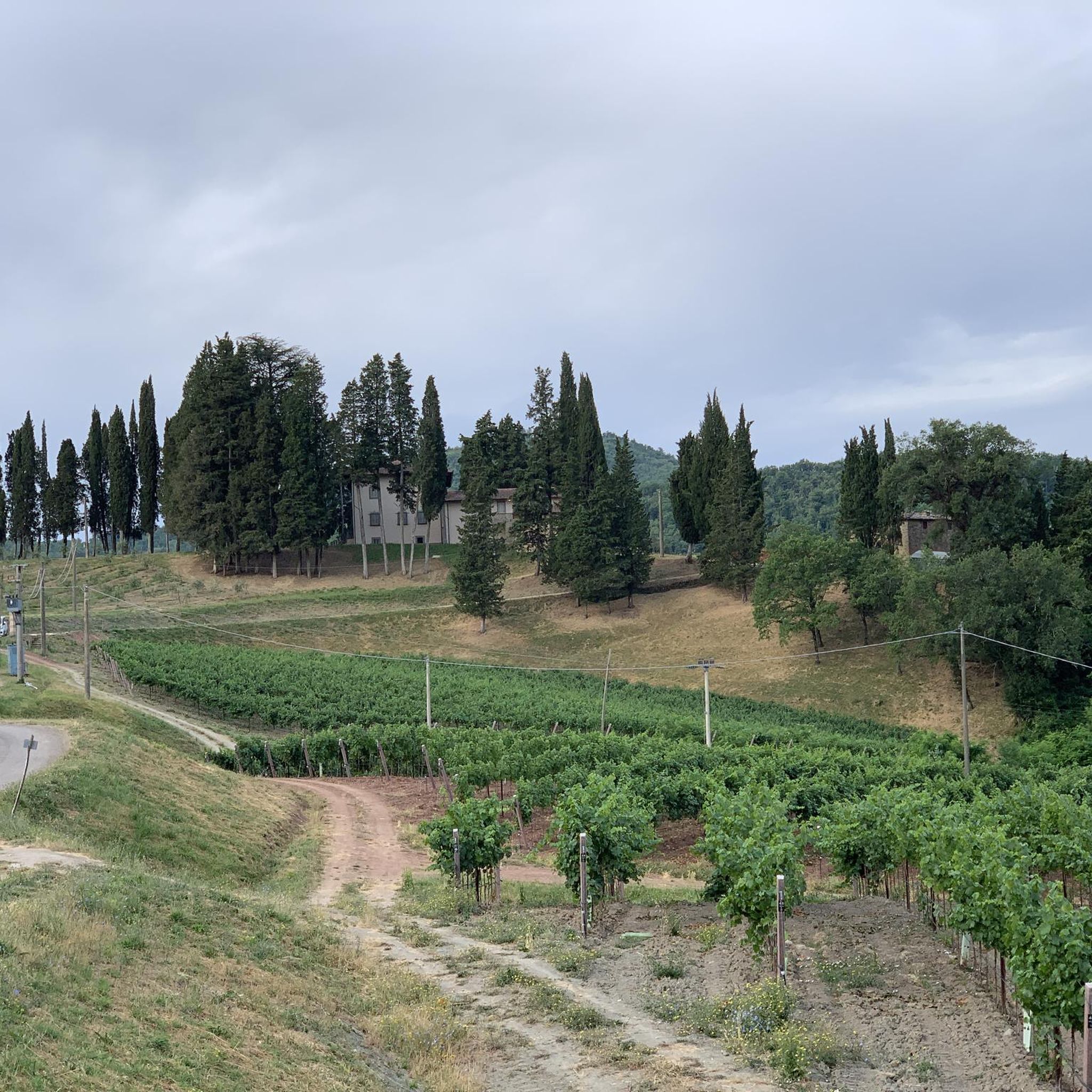
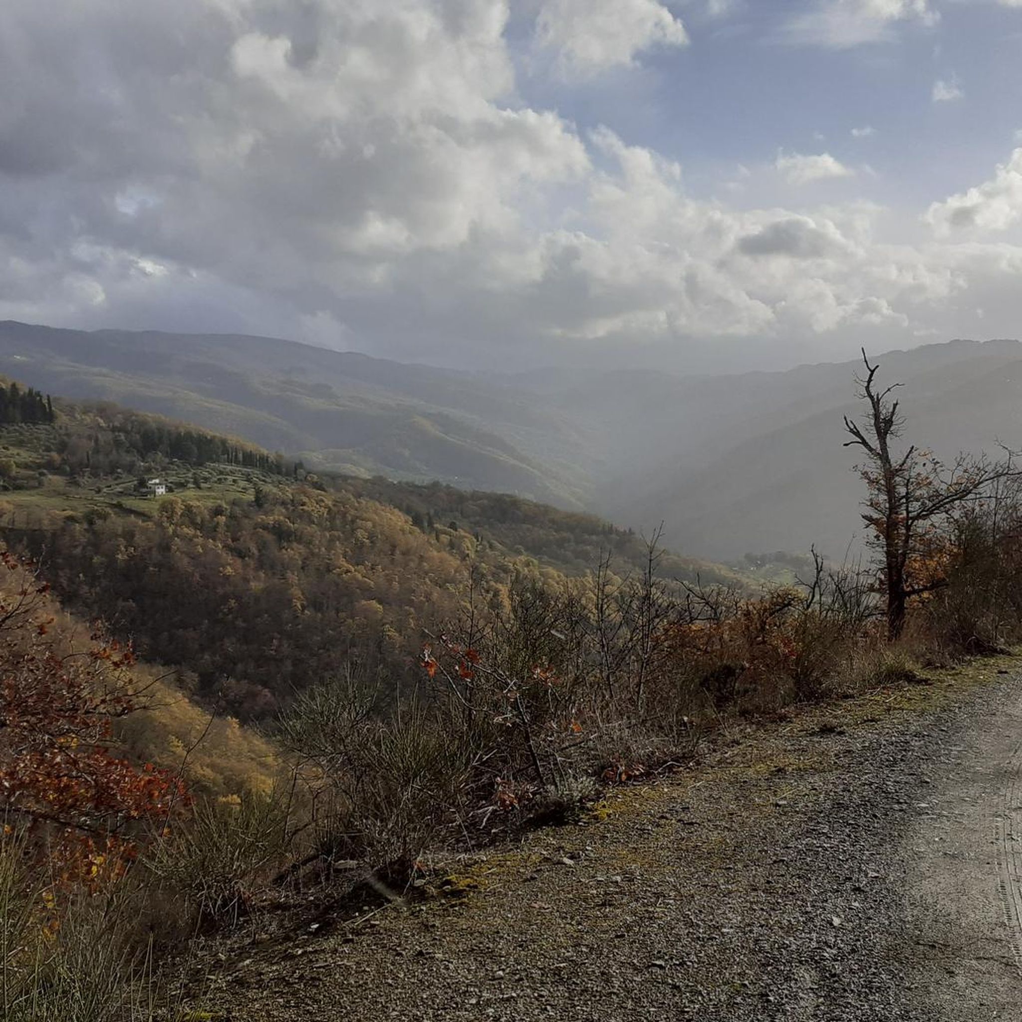
The Croce ai Mori pass is an Apennine pass located at a modest altitude, 955 meters above sea level. Going up from Londa the slopes are more challenging, from Stia they are gentler. Right at the pass there is a wooden cross (perhaps hence the name). The view over the Casentino forests is worth the effort!
6
0

komootモバイルアプリでインスピレーションを得よう


さらに探索
これらのガイドでさらに壮大な山道を見てみましょうディコマーノでの:
