リチリアーノ周辺のアトラクション&必見スポット - トップ10
リチリアーノには必見のスポットがたくさんあります。ハイキング愛好家やサイクリング愛好家の方は、ぜひリチリアーノを探索してこのエリアにある10
の隠れたスポットを訪れてみてください。このエリアの必見スポットを確認し、次の冒険に出かける計画を立てましょう。
最終更新日: 11月 7, 2026
カスカータ・グランデ・ディ・サヴォイア
ハイライト • 滝
翻訳者 Google •
役立つ情報 は

ブッチーノ城
ハイライト • 城
翻訳者 Google •
役立つ情報 は

今すぐサインアップして、こんな場所を発見しよう
最高のシングルトラック、ピーク、その他のエキサイティングなアウトドアスポットのおすすめを受け取ろう。
ピアーニ・ディ・ペコラ
ハイライト • 自然
翻訳を表示中
役立つ情報 は
短いがかなりタフなルート。T2の分類は誤りです。
ハイライト (セグメント) • トレイル
翻訳を表示中
役立つ情報 は
ヴォルケイ国立考古学博物館「マルチェッロ・ジガンテ」
ハイライト • 歴史的な場所
翻訳者 Google •
役立つ情報 は
無料でサインアップして、さらに多くの観光スポットを発見しましょう リチリアーノでの。
すでにアカウントをお持ちですか?
無料アカウントで今日から始めよう
次の冒険が待っています。
リチリアーノ周辺で人気
コミュニティからのヒント

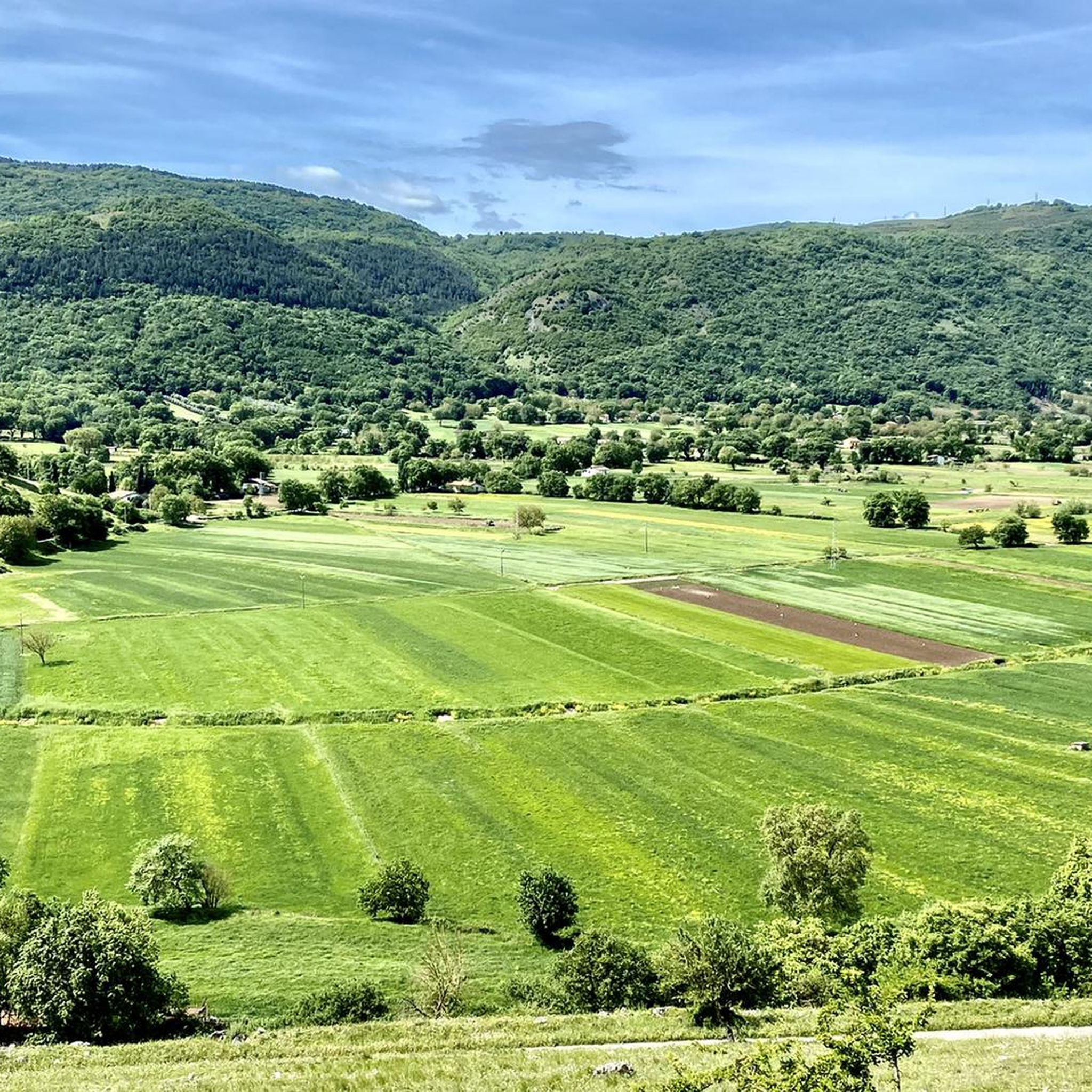
I Piani di Pecora(またはPiano di Pecora)は、コッリアーノ(SA)の自治体にあるエレーミタ・マルツァーノ山脈自然保護区内にある、手つかずの自然のオアシスでありピクニックエリアです。エボリからすぐの場所にあり、ティレニア海まで広がる壮大なパノラマを提供し、ブナの森に囲まれたハイキングに理想的な出発点です。訪問に役立つ情報場所:コリアンネッロ(コッリアーノの集落)エボリからの距離:約45km(車で約1時間15分、セレ川渓谷を遡上)標高:標高1,500メートルを超える山岳地帯の内部設備:テーブル、ベンチ、屋外での食事スペースが備わっています。約800メートル先には、ピアーノ・ルオンゴの設備のあるエリアもあります。
1
0
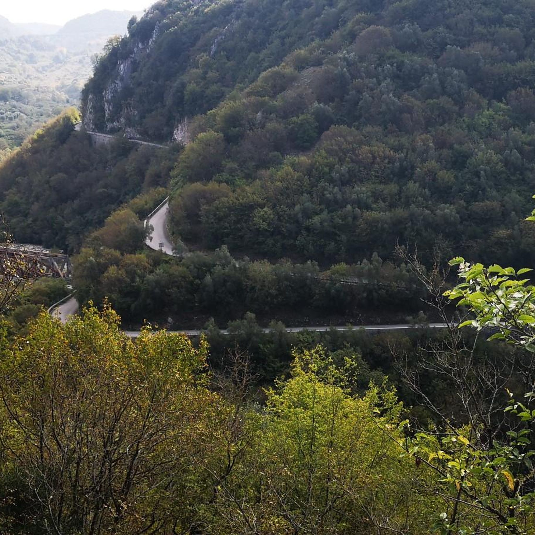
Piani di PecoreからMarzano山の頂上までのルートは1.5km強で、高低差は約300mです。地図上ではT2に分類されていますが、私の意見では、この分類は誤りです。傾斜は平均で20〜25%ですが、40〜45%の区間もあります。多くの場所で地盤は緩く、露出しています。春から夏にかけては、特にイラクサやアザミなどの植生が、十分に保護されていないと問題を引き起こします。ルート沿いに水はなく、大部分は日当たりの良い場所です。岩の間を通過しなければならない箇所がいくつかあり、これは往復の両方で同様です。頑丈な靴、長ズボン、長袖のシャツ、手袋、サングラス、水など、十分な装備が必要です。往復でわずか3km強の距離だけを見て、このルートを過小評価しないことをお勧めします。
1
0

Buccinoは古代のVolceiです。美しい町の中心部にある都市考古学公園とノルマンディー城は一見の価値があります。
0
0

The large waterfall is one of the Savoia waterfalls, it is located in the Tuorno valley, a place of extreme beauty.
1
0
The National Archaeological Museum of Volcei traces, through the exhibits, the long and fascinating history of the populations that over the centuries have inhabited the hills overlooked by the Alburni mountains. The Museum is dedicated to the memory of Marcello Gigante, an illustrious citizen of Buccino, a refined and sensitive philologist, Hellenist and papyrologist, founder, among other things, of the Center for the study of Herculaneum papyri, who always strongly hoped for the establishment of the Archaeological Museum . The Museum is housed in a fifteenth-century building formerly the Convent of the Eremitani di Sant'Agostino for a total area of about 1600 square meters distributed on the four levels through which the exhibition itinerary winds. http://ambientesa.beniculturali.it/BAP/?q=luoghi&luogo=Musei&provincia=Salerno&comune=Buccino&src=&ID=61
1
0
That of Buccino represents a typical example of the baronial castle of the Salerno hinterland. The manor, although in a state of ruin, has recently been restored as part of the programs of the Ancient Volcei urban park. The various architectural elements have been preserved through which it is possible to read the chronological and functional evolution of the site. It is not excluded that the promontory guarding the underlying inhabited area was already used in Roman times, as evidenced by the various elements of reuse found in recent works. However, we must wait until the 12th century to have the first documentary information of the fief of Buccino, through which we know the names of the first dominus: Nicola di Principato, count (1128); Judge Aminabad (1141); Riccardo Philippi (1141). With the advent of the Swabians the castle had to lose importance, since it is not mentioned in the Statutum de reparatione castrorum imperialium. Even afterwards there is no news about the presence of castellans and servants inside the castle. From these data it can be deduced that the Buccinese castle did not play a particularly important role, from a military point of view, in the chessboard of the Kingdom's fortifications. In 1247 the castrum Buccino or Pulcini belonged to the feudal lord Tommaso di Fasanella. With the Angevins the castle was again assigned to important feudal lords, who changed the face of the manor according to the customs of the time. In 1269 the castle, together with those of Campagna, Eboli, Auletta and Quaglietta, was assigned to Roberto, eldest son of the Count of Flanders. Already in 1271 it was revoked from the Royal Curia, to be then assigned, until 1274, to Gualtiero de Sommerouse, soldier and executioner of the Kingdom. During the fifth summons of Charles I of Anjou (1276-1277) the castle was stolen from Tommaso Count of Marsico to be assigned to Guidone d'Alemagna, soldier, executioner, councilor, royal family, treasurer and fiscal receiver. In the following two centuries, the castle was in the possession of the d'Alemagna family, then passed to the Caracciolo and Di Sangro families. At present the castle structure is characterized by a mighty Norman square-plan keep which must have been the only existing structure, at least until the advent of the Angevins. The construction of a first courtyard dates back to the late 13th century, with related residential buildings, two circular towers at the corners and a large cistern, with an adjoining service area in the southern part. This first transformation is probably the work of the d'Alemagna family, in a crucial moment for the history of the Kingdom, characterized by the so-called war of the Vespers, which broke out in 1282 and which reached its peak in Campania at the end of the 13th century. In that period they began to build circular towers with escarpments at the base with an upper crown consisting of corbels and arches for the plumbing defense. Although the circular towers of the castle of Buccino are cut off, they fall within this type of construction, typical of Angevin castle architecture. In the first half of the 14th century, the castle underwent a new structural reorganization. The hill is equipped with a defensive system consisting of a moat with two other circular towers and a second wall. Some rooms and a stable included in the perimeter area of the external walls can still be ascribed to the Angevin age. Between the sixteenth and seventeenth centuries the castle underwent a gradual abandonment, as evidenced by the progressive filling layers of the moat and the levels of obliteration found in the environment identified as the stable. The resumption of intensive occupation of the hill takes place between the eighteenth and nineteenth centuries when the reorganization of the internal courtyard, occupied along the northern edge by a stable, and the creation of a water drainage system, defined a substantial change in the intended use of the spaces. During the nineteenth century. the castle assumes the appearance of a building witnessed by four large limestone, located along the northern slope of the hill, and by numerous lime extinguishing pits in the southern part. arch. Lucio Ganelli
1
0

komootモバイルアプリでインスピレーションを得よう


さらに探索
まだ探しているハイライトが見つかりませんか?他の地域のトップアトラクションのガイドを見てみましょう:
