シュリーンゲンのおすすめライド
4.5
(692)
9,763
ライダー
21
ライド
シュリーンゲン周辺でのロードバイクライドをお考えですか?komootはシュリーンゲン周辺のあらゆるロードバイクライドを評価し、人気ルートを厳選しました。シュリーンゲン周辺の各ロードバイクルートの詳細をご覧になり、自分に合ったルートを見つけてください。
最終更新日: 9月 14, 2026
4.7
(77)
330
ライダー
50.8km
02:14
350m
350m
中程度のロードライド. ある程度のフィットネスレベルが必要です。 全般的に舗装状態が良好で走行しやすい道です。
5.0
(1)
48
ライダー
42.3km
01:58
460m
460m
中程度のロードライド. ある程度のフィットネスレベルが必要です。 全般的に舗装状態が良好で走行しやすい道です。

4.5
(4)
55
ライダー
25.6km
01:13
290m
290m
中程度のロードライド. あらゆるフィットネスレベルに適しています。 ツアーの一部に、未舗装のため走行が難しい箇所があるかもしれません。
3.7
(10)
48
ライダー
58.0km
02:15
130m
130m
中程度のロードライド. ある程度のフィットネスレベルが必要です。 全般的に舗装状態が良好で走行しやすい道です。
4.4
(24)
202
ライダー
51.4km
02:05
170m
170m
中程度のロードライド. ある程度のフィットネスレベルが必要です。 全般的に舗装状態が良好で走行しやすい道です。
さらに多くのルートや他のユーザーのおすすめ情報を確認できます。
すでにアカウントをお持ちですか?
おすすめのツアーは他のkomootユーザーが実際に経験した何千ものアクティビティに基づいています。
無料アカウントで今日から始めよう
次の冒険が待っています。
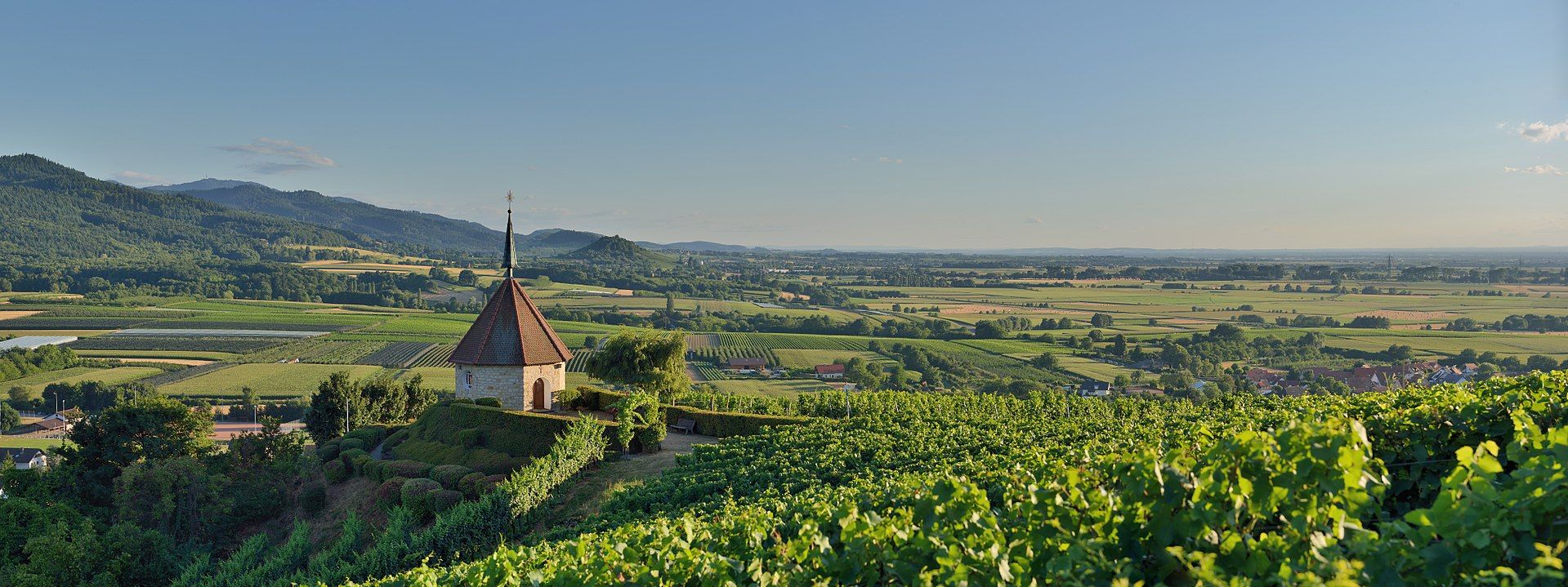
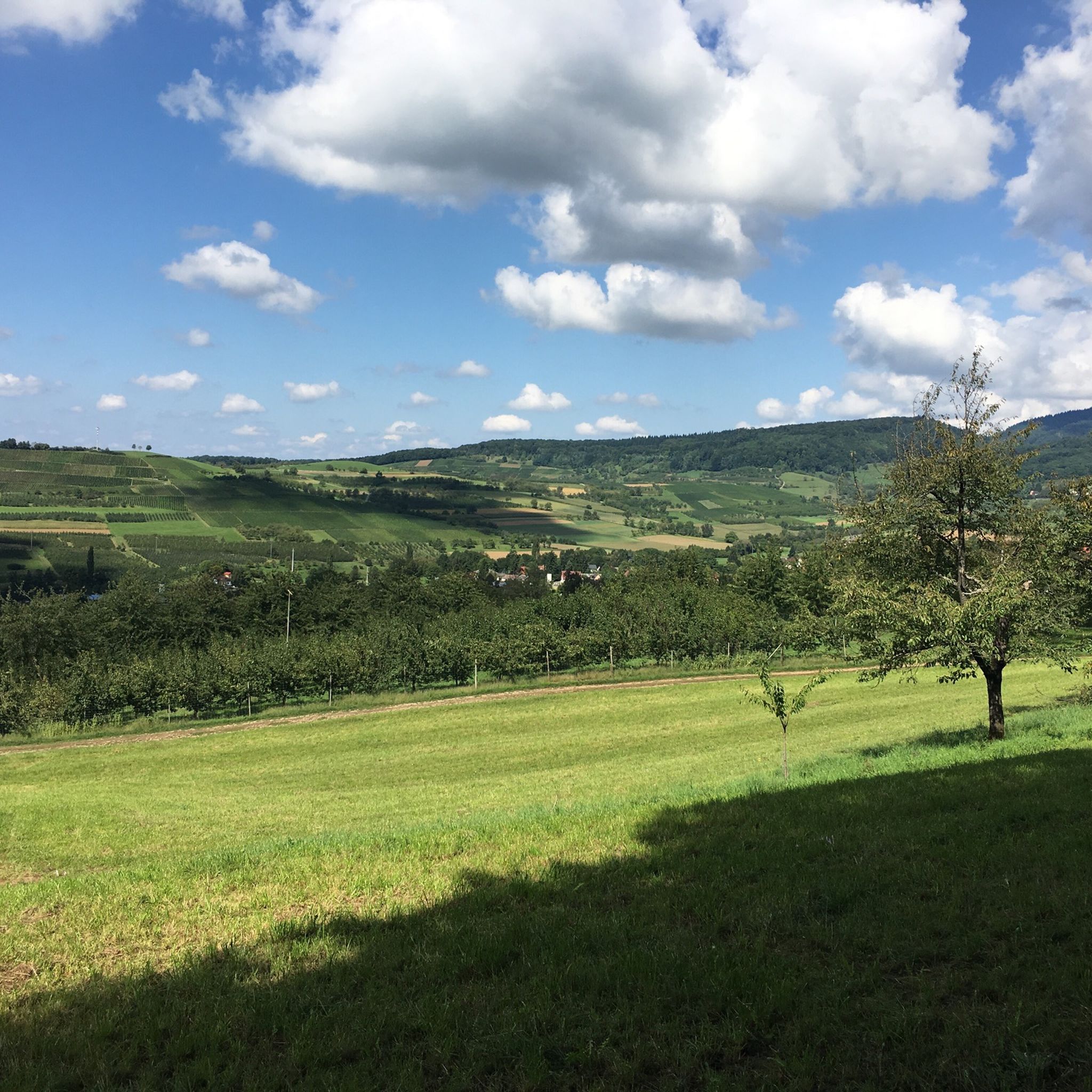
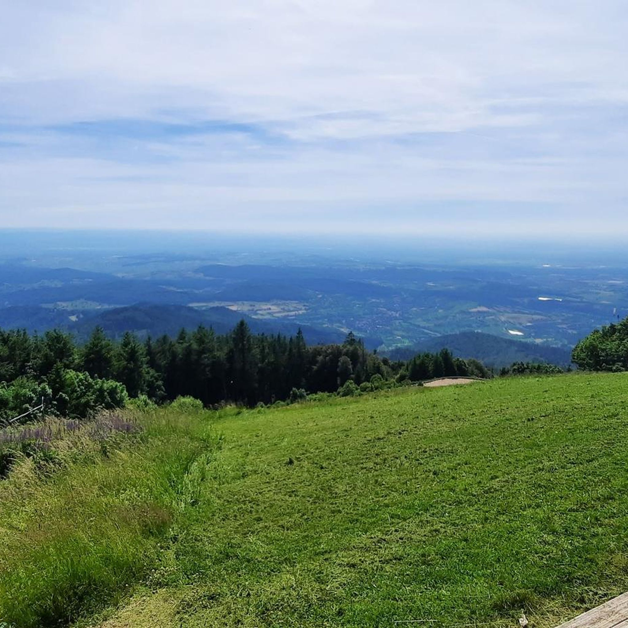

コミュニティからのヒント


教会は13世紀末に初めて文書で言及されていますが、最も古い部分は実際に12世紀にまで遡ることが証明されています。身廊は1750年代に再建されました。
1
0

🏰During the Franco-Dutch War, the castle was blown up by French troops under Marshal Créquy on April 6, 1678, and burned to the ground. It was never rebuilt and was used by the local population as a quarry for a time.
1
0
🏰 Badenweiler Castle (also known as Baden Castle) is the prominent landmark of the spa town, perched majestically above the spa gardens. It boasts a history spanning almost 900 years and offers one of the most spectacular viewpoints in the Markgräflerland region.
1
0

Well-preserved and beautiful Zähringer ruins.
6
0

Istein's beautiful historic town center features narrow streets and old half-timbered houses.
0
0

Between Badenweiler and Kandern above Schallsingen; beautiful view of the Eggenertal, on the horizon the Vosges Mountains with the Grand Ballon
0
0

Wikipedia states: The Fessenheim Power Plant is a run-of-river power plant on the Lateral Rhine Canal (French: Grand Canal d'Alsace) in France. It is located near Fessenheim in the Haut-Rhin department. The Fessenheim Power Plant is the third of four power plants along the Lateral Rhine Canal. A lock with two lock chambers was built in a parallel section of the canal to accommodate shipping. The Fessenheim Nuclear Power Plant is located approximately one kilometer upstream of the canal. The municipal road connecting Hartheim am Rhein in Baden and Fessenheim crosses the canal directly at the power plant.
0
0

komootモバイルアプリでインスピレーションを得よう


さらに探索
他の地域の最高のロードサイクリングルートを見てみましょう。
