カピストレッロのおすすめMTBライド
4.3
(315)
2,100
ライダー
151
ライド
カピストレッロ周辺には魅力的なマウンテンバイクルートがいくつもありますが、冒険を始めるにはその場所とルートを把握する必要があります。ここでは、komootが提供するカピストレッロ周辺でのマウンテンバイクルートのコレクション全体を評価して選び抜いた、人気ルートをご紹介します。各ライドの詳細をぜひご覧ください。
最終更新日: 8月 31, 2026
4.0
(1)
11
ライダー
67.4km
06:17
1,620m
1,620m
難しいマウンテンバイクライド. 標準以上のフィットネスレベルが必要です。 高度なライディングスキルが必要です。
5.0
(4)
37
ライダー
40.5km
04:00
1,130m
1,130m
難しいマウンテンバイクライド. 標準以上のフィットネスレベルが必要です。 あらゆるスキルレベルに適しています。

無料新規登録
1.5
(2)
23
ライダー
35.8km
02:25
510m
510m
中程度のマウンテンバイクライド. ある程度のフィットネスレベルが必要です。 あらゆるスキルレベルに適しています。
4.7
(7)
18
ライダー
22.1km
02:25
630m
630m
中程度のマウンテンバイクライド. ある程度のフィットネスレベルが必要です。 高度なライディングスキルが必要です。
4.4
(5)
25
ライダー
54.3km
06:02
1,490m
1,490m
難しいマウンテンバイクライド. 標準以上のフィットネスレベルが必要です。 高度なライディングスキルが必要です。ツアーの一部で自転車を押して歩く必要があるかもしれません。
さらに多くのルートや他のユーザーのおすすめ情報を確認できます。
無料新規登録
すでにアカウントをお持ちですか?
おすすめのツアーは他のkomootユーザーが実際に経験した何千ものアクティビティに基づいています。
無料アカウントで今日から始めよう
次の冒険が待っています。
ログインまたは登録
カピストレッロでのの他の冒険

コミュニティからのヒント


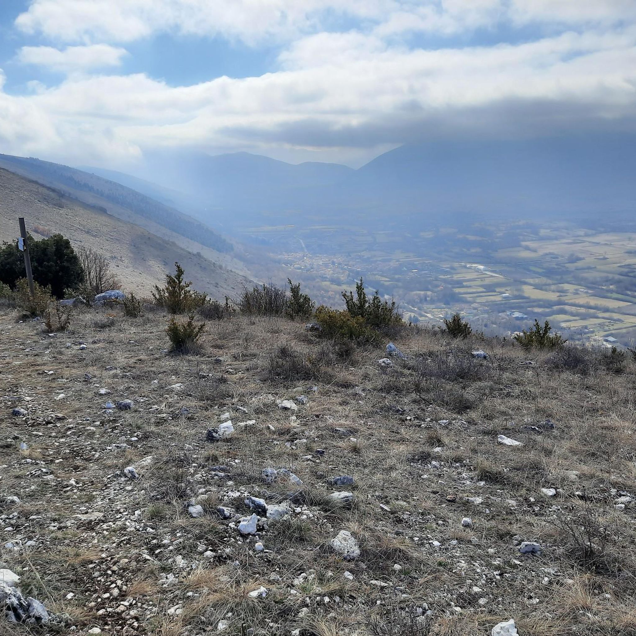
Panoramic point at about 1750 meters above sea level, important crossroads for singletrack
0
0

Historically, boundary stones date back to Roman times; they were considered sacred and governed by specific legal norms. In modern times, they were widely used starting in the 15th century to mark borders between states, with many significant examples also between the Kingdom of the Two Sicilies and the Papal States in the 19th century, when hundreds were placed along a line separating the two states. These stones are often actual stone columns with coats of arms and numbers indicating the sequence and the state to which the border belongs. This one from 1847 features the Keys of St. Peter, symbol of the Papal States, and the Bourbon Lily, symbol of the Kingdom of the Two Sicilies.
0
0


Starting from Campo dell'Osso, at an altitude of 1,750 meters, amid cool beech forests and silence broken only by the sound of tires on the ground. After a short initial stretch on a mixed trail, we immediately enter the heart of Cannavacciari, one of the most evocative trails in the Simbruini Mountains Natural Park. The trail winds steadily downhill, technical yet fluid, for 6.2 km, reaching Campo Secco at 1,340 meters. The elevation gain is significant—about 410 meters—but the varied terrain makes it fun and never boring. Fast sections alternate with tight curves, passages over roots, rocks, and some counter-slopes of up to 19%, reminding us that even on descents, you need to be strong. Every curve offers glimpses of the forest, shady sections, and the scent of pristine nature. The Cannavacciari trail has a touch of the ancient past: it's said to have been a link once used by charcoal burners and shepherds, and today it's beloved by mountain bike enthusiasts for its wild and authentic feel. The trail isn't always marked, so GPS is strongly recommended. Once you reach Campo Secco, an intense experience comes to an end, where every meter has been earned with technique and attention. A must for those who love natural, uncontrived enduro.
0
0
It is a small reservoir, or lake, located on the Campo Ceraso karst plateau, within the Monti Simbruini Regional Natural Park, in the upper Fioio Valley, between Monte Tarino and the Serra di San Michele. This area is characterized by a mountainous landscape with large beech forests, sinkholes, and swallow holes, typical of karst terrain. The area once marked the border between the Papal States and the Kingdom of Naples, and the ancient boundary stones can still be seen today. An unattended refuge is also located near the lake.
0
0
カピストレッロでのの人気観光スポット

komootモバイルアプリでインスピレーションを得よう


さらに探索
他の地域の最高のMTBトレイルを見てみましょう。
