ニアルドの湖・トップ8
次の冒険でニアルドの素晴らしい湖を訪れてみませんか?湖畔の穏やかな雰囲気や、天気が良い日のひと泳ぎは格別です。komootコミュニティがおすすめするニアルドの素晴らしい湖の一覧を参考にして、次の冒険では湖をもっと満喫しましょう。
最終更新日: 10月 17, 2026
ローヴァ湖
ハイライト • 湖
翻訳者 Google •
役立つ情報 は

リフージョ・ティータ・セッキ
ハイライト • 山小屋
翻訳者 Google •
役立つ情報 は

今すぐサインアップして、こんな場所を発見しよう
最高のシングルトラック、ピーク、その他のエキサイティングなアウトドアスポットのおすすめを受け取ろう。
コンカ・デイ・カンペッリ
ハイライト • 展望台
翻訳者 Google •
役立つ情報 は

ラゴ・デッラ・ヴァッカ
ハイライト • 湖
翻訳者 Google •
役立つ情報 は

ブルッフィオーネ湖群
ハイライト • 湖
翻訳者 Google •
役立つ情報 は
無料でサインアップして、さらに多くの湖を発見しましょう ニアルドでの。
すでにアカウントをお持ちですか?
無料アカウントで今日から始めよう
次の冒険が待っています。



コミュニティからのヒント

リフュージオ・ティタ・セッキは、アダメッロで最も壮観な避難小屋の一つで、ラゴ・デッラ・ヴァッカ湖に直接面しており、コルノーネ・ディ・ブルモーネの南壁の麓に位置しています。 🏔️ 避難小屋の概要 標高:海抜2367メートル 自治体:ブレノ(ヴァル・カモンニカ) 場所:ラゴ・デッラ・ヴァッカ、25043 ブレノ BS 座標:北緯45.9526805度、東経10.4427384度 電話:0365 903001(6月~9月受付) 管理者:アレッサンドラ・セリナ 定員:60名、冬季用スペース:6名分
0
0
ヴァッカ湖は、アダメッロで最も象徴的な場所の1つです。標高2358mにある人工湖で、氷河の谷に囲まれ、コルノーネ・ディ・ブルモーネに支配され、リーフィジオ・ティータ・セッキの隣にあります。高山を愛する人にとっては、まさに定番です。 🏔️ 主な特徴と概要 標高:海抜2358m 起源:1927年に完成した重力式ダム(高さ17.5m、冠水部87m)で堰き止められた人工湖。 面積:0.256 km²。 環境:アダメッロ山塊の南端にある氷河の谷で、標高2500mを超える山々に囲まれています。 名前:おそらく、ヴァッカ峠(2355m)近くにある牛の形をした岩に由来しています。
0
0
Lake Lova is a picturesque hiking destination located above Borno, on the Altopiano del Sole plateau in Val Camonica. It is appreciated for its alpine landscape, tranquility, and the variety of surrounding trails. The lake is located at approximately 1,392 meters above sea level and can be reached via several hiking trails, including the Sentiero della Memoria (Path of Remembrance) that starts from the church of San Fiorino in Borno. After a short paved stretch to the Trattoria Navertino, you take a dirt path that winds through larch and fir trees, with steep sections and slippery cobblestones. The hike is immersed in a natural environment typical of the Lombard Prealps, with natural fountains and good cell phone coverage. A longer alternative is the Monte Mignone – Lake Lova circular hike, approximately 11.1 km long with an elevation gain of 837 meters, to be done counterclockwise. This route offers spectacular views and passes through pastures and woods, with the lake as its focal point. Lake Lova is also a hub for other trails: from here, you can continue towards the San Fermo Refuge or the Laeng Refuge, following CAI trails 106 and 182. Parking is available near the lake, making it accessible even for less experienced hikers. Scenically, the lake is nestled in a green valley surrounded by woods and pastures, with calm waters reflecting the sky and surrounding mountains. It's an ideal destination in all seasons, but particularly captivating in autumn due to the colorful foliage.
0
0
The Conca dei Campelli is a splendid alpine area located in the Scalve Valley, in the province of Bergamo, bordering the Camonica Valley. It is a true natural jewel, perfect for hiking, snowshoeing, and relaxing days immersed in nature. 🏞️ Characteristics of the Conca dei Campelli Altitude: approximately 1,800–1,900 m Main access: from Schilpario, following the signs for the Vivione Pass and then the Campelli Pass View: surrounded by the Piccole Dolomiti Scalvine, with views of Cimon della Bagozza Points of interest: Rifugio Campione: excellent refreshment point and base for hikes Laghetto dei Campelli: small alpine lake, ideal for a break Madonnina dei Campelli: panoramic and spiritual point 🌿 Recommended activities Summer hiking: trails also suitable for families and children Winter snowshoeing: breathtaking snow-covered landscapes, ideal for snow lovers
0
0

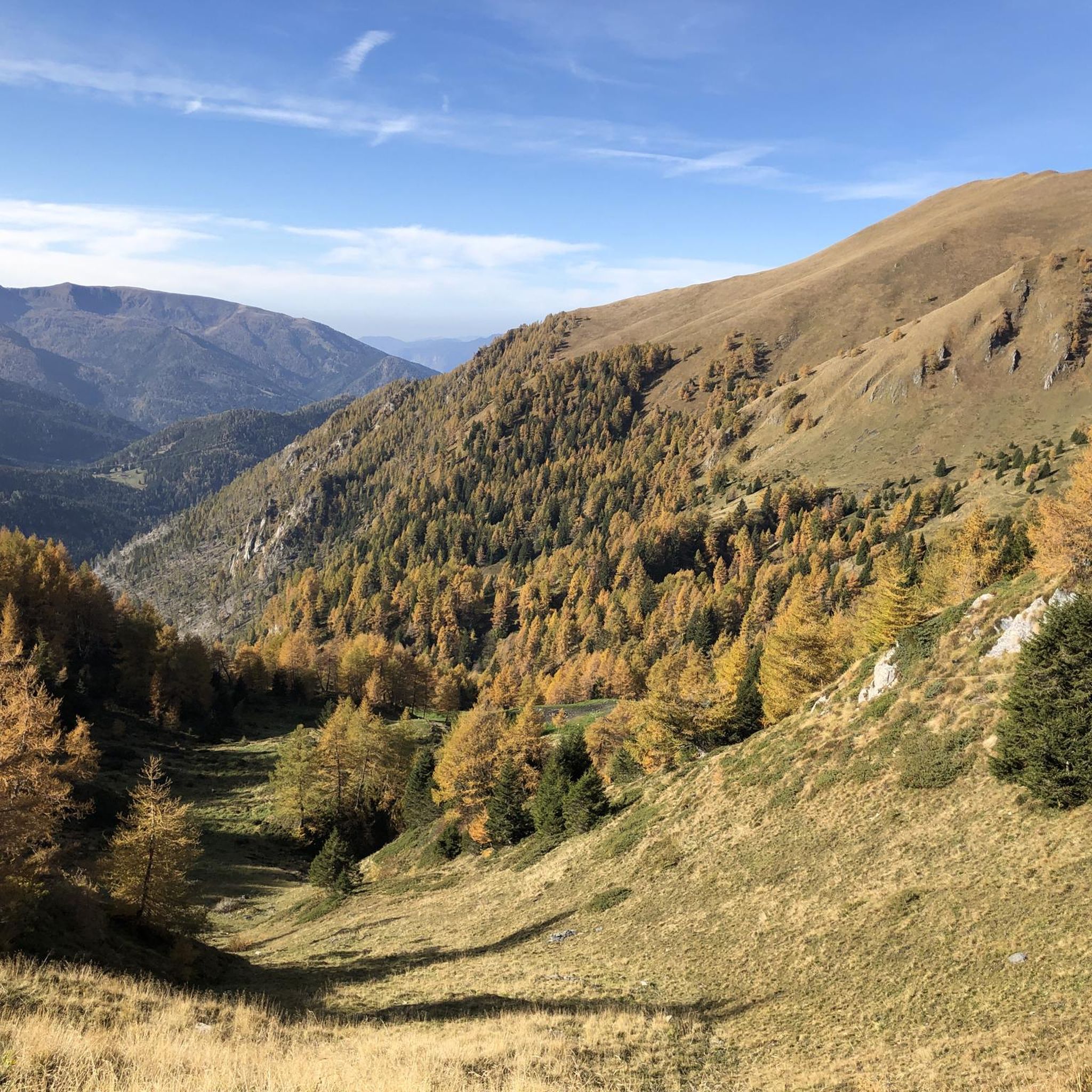
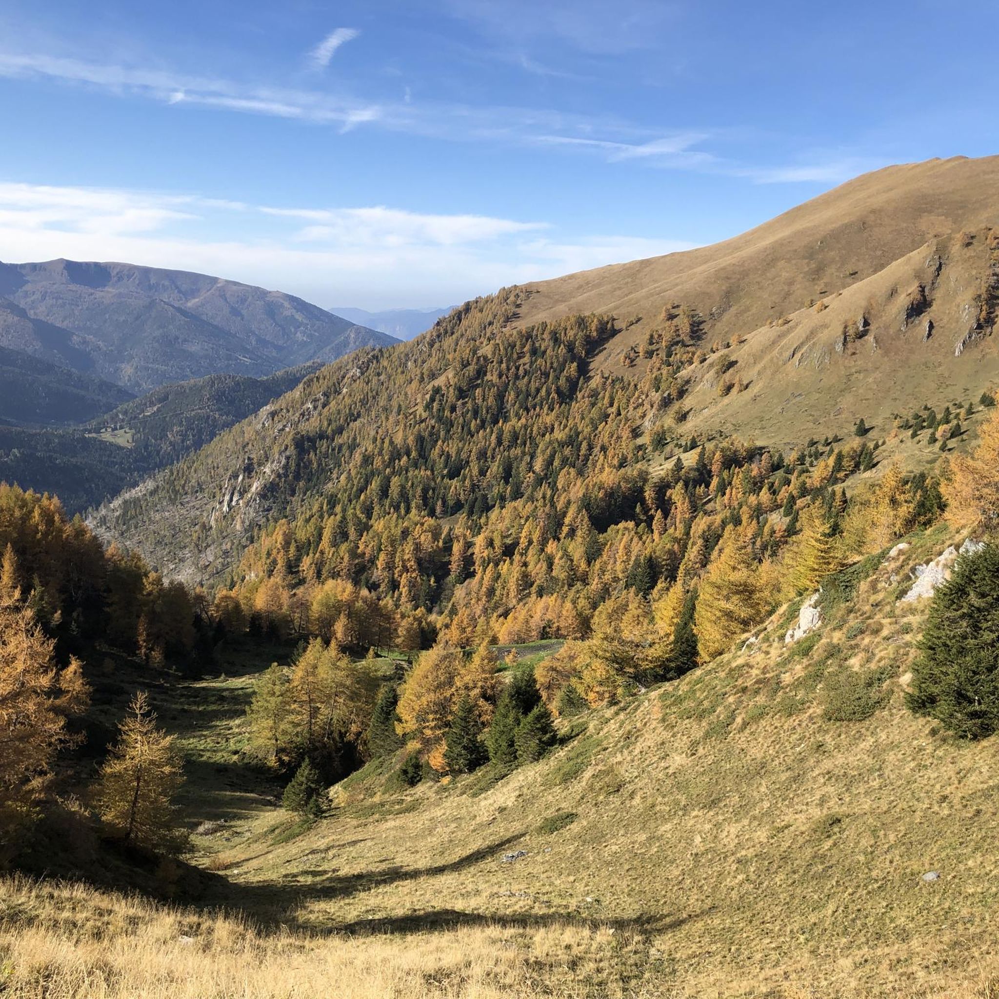
A magnificent excursion to do in autumn when everything takes on a unique colour.
0
0

I recommend stopping at the Tita Secchi refuge, Alessandra and Piero and their staff were fantastic, delicious lunch and a family and relaxing atmosphere!!
1
1


A place with a wonderful panorama, with a fantastic view of the Concarena massif. In autumn, since the sun is low and hides behind the mountain massif, it creates enchanting plays of light and shadow. Easy to reach, it is in fact just a few meters from the Cimon Bagozza refuge, reachable by car. Suitable for everyone, including children and the elderly
0
0

komootモバイルアプリでインスピレーションを得よう


さらに探索
まだ完璧な湖が見つかりませんかニアルドでの?これらの地域のガイドをチェックして、さらに美しい場所を見てみましょう。
