ロッカ・ディ・カンビオのおすすめランニングルート
4.4
(25)
1,185
ランナー
99
ランニング
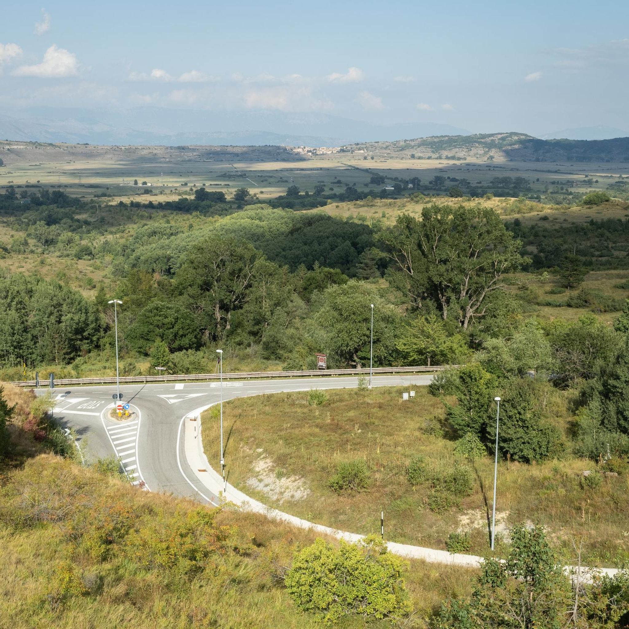
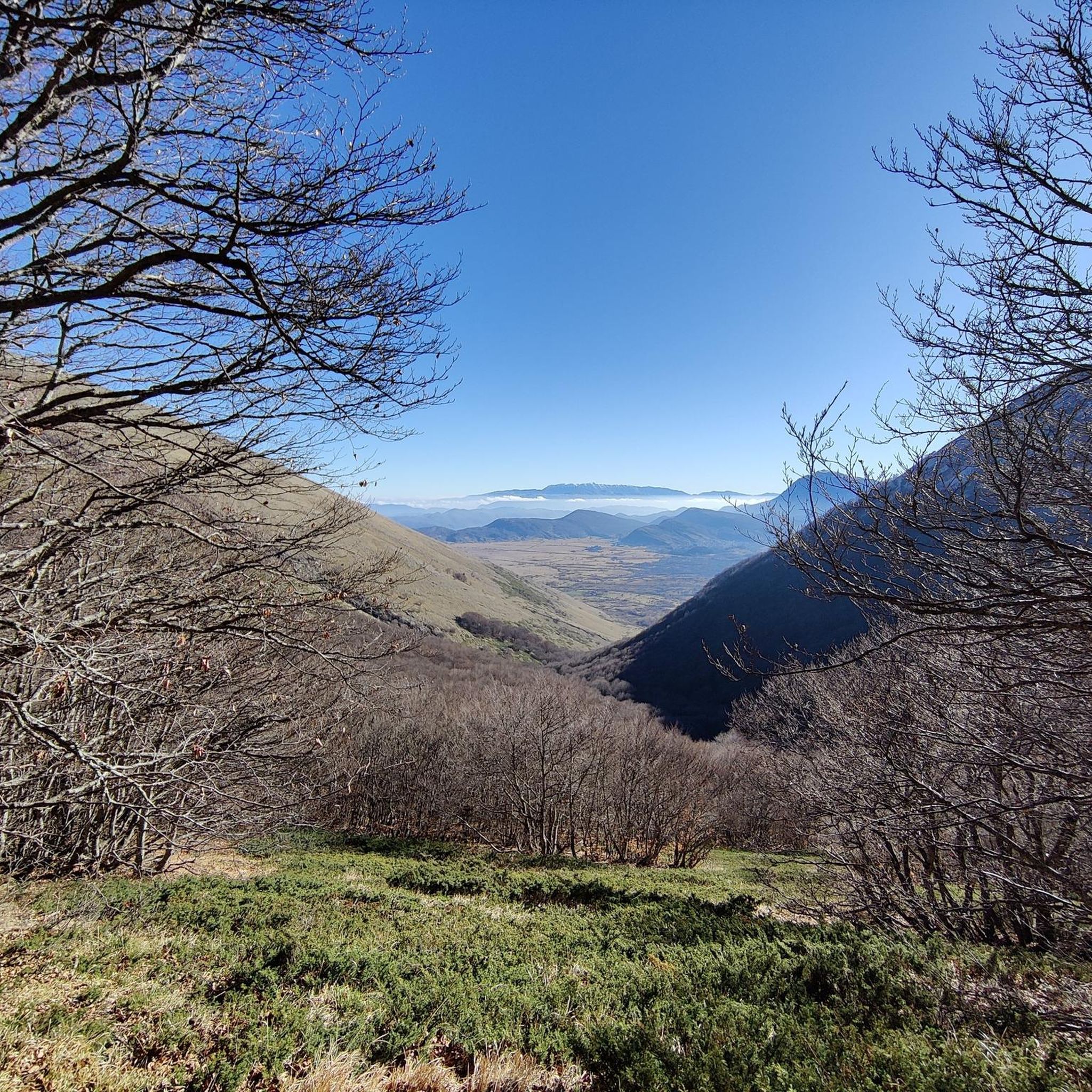
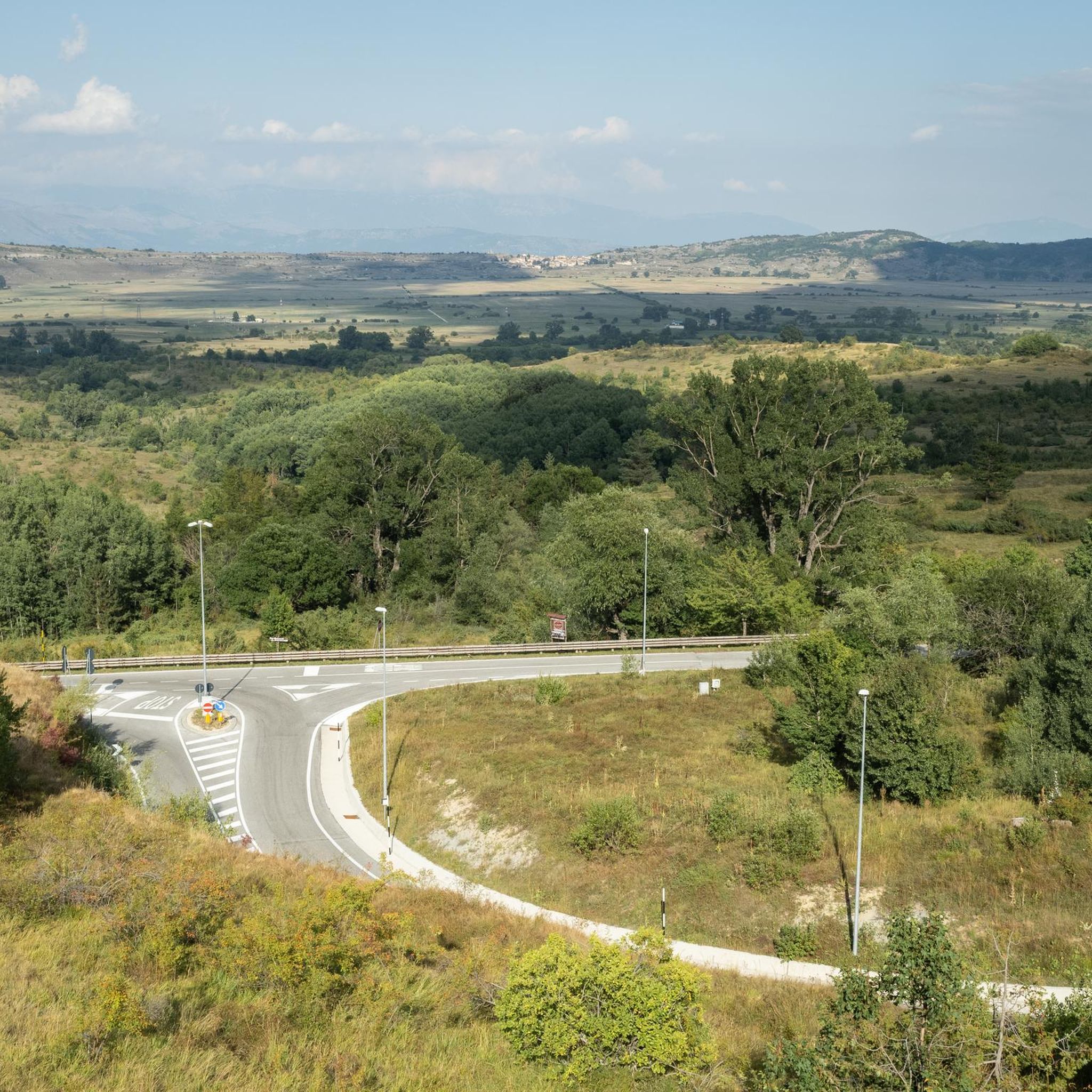
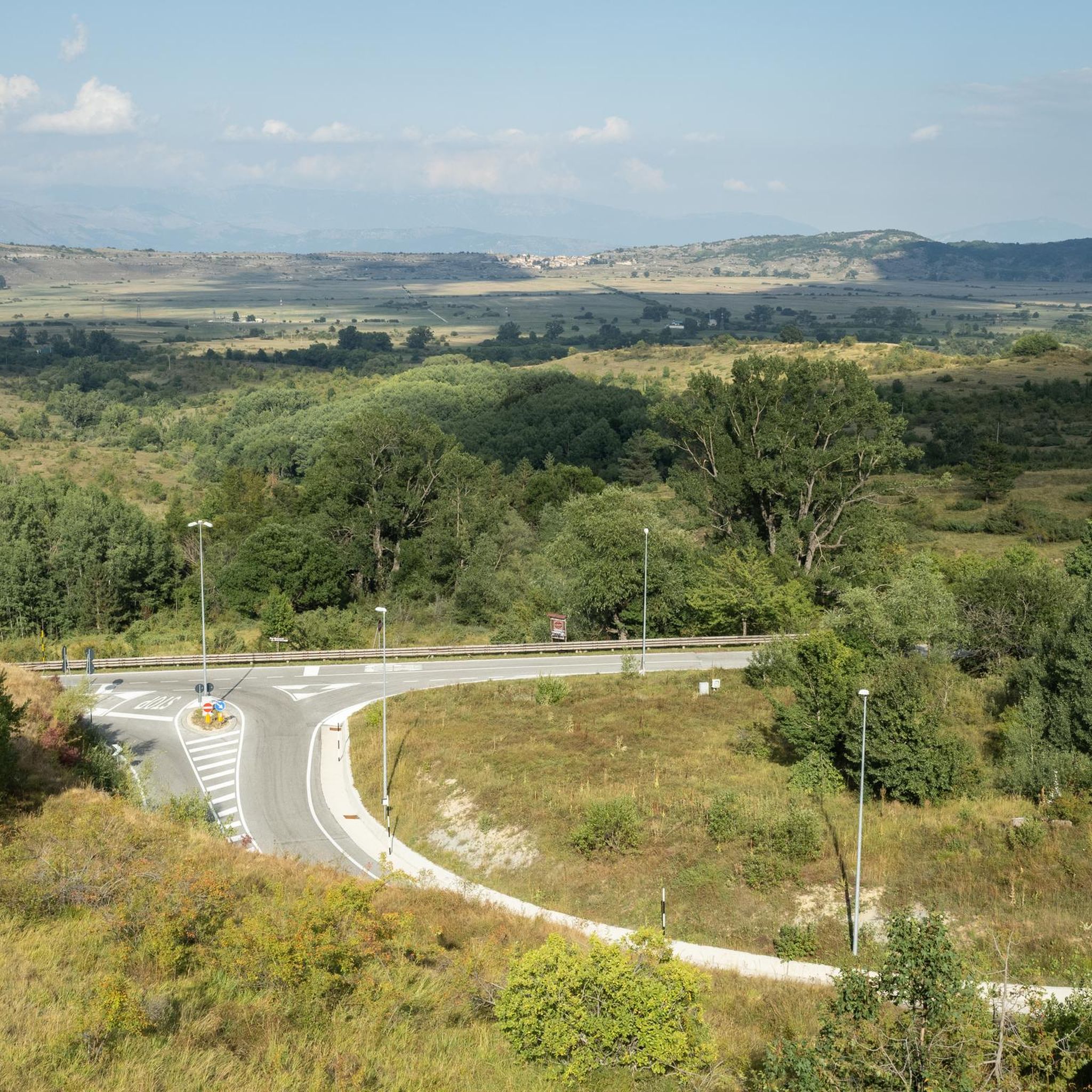
ロッカ・ディ・カンビオ周辺のジョギングルートは、イタリアのアブルッツォ州に位置し、アウトドア愛好家に多様な環境を提供しています。この地域は、山岳地帯、高地の平原(アルトピアーノ・デッレ・ロッケ)、シレンテ=ヴェリーノ地域公園に含まれていることが特徴です。標高1,434メートルにあるロッカ・ディ・カンビオは、澄んだ空気と、モンテ・カニョやモンテ・オクレのような山の周りのアクセスしやすい小道から、より挑戦的なランニングルートまで、変化に富んだ景観を提供します。この地域には広大な草地の高原と古代の森があり、ランナーに多様なトレイル特性を提供しています。
ロッカ・ディ・カンビオ周辺の最高のジョギングルート
- 最も人気のあるジョギングルートは 聖トマスの道 - ステージ10 で、9.1マイル(14.7 km)のトレイルで、所要時間は1時間36分です。このルートは、変化に富んだ景観の中を、かなりの標高差を伴う挑戦的な体験を提供します。
- 地元のランナーに人気のもう一つのルートは ロッカ・ディ・カンビオからのロッカ・ディ・メッツォ・ループ で、5.7マイル(9.2 km)の中程度の長さのルートです。このルートは、穏やかな標高変化を伴う地元の風景の中を走る景色の良いランを提供します。
- 地元のランナーは ロッカ・ディ・メッツォからの追悼公園 – メモリアルチャペル・ループ も気に入っています。これは4.3マイル(6.9 km)のトレイルで、変化に富んだ地形を通り抜け、所要時間は約44分です。
- ロッカ・ディ・カンビオ周辺のジョギングは、シレンテ=ヴェリーノ地域公園内の高地の平原、山岳地帯、保護された公園地帯によって特徴づけられます。このネットワークは、簡単なループからより難しい山のトレイルまで、さまざまなレベルの能力に対応するオプションを提供します。
- ロッカ・ディ・カンビオのルートは、komootコミュニティから高く評価されており、17件以上のレビューから平均4.5つ星を獲得しています。900人以上のランナーがkomootを利用して、ロッカ・ディ・カンビオの多様な地形を探索しました。
最終更新日: 10月 8, 2026
5.0
(3)
48
ランナー
12.2km
01:16
60m
60m
Embark on the Altopiano delle Rocche Trail, a moderate jogging route that stretches for 7.6 miles (12.2 km) across a scenic high plateau. You will gain 203 feet (62 metres)…
14.7km
01:36
300m
300m
This difficult 9.1-mile jogging route on the Way of St. Thomas Stage 10 features a steep 20% gradient and leads to Pagliare di Fontecchio.

36
ランナー
7.34km
00:47
30m
30m
中程度のジョギング. ある程度のフィットネスレベルが必要です。 全般的に舗装された状態です。あらゆるスキルレベルに適しています。
27
ランナー
8.53km
00:55
50m
50m
中程度のジョギング. ある程度のフィットネスレベルが必要です。 全般的に舗装された状態です。あらゆるスキルレベルに適しています。
4.0
(1)
25
ランナー
9.25km
00:58
50m
50m
中程度のジョギング. ある程度のフィットネスレベルが必要です。 全般的に舗装された状態です。あらゆるスキルレベルに適しています。
さらに多くのルートや他のユーザーのおすすめ情報を確認できます。
すでにアカウントをお持ちですか?
おすすめのツアーは他のkomootユーザーが実際に経験した何千ものアクティビティに基づいています。
無料アカウントで今日から始めよう
次の冒険が待っています。

コミュニティからのヒント

A magical place in the middle of the plateau. Accessible by road from Terranera and by the trails that cut through the valley, easily accessible even on gravel bikes.
0
0

Going downhill towards the town of Secinaro, it is a dirt road that is sometimes challenging. To be taken after the town of Terranera.
0
0
With its 1434 meters above sea level, it is the highest municipality in the entire Apennines.
0
0

Town in an excellent position for road and dirt bike tours.
0
0

The Terranera Remembrance Park is dedicated to the fallen of the First and Second World Wars and houses a small octagonal stone votive temple. It offers a truly breathtaking panoramic view of the Rocche plateau and the surrounding mountains.
0
0
Beautiful and well-maintained cycle paths
0
0

Far from the frenzy of modernity, immersed in nature, in silence, in slowness
0
0
A particular thing along the very pleasant cycle path
0
0
ロッカ・ディ・カンビオでのの人気観光スポット

komootモバイルアプリでインスピレーションを得よう


さらに探索
他の地域の最高のランニングトレイル & ルートを見てみましょう。
